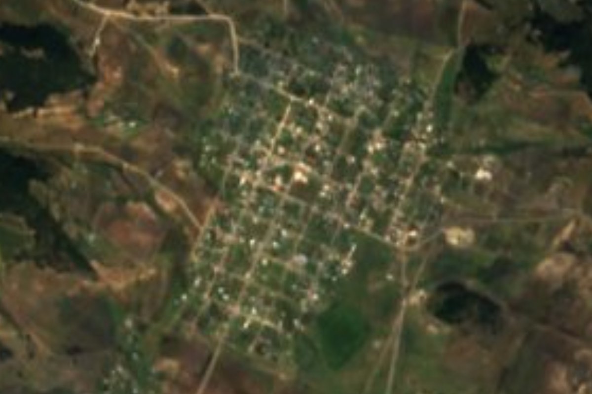
Village Chignahuapan, Puebla Municipality of Chignahuapan Sierra Norte de Puebla
Chignahuapan village at 2,767 m that names the Acoculco caldera, a geothermal zone where the CFE has drilled exploration wells.
From Tulancingo: 45 min by car (28 km by road) How to get there ↓
Near here
See everything nearby ↓
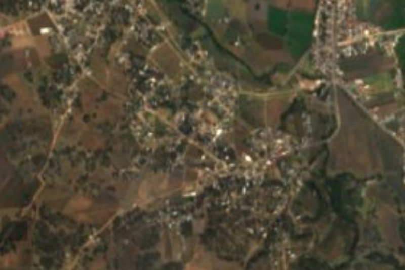

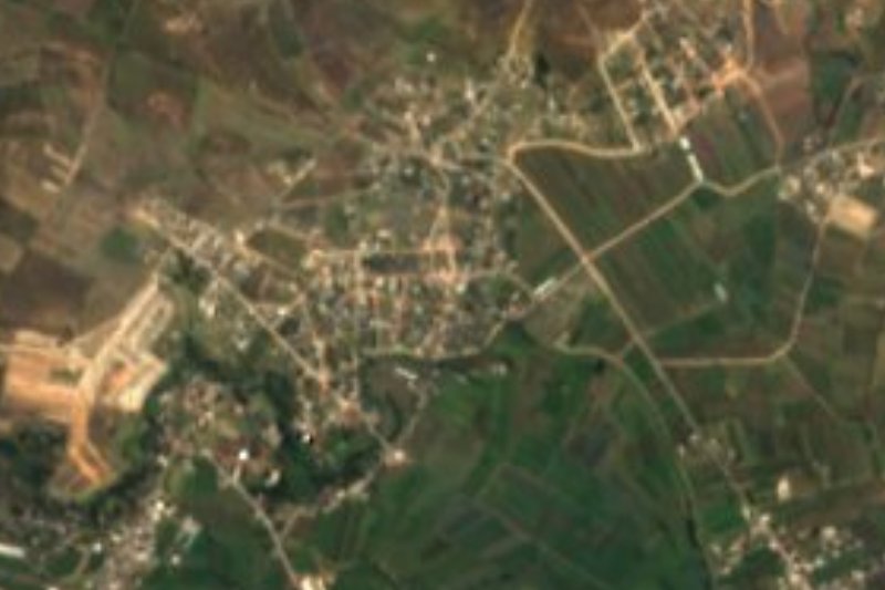

Plan your visit to Acoculco
Where to stay near Acoculco
Compare hotels, posadas and guest houses in Acoculco.
Tours to Acoculco
Day trips and guided outings from Chignahuapan often include Acoculco; with a local guide you can get there without a car.
 Tours from Zacatlan
Zacatlán Guided Tour walking through the Center
★ 5.0 (2) · From US$8
How to get to Acoculco
- From Tulancingo: about 45 min by road (~28 km)
- Nearest airport: Puebla (PBC), 1 h 30 min by car to Chignahuapan
Links open a partner site. We may earn a commission if you book, at no cost to you.
Tours from Zacatlan, near Acoculco
Tours, prices and ratings from Viator, checked weekly. We may earn a commission if you book.
About Acoculco
Beneath the fields of Acoculco lies volcanic heat. The village gives its name to the Acoculco caldera complex, an old volcanic system of late Pliocene to Pleistocene age on the Puebla–Hidalgo border that geologists study for its geothermal potential. Wells more than 1.5 km deep have confirmed a thermal anomaly underground, though none has yet proven a usable resource. Studies of the area measure carbon dioxide seeping from the ground and map springs and ground altered by hot water; one reference point is exploration well EAC-1. In October 2015 Mexico's Energy Secretariat gave the CFE permission to explore the area, and in 2022 the utility announced another well, EAC-3, at a cost of about 70 million pesos.
The locality appears in official records as Acoculco (Alamedilla). It had 1,993 residents in 2020 and is one of the highest settlements in the region: it sits at 2,767 m in the far north-west of the huge municipality of Chignahuapan, the second largest in Puebla at 759 km². In Nahuatl the name is read as "where the water twists", from atl, water, and cocoltic, something twisted. At that height the air is cold: the municipality ranges from mild to cool, with averages of 10 to 16 °C and 600 to 900 mm of summer rain, and its highest summit is the Peñón del Rosario at 3,440 m.
Farmland dominates the surroundings, covering more than half of Chignahuapan, alongside forest on another 37%. The municipal seat, about 22 km away, is a Pueblo Mágico known for its Christmas baubles and ornaments, clay pottery, gabanes and jorongos woven on looms, and rustic furniture. Local food includes mole poblano, pressed chicharrón and cheese bread, with sweets of candied squash and tejocote, pumpkin-seed and pine-nut jamoncillo and milk sweets. Tulancingo, across the line in Hidalgo, is about 23 km off.
How to get to Acoculco
Drive from Tulancingo: 45 min, 28 km
First get to Chignahuapan. About four ATAH buses a day and as many Autobuses Supra services leave Puebla's CAPU terminal, taking 2 to 2 h 25 min over some 102 km of road. From Chignahuapan, Acoculco is about 22 km north-west in a straight line, toward the Hidalgo border; there is no published timetable for local transport on that last stretch, so ask in town or drive. From Tulancingo, Hidalgo, the distance is similar, about 23 km.
Directions to Acoculco on Google Maps
Distances are in a straight line; the road is usually longer.
Links open a partner site. We may earn a commission if you book, at no cost to you.
From the nearest cities to Acoculco
- Tulancingo · 28 km by road, 45 min
- Huauchinango · 68 km by road, 1 h 5 min
- Pachuca · 74 km by road, 1 h 25 min
Drive times by road from OpenStreetMap, without traffic or stops. Times marked ~ are estimated from the straight-line distance.
Visiting Acoculco: what to see and do
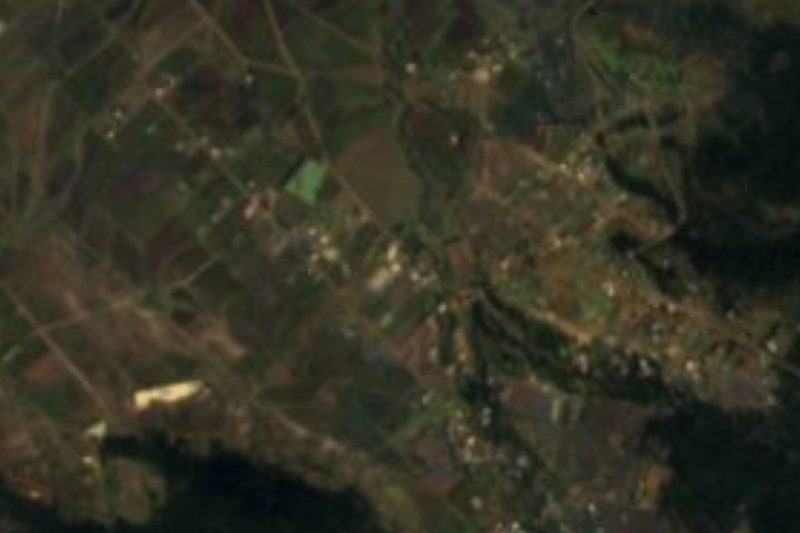
The landscape of the Acoculco caldera, a geothermal zone under study.
Peñón del Rosario, the municipality's 3,440 m summit.
Chignahuapan, a Pueblo Mágico about 22 km away: Christmas baubles, pottery and gabanes.
Local cheese bread and tejocote and pine-nut sweets.
Plan your trip
Places to stay in Acoculco
Compare hotels, posadas, and rentals in and around Acoculco.
Tours & activities
Day trips and guided outings from Chignahuapan often include Acoculco; with a local guide you can get there without a car.
Rental cars
Pick up a car at PBC (Puebla): about 1 h 30 min by road to Chignahuapan, then 22 km more to Acoculco, on your own schedule.
Flights
The nearest airport with scheduled flights is Puebla (PBC), about 1 h 30 min by road from Chignahuapan, the base for Acoculco.
Mobile data
Signal can drop away from Chignahuapan: download a map of the way to Acoculco before you set out, or carry an eSIM with data.
Links open a partner site. We may earn a commission if you book, at no cost to you.
When to go to Acoculco cool
Acoculco shares the climate of Chignahuapan, 22 km away. The best months to visit are February, March, April, and May.
See the month-by-month climate of Chignahuapan
Weather in Acoculco now and the next 7 days
Live forecast from Open-Meteo. Chance of rain is the day's highest.
The closest Pueblo Mágico: Chignahuapan

Chignahuapan is the Pueblo Mágico closest to Acoculco, with places to stay, food, and more to see.
Also close to
- Acaxochitlán · Hidalgo · 25 km away
- Zacatlán · Puebla · 26 km away
- Huauchinango · Puebla · 31 km away
- Tlaxco · Tlaxcala · 37 km away
- Pahuatlán · Puebla · 39 km away
Closest to Acoculco
-
Ahuazotepec · Village · 14 km away
-
Almoloya · Village · 15 km away
-
Cuautepec de Hinojosa · Town · 16 km away
-
El Tepeyac · Village · 17 km away
-
Tezoquipa · Village · 17 km away
-
Ventoquipa · Village · 17 km away
-
Acolihuia · Village · 19 km away
-
Beristáin · Village · 19 km away


Near Acoculco

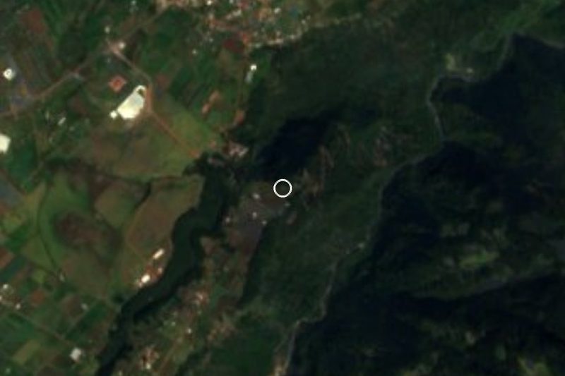



Drive times by road from OpenStreetMap, without traffic. Times marked ~ are estimated from the straight-line distance.
Location from OpenStreetMap. Written by Puebloteca.