
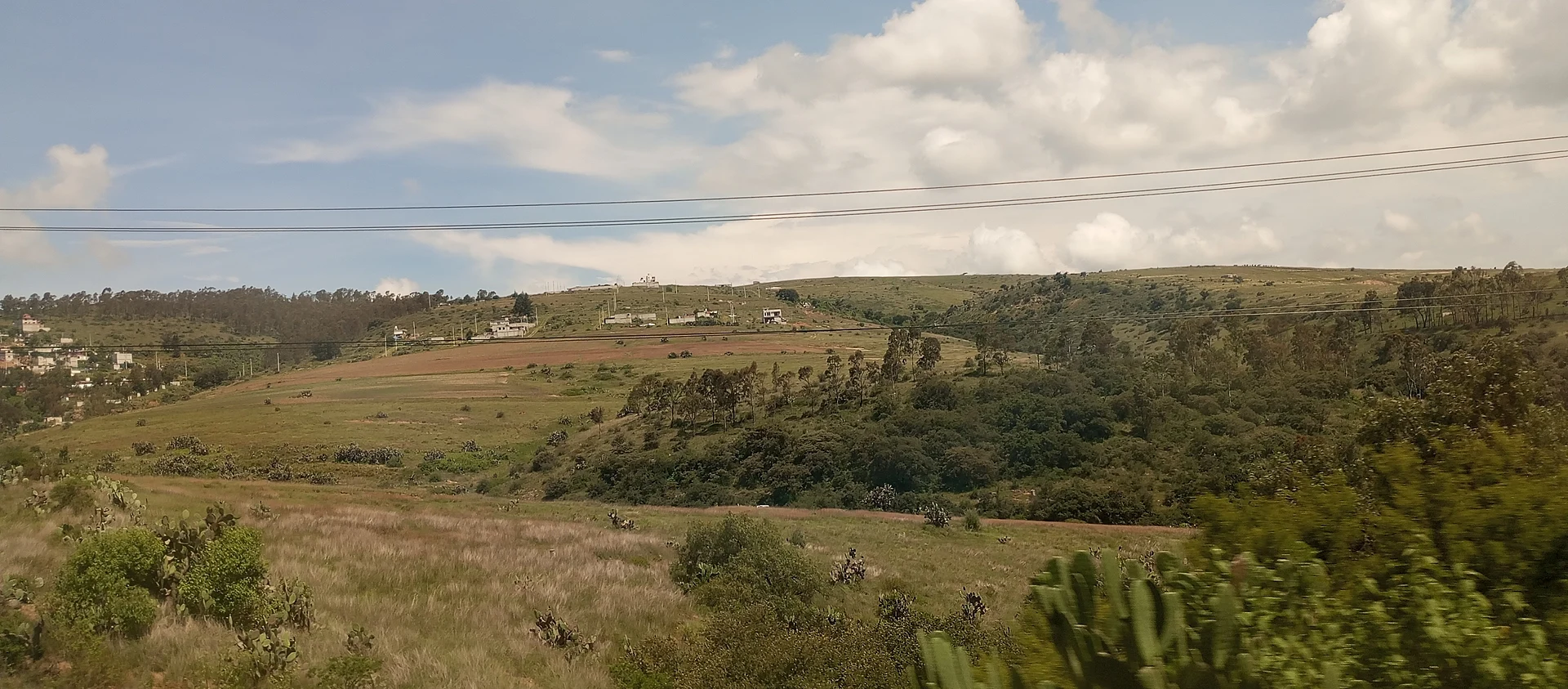
Village Santiago Tulantepec de Lugo Guerrero, Hidalgo Municipality of Santiago Tulantepec de Lugo Guerrero
Tulancingo valley village at 2,212 m, with a railway station that starts a tourist route in Santiago Tulantepec.
From Tulancingo: 10 min by car (8 km by road) How to get there ↓
Near here
See everything nearby ↓



Plan your visit to Ventoquipa
Where to stay near Ventoquipa
Compare hotels, posadas and guest houses in Ventoquipa.
Tours to Ventoquipa
Day trips and guided outings from Acaxochitlán often include Ventoquipa; with a local guide you can get there without a car.
 Tours from Zacatlan
Zacatlán Guided Tour walking through the Center
★ 5.0 (2) · From US$8
How to get to Ventoquipa
- From Tulancingo: about 10 min by road (~8 km)
- Nearest airport: Poza Rica (PAZ), 1 h 41 min by car to Acaxochitlán
Links open a partner site. We may earn a commission if you book, at no cost to you.
Tours from Zacatlan, near Ventoquipa
Tours, prices and ratings from Viator, checked weekly. We may earn a commission if you book.
About Ventoquipa
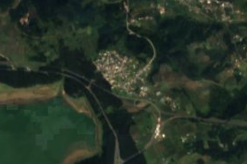
Ventoquipa is a village in the municipality of Santiago Tulantepec de Lugo Guerrero, in the Tulancingo valley, at 2,212 metres. Its terrain is rolling hills, with a temperate semi-arid climate, and water from the area runs to the Metztitlán sub-basin.
The railway station here is the starting point of a tourist route in the municipality. According to Criterio Hidalgo, the roughly two-and-a-half-hour tour begins at the station, continues to the Los Cangrejos springs and the Santiago Textil factory, and is made on the Tulanbus, a small tourist bus, combined with stretches on foot. When it was reported it was a pilot run, with the aim of repeating it at the end of each month.
The censuses show steady growth: 53 people in 1910, 155 in 1940, 602 in 1970, over a thousand in 2000 and 1,173 in 2020, 2.97% of the municipality. Santiago Tulantepec, 64 km² and mostly hills, belongs to the Tulancingo metropolitan area.
By coordinates, Tezoquipa, already in Cuautepec de Hinojosa, is a few hundred metres away.
How to get to Ventoquipa
Drive from Tulancingo: 10 min, 8 km
Ventoquipa is about 6 km in a straight line from Tulancingo (roughly 5 to 10 minutes by car per the brief's estimate) and about 20 km from Acaxochitlán, the nearest Pueblo Mágico (roughly 25 minutes). Santiago Tulantepec, the municipal seat, is the map reference for getting there.
Without a car, go to Tulancingo and ask there for local transport or a taxi to Ventoquipa and its station. If you want the Tulanbus tourist route, ask the Santiago Tulantepec municipality about dates first, since it was presented as a pilot run.
Directions to Ventoquipa on Google Maps
Distances are in a straight line; the road is usually longer.
Links open a partner site. We may earn a commission if you book, at no cost to you.
From the nearest cities to Ventoquipa
- Tulancingo · 8 km by road, 10 min
- Huauchinango · 49 km by road, 50 min
- Pachuca · 52 km by road, 50 min
Drive times by road from OpenStreetMap, without traffic or stops. Times marked ~ are estimated from the straight-line distance.
Visiting Ventoquipa: what to see and do
Ventoquipa railway station, start of the tourist route
The Los Cangrejos springs, the second stop of the tour
The Santiago Textil factory, part of the same route
Views of the Tulancingo valley from the hills
Plan your trip
Places to stay in Ventoquipa
Compare hotels, posadas, and rentals in and around Ventoquipa.
Tours & activities
Day trips and guided outings from Acaxochitlán often include Ventoquipa; with a local guide you can get there without a car.
Rental cars
Pick up a car at PAZ (Poza Rica): about 1 h 41 min by road to Acaxochitlán, then 20 km more to Ventoquipa, on your own schedule.
Flights
The nearest airport with scheduled flights is Poza Rica (PAZ), about 1 h 41 min by road from Acaxochitlán, the base for Ventoquipa.
Mobile data
Signal can drop away from Acaxochitlán: download a map of the way to Ventoquipa before you set out, or carry an eSIM with data.
Links open a partner site. We may earn a commission if you book, at no cost to you.
When to go to Ventoquipa cool
Ventoquipa shares the climate of Acaxochitlán, 20 km away. The best months to visit are February, March, April, and May.
See the month-by-month climate of Acaxochitlán
Weather in Ventoquipa now and the next 7 days
Live forecast from Open-Meteo. Chance of rain is the day's highest.
The closest Pueblo Mágico: Acaxochitlán

Acaxochitlán is the Pueblo Mágico closest to Ventoquipa, with places to stay, food, and more to see.
Also close to
- Huasca de Ocampo · Hidalgo · 33 km away
- Huauchinango · Puebla · 34 km away
- Pahuatlán · Puebla · 34 km away
- Real del Monte · Hidalgo · 37 km away
- Zempoala · Hidalgo · 37 km away
Closest to Ventoquipa
-
Tezoquipa · Village · 0 km away
-
Santiago Tulantepec · Town · 2 km away
-
Almoloya · Village · 3 km away
-
Cuautepec de Hinojosa · Town · 3 km away
-
El Tepeyac · Village · 3 km away
-
Tulancingo · City · 6 km away
-
Los Romeros · Village · 8 km away
-
El Pedregal de San José · Village · 9 km away


Near Ventoquipa





Drive times by road from OpenStreetMap, without traffic. Times marked ~ are estimated from the straight-line distance.
Location from OpenStreetMap. Written by Puebloteca.