

Village Ahuazotepec, Puebla Sierra Norte de Puebla
Mountain town on the Hidalgo line, "on the hill of the old oaks", known as the cradle of truckers, with a transport fair at Holy Week.
From Huauchinango: 25 min by car (27 km by road) How to get there ↓
Near here
See everything nearby ↓



Plan your visit to Ahuazotepec
Where to stay near Ahuazotepec
Compare hotels, posadas and guest houses in Ahuazotepec.
Tours to Ahuazotepec
Day trips and guided outings from Acaxochitlán often include Ahuazotepec; with a local guide you can get there without a car.
 Tours from Zacatlan
Zacatlán Guided Tour walking through the Center
★ 5.0 (2) · From US$8
How to get to Ahuazotepec
- From Huauchinango: about 25 min by road (~27 km)
- Nearest airport: Poza Rica (PAZ), 1 h 41 min by car to Acaxochitlán
Links open a partner site. We may earn a commission if you book, at no cost to you.
Tours from Zacatlan, near Ahuazotepec
Tours, prices and ratings from Viator, checked weekly. We may earn a commission if you book.
About Ahuazotepec
Ahuazotepec is called "the cradle of the trucker": 53 freight companies are based in the municipality, with rigs that run all over Mexico, and its biggest celebration is a transport fair held every Holy Week for more than 50 years. The town, with 2,633 people in 2020, lies at about 2,280 m in north-western Puebla, on the road linking Huauchinango with Tulancingo in Hidalgo.
The name translates as "on the hill of the old oaks", from ahuatl, oak, zoltic, old, tepetl, hill, and co, place. The municipality, about 60 km², belonged to the Huauchinango district until 1895, when it became a free municipality. It borders Huauchinango, Zacatlán and Acaxochitlán in Hidalgo, and the Totolapa and Tlachinalco rivers cross it and meet. There are pine and oak forests in the north and south-east.
Holy Week blends pilgrimages and ceremonies with the robenos, young people in costume who accompany the processions. The parish church in town dates from the 16th century and has been decorated with oil paintings by a local artist. People carve wood and make pottery, and the highland table includes broad-bean soup and tamales, mole serrano, pulque and coffee. Farms grow maize, beans, potatoes, oats and fruit such as apples, pears, plums and capulín cherries.
How to get to Ahuazotepec
Drive from Huauchinango: 25 min, 27 km
Ahuazotepec lies on federal highway 130 between Tulancingo (Hidalgo, about 21 km) and Huauchinango. From Puebla, take the highway toward Tulancingo or the sierra road via Zacatlán; buses from Tulancingo to Huauchinango pass through town.
Directions to Ahuazotepec on Google Maps
Distances are in a straight line; the road is usually longer.
Links open a partner site. We may earn a commission if you book, at no cost to you.
From the nearest cities to Ahuazotepec
- Huauchinango · 27 km by road, 25 min
- Tulancingo · 41 km by road, 35 min
- Pachuca · 88 km by road, 1 h 15 min
Drive times by road from OpenStreetMap, without traffic or stops. Times marked ~ are estimated from the straight-line distance.
Visiting Ahuazotepec: what to see and do
The Holy Week transport fair, with the robenos.
The 16th-century parish church.
The pine and oak forests of the municipality.
The San José fair in Beristáin on 19 March.
Plan your trip
Places to stay in Ahuazotepec
Compare hotels, posadas, and rentals in and around Ahuazotepec.
Tours & activities
Day trips and guided outings from Acaxochitlán often include Ahuazotepec; with a local guide you can get there without a car.
Rental cars
Pick up a car at PAZ (Poza Rica): about 1 h 41 min by road to Acaxochitlán, then 13 km more to Ahuazotepec, on your own schedule.
Flights
The nearest airport with scheduled flights is Poza Rica (PAZ), about 1 h 41 min by road from Acaxochitlán, the base for Ahuazotepec.
Mobile data
Signal can drop away from Acaxochitlán: download a map of the way to Ahuazotepec before you set out, or carry an eSIM with data.
Links open a partner site. We may earn a commission if you book, at no cost to you.
When to go to Ahuazotepec cool
Ahuazotepec shares the climate of Acaxochitlán, 13 km away. The best months to visit are February, March, April, and May.
See the month-by-month climate of Acaxochitlán
Weather in Ahuazotepec now and the next 7 days
Live forecast from Open-Meteo. Chance of rain is the day's highest.
The closest Pueblo Mágico: Acaxochitlán

Acaxochitlán is the Pueblo Mágico closest to Ahuazotepec, with places to stay, food, and more to see.
Also close to
- Huauchinango · Puebla · 18 km away
- Zacatlán · Puebla · 25 km away
- Pahuatlán · Puebla · 26 km away
- Chignahuapan · Puebla · 28 km away
- Xicotepec · Puebla · 35 km away
Closest to Ahuazotepec
-
Beristáin · Village · 5 km away
-
Presa El Tejocotal · Lake · 9 km away
-
Camotepec · Village · 10 km away
-
El Tejocotal · Village · 11 km away
-
Acoculco · Village · 14 km away
-
Valle de Piedras Encimadas · Nature reserve · 14 km away
-
Cascadas de Chimalapa · Waterfall · 15 km away
-
Cascadas la Morena · Waterfall · 15 km away

Near Ahuazotepec

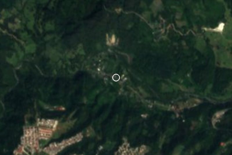




Drive times by road from OpenStreetMap, without traffic. Times marked ~ are estimated from the straight-line distance.
Location from OpenStreetMap. Written by Puebloteca.