Village Acaxochitlán, Hidalgo Municipality of Acaxochitlán
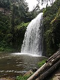
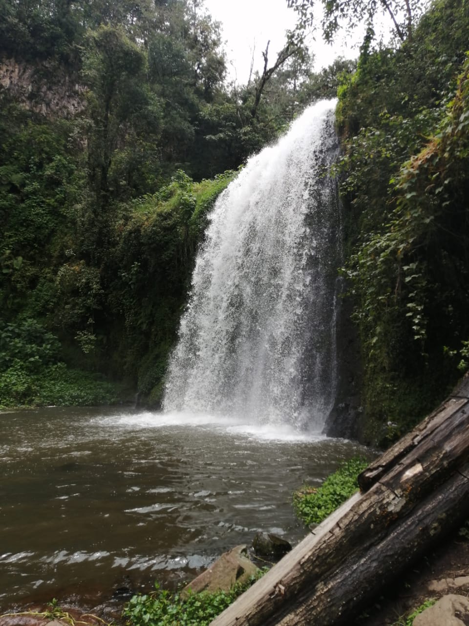
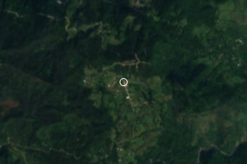
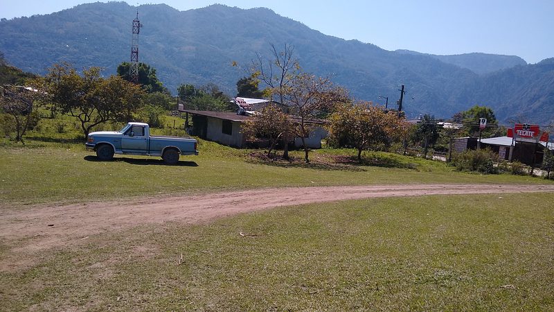
Acaxochitlán community at 2,042 m, where a footpath leads down to the twin Chimalapa waterfalls.
From Huauchinango: 35 min by car (29 km by road) How to get there ↓
Near here
See everything nearby ↓



Plan your visit to Chimalapa
Where to stay near Chimalapa
Compare hotels, posadas and guest houses in Chimalapa.
Tours to Chimalapa
Day trips and guided outings from Acaxochitlán often include Chimalapa; with a local guide you can get there without a car.
 Tours from Zacatlan
Zacatlán Guided Tour walking through the Center
★ 5.0 (2) · From US$8
How to get to Chimalapa
- From Huauchinango: about 35 min by road (~29 km)
- Nearest airport: Poza Rica (PAZ), 1 h 41 min by car to Acaxochitlán
Links open a partner site. We may earn a commission if you book, at no cost to you.
Tours from Zacatlan, near Chimalapa
Tours, prices and ratings from Viator, checked weekly. We may earn a commission if you book.
About Chimalapa
The name Chimalapa comes from Nahuatl Chimalapan, read as 'in the water of the shields': chimalli, shield, and apan, river. It lies at 2,042 metres above sea level in the Sierra de Tenango, about 7.5 km north-east of Acaxochitlán as the crow flies. In 2020 it had 2,217 residents, 1,176 women and 1,041 men, living in 354 homes.
The reason to come this far is the waterfalls. Wikivoyage describes two twin falls of around ten metres, set in woodland, with trails lined by tall trees, blackberry bushes, mushrooms and wildflowers, and camping spots close to the water. The final approach is a footpath where birdsong and regional plants line the way; the spot is not meant for swimming, though the spray cools you off. One kilometre further along the same road, the Salto de San Francisco drops almost 30 metres.
Rocks at the water's edge are slippery, so shoes with good grip help. The climate is temperate and humid with rain all year, and the land drains toward the San Marcos river in the Cazones basin. It makes a half-day or full-day trip, best with a picnic, a camera and some patience on the footpath.
How to get to Chimalapa
Drive from Huauchinango: 35 min, 29 km
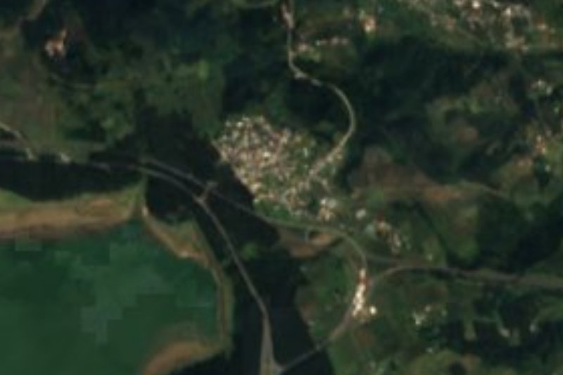
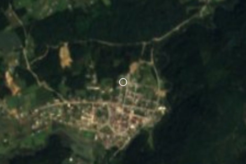
Reach it through Acaxochitlán, 69 km from Pachuca (Wikipedia). From Mexico City's Norte terminal, Conexiones runs about four buses a day to Acaxochitlán, a trip of just under two hours; Futura and AVM also serve it (Wikivoyage). From the town, Wikivoyage puts the falls about 12 km away and says a taxi gets you there easily; the Salto de San Francisco is 15 km out and is often added to the same trip. México Desconocido notes that Acaxochitlán is an hour from Pachuca and that the last stretch to the falls is on foot. By car it is roughly 20 to 30 minutes from Acaxochitlán's centre. Ask in town about the road's condition before heading up in the rainy season.
Directions to Chimalapa on Google Maps
Distances are in a straight line; the road is usually longer.
Links open a partner site. We may earn a commission if you book, at no cost to you.
From the nearest cities to Chimalapa
- Huauchinango · 29 km by road, 35 min
- Tulancingo · 33 km by road, 40 min
- Pachuca · 80 km by road, 1 h 20 min
Drive times by road from OpenStreetMap, without traffic or stops. Times marked ~ are estimated from the straight-line distance.
Before you go to Chimalapa: hours, prices and tips
- What to bring
- Non-slip shoes: the rocks around the falls are slippery. Wikivoyage: Acaxochitlán · checked Oct 2026
- Rules
- Swimming is not allowed at the Chimalapa falls; visitors cool off in the spray. México Desconocido: Acaxochitlán · checked Oct 2026
Hours and prices change, especially around holidays. Each fact links to where we checked it.
Visiting Chimalapa: what to see and do
Chimalapa waterfalls, two twin falls of about 10 m
Forest footpath to the falls, with blackberries, mushrooms and flowers
Camping areas near the water
Salto de San Francisco, almost 30 m, one kilometre further on
Acaxochitlán: clock tower and archaeology museum
Plan your trip
Places to stay in Chimalapa
Compare hotels, posadas, and rentals in and around Chimalapa.
Tours & activities
Day trips and guided outings from Acaxochitlán often include Chimalapa; with a local guide you can get there without a car.
Rental cars
Pick up a car at PAZ (Poza Rica): about 1 h 41 min by road to Acaxochitlán, then 6 km more to Chimalapa, on your own schedule.
Flights
The nearest airport with scheduled flights is Poza Rica (PAZ), about 1 h 41 min by road from Acaxochitlán, the base for Chimalapa.
Mobile data
Signal can drop away from Acaxochitlán: download a map of the way to Chimalapa before you set out, or carry an eSIM with data.
Links open a partner site. We may earn a commission if you book, at no cost to you.
When to go to Chimalapa cool
Chimalapa shares the climate of Acaxochitlán, 6 km away. The best months to visit are February, March, April, and May.
See the month-by-month climate of Acaxochitlán
Weather in Chimalapa now and the next 7 days
Live forecast from Open-Meteo. Chance of rain is the day's highest.
The closest Pueblo Mágico: Acaxochitlán

Acaxochitlán is the Pueblo Mágico closest to Chimalapa, with places to stay, food, and more to see.
Also close to
- Huauchinango · Puebla · 11 km away
- Pahuatlán · Puebla · 11 km away
- Xicotepec · Puebla · 24 km away
- Zacatlán · Puebla · 35 km away
- Chignahuapan · Puebla · 42 km away
Closest to Chimalapa
-
Cascadas de Chimalapa · Waterfall · 0 km away
-
Chachahuantla · Village · 3 km away
-
Santa Ana Tzacuala · Village · 5 km away
-
El Tejocotal · Village · 7 km away
-
Presa El Tejocotal · Lake · 7 km away
-
Honey · Village · 8 km away
-
Ahila · Viewpoint · 9 km away
-
Xolotla · Town · 9 km away
Near Chimalapa






Drive times by road from OpenStreetMap, without traffic. Times marked ~ are estimated from the straight-line distance.
Location from OpenStreetMap. Written by Puebloteca.