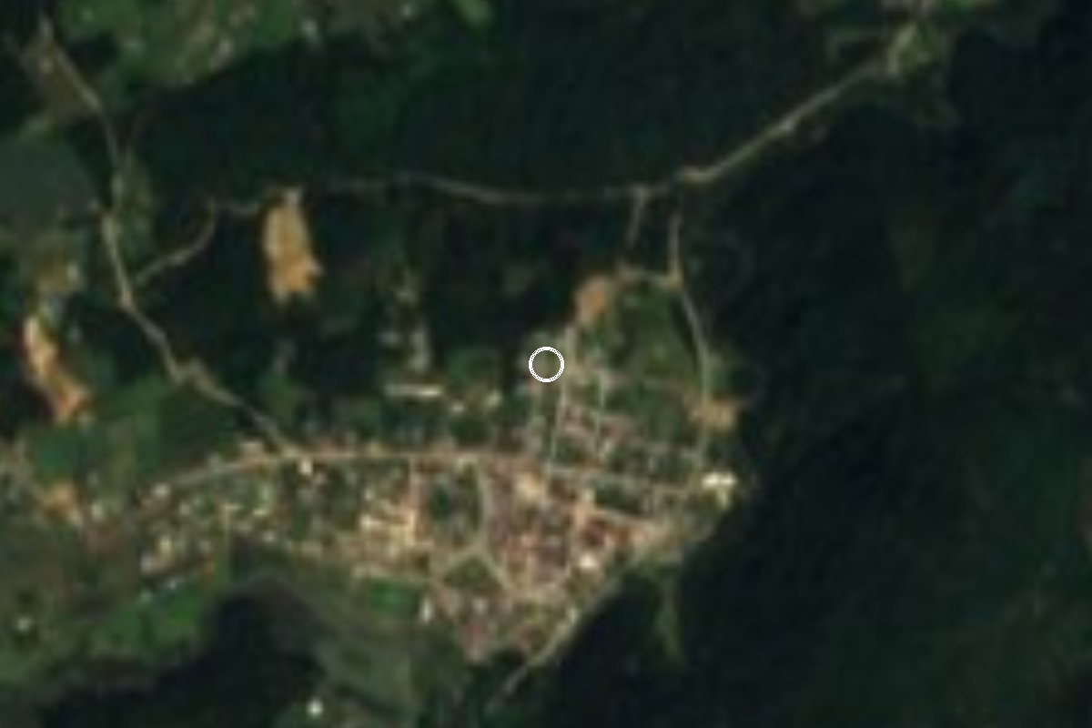
Village Honey, Puebla Municipality of Honey Sierra Norte de Puebla
Sierra Norte seat on the Hidalgo line, named after the Englishman Richard Honey; the Salto de la Cumbre waterfall and La Trinidad woods are close by.
From Tulancingo: 30 min by car (27 km by road) How to get there ↓
Near here
See everything nearby ↓


Plan your visit to Honey
Where to stay near Honey
Compare hotels, posadas and guest houses in Honey.
Tours to Honey
Day trips and guided outings from Pahuatlán often include Honey; with a local guide you can get there without a car.
How to get to Honey
- From Tulancingo: about 30 min by road (~27 km)
- Nearest airport: Poza Rica (PAZ), 2 h 3 min by car to Pahuatlán
Links open a partner site. We may earn a commission if you book, at no cost to you.
About Honey
Few towns in Puebla have an English name. Honey owes its name to Richard Honey (c. 1829-1913), a Cornish immigrant who invested in mining, metallurgy and railways in the area and set up a factory here making paints from local coloured earths and resins; Spanish Wikipedia adds that he built the local railway station. When the territory split from the old Huauchinango district in April 1919, the new municipality was called Chila Honey; in 1993 it became plain Honey.
The seat, with 1,122 people in 2020, stands on a small ridge in the northeast of the municipality, in the Sierra Norte right against the Hidalgo border. The land is rugged, between 1,300 and 2,300 m, with a temperate, rainy climate, and rivers such as the Honey and Los María rise in these hills before draining to the Tuxpan basin. Totonac and Otomí people settled the area before the Triple Alliance conquered it, and after the Spanish Conquest it was given out in encomienda.
The parish church, dedicated to the Holy Cross under the protection of San José, dates from the 16th century, and there is a municipal cultural centre. Fiestas fall on 19 March (San José), 3 to 5 May (Santa Cruz) and 10 September (San Nicolás Tolentino), with Quetzalines, Voladores, Tejedores and Huehues dances. Local cooking includes broad-bean soup and tamales, smoked chicken and pressed chicharrón, with mountain coffee and pear, peach or capulín preserves.
For a walk, the municipal profile points to the Salto de la Cumbre waterfall at La Cumbre del Manzano, about 500 m from the seat, and a wood at La Trinidad, 1 km away, used for picnics and camping.
How to get to Honey
Drive from Tulancingo: 30 min, 27 km
The easiest way in is from Hidalgo. From Tulancingo take federal highway 130 (Pachuca-Tuxpan) towards Acaxochitlán and after about 13 km turn left onto state road 106 towards Pahuatlán; Honey is about 11 km from that turn-off. In all it is about 27 km and 30 minutes. From Pahuatlán, the neighbouring pueblo mágico, it is about 15 km and 20 minutes on the same road 106. From the city of Puebla it is about 167 km and 2 h 30 min via Apizaco, road 119 to El Tejocotal and then highways 130 and 106. By bus, the practical option is to reach Tulancingo and look there for transport heading up road 106 to Pahuatlán.
Directions to Honey on Google Maps
Distances are in a straight line; the road is usually longer.
Links open a partner site. We may earn a commission if you book, at no cost to you.
From the nearest cities to Honey
- Tulancingo · 27 km by road, 30 min
- Huauchinango · 44 km by road, 45 min
- Pachuca · 74 km by road, 1 h 10 min
Drive times by road from OpenStreetMap, without traffic or stops. Times marked ~ are estimated from the straight-line distance.
Visiting Honey: what to see and do
The 16th-century parish church of the Holy Cross and San José.
The Salto de la Cumbre waterfall at La Cumbre del Manzano.
La Trinidad woods, for a picnic or camping.
The Santa Cruz fiesta, 3 to 5 May, with Voladores and Quetzalines.
The cultural centre.
Chila de Juárez, 1.5 km away.
Plan your trip
Places to stay in Honey
Compare hotels, posadas, and rentals in and around Honey.
Tours & activities
Day trips and guided outings from Pahuatlán often include Honey; with a local guide you can get there without a car.
Rental cars
Pick up a car at PAZ (Poza Rica): about 2 h 3 min by road to Pahuatlán, then 8 km more to Honey, on your own schedule.
Flights
The nearest airport with scheduled flights is Poza Rica (PAZ), about 2 h 3 min by road from Pahuatlán, the base for Honey.
Mobile data
Signal can drop away from Pahuatlán: download a map of the way to Honey before you set out, or carry an eSIM with data.
Links open a partner site. We may earn a commission if you book, at no cost to you.
When to go to Honey mild
Honey shares the climate of Pahuatlán, 8 km away. The best months to visit are January, February, March, and December.
See the month-by-month climate of Pahuatlán
Weather in Honey now and the next 7 days
Live forecast from Open-Meteo. Chance of rain is the day's highest.
The closest Pueblo Mágico: Pahuatlán

Pahuatlán is the Pueblo Mágico closest to Honey, with places to stay, food, and more to see.
Also close to
- Acaxochitlán · Hidalgo · 9 km away
- Huauchinango · Puebla · 18 km away
- Xicotepec · Puebla · 26 km away
- Huasca de Ocampo · Hidalgo · 40 km away
- Zacatlán · Puebla · 43 km away
Closest to Honey
-
Chila de Juárez · Village · 4 km away
-
Ahila · Viewpoint · 5 km away
-
Santa Ana Tzacuala · Village · 5 km away
-
Cascadas de Chimalapa · Waterfall · 8 km away
-
Chimalapa · Village · 8 km away
-
San Pablito · Town · 8 km away
-
Chachahuantla · Village · 9 km away
-
Xolotla · Town · 9 km away

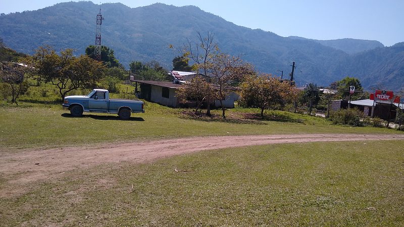
Near Honey




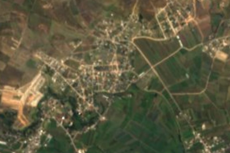
Drive times by road from OpenStreetMap, without traffic. Times marked ~ are estimated from the straight-line distance.
Location from OpenStreetMap. Written by Puebloteca.