
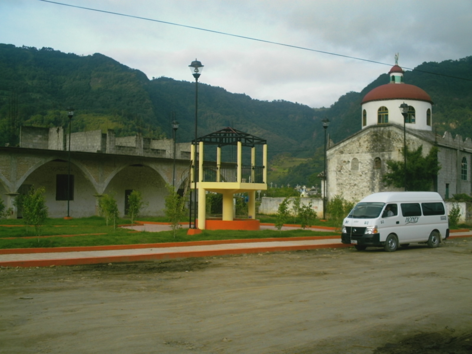
Village Honey, Puebla Municipality of Honey Sierra Norte de Puebla
Village in the municipality of Honey by the Hidalgo line, 7 km from Pahuatlán; the municipality is named after an English paint maker.
From Tulancingo: 50 min by car (38 km by road) How to get there ↓
Near here
See everything nearby ↓


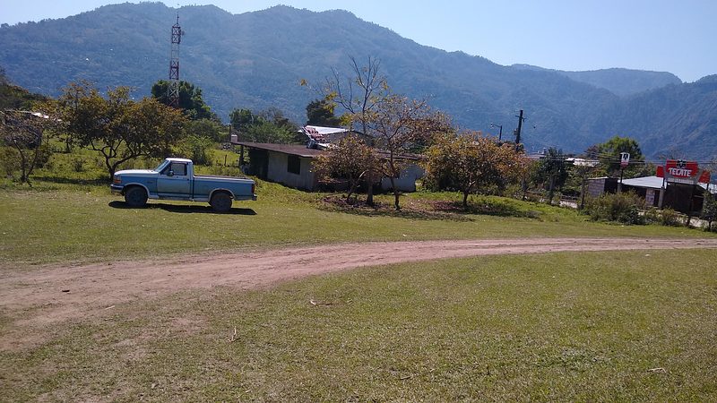
Plan your visit to Chila de Juárez
Where to stay near Chila de Juárez
Compare hotels, posadas and guest houses in Chila de Juárez.
Tours to Chila de Juárez
Day trips and guided outings from Pahuatlán often include Chila de Juárez; with a local guide you can get there without a car.
 Tours from Zacatlan
Zacatlán Guided Tour walking through the Center
★ 5.0 (2) · From US$8
How to get to Chila de Juárez
- From Tulancingo: about 50 min by road (~38 km)
- Nearest airport: Poza Rica (PAZ), 2 h 3 min by car to Pahuatlán
Links open a partner site. We may earn a commission if you book, at no cost to you.
Tours from Zacatlan, near Chila de Juárez
Tours, prices and ratings from Viator, checked weekly. We may earn a commission if you book.
About Chila de Juárez
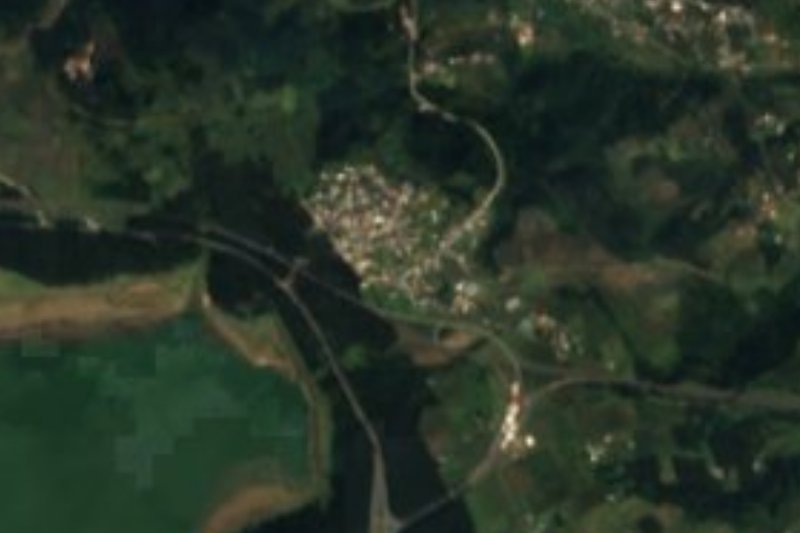
Chila de Juárez is a village in the municipality of Honey in north-western Puebla, next to the Hidalgo line. It stands at about 1,600 m and had 1,220 people in 2020. The name comes from the Nahuatl cili, little snail, and tlan, place of plenty: "place where little snails abound"; the surname Juárez honours President Benito Juárez.
The municipality has an unusual history. Totonac and Otomí peoples settled the area and were later conquered by the Aztecs, and in 1522 the Spaniards granted it as an encomienda. In April 1919 it split from the old district of Huauchinango and became a free municipality called Chila Honey, after the English businessman Richard Honey, who settled here and set up a factory making paints from local earth pigments and resins. In 1993 the municipality was renamed simply Honey.
The municipality borders the Hidalgo municipalities of Acaxochitlán, Metepec and Tenango de Doria to the east and south, and Pahuatlán to the west. Like other parts of northern Puebla it is hard to reach, with mountains and streams that mostly drain toward the Gulf. The Pueblo Mágico of Pahuatlán is just 7 km away in a straight line.
How to get to Chila de Juárez
Drive from Tulancingo: 50 min, 38 km
Chila de Juárez lies in the municipality of Honey, about 7 km in a straight line from the Pueblo Mágico of Pahuatlán and about 27 km from Tulancingo in Hidalgo. Puebla city is about 138 km away in a straight line. These are mountain roads; travel by daylight.
Directions to Chila de Juárez on Google Maps
Distances are in a straight line; the road is usually longer.
Links open a partner site. We may earn a commission if you book, at no cost to you.
From the nearest cities to Chila de Juárez
- Tulancingo · 38 km by road, 50 min
- Huauchinango · 56 km by road, 1 h 5 min
- Pachuca · 85 km by road, 1 h 30 min
Drive times by road from OpenStreetMap, without traffic or stops. Times marked ~ are estimated from the straight-line distance.
Visiting Chila de Juárez: what to see and do
The village among the mountains of northern Puebla.
The story of Richard Honey and his paint factory.
Pair it with Pahuatlán, a Pueblo Mágico 7 km away, and Tenango de Doria in Hidalgo.
Plan your trip
Places to stay in Chila de Juárez
Compare hotels, posadas, and rentals in and around Chila de Juárez.
Tours & activities
Day trips and guided outings from Pahuatlán often include Chila de Juárez; with a local guide you can get there without a car.
Rental cars
Pick up a car at PAZ (Poza Rica): about 2 h 3 min by road to Pahuatlán, then 7 km more to Chila de Juárez, on your own schedule.
Flights
The nearest airport with scheduled flights is Poza Rica (PAZ), about 2 h 3 min by road from Pahuatlán, the base for Chila de Juárez.
Mobile data
Signal can drop away from Pahuatlán: download a map of the way to Chila de Juárez before you set out, or carry an eSIM with data.
Links open a partner site. We may earn a commission if you book, at no cost to you.
When to go to Chila de Juárez mild
Chila de Juárez shares the climate of Pahuatlán, 7 km away. The best months to visit are January, February, March, and December.
See the month-by-month climate of Pahuatlán
Weather in Chila de Juárez now and the next 7 days
Live forecast from Open-Meteo. Chance of rain is the day's highest.
The closest Pueblo Mágico: Pahuatlán

Pahuatlán is the Pueblo Mágico closest to Chila de Juárez, with places to stay, food, and more to see.
Also close to
- Acaxochitlán · Hidalgo · 13 km away
- Huauchinango · Puebla · 20 km away
- Xicotepec · Puebla · 26 km away
- Huasca de Ocampo · Hidalgo · 41 km away
- Zacatlán · Puebla · 47 km away
Closest to Chila de Juárez
-
Ahila · Viewpoint · 4 km away
-
Honey · Village · 4 km away
-
San Pablito · Town · 6 km away
-
San José · Village · 7 km away
-
Tenango de Doria · Town · 7 km away
-
Xolotla · Town · 8 km away
-
Santa Ana Tzacuala · Village · 9 km away
-
Cascadas de Chimalapa · Waterfall · 11 km away


Near Chila de Juárez




Drive times by road from OpenStreetMap, without traffic. Times marked ~ are estimated from the straight-line distance.
Location from OpenStreetMap. Written by Puebloteca.