Village Santiago Tulantepec de Lugo Guerrero, Hidalgo Municipality of Santiago Tulantepec de Lugo Guerrero
A fast-growing community in Santiago Tulantepec, next to Tulancingo, on the rolling hills of the Tulancingo Valley at 2,199 m.
From Tulancingo: 10 min by car (7 km by road) How to get there ↓
Near here
See everything nearby ↓


Plan your visit to El Pedregal de San José
Where to stay near El Pedregal de San José
Compare hotels, posadas and guest houses in El Pedregal de San José.
Tours to El Pedregal de San José
Day trips and guided outings from Huasca de Ocampo often include El Pedregal de San José; with a local guide you can get there without a car.
 Tours from Zacatlan
Zacatlán Guided Tour walking through the Center
★ 5.0 (2) · From US$8
How to get to El Pedregal de San José
- From Tulancingo: about 10 min by road (~7 km)
- Nearest airport: Mexico City (Felipe Ángeles) (NLU), 1 h 21 min by car to Huasca de Ocampo
Links open a partner site. We may earn a commission if you book, at no cost to you.
Tours from Zacatlan, near El Pedregal de San José
Tours, prices and ratings from Viator, checked weekly. We may earn a commission if you book.
About El Pedregal de San José
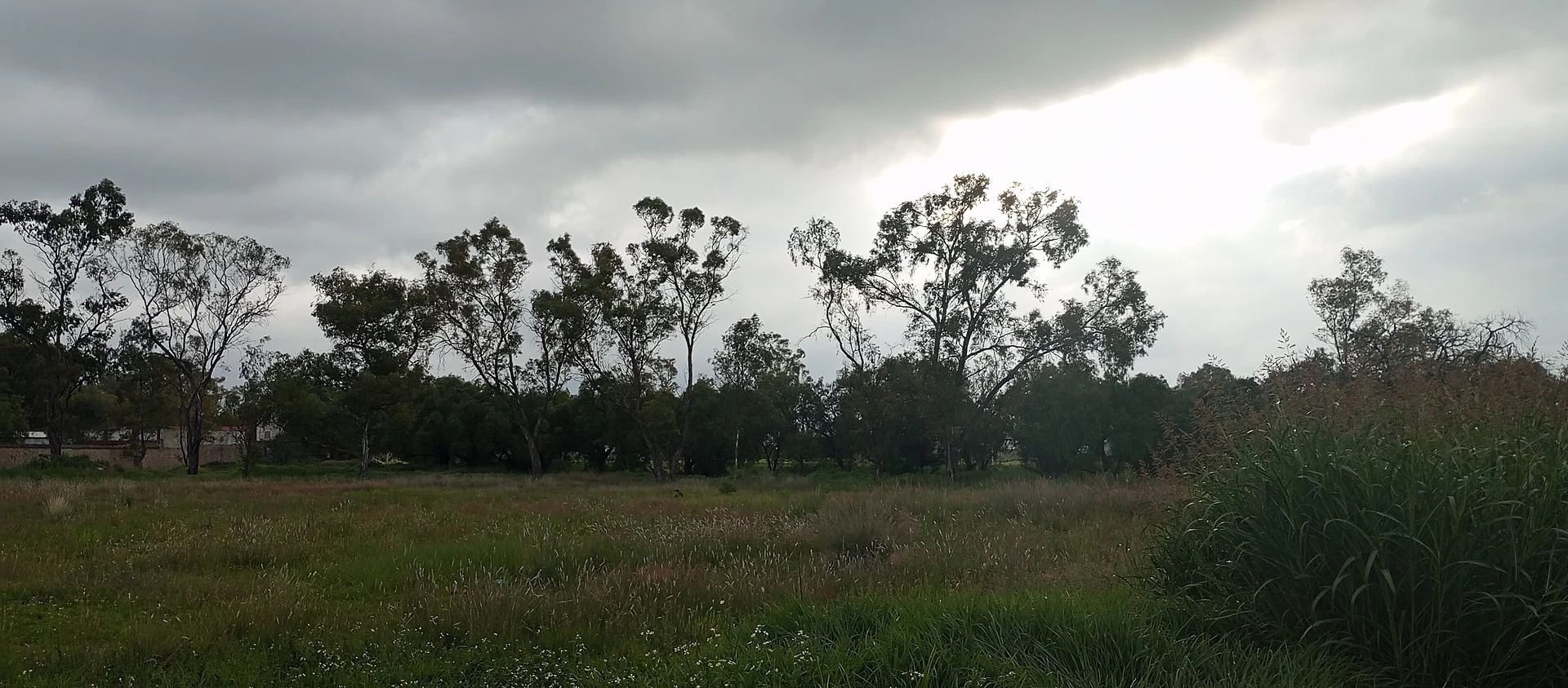
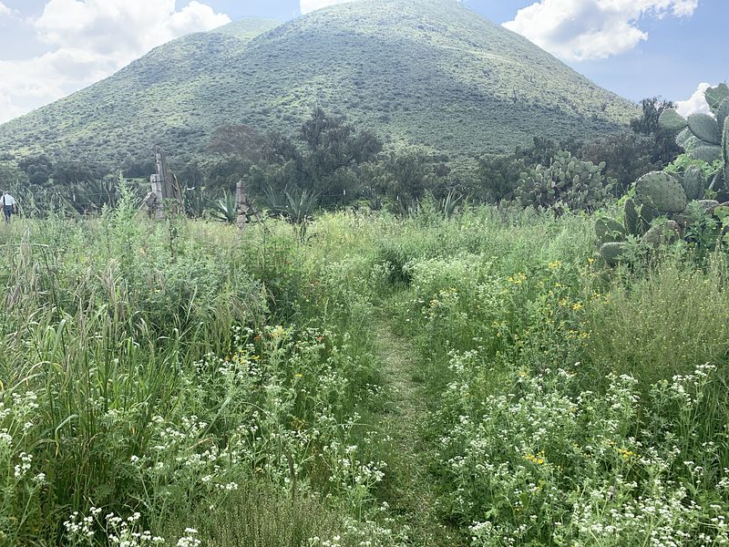
El Pedregal de San José sits among the rolling hills of the Tulancingo Valley, 2,199 metres above sea level, in the municipality of Santiago Tulantepec de Lugo Guerrero. The climate is semi-dry and temperate. The municipality has the San Lázaro river and the springs Los Cangrejos, La Zorrilla and Ventoquita, and its highest hills are El Campanario (2,500 m) and Cerro San José (2,720 m). Pine, fir, oak and cedar grow on the wetter slopes, and cacti turn up in the drier patches.
The numbers are what stand out. The 1970 census counted just 77 people; ten years later there were 911, by 1995 some 2,471, and in 2020 the total reached 3,472, or 8.78% of the whole municipality. It is now the third most populated locality in Santiago Tulantepec, after the municipal seat and the group of housing developments, and INEGI classes it as urban. That growth goes hand in hand with Tulancingo, the city that anchors the metropolitan area the municipality belongs to.
There are no monuments or set sights to tick off. You come for the everyday landscape of the Tulancingo Valley: open fields, low hills and wide skies toward sunset. For more to do, Tulancingo city and the rest of this 64 km² municipality are a few kilometres away.
How to get to El Pedregal de San José
Drive from Tulancingo: 10 min, 7 km
El Pedregal de San José is about 5 km in a straight line from Tulancingo (roughly 5 to 10 minutes by car), the city that anchors the metropolitan area. From Mexico City, Wikipedia gives 119 km to Tulancingo by autopista 132, and about 40 km from Pachuca; federal highways 130 (Pachuca-Poza Rica-Tampico) and 132 (Mexico-Teotihuacán-Tulancingo) are the city's main roads. Tulancingo has two bus stations, first and second class, with services from Mexico City (Terminal Norte), Tampico, Tuxpan, Poza Rica and nearby communities; get off there and continue by taxi or local transport to Santiago Tulantepec and El Pedregal. For the last stretch, local transport leaves from Tulancingo, so ask there for the route. Huasca de Ocampo, the nearest Pueblo Mágico, is about 24 km as the crow flies, roughly 30 minutes.
Directions to El Pedregal de San José on Google Maps
Distances are in a straight line; the road is usually longer.
Links open a partner site. We may earn a commission if you book, at no cost to you.
From the nearest cities to El Pedregal de San José
- Tulancingo · 7 km by road, 10 min
- Pachuca · 42 km by road, 40 min
- Huauchinango · 47 km by road, 45 min
Drive times by road from OpenStreetMap, without traffic or stops. Times marked ~ are estimated from the straight-line distance.
Visiting El Pedregal de San José: what to see and do
The fields and rolling hills of the Tulancingo Valley at sunset
Cerro San José (2,720 m) and Cerro El Campanario (2,500 m), the municipality's two main summits
The San Lázaro river and the municipal springs (Los Cangrejos, La Zorrilla, Ventoquita)
Santiago Tulantepec, the municipal seat, and the city of Tulancingo, a few kilometres away
Plan your trip
Places to stay in El Pedregal de San José
Compare hotels, posadas, and rentals in and around El Pedregal de San José.
Tours & activities
Day trips and guided outings from Huasca de Ocampo often include El Pedregal de San José; with a local guide you can get there without a car.
Rental cars
Pick up a car at NLU (Mexico City (Felipe Ángeles)): about 1 h 21 min by road to Huasca de Ocampo, then 24 km more to El Pedregal de San José, on your own schedule.
Flights
The nearest airport with scheduled flights is Mexico City (Felipe Ángeles) (NLU), about 1 h 21 min by road from Huasca de Ocampo, the base for El Pedregal de San José.
Mobile data
Signal can drop away from Huasca de Ocampo: download a map of the way to El Pedregal de San José before you set out, or carry an eSIM with data.
Links open a partner site. We may earn a commission if you book, at no cost to you.
When to go to El Pedregal de San José cool
El Pedregal de San José shares the climate of Huasca de Ocampo, 24 km away. The best months to visit are January, February, March, and December.
See the month-by-month climate of Huasca de Ocampo
Weather in El Pedregal de San José now and the next 7 days
Live forecast from Open-Meteo. Chance of rain is the day's highest.
The closest Pueblo Mágico: Huasca de Ocampo

Huasca de Ocampo is the Pueblo Mágico closest to El Pedregal de San José, with places to stay, food, and more to see.
Also close to
- Acaxochitlán · Hidalgo · 24 km away
- Real del Monte · Hidalgo · 28 km away
- Zempoala · Hidalgo · 32 km away
- Pahuatlán · Puebla · 37 km away
- Mineral del Chico · Hidalgo · 38 km away
Closest to El Pedregal de San José
-
Los Romeros · Village · 4 km away
-
Jaltepec · Town · 5 km away
-
Tulancingo · City · 5 km away
-
Santiago Tulantepec · Town · 7 km away
-
Zona Arqueológica de Huapalcalco · Archaeological site · 8 km away
-
Acatlán · Town · 9 km away
-
Metepec Primero · Village · 9 km away
-
San Dionisio · Village · 9 km away

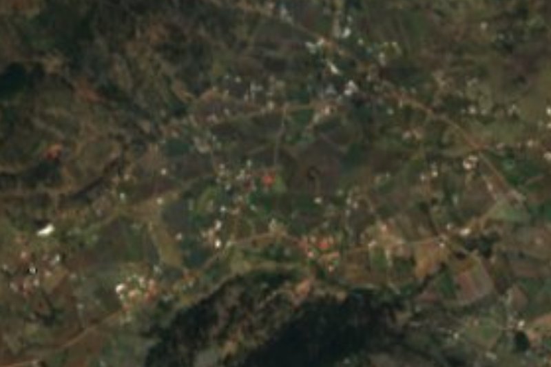
Near El Pedregal de San José


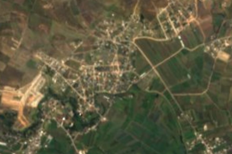




Drive times by road from OpenStreetMap, without traffic. Times marked ~ are estimated from the straight-line distance.
Location from OpenStreetMap. Written by Puebloteca.