Village Tenango de Doria, Hidalgo Sierra Norte de Puebla
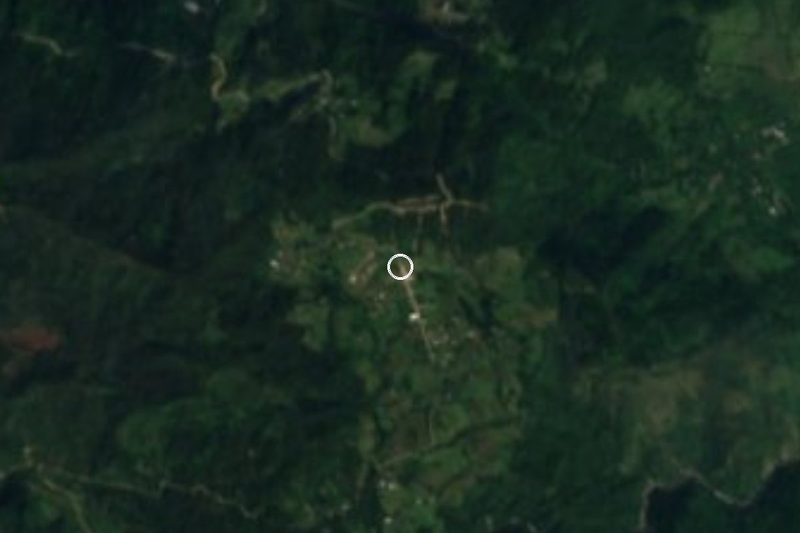
Colonia San José, next to Tenango de Doria (0.4 km), in the Sierra de Tenango at 1,606 m with nearly 1,800 mm of rain a year.
From Tulancingo: 1 h 35 min by car (53 km by road) How to get there ↓
Near here
See everything nearby ↓


Plan your visit to San José
Where to stay near San José
Compare hotels, posadas and guest houses in San José.
Tours to San José
Day trips and guided outings from Pahuatlán often include San José; with a local guide you can get there without a car.
How to get to San José
- From Tulancingo: about 1 h 35 min by road (~53 km)
- Nearest airport: Poza Rica (PAZ), 2 h 3 min by car to Pahuatlán
Links open a partner site. We may earn a commission if you book, at no cost to you.
About San José
San José, which INEGI lists as Colonia San José, sits at 1,606 metres in the Sierra de Tenango, so close to the municipal seat, Tenango de Doria, that only about 400 metres separate them. It is the sixth most populous settlement in the municipality, with 945 residents in 2020 (839 in 2010 and 715 in 2005) and 257 homes, nearly all with electricity and piped water.
The land belongs to the Sierra Madre Oriental and the Carso Huasteco and drains toward the Pantepec river sub-basin. The climate is temperate and very wet: about 15.7 °C on average, more than 1,800 mm of rain spread over most of the year, and a 4.7 cm snowfall recorded in January 2008. The closest hills are Cerro Brujo (2,236 m) and Cerro Iglesia Vieja (2,197 m), about 2.5 km south.
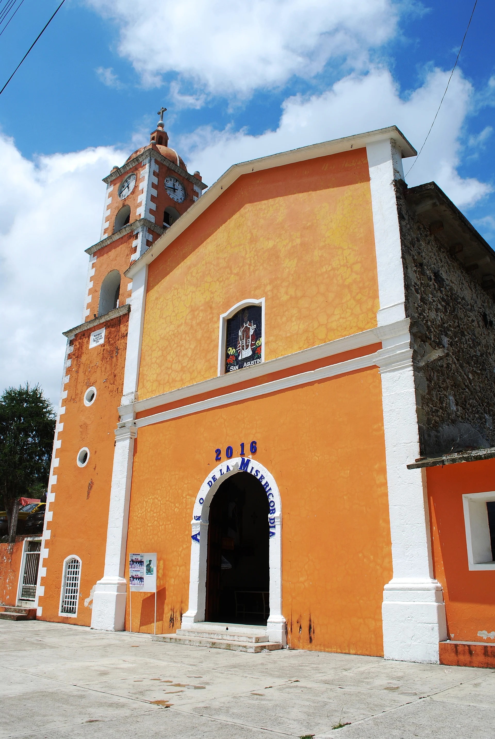
About a quarter of residents (24%) identify as Indigenous and 10.7% speak an Indigenous language; the municipality as a whole lives off maize, coffee, beans and apples. The name Tenango, "at the place of the walls" in Nahuatl, was completed with "de Doria" in honour of Juan Crisóstomo Doria, Hidalgo's first governor. In the municipal seat, some 400 metres away, stands the parish church of San Agustín, whose facade is documented on Wikimedia Commons.
How to get to San José
Drive from Tulancingo: 1 h 35 min, 53 km
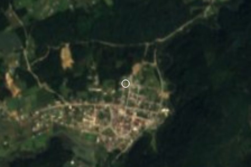
Colonia San José lies about 0.4 km from Tenango de Doria, the municipal seat, which has restaurants, shops and the nearest hotels: the Engrheri (1 km east) and the Acuario (1 km northeast), plus Hotel El Perico about 10 km off. From the Pueblo Mágico of Pahuatlán, in Puebla, it is about 15 km, around 15 minutes by car; Acaxochitlán is 42 km (29 minutes), Huauchinango 49 km (38 minutes) and Xicotepec 56 km (40 minutes). Tulancingo is about 31 km away in a straight line, approximate.
Directions to San José on Google Maps
Distances are in a straight line; the road is usually longer.
Links open a partner site. We may earn a commission if you book, at no cost to you.
From the nearest cities to San José
- Tulancingo · 53 km by road, 1 h 35 min
- Huauchinango · 75 km by road, 1 h 50 min
- Papantla · about 125 km by road, ~1 h 50 min
Drive times by road from OpenStreetMap, without traffic or stops. Times marked ~ are estimated from the straight-line distance.
Visiting San José: what to see and do
Parish church of San Agustín, in Tenango de Doria, about 0.4 km away
Cerro Brujo (2,236 m) and Cerro Iglesia Vieja (2,197 m), to the south
El Damo, a neighbouring community 1.4 km southeast
Pahuatlán, in Puebla, about 15 km away
Plan your trip
Places to stay in San José
Compare hotels, posadas, and rentals in and around San José.
Tours & activities
Day trips and guided outings from Pahuatlán often include San José; with a local guide you can get there without a car.
Rental cars
Pick up a car at PAZ (Poza Rica): about 2 h 3 min by road to Pahuatlán, then 10 km more to San José, on your own schedule.
Flights
The nearest airport with scheduled flights is Poza Rica (PAZ), about 2 h 3 min by road from Pahuatlán, the base for San José.
Mobile data
Signal can drop away from Pahuatlán: download a map of the way to San José before you set out, or carry an eSIM with data.
Links open a partner site. We may earn a commission if you book, at no cost to you.
When to go to San José mild
San José shares the climate of Pahuatlán, 10 km away. The best months to visit are January, February, March, and December.
See the month-by-month climate of Pahuatlán
Weather in San José now and the next 7 days
Live forecast from Open-Meteo. Chance of rain is the day's highest.
The closest Pueblo Mágico: Pahuatlán

Pahuatlán is the Pueblo Mágico closest to San José, with places to stay, food, and more to see.
Also close to
- Acaxochitlán · Hidalgo · 20 km away
- Huauchinango · Puebla · 26 km away
- Xicotepec · Puebla · 28 km away
- Huasca de Ocampo · Hidalgo · 41 km away
- Real del Monte · Hidalgo · 51 km away
Closest to San José
-
Tenango de Doria · Town · 1 km away
-
Chila de Juárez · Village · 7 km away
-
San Bartolo Tutotepec · Village · 7 km away
-
San Pablito · Town · 8 km away
-
Valle Verde · Village · 8 km away
-
Ahila · Viewpoint · 10 km away
-
Honey · Village · 11 km away
-
Tutotepec · Village · 11 km away
Near San José




Drive times by road from OpenStreetMap, without traffic. Times marked ~ are estimated from the straight-line distance.
Location from OpenStreetMap. Written by Puebloteca.