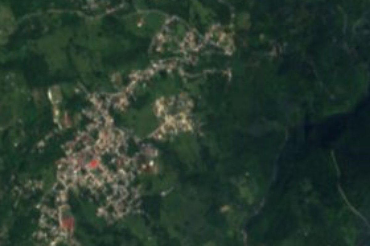
Village San Bartolo Tutotepec, Hidalgo Municipality of San Bartolo Tutotepec Sierra Norte de Puebla
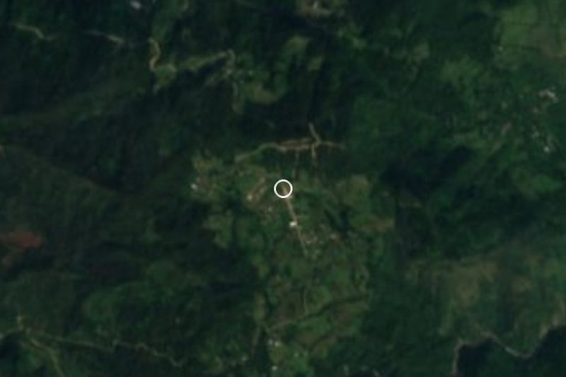
Sierra de Tenango village at 945 m in San Bartolo Tutotepec, which grew from 16 people in 1970 to 901 in 2020.
From Tulancingo: 1 h 50 min by car (61 km by road) How to get there ↓
Near here
See everything nearby ↓




Plan your visit to Valle Verde
Where to stay near Valle Verde
Compare hotels, posadas and guest houses in Valle Verde.
Tours to Valle Verde
Day trips and guided outings from Pahuatlán often include Valle Verde; with a local guide you can get there without a car.
How to get to Valle Verde
- From Tulancingo: about 1 h 50 min by road (~61 km)
- Nearest airport: Poza Rica (PAZ), 2 h 3 min by car to Pahuatlán
Links open a partner site. We may earn a commission if you book, at no cost to you.
About Valle Verde
Few Hidalgo villages have a population curve like Valle Verde's. The censuses record 47 people in 1910, just 16 in 1970 and 52 in 1980; then came the jump: 313 in 1995, 668 in 2005 and 901 in 2020. It is now 5.09% of the population of San Bartolo Tutotepec municipality.
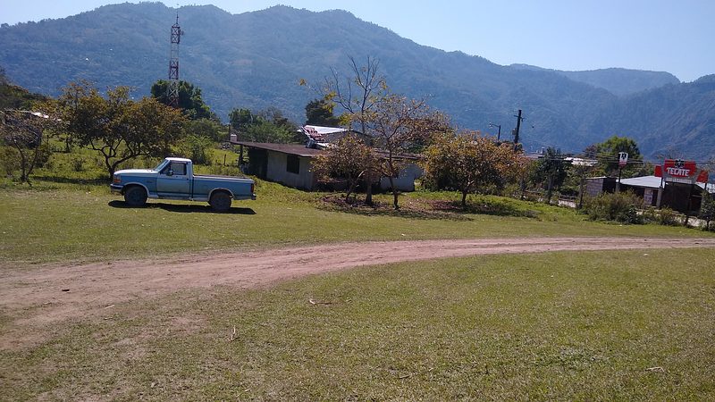
The village lies in the Sierra de Tenango, at 945 metres, close to the elevation of the municipal seat, San Bartolo Tutotepec, at 1,016 metres. It is mountain terrain of the Sierra Madre Oriental, in the Carso Huasteco subprovince, with a semi-warm humid climate and rain all year.
Its waters belong to the Tuxpan-Nautla region: the Tuxpan river basin and the Pantepec sub-basin.
Search for it together with its municipality: this is the Valle Verde of San Bartolo Tutotepec, in Hidalgo, not another locality of the same name. Its 901 residents in 2020 are nearly seventeen times the 52 of 1980 and more than fifty times the 16 of 1970.
How to get to Valle Verde
Drive from Tulancingo: 1 h 50 min, 61 km
Valle Verde is in the Sierra de Tenango, about 39 km in a straight line from Tulancingo (roughly 45 minutes per the brief's estimate, but on mountain roads the real trip will be considerably longer) and about 14 km from Pahuatlán, in Puebla, also in a straight line.
The sensible base is the municipal seat, San Bartolo Tutotepec; ask there about shared vans or taxis to the village. Bring cash and rain gear, since rain falls all year.
Directions to Valle Verde on Google Maps
Distances are in a straight line; the road is usually longer.
Links open a partner site. We may earn a commission if you book, at no cost to you.
From the nearest cities to Valle Verde
- Tulancingo · 61 km by road, 1 h 50 min
- Huauchinango · 95 km by road, 2 h 10 min
- Poza Rica · 140 km by road, 2 h 25 min
Drive times by road from OpenStreetMap, without traffic or stops. Times marked ~ are estimated from the straight-line distance.
Visiting Valle Verde: what to see and do
The Sierra de Tenango, with its semi-warm humid climate
The landscape of the Pantepec sub-basin
San Bartolo Tutotepec, the municipal seat at 1,016 m
Plan your trip
Places to stay in Valle Verde
Compare hotels, posadas, and rentals in and around Valle Verde.
Tours & activities
Day trips and guided outings from Pahuatlán often include Valle Verde; with a local guide you can get there without a car.
Rental cars
Pick up a car at PAZ (Poza Rica): about 2 h 3 min by road to Pahuatlán, then 14 km more to Valle Verde, on your own schedule.
Flights
The nearest airport with scheduled flights is Poza Rica (PAZ), about 2 h 3 min by road from Pahuatlán, the base for Valle Verde.
Mobile data
Signal can drop away from Pahuatlán: download a map of the way to Valle Verde before you set out, or carry an eSIM with data.
Links open a partner site. We may earn a commission if you book, at no cost to you.
When to go to Valle Verde mild
Valle Verde shares the climate of Pahuatlán, 14 km away. The best months to visit are January, February, March, and December.
See the month-by-month climate of Pahuatlán
Weather in Valle Verde now and the next 7 days
Live forecast from Open-Meteo. Chance of rain is the day's highest.
The closest Pueblo Mágico: Pahuatlán

Pahuatlán is the Pueblo Mágico closest to Valle Verde, with places to stay, food, and more to see.
Also close to
- Xicotepec · Puebla · 26 km away
- Acaxochitlán · Hidalgo · 27 km away
- Huauchinango · Puebla · 29 km away
- Huasca de Ocampo · Hidalgo · 47 km away
- Zacatlán · Puebla · 58 km away
Closest to Valle Verde
-
San Bartolo Tutotepec · Village · 1 km away
-
San José · Village · 8 km away
-
Tenango de Doria · Town · 8 km away
-
Tutotepec · Village · 9 km away
-
San Pablito · Town · 12 km away
-
Chila de Juárez · Village · 14 km away
-
Huehuetla · Village · 14 km away
-
Ahila · Viewpoint · 15 km away
Near Valle Verde


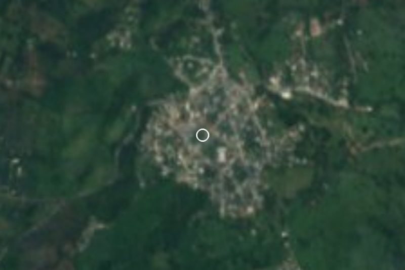
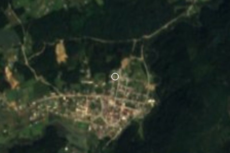
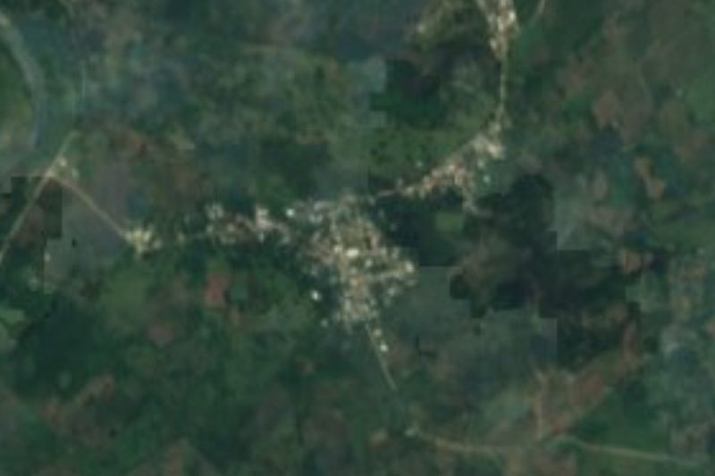


Drive times by road from OpenStreetMap, without traffic. Times marked ~ are estimated from the straight-line distance.
Location from OpenStreetMap. Written by Puebloteca.