Village San Bartolo Tutotepec, Hidalgo Municipality of San Bartolo Tutotepec
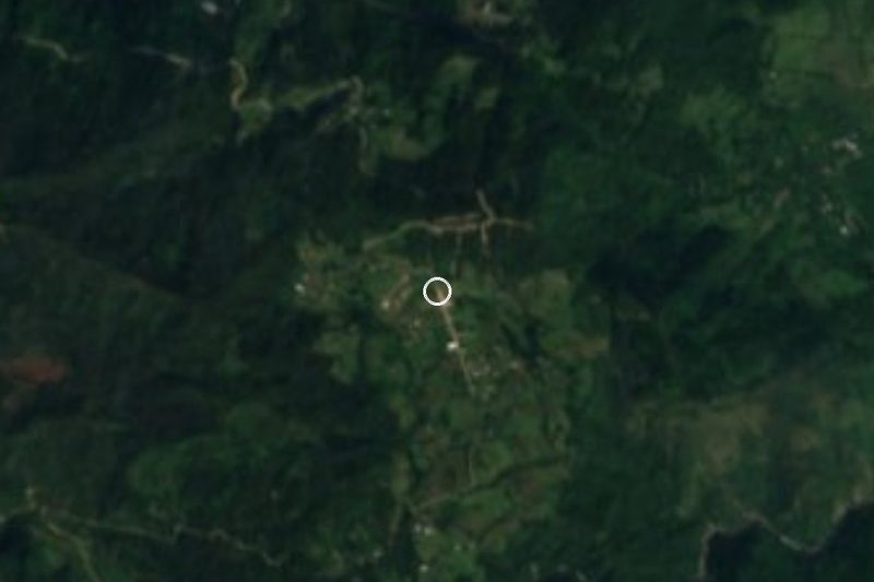
A hill village at 1,994 m in the Sierra de Tenango with the Augustinian convent of Santa María Magdalena and its Santa Campana bell.
From Tulancingo: 1 h 30 min by car (51 km by road) How to get there ↓
Near here
See everything nearby ↓



Plan your visit to Tutotepec
Where to stay near Tutotepec
Compare hotels, posadas and guest houses in Tutotepec.
Tours to Tutotepec
Day trips and guided outings from Pahuatlán often include Tutotepec; with a local guide you can get there without a car.
How to get to Tutotepec
- From Tulancingo: about 1 h 30 min by road (~51 km)
- Nearest airport: Poza Rica (PAZ), 2 h 3 min by car to Pahuatlán
Links open a partner site. We may earn a commission if you book, at no cost to you.
About Tutotepec
Tutotepec is not the seat of San Bartolo Tutotepec, though it belongs to that municipality: the seat lies about 8 km away and far lower (1,016 m, 2,764 people), while this village stands at 1,994 metres and had 164 residents in 55 homes in 2020. The name is Nahuatl, toto-tepec, "place of birds". The Señorío de Tutotepec was settled up here, with a view over the whole region.
Its monument is the convent of Santa María Magdalena, regarded as the oldest monastery in the Otomí-Tepehua region. The Augustinians founded it under the jurisdiction of the convent at Atotonilco el Grande, with Fray Alonso de Borja as commissioner. The first church was dedicated to the Santos Reyes and later changed its dedication; it was finished in 1620 and several fires have swept through it. The present church has a single nave with a polygonal apse, a carved-stone portal with two pairs of fluted columns and a one-storey bell tower. The cloister arcade was partly destroyed when the priest's house was built against it, and the churchyard is still used as a cemetery. The area saw an Otomí uprising between 1766 and 1769.
The most singular thing is its bells, which are dressed in clothing and held to be miraculous. Every two years, or whenever funds allow, the Santa Campana ritual takes place in May: men clean the bell and change its clothes, traditional Otomí garments made by the women; people leave offerings (kitchen utensils, toys), and food is buried in clay pots to "feed the earth". It blends pre-Hispanic and Catholic elements.
How to get to Tutotepec
Drive from Tulancingo: 1 h 30 min, 51 km
Tutotepec lies in the Sierra de Tenango, about 8 km (8.2 according to Wikipedia) from the municipal seat San Bartolo Tutotepec. The village sits nearly a thousand metres above the seat, so the last stretch climbs; the practical move is to take San Bartolo Tutotepec as your base and ask there about the road and transport up to the convent.
In a straight line Pahuatlán (Puebla) is about 21 km away and Tulancingo about 39 km (at least about 25 and 45 minutes; by road it will be more). For the Santa Campana ritual, held in May every two years or when funds allow, find out the date beforehand from people in the community.
Directions to Tutotepec on Google Maps
Distances are in a straight line; the road is usually longer.
Links open a partner site. We may earn a commission if you book, at no cost to you.
From the nearest cities to Tutotepec
- Tulancingo · 51 km by road, 1 h 30 min
- Huauchinango · 76 km by road, 1 h 55 min
- Papantla · about 130 km by road, ~1 h 55 min
Drive times by road from OpenStreetMap, without traffic or stops. Times marked ~ are estimated from the straight-line distance.
Before you go to Tutotepec: hours, prices and tips
- Best season
- The Santa Campana ritual, with the changing of the bell's clothing, is held in May, every two years or whenever there are resources for it. Criterio Hidalgo · checked Oct 2026
Hours and prices change, especially around holidays. Each fact links to where we checked it.
Visiting Tutotepec: what to see and do
Convent and church of Santa María Magdalena, with its carved-stone portal
The bells of the bell tower, dressed in clothing and held to be miraculous
The churchyard cemetery in front of the church
The view over the sierra from the heights that gave the Señorío de Tutotepec its site
The Santa Campana ritual, in May every two years
Plan your trip
Places to stay in Tutotepec
Compare hotels, posadas, and rentals in and around Tutotepec.
Tours & activities
Day trips and guided outings from Pahuatlán often include Tutotepec; with a local guide you can get there without a car.
Rental cars
Pick up a car at PAZ (Poza Rica): about 2 h 3 min by road to Pahuatlán, then 21 km more to Tutotepec, on your own schedule.
Flights
The nearest airport with scheduled flights is Poza Rica (PAZ), about 2 h 3 min by road from Pahuatlán, the base for Tutotepec.
Mobile data
Signal can drop away from Pahuatlán: download a map of the way to Tutotepec before you set out, or carry an eSIM with data.
Links open a partner site. We may earn a commission if you book, at no cost to you.
When to go to Tutotepec mild
Tutotepec shares the climate of Pahuatlán, 21 km away. The best months to visit are January, February, March, and December.
See the month-by-month climate of Pahuatlán
Weather in Tutotepec now and the next 7 days
Live forecast from Open-Meteo. Chance of rain is the day's highest.
The closest Pueblo Mágico: Pahuatlán

Pahuatlán is the Pueblo Mágico closest to Tutotepec, with places to stay, food, and more to see.
Also close to
- Acaxochitlán · Hidalgo · 31 km away
- Xicotepec · Puebla · 35 km away
- Huauchinango · Puebla · 36 km away
- Huasca de Ocampo · Hidalgo · 41 km away
- Real del Monte · Hidalgo · 52 km away
Closest to Tutotepec
-
San Bartolo Tutotepec · Village · 8 km away
-
Valle Verde · Village · 9 km away
-
San José · Village · 11 km away
-
Tenango de Doria · Town · 11 km away
-
Agua Blanca de Iturbide · Town · 12 km away
-
Chila de Juárez · Village · 18 km away
-
San Pablito · Town · 18 km away
-
Ahila · Viewpoint · 21 km away

Near Tutotepec






Drive times by road from OpenStreetMap, without traffic. Times marked ~ are estimated from the straight-line distance.
Location from OpenStreetMap. Written by Puebloteca.