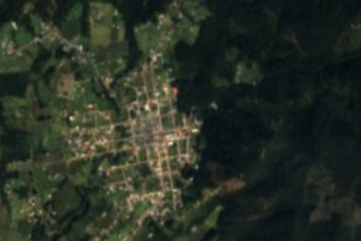
Town Agua Blanca de Iturbide, Hidalgo
Municipal seat in the Tenango sierra at 2,188 m; fair from 3 to 6 May with aguardiente and curados.
From Tulancingo: 45 min by car (36 km by road) How to get there ↓
Near here
See everything nearby ↓


Plan your visit to Agua Blanca de Iturbide
Where to stay near Agua Blanca de Iturbide
Compare hotels, posadas and guest houses in Agua Blanca de Iturbide.
Tours to Agua Blanca de Iturbide
Day trips around Pahuatlán sometimes stop in Agua Blanca de Iturbide; a tour is the easy way to see it without a car.
 Tours from Zacatlan
Zacatlán Guided Tour walking through the Center
★ 5.0 (2) · From US$8
How to get to Agua Blanca de Iturbide
- From Tulancingo: about 45 min by road (~36 km)
- Nearest airport: Poza Rica (PAZ), 2 h 3 min by car to Pahuatlán
Links open a partner site. We may earn a commission if you book, at no cost to you.
Tours from Zacatlan, near Agua Blanca de Iturbide
Tours, prices and ratings from Viator, checked weekly. We may earn a commission if you book.
About Agua Blanca de Iturbide
Agua Blanca de Iturbide is the seat of a 120 km² municipality in the Sierra de Tenango, in eastern Hidalgo. It stands at 2,188 metres on a plateau between the Trans-Mexican Volcanic Belt and the Sierra Madre Oriental, with a temperate climate averaging about 13 °C. It has 2,325 residents, 22.5% of the municipality.
The name is explained by the many springs in the area; it is also said that near the spring in the upper part of town there was a well of whitish water. Iturbide honours the Franciscan friar Juan de Iturbide. Before 1804 the place was known as La Trementina, for the dense forest around it. In 1869 it belonged to the municipality of Tutotepec, the municipality was created in 1874 and in 1888 the seat moved from San Pedrito to the present Agua Blanca.
The parish church of the Inmaculada Concepción is single-naved masonry, with a gabled clay-tile roof and a plank floor; it was finished on 1 January 1890. Its feast day is 8 December, the Purísima, which draws pilgrimages from the municipality's communities.
The annual fair runs from 3 to 6 May, a date chosen because Mexican and French troops passed through on the way to the Battle of Puebla; it includes a craft expo of aguardiente and curados, and a food showcase. Carnival lasts four days, with dances and the raising of masks, and the traditional descabezada: six live chickens hung up for adult capas to pull on, to pick the future captains who will feed the whole comparsa.
How to get to Agua Blanca de Iturbide
Drive from Tulancingo: 45 min, 36 km
Agua Blanca de Iturbide is about 91 km from Pachuca and about 163 km from Mexico City, according to Wikipedia, and about 30 km from Tulancingo in a straight line (roughly 35 minutes); Pahuatlán, the nearest Pueblo Mágico across the line in Puebla, is about 23 km away. The logical route goes through Tulancingo, about 40 km from Pachuca and about 119 km from Mexico City by autopista 132 (Wikipedia also gives 105 km). Tulancingo's bus station has Estrella Blanca and Expreso Futura services; Pachuca's station runs to Tulancingo. The last stretch is through the sierra. Ask in Tulancingo about transport toward the Tenango sierra and check the state of the road before leaving, especially in the rains.
Directions to Agua Blanca de Iturbide on Google Maps
Distances are in a straight line; the road is usually longer.
Links open a partner site. We may earn a commission if you book, at no cost to you.
From the nearest cities to Agua Blanca de Iturbide
- Tulancingo · 36 km by road, 45 min
- Huauchinango · 61 km by road, 1 h 10 min
- Pachuca · 82 km by road, 1 h 30 min
Drive times by road from OpenStreetMap, without traffic or stops. Times marked ~ are estimated from the straight-line distance.
Before you go to Agua Blanca de Iturbide: hours, prices and tips
- Best season
- Annual fair from 3 to 6 May; the Purísima on 8 December; and a four-day carnival. Wikipedia · checked Oct 2026
Hours and prices change, especially around holidays. Each fact links to where we checked it.
Visiting Agua Blanca de Iturbide: what to see and do
The parish church of the Inmaculada Concepción, finished in 1890
The fair from 3 to 6 May, with aguardiente, curados and local food
The four-day carnival and the descabezada
The Purísima on 8 December, with pilgrimages from the communities
The spring in the upper part of town
The weekly tianguis
Plan your trip
Places to stay in Agua Blanca de Iturbide
Compare hotels, posadas, and rentals in and around Agua Blanca de Iturbide.
Tours & activities
Day trips around Pahuatlán sometimes stop in Agua Blanca de Iturbide; a tour is the easy way to see it without a car.
Rental cars
Pick up a car at PAZ (Poza Rica): about 2 h 3 min by road to Pahuatlán, then 23 km more to Agua Blanca de Iturbide, on your own schedule.
Flights
The nearest airport with scheduled flights is Poza Rica (PAZ), about 2 h 3 min by road from Pahuatlán, the base for Agua Blanca de Iturbide.
Mobile data
Signal can drop away from Pahuatlán: download a map of the way to Agua Blanca de Iturbide before you set out, or carry an eSIM with data.
Links open a partner site. We may earn a commission if you book, at no cost to you.
When to go to Agua Blanca de Iturbide mild
Agua Blanca de Iturbide shares the climate of Pahuatlán, 23 km away. The best months to visit are January, February, March, and December.
See the month-by-month climate of Pahuatlán
Weather in Agua Blanca de Iturbide now and the next 7 days
Live forecast from Open-Meteo. Chance of rain is the day's highest.
The closest Pueblo Mágico: Pahuatlán

Pahuatlán is the Pueblo Mágico closest to Agua Blanca de Iturbide, with places to stay, food, and more to see.
Also close to
- Acaxochitlán · Hidalgo · 27 km away
- Huasca de Ocampo · Hidalgo · 30 km away
- Huauchinango · Puebla · 37 km away
- Real del Monte · Hidalgo · 41 km away
- Xicotepec · Puebla · 41 km away
Closest to Agua Blanca de Iturbide
-
Tutotepec · Village · 12 km away
-
San José · Village · 13 km away
-
Tenango de Doria · Town · 14 km away
-
Chila de Juárez · Village · 17 km away
-
San Bartolo Tutotepec · Village · 17 km away
-
Valle Verde · Village · 18 km away
-
Honey · Village · 19 km away
-
Ahila · Viewpoint · 21 km away
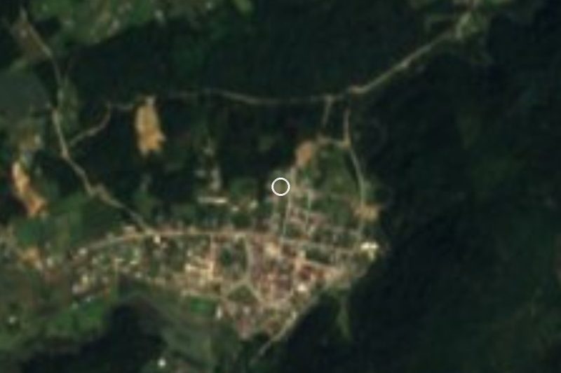
Near Agua Blanca de Iturbide




Drive times by road from OpenStreetMap, without traffic. Times marked ~ are estimated from the straight-line distance.
Location from OpenStreetMap. Written by Puebloteca.