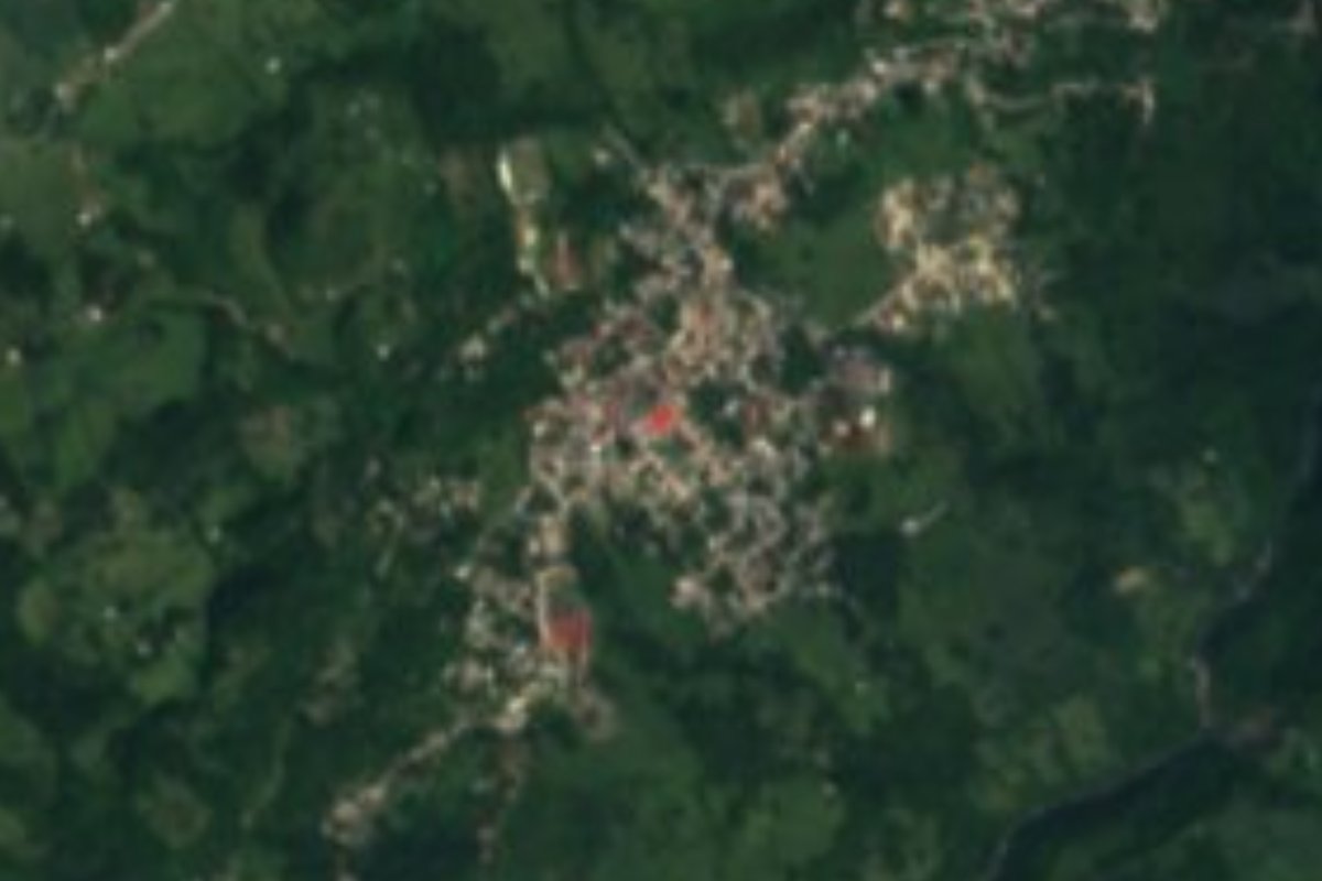
Village San Bartolo Tutotepec, Hidalgo Municipality of San Bartolo Tutotepec Sierra Norte de Puebla
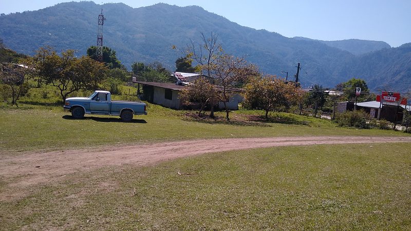
Municipal seat in the Sierra de Tenango at 1,016 m, known for an Otomí carnival with 13 captains and the Señor de Chalma festivity.
From Tulancingo: 1 h 50 min by car (61 km by road) How to get there ↓
Near here
See everything nearby ↓




Plan your visit to San Bartolo Tutotepec
Where to stay near San Bartolo Tutotepec
Compare hotels, posadas and guest houses in San Bartolo Tutotepec.
Tours to San Bartolo Tutotepec
Day trips and guided outings from Pahuatlán often include San Bartolo Tutotepec; with a local guide you can get there without a car.
How to get to San Bartolo Tutotepec
- From Tulancingo: about 1 h 50 min by road (~61 km)
- Nearest airport: Poza Rica (PAZ), 2 h 3 min by car to Pahuatlán
Links open a partner site. We may earn a commission if you book, at no cost to you.
About San Bartolo Tutotepec
The name Tutotepec comes from Nahuatl and means roughly hill of the birds. The seat, San Bartolo Tutotepec, stands at 1,016 metres in the Sierra de Tenango in eastern Hidalgo, on sierra terrain in the Sierra Madre Oriental province (Huasteca karst). The climate is semi-warm and humid with rain all year; across the municipality the mean annual temperature is 19 °C and rainfall around 2,600 mm, heaviest from June to October. Water drains to the Tuxpan River basin through the Pantepec sub-basin.
In 2020 the town had 2,764 inhabitants, nearly 16% of a municipality of 17,699. It was a village of 690 people in 1900 and passed 2,000 around the year 2000. About 30% of municipal residents speak an indigenous language, mainly Sierra Otomí, Mezquital Valley Otomí and, to a lesser degree, Tepehua. Farming runs on maize, beans and, for income above all, coffee, with some 2,730 hectares planted.
What sets the place apart is its carnival. In 2025 it ran from 28 February to 13 March; on Monday 3 March, the key day, the descent to the centre of San Bartolo drew some 2,500 people from several municipalities, among them Tenango de Doria and Huehuetla. Thirteen captains, each from a different place, take part, and the first captain leads the festivity and, with his followers, looks after the image of the Señor de Chalma, the community's patron. Costumes include comanches, viejos, damas, the Malinche and costaludos.
How to get to San Bartolo Tutotepec
Drive from Tulancingo: 1 h 50 min, 61 km
San Bartolo Tutotepec is the seat of the municipality of the same name, in the Sierra de Tenango in eastern Hidalgo. The municipality borders Veracruz and Huehuetla to the north, and also Tenango de Doria, Metepec and Agua Blanca de Iturbide. From Tulancingo it is about 39 km in a straight line (around 45 minutes, estimated); Pahuatlán, in Puebla, is some 14 km away as the crow flies. On carnival days many people arrive from other municipalities, so set out early.
Directions to San Bartolo Tutotepec on Google Maps
Distances are in a straight line; the road is usually longer.
Links open a partner site. We may earn a commission if you book, at no cost to you.
From the nearest cities to San Bartolo Tutotepec
- Tulancingo · 61 km by road, 1 h 50 min
- Huauchinango · 94 km by road, 2 h 5 min
- Poza Rica · 139 km by road, 2 h 20 min
Drive times by road from OpenStreetMap, without traffic or stops. Times marked ~ are estimated from the straight-line distance.
Before you go to San Bartolo Tutotepec: hours, prices and tips
- Best season
- Carnival: in 2025 from 28 February to 13 March, with the descent to the town centre on Monday 3 March; 13 captains take part. Criterio Hidalgo · checked Oct 2026
Hours and prices change, especially around holidays. Each fact links to where we checked it.
Visiting San Bartolo Tutotepec: what to see and do
San Bartolo Tutotepec carnival, late February to mid-March, with the descent on the first Monday of March
Image of the Señor de Chalma, the community's patron
Costumes of comanches, viejos, damas, Malinche and costaludos
Coffee groves and milpas of the Sierra de Tenango
Plan your trip
Places to stay in San Bartolo Tutotepec
Compare hotels, posadas, and rentals in and around San Bartolo Tutotepec.
Tours & activities
Day trips and guided outings from Pahuatlán often include San Bartolo Tutotepec; with a local guide you can get there without a car.
Rental cars
Pick up a car at PAZ (Poza Rica): about 2 h 3 min by road to Pahuatlán, then 14 km more to San Bartolo Tutotepec, on your own schedule.
Flights
The nearest airport with scheduled flights is Poza Rica (PAZ), about 2 h 3 min by road from Pahuatlán, the base for San Bartolo Tutotepec.
Mobile data
Signal can drop away from Pahuatlán: download a map of the way to San Bartolo Tutotepec before you set out, or carry an eSIM with data.
Links open a partner site. We may earn a commission if you book, at no cost to you.
When to go to San Bartolo Tutotepec mild
San Bartolo Tutotepec shares the climate of Pahuatlán, 14 km away. The best months to visit are January, February, March, and December.
See the month-by-month climate of Pahuatlán
Weather in San Bartolo Tutotepec now and the next 7 days
Live forecast from Open-Meteo. Chance of rain is the day's highest.
The closest Pueblo Mágico: Pahuatlán

Pahuatlán is the Pueblo Mágico closest to San Bartolo Tutotepec, with places to stay, food, and more to see.
Also close to
- Xicotepec · Puebla · 27 km away
- Acaxochitlán · Hidalgo · 27 km away
- Huauchinango · Puebla · 29 km away
- Huasca de Ocampo · Hidalgo · 46 km away
- Real del Monte · Hidalgo · 57 km away
Closest to San Bartolo Tutotepec
-
Valle Verde · Village · 1 km away
-
San José · Village · 7 km away
-
Tenango de Doria · Town · 7 km away
-
Tutotepec · Village · 8 km away
-
San Pablito · Town · 12 km away
-
Chila de Juárez · Village · 13 km away
-
Ahila · Viewpoint · 15 km away
-
Huehuetla · Village · 15 km away
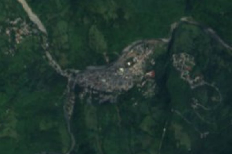
Near San Bartolo Tutotepec


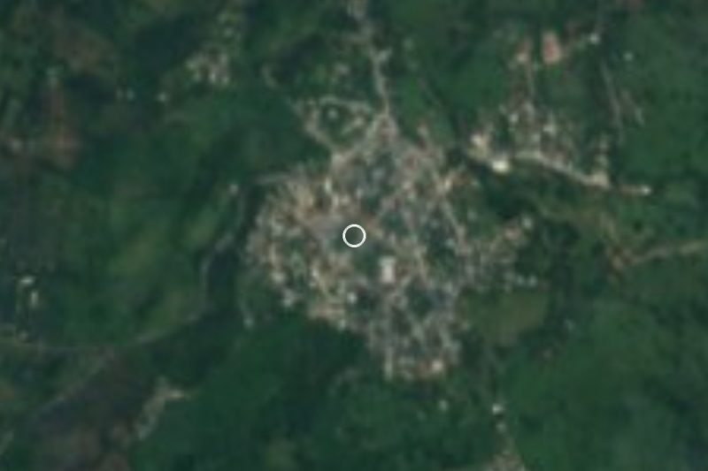
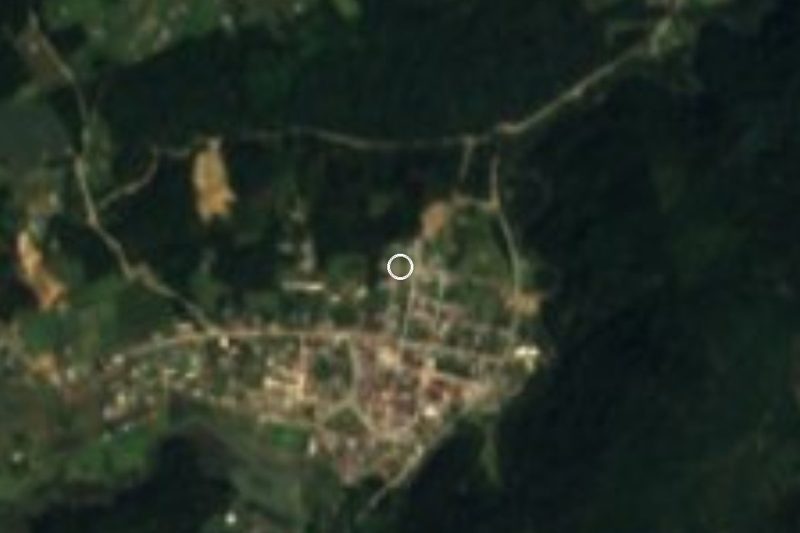


Drive times by road from OpenStreetMap, without traffic. Times marked ~ are estimated from the straight-line distance.
Location from OpenStreetMap. Written by Puebloteca.