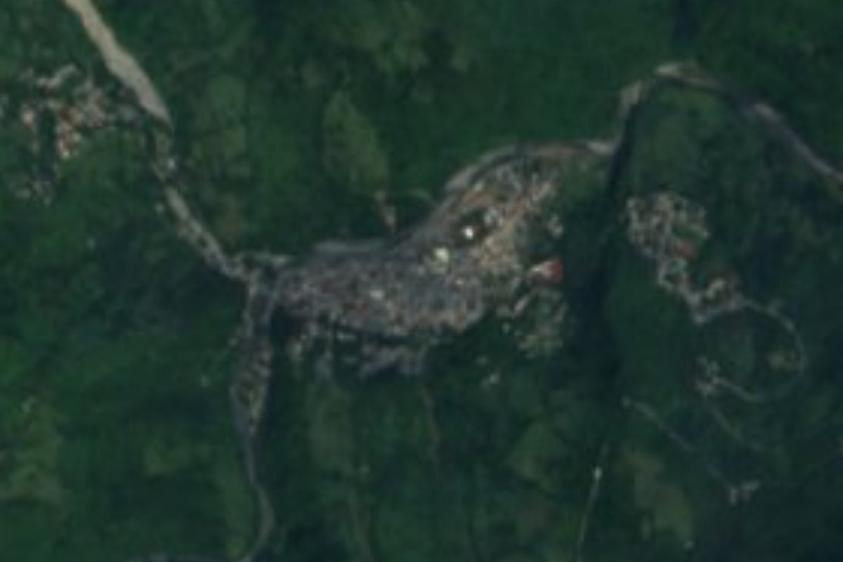
Village Huehuetla, Hidalgo
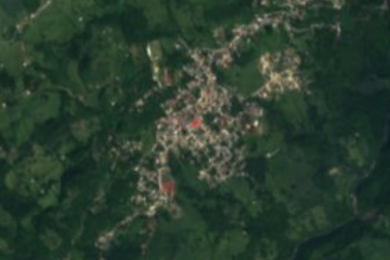
Municipal seat in the Tenango sierra at 424 m on the Pantepec river, with Tepehua and Otomí communities.
From Huauchinango: 1 h 40 min by car (97 km by road) How to get there ↓
Near here
See everything nearby ↓


Plan your visit to Huehuetla
Where to stay near Huehuetla
Compare hotels, posadas and guest houses in Huehuetla.
Tours to Huehuetla
Day trips and guided outings from Xicotepec often include Huehuetla; with a local guide you can get there without a car.
How to get to Huehuetla
- From Huauchinango: about 1 h 40 min by road (~97 km)
- Nearest airport: Poza Rica (PAZ), 2 h 7 min by car to Xicotepec
Links open a partner site. We may earn a commission if you book, at no cost to you.
About Huehuetla
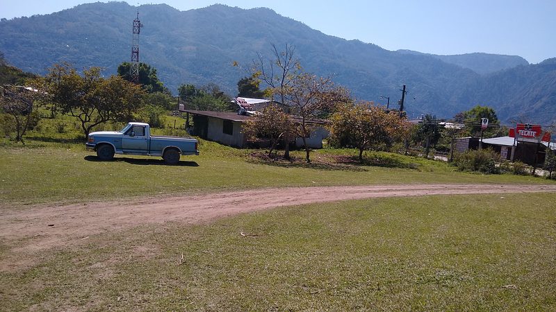
Huehuetla stands at 424 metres in the Sierra de Tenango and is the seat of a 214 km² municipality that borders Veracruz and Puebla. The Huehuetla or Pantepec river runs through town and flows into the Tuxpanicatlán. The climate is semi-warm and humid, averaging 21 °C with 2,422 mm of rain a year. Not to be confused with Huehuetla, Puebla, in a different sierra.
The name comes from Nahuatl weweh, old, and -tlan, place of abundance: place of elders. In pre-Hispanic times the area answered to the Señorío de Tutotepec; the Spanish took it around 1521 and the town is believed to have been founded in 1640. Decree no. 21 of 26 April 1827 granted it a town council, and in 1891 it moved from the Tulancingo district to that of Tenango de Doria.
The seat has 2,993 residents, 13% of the municipality, and 954 of them speak an Indigenous language: mostly Tepehua, in the variety known as Huehuetla Tepehua, and to a lesser extent Otomí. Huehuetla is one of the three main Tepehua centres, with Pisa Flores in Hidalgo and Tlachichilco in Veracruz. Families grow maize, beans and chile, as well as coffee and sugar cane; the municipality supplies a large share of Hidalgo's coffee. In 2005 about 80 women in Huehuetla still wore traditional dress: a white blouse with machine embroidery, a white pleated skirt about 4 metres wide and a gauze quechquemitl.
The municipality's most important tianguis is Huehuetla's, held on Sundays.
How to get to Huehuetla
Drive from Huauchinango: 1 h 40 min, 97 km
Huehuetla is about 52 km from Tulancingo in a straight line (roughly 1 hour by car) and about 21 km from Pahuatlán, Puebla (roughly 25 minutes). Tulancingo is the starting city: it lies about 40 km from Pachuca, and its bus station has Estrella Blanca and Expreso Futura services; from Pachuca, the Terminal Central de Autobuses has departures to Tulancingo. The municipality belongs to the Tenango operating region, so Tenango de Doria is the next reference point in the sierra. The last stretch is through the sierra. Ask in Tulancingo about transport up to the Tenango sierra and the state of the road.
Directions to Huehuetla on Google Maps
Distances are in a straight line; the road is usually longer.
Links open a partner site. We may earn a commission if you book, at no cost to you.
From the nearest cities to Huehuetla
- Huauchinango · 97 km by road, 1 h 40 min
- Poza Rica · 112 km by road, 1 h 50 min
- Tulancingo · 100 km by road, 2 h 5 min
Drive times by road from OpenStreetMap, without traffic or stops. Times marked ~ are estimated from the straight-line distance.
Before you go to Huehuetla: hours, prices and tips
- Best season
- Huehuetla's tianguis is on Sundays; San Lorenzo's is on Fridays. Wikipedia · checked Oct 2026
Hours and prices change, especially around holidays. Each fact links to where we checked it.
Visiting Huehuetla: what to see and do
The Sunday tianguis in Huehuetla
The Pantepec (or Huehuetla) river, which crosses the seat
Tepehua dress: embroidered white blouse and gauze quechquemitl
The coffee-growing slopes of the sierra around town
Plan your trip
Places to stay in Huehuetla
Compare hotels, posadas, and rentals in and around Huehuetla.
Tours & activities
Day trips and guided outings from Xicotepec often include Huehuetla; with a local guide you can get there without a car.
Rental cars
Pick up a car at PAZ (Poza Rica): about 2 h 7 min by road to Xicotepec, then 21 km more to Huehuetla, on your own schedule.
Flights
The nearest airport with scheduled flights is Poza Rica (PAZ), about 2 h 7 min by road from Xicotepec, the base for Huehuetla.
Mobile data
Signal can drop away from Xicotepec: download a map of the way to Huehuetla before you set out, or carry an eSIM with data.
Links open a partner site. We may earn a commission if you book, at no cost to you.
When to go to Huehuetla mild
Huehuetla shares the climate of Xicotepec, 21 km away. The best months to visit are January, February, March, and December.
See the month-by-month climate of Xicotepec
Weather in Huehuetla now and the next 7 days
Live forecast from Open-Meteo. Chance of rain is the day's highest.
The closest Pueblo Mágico: Xicotepec

Xicotepec is the Pueblo Mágico closest to Huehuetla, with places to stay, food, and more to see.
Also close to
- Pahuatlán · Puebla · 21 km away
- Huauchinango · Puebla · 32 km away
- Acaxochitlán · Hidalgo · 36 km away
- Zacatlán · Puebla · 60 km away
- Huasca de Ocampo · Hidalgo · 61 km away
Closest to Huehuetla
-
Tlaxco · Village · 6 km away
-
La Lagunilla · Village · 11 km away
-
Valle Verde · Village · 14 km away
-
San Bartolo Tutotepec · Village · 15 km away
-
Tlacuilotepec · Village · 15 km away
-
San Pablito · Town · 20 km away
-
San José · Village · 21 km away
-
Tenango de Doria · Town · 21 km away


Near Huehuetla






Drive times by road from OpenStreetMap, without traffic. Times marked ~ are estimated from the straight-line distance.
Location from OpenStreetMap. Written by Puebloteca.