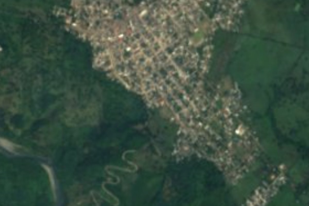
Town Venustiano Carranza, Puebla Sierra Norte de Puebla
Venustiano Carranza's largest town, born in the 1950s as the 'La Uno' oil pumping station and granted city status in 2016.
From Poza Rica: 35 min by car (36 km by road) How to get there ↓
Near here
See everything nearby ↓



Plan your visit to Ciudad de Lázaro Cárdenas
Where to stay near Ciudad de Lázaro Cárdenas
Compare hotels, posadas and guest houses in Ciudad de Lázaro Cárdenas.
Tours to Ciudad de Lázaro Cárdenas
Day trips around Xicotepec sometimes stop in Ciudad de Lázaro Cárdenas; a tour is the easy way to see it without a car.
How to get to Ciudad de Lázaro Cárdenas
- From Poza Rica: about 35 min by road (~36 km)
- Nearest airport: Poza Rica (PAZ), 2 h 7 min by car to Xicotepec
Links open a partner site. We may earn a commission if you book, at no cost to you.
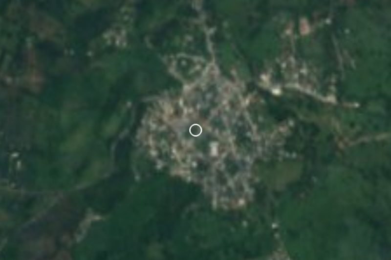
About Ciudad de Lázaro Cárdenas
Plenty of people in the area still call it 'La Uno'. The nickname goes back to the 1950s, when the region's first hydrocarbon pumping station, known as Estación La Uno, was built here and a settlement grew up around it. On 29 October 1971 it was renamed Villa Lázaro Cárdenas, after the president who nationalised Mexico's oil, and on 11 February 2016 it was raised to the rank of city.
It lies in the north of Puebla state, where the mountains fall away toward the Gulf coast, at around 355 m and close to the Veracruz line; Poza Rica is about half an hour's drive. The climate is hot and humid. Growth has been quick: 708 people in 1960, 5,022 in 1980 and 13,344 at the 2020 census, which makes it the biggest community in Venustiano Carranza municipality, larger than the municipal seat itself. The federal encyclopedia of municipalities lists trade as its main activity.
The oil connection is celebrated every 18 March at the Fiesta del Petróleo, held since 2011 to mark the 1938 expropriation, with a parade of schools from across the region, sports, cultural events and concerts. A monument to General Lázaro Cárdenas del Río went up in town in 2013. The San Marcos river, one of the two rivers that cut through the lowest parts of the municipality, can be seen from town. The municipal patron fiesta, for the Virgin of Guadalupe on 12 December, with jaripeo, dances and a fair, is held in the seat, Agua Fría, about 10 km away.
How to get to Ciudad de Lázaro Cárdenas
Drive from Poza Rica: 35 min, 36 km
The town sits on federal highway 130 (Pachuca–Túxpam), the main road of the area. From Poza Rica, Veracruz, leave by Boulevard Lázaro Cárdenas and take highway 130 southwest toward Xicotepec: about 35 km and 35 minutes. From the Pueblo Mágico of Xicotepec, follow the same highway 130 the other way, toward Poza Rica, for about 50 km (around 50 minutes). The municipal seat, Venustiano Carranza, is about 10 km to the north (roughly 12 minutes) along highway 130 and a local road. The federal encyclopedia of municipalities puts the seat about 193 km by road from Puebla city.
Directions to Ciudad de Lázaro Cárdenas on Google Maps
Distances are in a straight line; the road is usually longer.
Links open a partner site. We may earn a commission if you book, at no cost to you.
From the nearest cities to Ciudad de Lázaro Cárdenas
- Poza Rica · 36 km by road, 35 min
- Papantla · 52 km by road, 55 min
- Huauchinango · 67 km by road, 1 h
Drive times by road from OpenStreetMap, without traffic or stops. Times marked ~ are estimated from the straight-line distance.
Visiting Ciudad de Lázaro Cárdenas: what to see and do
The Fiesta del Petróleo every 18 March, with a parade and concerts.
The monument to General Lázaro Cárdenas del Río, unveiled in 2013.
The view of the San Marcos river from town.
The municipal seat, Venustiano Carranza (Agua Fría), and its 12 December fiesta.
The Coronel Tito Hernández (María Andrea) waterfalls, in the same municipality.
Plan your trip
Places to stay in Ciudad de Lázaro Cárdenas
Compare hotels, posadas, and rentals in and around Ciudad de Lázaro Cárdenas.
Tours & activities
Day trips around Xicotepec sometimes stop in Ciudad de Lázaro Cárdenas; a tour is the easy way to see it without a car.
Rental cars
Pick up a car at PAZ (Poza Rica): about 2 h 7 min by road to Xicotepec, then 33 km more to Ciudad de Lázaro Cárdenas, on your own schedule.
Flights
The nearest airport with scheduled flights is Poza Rica (PAZ), about 2 h 7 min by road from Xicotepec, the base for Ciudad de Lázaro Cárdenas.
Mobile data
Signal can drop away from Xicotepec: download a map of the way to Ciudad de Lázaro Cárdenas before you set out, or carry an eSIM with data.
Links open a partner site. We may earn a commission if you book, at no cost to you.
When to go to Ciudad de Lázaro Cárdenas mild
Ciudad de Lázaro Cárdenas shares the climate of Xicotepec, 33 km away. The best months to visit are January, February, March, and December.
See the month-by-month climate of Xicotepec
Weather in Ciudad de Lázaro Cárdenas now and the next 7 days
Live forecast from Open-Meteo. Chance of rain is the day's highest.
The closest Pueblo Mágico: Xicotepec

Xicotepec is the Pueblo Mágico closest to Ciudad de Lázaro Cárdenas, with places to stay, food, and more to see.
Also close to
- Zozocolco · Veracruz · 37 km away
- Papantla · Veracruz · 39 km away
- Huauchinango · Puebla · 48 km away
- Pahuatlán · Puebla · 51 km away
- Cuetzalan · Puebla · 52 km away
Closest to Ciudad de Lázaro Cárdenas
-
Venustiano Carranza · Village · 6 km away
-
Apapantilla · Village · 16 km away
-
Ameluca · Village · 18 km away
-
Corralillos · Village · 18 km away
-
Mecapalapa · Village · 18 km away
-
Villa Ávila Camacho (La Ceiba) · Town · 20 km away
-
Progreso de Zaragoza · Village · 21 km away
-
Coyutla · Town · 24 km away


Near Ciudad de Lázaro Cárdenas


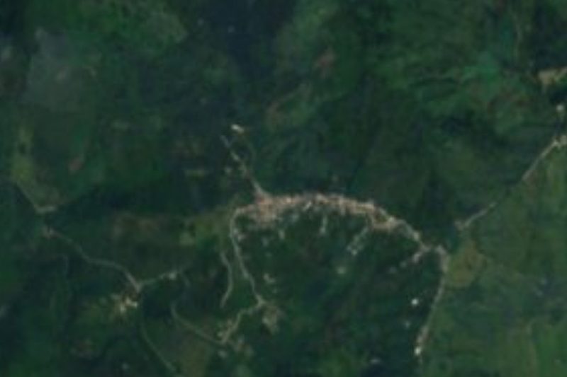
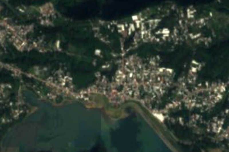
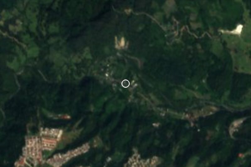
Drive times by road from OpenStreetMap, without traffic. Times marked ~ are estimated from the straight-line distance.
Location from OpenStreetMap. Written by Puebloteca.