Town Tihuatlán, Veracruz Municipality of Tihuatlán Totonacapan
A town of about 15,000 next to Poza Rica, known as Veracruz's furniture capital and the gateway between the Huasteca and Totonac lands.
From Poza Rica: 25 min by car (26 km by road) How to get there ↓
Near here
See everything nearby ↓




Plan your visit to Tihuatlán
Where to stay near Tihuatlán
Compare hotels, posadas and guest houses in Tihuatlán.
Tours to Tihuatlán
Day trips around Papantla sometimes stop in Tihuatlán; a tour is the easy way to see it without a car.
How to get to Tihuatlán
- From Poza Rica: about 25 min by road (~26 km)
- Nearest airport: Poza Rica (PAZ), 2 h 45 min by car to Papantla
Links open a partner site. We may earn a commission if you book, at no cost to you.
About Tihuatlán
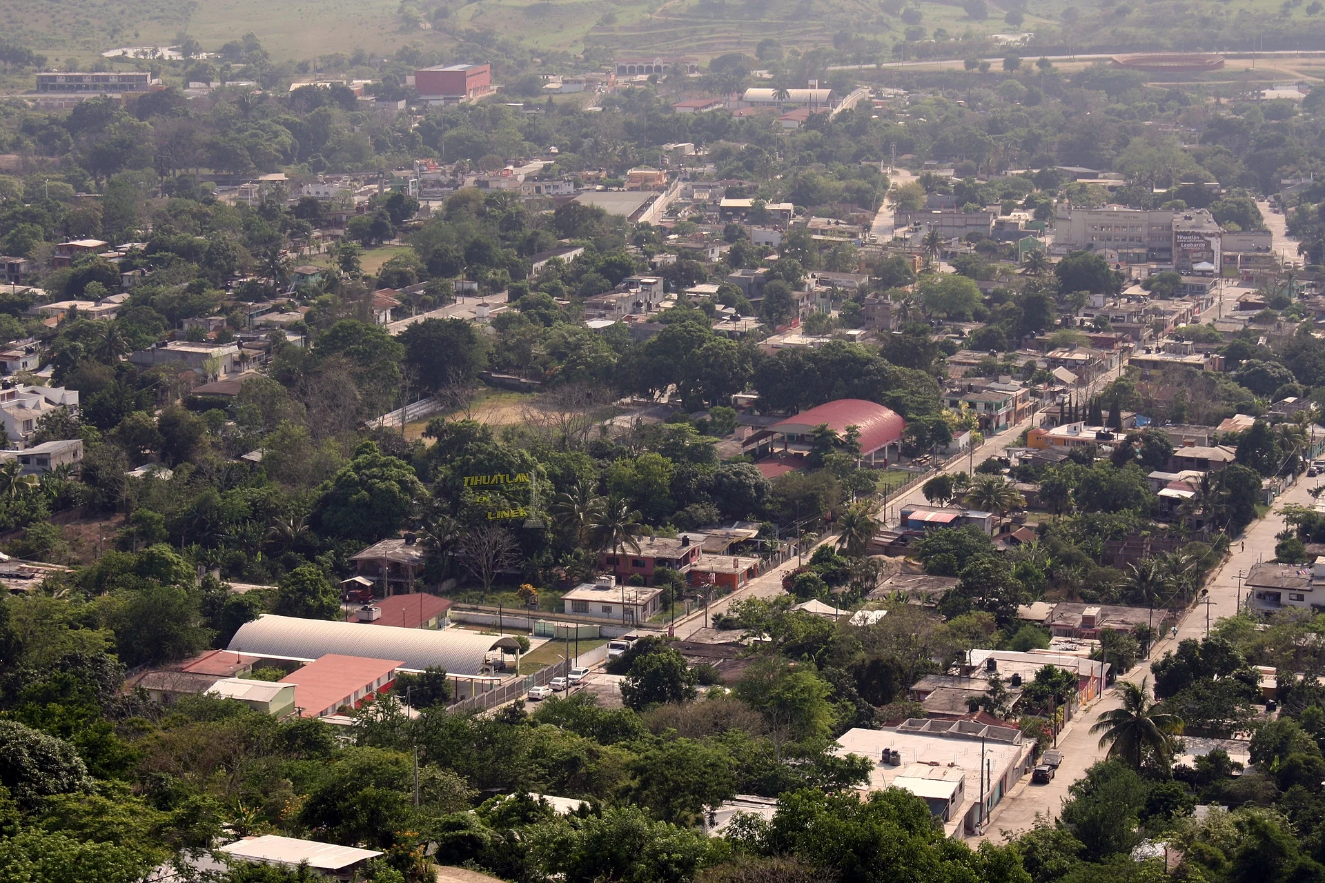
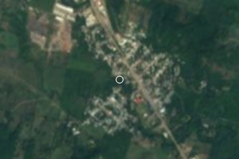
Tihuatlán is the seat of the municipality of the same name in northern Veracruz, about 24 km by road from Poza Rica and 35 km from Tuxpan. The town counted 15,305 people at the census, and parts of the wider municipality, home to more than 80,000, have merged into the Poza Rica metropolitan area. It sits only about 60 m above sea level on the first low hills of the Huasteca, watered by the Cazones and Tontepec rivers. Locals call it the "golden gate" of the Veracruz Huasteca, because the municipality lies right on the line between Huastec and Totonac country; Totonac is still the main Indigenous language spoken here.
Two Nahuatl readings of the name circulate: "place where women abound", or, in the municipality's own version, Teo Cihua-tlán, "place of the divine woman". It was already a pre-Hispanic settlement in the province of Tuxpan. Its colonial founding is dated to 1598, when Rodrigo Zárate set it up on the viceroy's orders, and in the 18th century it belonged to the parish of Temapache under the alcaldía mayor of Huauchinango. It became a free municipality on 30 September 1920, got electricity in 1955 and was raised to the rank of villa in October 1963.
Across Veracruz the town is known as the furniture capital, and cedar workshops and furniture showrooms line its streets alongside potters. A concrete Christ more than 30 m tall, inaugurated in 2007, stands on the hill above town and has a page of its own. Down below, the centre has the domed municipal park, the church of San Francisco de Asís, a mural on local identity and a string of public sculptures, while the public library holds a small museum of pre-Hispanic objects and copies of codices. Food follows Huastec tradition: zacahuil, caldo macho, enchiladas and dishes cooked empascalado, in a ground-seed pascal sauce.
How to get to Tihuatlán
Drive from Poza Rica: 25 min, 26 km
From Poza Rica it is about 24 km and 25 minutes: leave on Boulevard Lázaro Cárdenas (Highway 180) and take federal Highway 130 (Pachuca–Tuxpan) north until it enters Tihuatlán as Boulevard Bicentenario. From Tuxpan it is about 35 km, roughly 30 minutes, on the 130D toll road (Tuxpan–Tihuatlán) and then the free 130. From Papantla, the nearest Pueblo Mágico, allow about 49 km and 50 minutes via the El Tajín road, Highway 127 to Poza Rica and then the 130. Tihuatlán has a first-class (ADO) and a second-class (Grupo Estrella Blanca) bus terminal, and El Tajín national airport, which serves Poza Rica, is in the municipality.
Directions to Tihuatlán on Google Maps
Distances are in a straight line; the road is usually longer.
Links open a partner site. We may earn a commission if you book, at no cost to you.
From the nearest cities to Tihuatlán
Drive times by road from OpenStreetMap, without traffic or stops. Times marked ~ are estimated from the straight-line distance.
Before you go to Tihuatlán: hours, prices and tips
- Best season
- The patron saint festival of Saint Francis of Assisi runs 4 to 8 October; the Danza de la Vaca is danced at dawn on the 4th. Enciclopedia de los Municipios de México (INAFED) · checked Oct 2026
Hours and prices change, especially around holidays. Each fact links to where we checked it.
Visiting Tihuatlán: what to see and do
The cedar furniture workshops and showrooms the town is known for.
The domed municipal park and the church of San Francisco de Asís.
The divine woman sculpture, the sculpture garden and the Totonac woman monument.
The monument to the Danza de la Vaca and the identity mural.
The small museum in the public library, with pre-Hispanic pieces and codex copies.
The Cristo Redentor on the hill, with a view over the whole town.
The Saint Francis of Assisi festival, 4 to 8 October, with the Vaca and Malinche dances.
The Cazones river and a plate of zacahuil or caldo macho.
Plan your trip
Places to stay in Tihuatlán
Compare hotels, posadas, and rentals in and around Tihuatlán.
Tours & activities
Day trips around Papantla sometimes stop in Tihuatlán; a tour is the easy way to see it without a car.
Rental cars
Pick up a car at PAZ (Poza Rica): about 2 h 45 min by road to Papantla, then 37 km more to Tihuatlán, on your own schedule.
Flights
The nearest airport with scheduled flights is Poza Rica (PAZ), about 2 h 45 min by road from Papantla, the base for Tihuatlán.
Mobile data
Signal can drop away from Papantla: download a map of the way to Tihuatlán before you set out, or carry an eSIM with data.
Links open a partner site. We may earn a commission if you book, at no cost to you.
When to go to Tihuatlán warm
Tihuatlán shares the climate of Papantla, 37 km away. The best months to visit are February, March, April, and December.
See the month-by-month climate of Papantla
Weather in Tihuatlán now and the next 7 days
Live forecast from Open-Meteo. Chance of rain is the day's highest.
The closest Pueblo Mágico: Papantla

Papantla is the Pueblo Mágico closest to Tihuatlán, with places to stay, food, and more to see.
Also close to
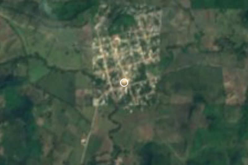
Closest to Tihuatlán
-
Cristo Redentor · Landmark · 1 km away
-
General Lázaro Cárdenas del Río · Village · 16 km away
-
Poza Rica de Hidalgo · City · 22 km away
-
Corralillos · Village · 26 km away
-
Venustiano Carranza · Village · 27 km away
-
Túxpam de Rodríguez Cano · City · 30 km away
-
El Volador · Village · 31 km away
-
Ciudad de Lázaro Cárdenas · Town · 33 km away
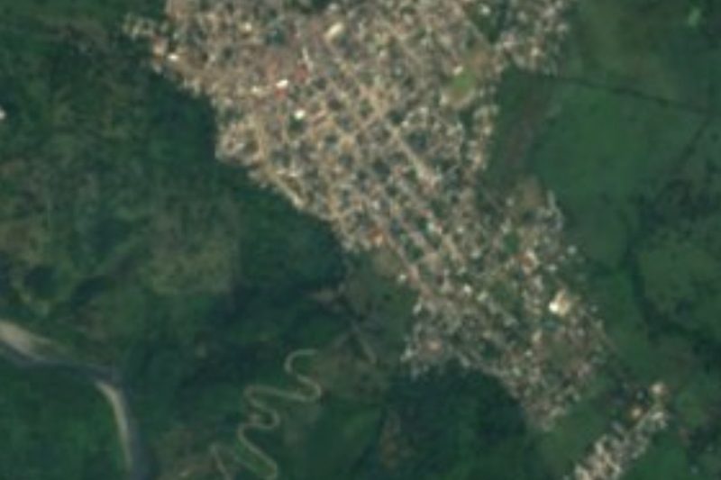
Near Tihuatlán




Drive times by road from OpenStreetMap, without traffic. Times marked ~ are estimated from the straight-line distance.
Location from OpenStreetMap. Written by Puebloteca.