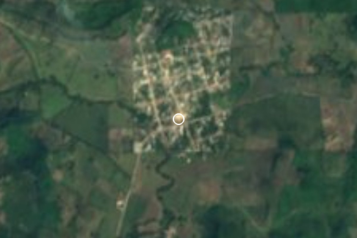
Village Papantla, Veracruz Municipality of Papantla Totonacapan
Totonac village in Papantla on the Totonacapan coastal plain, with a community school for child voladores and an Assumption fiesta on 15 August.
From Papantla: 35 min by car (31 km by road) How to get there ↓
Near here
See everything nearby ↓




Plan your visit to El Volador
Where to stay near El Volador
Compare hotels, posadas and guest houses in El Volador.
Tours to El Volador
Day trips and guided outings from Papantla often include El Volador; with a local guide you can get there without a car.
How to get to El Volador
- From Papantla: about 35 min by road (~31 km)
- Nearest airport: Poza Rica (PAZ), 2 h 45 min by car to Papantla
Links open a partner site. We may earn a commission if you book, at no cost to you.
About El Volador
El Volador is a Totonac village in the municipality of Papantla, on the Totonacapan coastal plain at roughly 80 metres above sea level. The 2020 census counted 2,241 residents, which puts it among the five most populous of Papantla's 429 localities. The name refers to the Voladores ceremony, and the link is more than a label: Totonac is spoken here and the tradition is still practised.
On 4 December 2022 villagers felled, hauled and raised a volador pole (sakatkiwi in Totonac) to found a community school called "Libres de la Costa". About 25 boys and girls aged 7 to 17 rehearse on Sunday mornings to the reed flute and small drum, taught by experienced voladores and backed by the Consejo de Voladores and the Centro de las Artes Indígenas at the Takilhsukut park. They learn the ground dance, the instruments and how to make the costume before they are allowed to fly. A fresh pole was planted on 16 November 2025 to replace the practice pole, which had been in use for almost three years.
The patron fiesta honours the Virgin of the Assumption on 15 August, and the village's Catholic church bears that name; San Judas Tadeo is also celebrated on 28 October. Local cooking includes turkey mole, huatape, sesame enchiladas and tamales wrapped in banana leaf, while village crafts include pottery, embroidery, wooden masks and palm weaving. It is hot for most of the year, averaging about 24 °C, with frequent rain. Most homes have a mobile phone, but fewer than half have internet access.
How to get to El Volador
Drive from Papantla: 35 min, 31 km
From Poza Rica it is about 38 km, around 45 minutes: take the Poza Rica-El Esfuerzo state road north-east and, past El Esfuerzo, follow state roads until you enter the village on Calle Felipe Martínez. From Papantla it is about 31 km, some 37 minutes, on state roads heading north. Several streets in the village are unpaved. By bus, Poza Rica's Central de Autobuses (Avenida Puebla, Palma Sola) has ADO, AU and Estrella Blanca services, and Papantla's ADO terminal is at Juárez 207; buses run between the two cities roughly hourly. We found no published timetable for colectivos to El Volador, so ask about local transport in Papantla or Poza Rica, or take a taxi.
Directions to El Volador on Google Maps
Distances are in a straight line; the road is usually longer.
Links open a partner site. We may earn a commission if you book, at no cost to you.
From the nearest cities to El Volador
- Papantla · 31 km by road, 35 min
- Poza Rica · 38 km by road, 45 min
- Tuxpan · 71 km by road, 1 h 10 min
Drive times by road from OpenStreetMap, without traffic or stops. Times marked ~ are estimated from the straight-line distance.
Visiting El Volador: what to see and do
The volador pole of the "Libres de la Costa" community school, where children rehearse on Sunday mornings.
The church of La Asunción, focus of the 15 August patron fiesta.
The San Judas Tadeo fiesta on 28 October.
Totonac dishes such as huatape, turkey mole and sesame enchiladas.
Local crafts: wooden masks, embroidery, pottery and palm weaving.
The El Tajín archaeological site and Takilhsukut park, about an hour away.
Plan your trip
Places to stay in El Volador
Compare hotels, posadas, and rentals in and around El Volador.
Tours & activities
Day trips and guided outings from Papantla often include El Volador; with a local guide you can get there without a car.
Rental cars
Pick up a car at PAZ (Poza Rica): about 2 h 45 min by road to Papantla, then 23 km more to El Volador, on your own schedule.
Flights
The nearest airport with scheduled flights is Poza Rica (PAZ), about 2 h 45 min by road from Papantla, the base for El Volador.
Mobile data
Signal can drop away from Papantla: download a map of the way to El Volador before you set out, or carry an eSIM with data.
Links open a partner site. We may earn a commission if you book, at no cost to you.
When to go to El Volador warm
El Volador shares the climate of Papantla, 23 km away. The best months to visit are February, March, April, and December.
See the month-by-month climate of Papantla
Weather in El Volador now and the next 7 days
Live forecast from Open-Meteo. Chance of rain is the day's highest.
The closest Pueblo Mágico: Papantla

Papantla is the Pueblo Mágico closest to El Volador, with places to stay, food, and more to see.
Also close to
Closest to El Volador
-
Barra de Cazones · Beach · 10 km away
-
Poza Rica de Hidalgo · City · 24 km away
-
El Tajín · Archaeological site · 25 km away
-
General Lázaro Cárdenas del Río · Village · 26 km away
-
Gutiérrez Zamora · Town · 27 km away
-
Cristo Redentor · Landmark · 30 km away
-
Tecolutla · Town · 31 km away
-
Tihuatlán · Town · 31 km away


Near El Volador





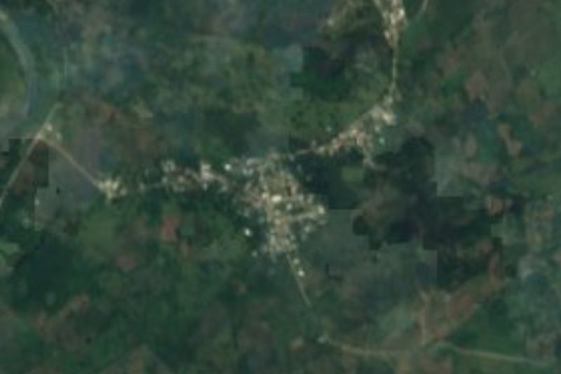


Drive times by road from OpenStreetMap, without traffic. Times marked ~ are estimated from the straight-line distance.
Location from OpenStreetMap. Written by Puebloteca.