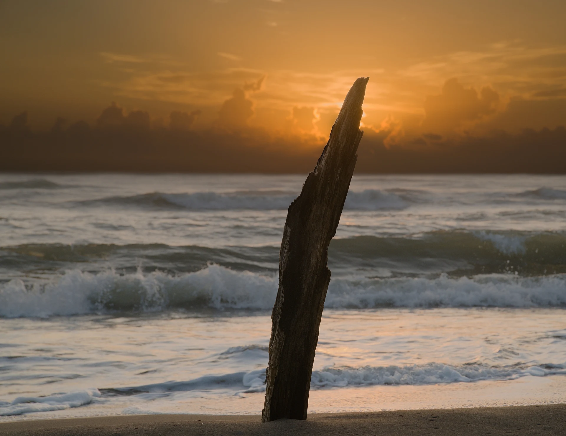
Beach Tecolutla, Veracruz Totonacapan Costa Esmeralda (Veracruz)
More than 50 km of calm Gulf beaches between Tecolutla and Nautla, with fine sand, seafood and mangrove boat trips.
From Martínez de la Torre: 45 min by car (49 km by road) How to get there ↓
Near here
See everything nearby ↓


Plan your visit to Costa Esmeralda
Where to stay near Costa Esmeralda
Azúcar Hotel · ★★★ · 780 m from the center Prices taboga Eco Boutique Hotel Hotel · ★★★ · 2.0 km from the center PricesTours to Costa Esmeralda
Day trips and guided outings from Papantla often include Costa Esmeralda; with a local guide you can get there without a car.
How to get to Costa Esmeralda
- From Martínez de la Torre: about 45 min by road (~49 km)
- 54 km east of Papantla
- Nearest airport: Poza Rica (PAZ), 2 h 45 min by car to Papantla
Links open a partner site. We may earn a commission if you book, at no cost to you.
About Costa Esmeralda
The Costa Esmeralda, or Emerald Coast, is the stretch of shoreline that runs for more than 50 kilometers south from Tecolutla to Nautla. It takes its name from the color of the water, which on calm days shifts between green and blue. It is one of the main beach getaways for people from central Mexico and from Papantla and Poza Rica.
The coast is a string of small beach communities along the highway rather than one town: La Vigueta, Monte Gordo, Playa Oriente, Casitas, La Guadalupe and Ricardo Flores Magón, among others. The beaches are long, with fine, soft sand and usually gentle waves, and the strip is lined with hotels of every level, from comfortable resorts to simple rooms, campgrounds and trailer parks.
Behind the beaches are lagoons and mangroves, especially around Casitas and the Ciénega del Fuerte near Ricardo Flores Magón, where local boatmen take visitors to see herons, ducks and sometimes crocodiles. It is busiest in Semana Santa and the summer holidays; outside those weeks many beaches are nearly empty.
How to get to Costa Esmeralda
Drive from Martínez de la Torre: 45 min, 49 km
From Papantla, take Highway 180 east through Gutiérrez Zamora and continue south along the coast; the first beaches are a little over an hour away by car, and the far end near Nautla takes longer. Buses along the coastal highway stop at the beach communities.
54 km east of Papantla
Directions from Papantla on Google Maps
Distances are in a straight line; the road is usually longer.
Links open a partner site. We may earn a commission if you book, at no cost to you.
From the nearest cities to Costa Esmeralda
- Martínez de la Torre · 49 km by road, 45 min
- Papantla · 62 km by road, 1 h
- Poza Rica · 89 km by road, 1 h 25 min
Drive times by road from OpenStreetMap, without traffic or stops. Times marked ~ are estimated from the straight-line distance.
Before you go to Costa Esmeralda: hours, prices and tips
- Best season
- Sea turtle nesting starts around Holy Week on these beaches. Milenio · checked Oct 2026
- Rules
- Don't drive onto the beach, take your rubbish home, and keep about 15 m from any nesting turtle. Milenio · checked Oct 2026
Hours and prices change, especially around holidays. Each fact links to where we checked it.
Visiting Costa Esmeralda: what to see and do
Pick a beach along the highway, such as Monte Gordo, Casitas or La Vigueta, and spend the day on the sand.
Take a boat tour through the mangroves at Casitas or the Ciénega del Fuerte.
Eat fried fish and seafood cocktails at the beach restaurants.
Come outside the holiday weeks if you want the beaches almost to yourself.
Plan your trip
Places to stay in Costa Esmeralda
Azúcar Hotel · ★★★ · 780 m from the center Find on Expedia taboga Eco Boutique Hotel Hotel · ★★★ · 2.0 km from the center Find on Expedia Marbella Hotel · ★★ · 1.4 km from the center Find on Expedia Misión del Mar Hotel · ★★ · 2.6 km from the center Find on Expedia Bermudas Hotel · 710 m from the center Find on Expedia SunBeach Hotel Hotel · 1.2 km from the center Find on ExpediaTours & activities
Day trips and guided outings from Papantla often include Costa Esmeralda; with a local guide you can get there without a car.
Rental cars
Pick up a car at PAZ (Poza Rica): about 2 h 45 min by road to Papantla, then 54 km more to Costa Esmeralda, on your own schedule.
Flights
The nearest airport with scheduled flights is Poza Rica (PAZ), about 2 h 45 min by road from Papantla, the base for Costa Esmeralda.
Travel insurance
If you plan on swimming or surfing at Costa Esmeralda, check that your policy covers it: some plans leave adventure activities out.
Mobile data
Signal can drop away from Papantla: download a map of the way to Costa Esmeralda before you set out, or carry an eSIM with data.
Links open a partner site. We may earn a commission if you book, at no cost to you. Hotel names from OpenStreetMap.
When to go to Costa Esmeralda warm
Costa Esmeralda shares the climate of Papantla, 54 km away. The best months to visit are February, March, April, and December.
Costa Esmeralda is best for swimming and time on the water in the warmest months (May, June, and July); in the rainiest ones (June, August, and September) expect storms in the afternoon.
See the month-by-month climate of Papantla
Weather in Costa Esmeralda now and the next 7 days
Live forecast from Open-Meteo. Chance of rain is the day's highest.
Make Papantla your base

Costa Esmeralda is an easy trip from Papantla, a Pueblo Mágico with places to stay, food, and more to see.
Also close to
Closest to Costa Esmeralda
-
Tecolutla · Town · 27 km away
-
Gutiérrez Zamora · Town · 31 km away
-
Misantla · Town · 40 km away · Veracruz
-
San José Acateno · Village · 43 km away · Puebla
-
Cuyuxquihui · Archaeological site · 44 km away
Near Costa Esmeralda



Drive times by road from OpenStreetMap, without traffic. Times marked ~ are estimated from the straight-line distance.
Lists with Costa Esmeralda
Beaches in Veracruz · 4Something wrong or missing on this page? Suggest a fix or addition
Location from OpenStreetMap. Written by Puebloteca.