

Archaeological site Papantla, Veracruz Municipality of Papantla Totonacapan
The great ancient city of the Gulf coast, with the Pyramid of the Niches, many ball courts and voladores at the gate.
From Papantla: 10 min by car (8 km by road) How to get there ↓
Near here
See everything nearby ↓



Plan your visit to El Tajín
Tours to El Tajín
A guide brings El Tajín to life: look for tours from Papantla that include the site and the ride there.
How to get to El Tajín
- From Papantla: about 10 min by road (~8 km)
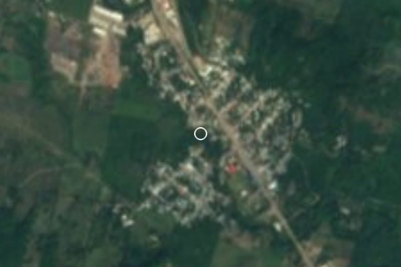
- 5 km west of Papantla
- Nearest airport: Poza Rica (PAZ), 2 h 45 min by car to Papantla
Links open a partner site. We may earn a commission if you book, at no cost to you.
About El Tajín
El Tajín lies in green, rolling hills a few kilometers west of Papantla, and it is the reason many people come to this part of Veracruz. It was the most important city of the north-central Gulf coast between roughly 800 and 1150 AD, and its name is usually explained as Totonac for thunder, after the god of rain and lightning. UNESCO listed it as a World Heritage Site in 1992.
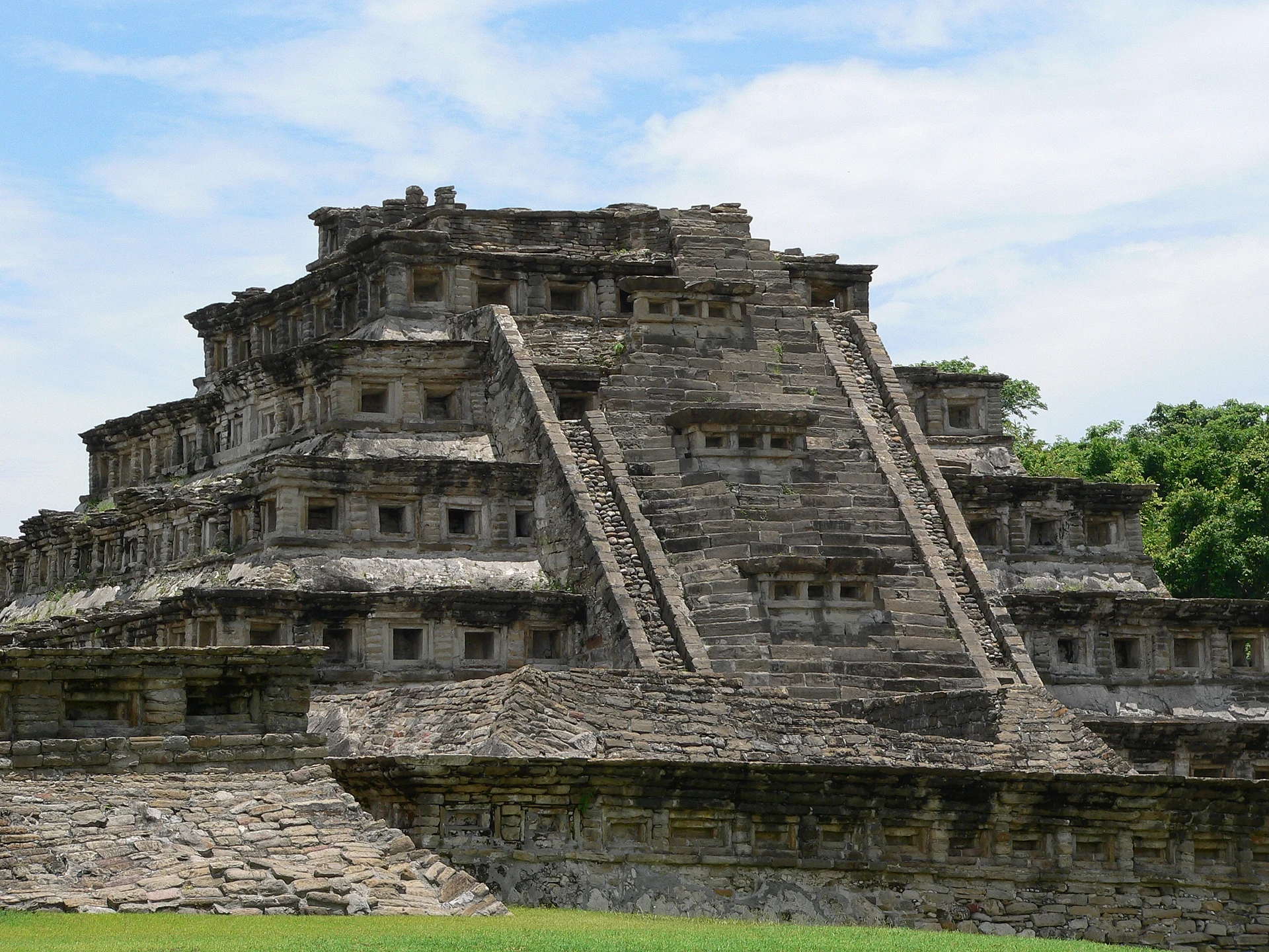
The building everyone comes to see is the Pyramid of the Niches, a stepped temple whose sides are lined with hundreds of square recesses that throw deep shadows in the afternoon sun; tradition counts 365 of them, one for each day of the year. Around it are plazas, palaces and an unusual number of ball courts, more than at any other known site in Mesoamerica. The walls of the South Ball Court are carved with scenes of the game and the sacrifice that could end it. Higher up, the area called Tajín Chico held the residences of the ruling class, including the Building of the Columns.
Outside the entrance, the Voladores de Papantla perform several times a day: four men hang by ropes from the top of a tall pole and spin slowly to the ground while a fifth plays flute and drum on the tiny platform above. Next to the site is the Takilhsukut park, where the Cumbre Tajín festival of music and Indigenous culture takes place each March around the spring equinox.
How to get to El Tajín
Drive from Papantla: 10 min, 8 km
El Tajín is about 15 minutes by car or taxi from the center of Papantla. Local buses and shared taxis marked "Tajín" also run from town; ask locally where they leave from. The site is usually open daily from 9 a.m. to 6 p.m., with last entry an hour before closing. There is little shade, so bring water, a hat and sunscreen, and come early to avoid the midday heat.
5 km west of Papantla
Directions from Papantla on Google Maps
Distances are in a straight line; the road is usually longer.
Links open a partner site. We may earn a commission if you book, at no cost to you.
From the nearest cities to El Tajín
Drive times by road from OpenStreetMap, without traffic or stops. Times marked ~ are estimated from the straight-line distance.
Before you go to El Tajín: hours, prices and tips
- Hours
- Open daily 9 am to 6 pm; last entry at 5 pm. INAH · checked Oct 2026
- Entry
- 210 pesos for foreign visitors, 105 for Mexican visitors; discounts for Mexican students, teachers and seniors. Professional cameras pay extra. INAH · checked Oct 2026
- Best season
- Hot and humid all year; May and June are the hottest months. Mexperience · checked Oct 2026
- Guide or tour
- You can walk the site on your own; INAH lists guided tours among the services at the entrance. Tours: Viator GetYourGuide INAH · checked Oct 2026
- What to bring
- Light clothes, a hat, sunglasses, sunscreen, plenty of water and non-slip shoes for the steps. Mexperience · checked Oct 2026
- Rules
- No smoking, no food brought in, and no pets. INAH · checked Oct 2026
Hours and prices change, especially around holidays. Each fact links to where we checked it.
Visiting El Tajín: what to see and do
Walk around the Pyramid of the Niches, ideally in the late afternoon when the shadows make the niches stand out.
Look for the carved panels on the walls of the South Ball Court.
Climb up to Tajín Chico and the Building of the Columns for views over the site.
Visit the site museum near the entrance, which keeps sculpture and reliefs found in the excavations.
Watch the Voladores de Papantla perform on the pole outside the entrance.
Plan your trip
Places to stay in El Tajín
Tajín Hotel · ★★★ · 5.8 km from the center Find on Expedia Hotel La Quinta de los Leones Hotel · ★★ · 5.0 km from the center Find on Expedia Totonacapan Hotel · ★★ · 5.7 km from the center Find on Expedia Hotel Maria Otilia Falla Hotel · ★★ · 6.1 km from the center Find on Expedia Hotel Stakú Hotel · 1.9 km from the center Find on Expedia hotel santo domingo Hotel · 5.5 km from the center Find on ExpediaTours & activities
A guide brings El Tajín to life: look for tours from Papantla that include the site and the ride there.
Rental cars
Pick up a car at PAZ (Poza Rica): about 2 h 45 min by road to Papantla, then 5 km more to El Tajín, on your own schedule.
Flights
The nearest airport with scheduled flights is Poza Rica (PAZ), about 2 h 45 min by road from Papantla, the base for El Tajín.
Mobile data
Signal can drop away from Papantla: download a map of the way to El Tajín before you set out, or carry an eSIM with data.
Links open a partner site. We may earn a commission if you book, at no cost to you. Hotel names from OpenStreetMap.
Photos
When to go to El Tajín warm
El Tajín shares the climate of Papantla, 5 km away. The best months to visit are February, March, April, and December.
See the month-by-month climate of Papantla
Weather in El Tajín now and the next 7 days
Live forecast from Open-Meteo. Chance of rain is the day's highest.
Make Papantla your base

El Tajín is an easy trip from Papantla, a Pueblo Mágico with places to stay, food, and more to see.
Also close to
- Zozocolco · Veracruz · 40 km away
- Cuetzalan · Puebla · 50 km away
- Xicotepec · Puebla · 64 km away
- Teziutlán · Puebla · 66 km away
- Tlatlauquitepec · Puebla · 67 km away
Closest to El Tajín
-
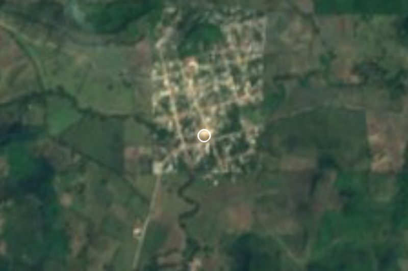
Poza Rica de Hidalgo · City · 12 km away · Veracruz
-
Corralillos · Village · 16 km away · Veracruz
-
General Lázaro Cárdenas del Río · Village · 18 km away · Veracruz
-
Cuyuxquihui · Archaeological site · 20 km away
-
El Volador · Village · 25 km away · Veracruz
-
Gutiérrez Zamora · Town · 30 km away
-
Venustiano Carranza · Village · 31 km away · Puebla
-
Ciudad de Lázaro Cárdenas · Town · 34 km away · Puebla

Near El Tajín


Drive times by road from OpenStreetMap, without traffic. Times marked ~ are estimated from the straight-line distance.
Lists with El Tajín
Ruins in Veracruz · 5 Ruins near Poza Rica · 3 Ruins near Cuetzalan · 5 Ruins near Martínez de la Torre · 4Something wrong or missing on this page? Suggest a fix or addition
Location from OpenStreetMap. Written by Puebloteca.