City Tuxpan, Veracruz Huasteca Veracruzana
Tuxpan, a Huasteca river port and the closest to Mexico City: the Granma sailed from here in 1956; beaches, seafood and a candlelit 7 December.
From Poza Rica: 50 min by car (59 km by road) How to get there ↓
Near here
See everything nearby ↓


Plan your visit to Túxpam de Rodríguez Cano
Where to stay near Túxpam de Rodríguez Cano
Compare hotels, posadas and guest houses in Túxpam de Rodríguez Cano.
Tours to Túxpam de Rodríguez Cano
Day trips and guided outings from Papantla often include Túxpam de Rodríguez Cano; with a local guide you can get there without a car.
How to get to Túxpam de Rodríguez Cano
- From Poza Rica: about 50 min by road (~59 km)
- Nearest airport: Poza Rica (PAZ), 2 h 45 min by car to Papantla
Links open a partner site. We may earn a commission if you book, at no cost to you.
About Túxpam de Rodríguez Cano
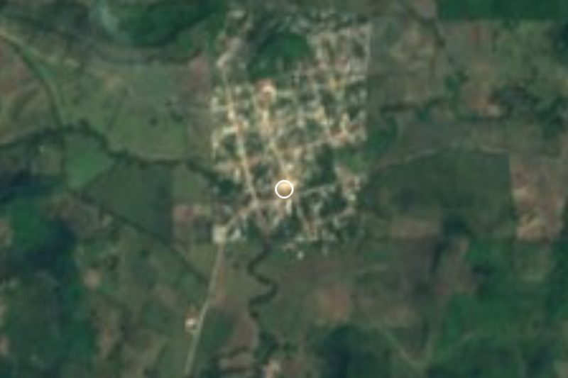
Túxpam de Rodríguez Cano, known to everyone as Tuxpan, is the main city and port of northern Veracruz and the seat of the municipality of the same name. It lies in the Huasteca on the left bank of the Tuxpan River, 11 km upstream from the Gulf, only 10 m above sea level. The city had 89,557 people in 2020 and the municipality 154,600. Both spellings, Tuxpan and Túxpam, are in use; the name comes from the Nahuatl Tochpan, "place of rabbits".
The roots are Huastec. The first settlement was Tabuco, a small ceremonial centre downstream toward the river mouth. The Mexica took the area in the second half of the 15th century and made Tochpan the head of a tribute province that also covered Papantla; every twenty days it held a market that drew traders from the Valley of Mexico and Tulancingo. Bernal Díaz del Castillo wrote the first description of the place and Hernán Cortés conquered the area in 1522. Repeated floods pushed the town from the right bank to the left, where it stands today. It became a villa in 1830, a city in 1881 and briefly the state capital in 1914, and since 1955 it has carried the name of Enrique Rodríguez Cano, a politician born here.
Tuxpan's best-known moment came in the first minutes of 25 November 1956, when the yacht Granma left Santiago de la Peña, across the river from the city, carrying Fidel and Raúl Castro, Che Guevara, Camilo Cienfuegos and some eighty other fighters to start the Cuban Revolution. The Museo de la Amistad México-Cuba in Santiago de la Peña keeps photographs, writings and objects from that story.
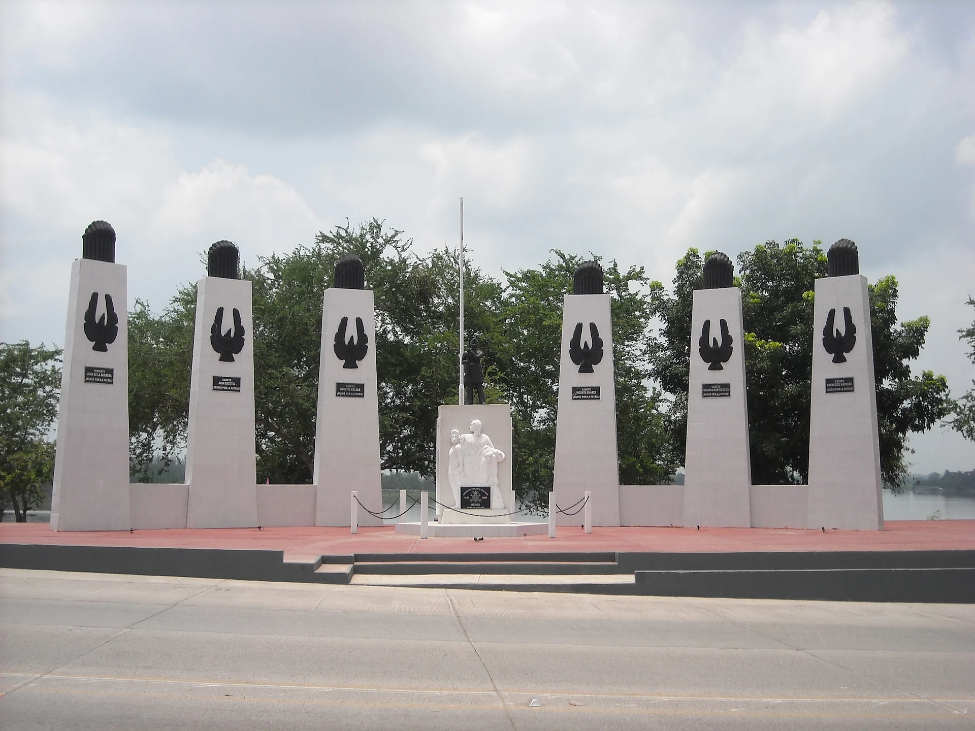
Today Tuxpan is the closest port to Mexico City. It handles mostly grain such as soybeans and maize, has Pemex installations and is home to the Mexican Navy's Gulf fleet; a new terminal opened in 2017 with capacity for hundreds of thousands of containers and vehicles a year. Fishing, cattle and citrus fill out the economy. For visitors, life centres on the old town: the cathedral of Nuestra Señora de la Asunción, Parque Reforma with its fountains, the Niños Héroes monument by the river and the Enrique Rodríguez Cano market, where the upper floor serves regional cooking. East of town the mangrove-lined Tampamachoco lagoon separates the city from the Gulf, and beyond it long beaches run along the barrier island, with oil tankers anchored offshore. Local dishes include bocoles, machuco made from green plantain, tamales, squash with shrimp and plenty of seafood, and the music is huapango and son huasteco.
How to get to Túxpam de Rodríguez Cano
Drive from Poza Rica: 50 min, 59 km
From Mexico City it is about 285 km, roughly 3 h 40 min on toll roads: the México–Pachuca highway, then the 132D via Tulancingo and Nuevo Necaxa to Tihuatlán, and finally the 130D Tihuatlán–Túxpam toll road. From Poza Rica it is about 56 km, around 50 minutes on highways 130 and 130D; from Papantla, the nearest Pueblo Mágico, about 83 km, roughly 1 h 5 min. By bus, Mexico City departures leave from the Terminal del Norte (Futura) and from Indios Verdes (Autotransportes San Pedro Santa Clara), about 4 h 30 min, sometimes with a change in Poza Rica; ADO runs hourly from Poza Rica to Tuxpan (about an hour), and Ómnibus de México has a few departures. From Veracruz port allow about 6 hours, usually changing in Poza Rica. Note that each bus company has its own station in Tuxpan: ADO on Calle Genaro Rodríguez in the centre, Ómnibus de México at the Tuxpan–México road and Avenida Cuauhtémoc, and Estrella Blanca (Futura and Conexión) at Avenida Cuauhtémoc 10. The beaches are far from the centre, so take a taxi.
Directions to Túxpam de Rodríguez Cano on Google Maps
Distances are in a straight line; the road is usually longer.
Links open a partner site. We may earn a commission if you book, at no cost to you.
From the nearest cities to Túxpam de Rodríguez Cano
- Poza Rica · 59 km by road, 50 min
- Papantla · 83 km by road, 1 h 5 min
- Huauchinango · 127 km by road, 1 h 40 min
Drive times by road from OpenStreetMap, without traffic or stops. Times marked ~ are estimated from the straight-line distance.
Before you go to Túxpam de Rodríguez Cano: hours, prices and tips
- Best season
- Carnival in spring; the Regata Tajín sailing regatta in summer; the Fiesta del Niño Perdido on 7 December, when the whole city is lit with candles. Enciclopedia de los Municipios de México (INAFED) · checked Oct 2026
Hours and prices change, especially around holidays. Each fact links to where we checked it.
Visiting Túxpam de Rodríguez Cano: what to see and do
The Museo de la Amistad México-Cuba in Santiago de la Peña, on the Granma's 1956 departure.
The cathedral of Nuestra Señora de la Asunción in the centre.
Parque Reforma, with fountains and municipal buildings around it.
The Niños Héroes monument on the bank of the Tuxpan River.
The Enrique Rodríguez Cano market, with regional cooking on the upper floor.
The Santuario de la Iguana, a riverside garden where iguanas and garrobos roam free.
The Tampamachoco lagoon and its mangroves.
Tuxpan Playa, Playa Norte and Playa Galindo on the barrier island facing the Gulf.
The archaeology museum and the Casa de la Cultura.
Plan your trip
Places to stay in Túxpam de Rodríguez Cano
Compare hotels, posadas, and rentals in and around Túxpam de Rodríguez Cano.
Tours & activities
Day trips and guided outings from Papantla often include Túxpam de Rodríguez Cano; with a local guide you can get there without a car.
Rental cars
Pick up a car at PAZ (Poza Rica): about 2 h 45 min by road to Papantla, then 57 km more to Túxpam de Rodríguez Cano, on your own schedule.
Flights
The nearest airport with scheduled flights is Poza Rica (PAZ), about 2 h 45 min by road from Papantla, the base for Túxpam de Rodríguez Cano.
Mobile data
Signal can drop away from Papantla: download a map of the way to Túxpam de Rodríguez Cano before you set out, or carry an eSIM with data.
Links open a partner site. We may earn a commission if you book, at no cost to you.
When to go to Túxpam de Rodríguez Cano warm
Túxpam de Rodríguez Cano shares the climate of Papantla, 57 km away. The best months to visit are February, March, April, and December.
See the month-by-month climate of Papantla
Weather in Túxpam de Rodríguez Cano now and the next 7 days
Live forecast from Open-Meteo. Chance of rain is the day's highest.
The closest Pueblo Mágico: Papantla

Papantla is the Pueblo Mágico closest to Túxpam de Rodríguez Cano, with places to stay, food, and more to see.
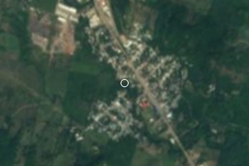
Closest to Túxpam de Rodríguez Cano
-
Cristo Redentor · Landmark · 30 km away
-
Tihuatlán · Town · 30 km away
-
Barra de Cazones · Beach · 34 km away
-
Potrero del Llano · Village · 36 km away
-
Tamiahua · Town · 36 km away
-
El Volador · Village · 39 km away
-
General Lázaro Cárdenas del Río · Village · 43 km away
-
Poza Rica de Hidalgo · City · 47 km away

Near Túxpam de Rodríguez Cano




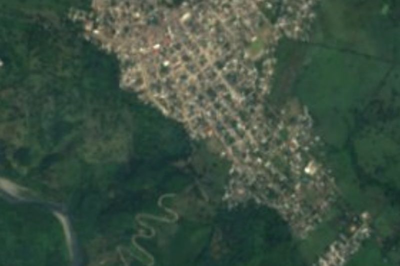


Drive times by road from OpenStreetMap, without traffic. Times marked ~ are estimated from the straight-line distance.
Location from OpenStreetMap. Written by Puebloteca.