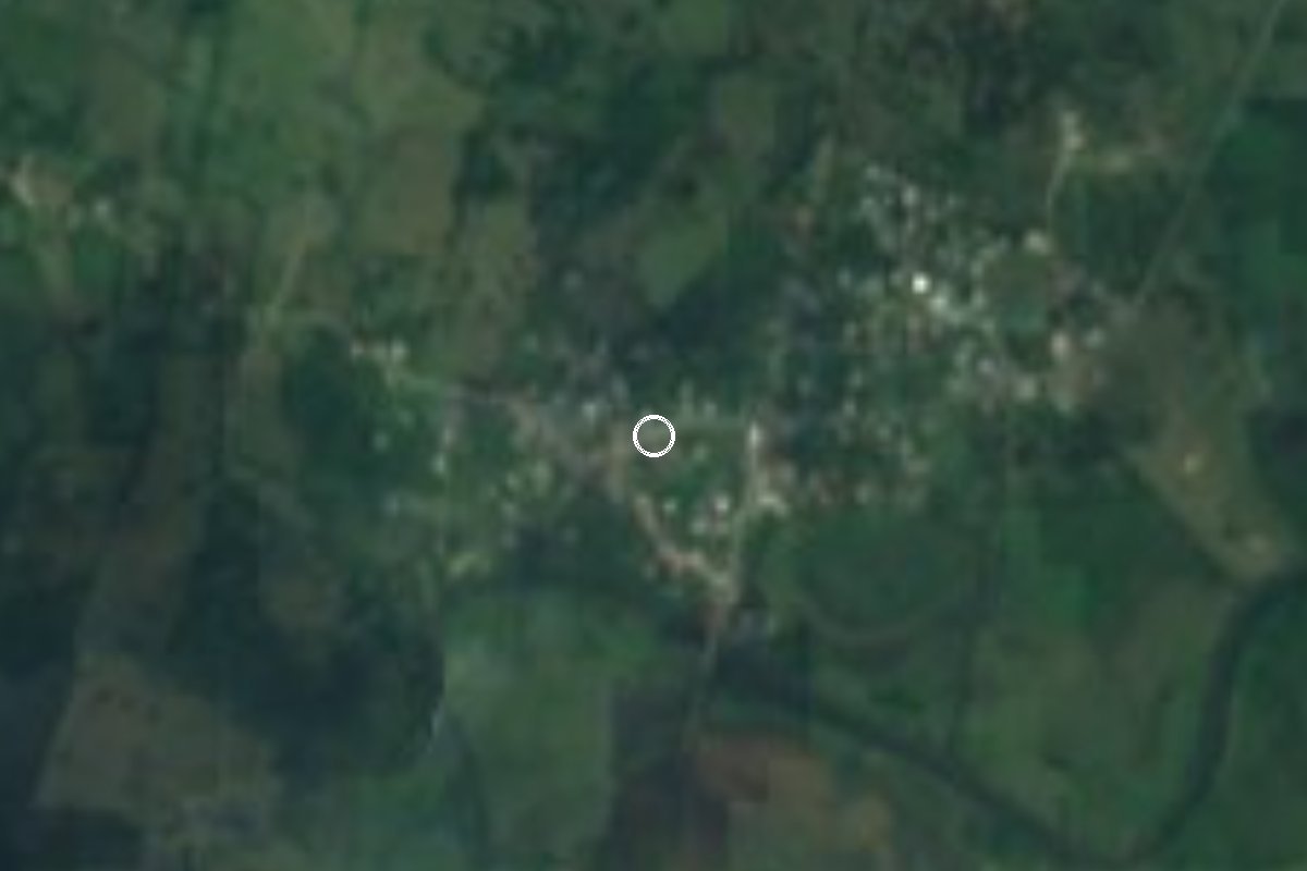
Village Tamalín, Veracruz Huasteca Veracruzana
Tamalín village in the Veracruz Huasteca, about 4 km from the shore of the Tamiahua lagoon; 608 people, zacahuil and huapango country.
From Tuxpan: 1 h 10 min by car (85 km by road) How to get there ↓
Near here
See everything nearby ↓


Plan your visit to Mamey la Mar
Where to stay near Mamey la Mar
Compare hotels, posadas and guest houses in Mamey la Mar.
Tours to Mamey la Mar
Day trips and guided outings from Veracruz often include Mamey la Mar; with a local guide you can get there without a car.
How to get to Mamey la Mar
- From Tuxpan: about 1 h 10 min by road (~85 km)
Links open a partner site. We may earn a commission if you book, at no cost to you.
About Mamey la Mar
Mamey la Mar, written Mamey Lamar in some council records, is one of the villages of Tamalín municipality in the Huasteca Alta of northern Veracruz. It lies on low ground about 10 metres above sea level, southeast of the municipal seat, about 35 km away by road, and roughly 4 km west of the shore of the Tamiahua lagoon. Tamalín is a municipality split into four separate pieces, divided mostly by land belonging to Tantima, and Mamey sits in one of the sections that reach the lagoon.
It is a small place: the 2020 census counted 608 people, 314 women and 294 men, in 203 homes. Like the municipality's other congregaciones, it chooses its municipal agent by plebiscite. Around it are cattle pastures, ponds that dry out in the dry season and scattered homesteads such as Dos Aguas, Los Manueles and La Soledad.
Festive life revolves around Tamalín. From 11 to 14 December the feast of the Virgin of Guadalupe, the municipality's patron, includes religious events out in the villages, Mamey among them. In late July and early August the municipal seat holds its huapango festival, and Holy Week brings a Passion play. The signature dish is zacahuil, the giant Huasteca tamal, alongside mole.
How to get to Mamey la Mar
Drive from Tuxpan: 1 h 10 min, 85 km
The shortest way in is from Naranjos: take Federal Highway 180 (Tuxpan-Tampico) north for about 2.5 km and turn off onto the state road known as Brecha La Huasteca; that is about 21 km and 25 minutes in all. From Tamalín, the municipal seat, it is about 35 km, some 40 minutes. From Tampico allow about 102 km and an hour and a half via Highway 180 and the Tuxpan-Tampico toll road, leaving it for the last 11 km on a state road. From Tuxpan it is about 85 km, around 70 minutes on toll road 180D. Papantla, the nearest Pueblo Mágico, is about 155 km away, roughly two hours. We found no published public transport to the village itself: the practical reference is the buses that stop in Naranjos on Highway 180, then a taxi or local ride.
Directions to Mamey la Mar on Google Maps
Distances are in a straight line; the road is usually longer.
Links open a partner site. We may earn a commission if you book, at no cost to you.
From the nearest cities to Mamey la Mar
- Tuxpan · 85 km by road, 1 h 10 min
- Tampico · 102 km by road, 1 h 20 min
- Poza Rica · 131 km by road, 1 h 45 min
Drive times by road from OpenStreetMap, without traffic or stops. Times marked ~ are estimated from the straight-line distance.
Visiting Mamey la Mar: what to see and do
The Tamiahua lagoon, about 4 km to the east.
The Virgin of Guadalupe feast, 11 to 14 December, with events in the village.
The huapango festival in Tamalín, late July and early August.
Zacahuil, the Huasteca tamal baked for hours in an oven.
Plan your trip
Places to stay in Mamey la Mar
Compare hotels, posadas, and rentals in and around Mamey la Mar.
Tours & activities
Day trips and guided outings from Veracruz often include Mamey la Mar; with a local guide you can get there without a car.
Mobile data
Signal can drop away from Veracruz: download a map of the way to Mamey la Mar before you set out, or carry an eSIM with data.
Links open a partner site. We may earn a commission if you book, at no cost to you.
Closest to Mamey la Mar
-
Naranjos · Town · 19 km away
-
Laguna de Tamiahua · Lagoon · 20 km away
-
Las Sabinas · Village · 33 km away
-
Tamiahua · Town · 34 km away
-
Chontla · Town · 38 km away
-
Potrero del Llano · Village · 50 km away
Near Mamey la Mar






Drive times by road from OpenStreetMap, without traffic. Times marked ~ are estimated from the straight-line distance.
Location from OpenStreetMap. Written by Puebloteca.