
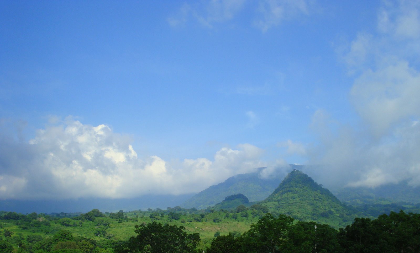
Town Chontla, Veracruz Huasteca Veracruzana
Huastec municipal seat at the foot of the Sierra de Otontepec, 32 km from Naranjos; Santa Catarina feast on 25 November and a hilltop mass on 3 May.
From Tuxpan: 1 h 25 min by car (95 km by road) How to get there ↓
Near here
See everything nearby ↓


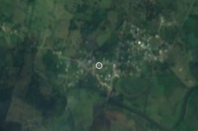
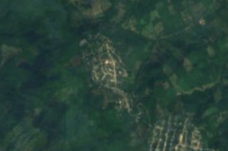

Plan your visit to Chontla
Where to stay near Chontla
Compare hotels, posadas and guest houses in Chontla.
Tours to Chontla
Day trips around Veracruz sometimes stop in Chontla; a tour is the easy way to see it without a car.
Links open a partner site. We may earn a commission if you book, at no cost to you.
About Chontla
Chontla is a town of 2,298 people and the seat of the municipality of the same name in the lower Huasteca of northern Veracruz. It stands at 260 metres at the foot of the Sierra de Otontepec, known locally as the Sierra de Chontla, whose streams water the municipality on their way to the Topila estuary and eventually the Pánuco river. The climate is hot and extreme, averaging 24.6 °C, with about 1,555 mm of rain falling mostly in summer and early autumn, and dry spells.
The Nahuatl name has several readings: "place of long hair", "woman with long hair" or perhaps "where the great mountain is", after one of the Otontepec summits. The town began as a very old Huastec settlement, already called Santa Catalina Chontla in 1592. From 1847 mestizo and Nahua settlers arrived in what had been purely Huastec country, a mix the municipal coat of arms shows as three pairs of footprints. During the Revolution the town was burned in 1915 by Higinio Melgoza's santamarillero forces, who attacked it again in 1920. The coat of arms also shows the obelisk raised in 1988 when the paved road from Naranjos was completed. The writer and teacher Manuel C. Tello came from here, and the kindergarten and primary school he founded bear his name.
The main feast is Santa Catarina on 25 and 26 November, with negritos, mecos and rebozo dances, fireworks, rosaries and novenas. On 3 May people climb the Cerro de la Cruz, a hill about 120 metres high 2.4 km southeast of town, for the bricklayers' day mass, and on 1 and 2 November families build altars and keep vigil in the cemeteries. Local food includes zacahuil, bocoles, dried meat, cheese, requesón and alfajores, washed down with pulque, atole or cane liquor. Farms grow maize, chiles, mangoes, limes, custard apples and sweet potatoes, and raise cattle.
How to get to Chontla
Drive from Tuxpan: 1 h 25 min, 95 km
The usual way in is through Naranjos: from there it is about 32 km, some 36 minutes, on the Ramal a Chontla, the paved road completed in 1988. From Tuxpan it is about 95 km, around an hour and a half: take the 180D Tuxpan–Tampico toll road north, exit onto the Tamiahua branch towards Naranjos, then the Ramal a Chontla. From Poza Rica it is about 138 km, roughly 2 hours, via the 130D and 180D to the same junction. From Tantoyuca it is about 47 km, some 48 minutes, on Federal Highway 127 towards Tuxpan and the other branch road that reaches Chontla from the west. By bus, Tuxpan has an ADO terminal (Calle Genaro Rodríguez, in the centre) with frequent departures to Poza Rica; Chontla itself has no bus route we could confirm; Naranjos is the place to look for a ride or a taxi for the last 32 km.
Directions to Chontla on Google Maps
Distances are in a straight line; the road is usually longer.
Links open a partner site. We may earn a commission if you book, at no cost to you.
From the nearest cities to Chontla
- Tuxpan · 95 km by road, 1 h 25 min
- Poza Rica · 140 km by road, 2 h
- Tampico · 130 km by road, 2 h 5 min
Drive times by road from OpenStreetMap, without traffic or stops. Times marked ~ are estimated from the straight-line distance.
Visiting Chontla: what to see and do
The Santa Catarina feast, 25 and 26 November, with negritos, mecos and rebozo dances.
The Cerro de la Cruz, 2.4 km southeast, with a mass on 3 May.
The view of the Sierra de Otontepec from town.
The 1988 obelisk marking the road from Naranjos.
Zacahuil and bocoles from the Huastec kitchen.
Altars and cemetery vigils on 1 and 2 November.
Plan your trip
Places to stay in Chontla
Compare hotels, posadas, and rentals in and around Chontla.
Tours & activities
Day trips around Veracruz sometimes stop in Chontla; a tour is the easy way to see it without a car.
Mobile data
Signal can drop away from Veracruz: download a map of the way to Chontla before you set out, or carry an eSIM with data.
Links open a partner site. We may earn a commission if you book, at no cost to you.
Closest to Chontla
-
Las Sabinas · Village · 5 km away
-
Naranjos · Town · 25 km away
-
Potrero del Llano · Village · 31 km away
-
Mamey la Mar · Village · 38 km away
-
Tzacuala · Village · 38 km away
-
Chicontepec · Town · 44 km away
-
Tamoyón I · Village · 45 km away
-
Ahuehuetl · Village · 46 km away


Near Chontla







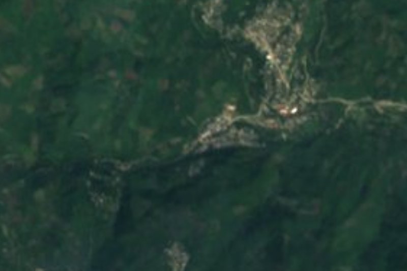

Drive times by road from OpenStreetMap, without traffic. Times marked ~ are estimated from the straight-line distance.
Location from OpenStreetMap. Written by Puebloteca.