

Town Naranjos Amatlán, Veracruz Huasteca Veracruzana
A Huasteca town born of the El Águila oil boom on the Tancochín River, with a huge carnival, a living Way of the Cross and zacahuil.
From Tuxpan: 50 min by car (62 km by road) How to get there ↓
Near here
See everything nearby ↓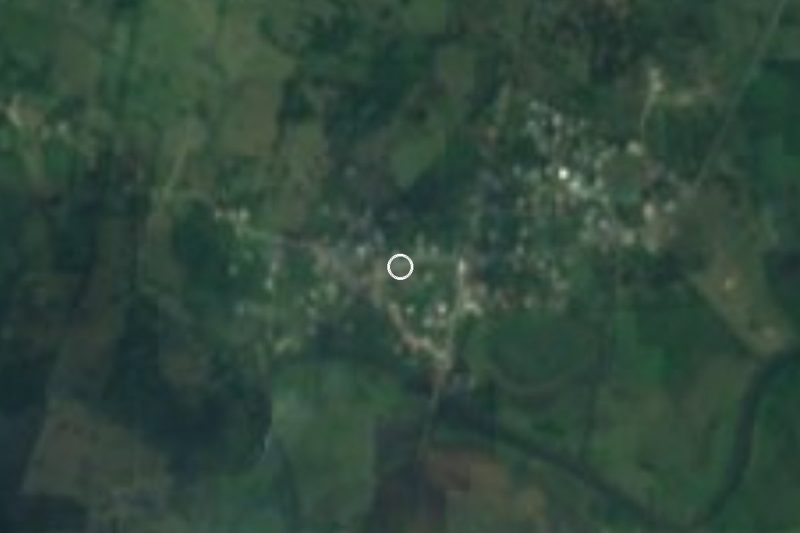


Plan your visit to Naranjos
Where to stay near Naranjos
Compare hotels, posadas and guest houses in Naranjos.
Tours to Naranjos
Day trips around Veracruz sometimes stop in Naranjos; a tour is the easy way to see it without a car.
Links open a partner site. We may earn a commission if you book, at no cost to you.
About Naranjos
Naranjos is the seat of the municipality of Naranjos Amatlán and the market town of the Sierra de Otontepec in northern Veracruz, close to the Tamiahua lagoon. It sits on the Tancochín River, northwest of the sierra, 55 m above sea level, and had 19,272 residents in 2020. The climate is hot and humid, averaging about 23.5 °C, with May and June often close to 40 °C.
In the early 1900s the spot was known as La Providencia and was settled by the owners of plots handed out in the land division of around 1895; Juan Cruz, Pilar Jiménez, Filiberto Herbert and the Casados family are remembered as the first residents. Oil survey crews gave it its present name: the only ford across the river was marked by wild orange trees, a variety called cucho whose fruit fed the local parrots, so it became El Paso de los Naranjos. In 1909 the El Águila company began a rail spur from Cuesillos to the crossing and on to the Chinampa 1 field, and workers arrived from all over Mexico. The Naranjos No. 1 well produced up to 50,000 barrels a day, and from 1916 to 1922 money flowed freely. The town outlived the boom: it became a congregación in 1925, municipal seat in the 1940s, a villa in 1960 and a city in 1974, and in 1996 the municipality was renamed from Amatlán Tuxpan to Naranjos Amatlán. Pemex still runs workshops here.
The centre has Parque Constitución, the parish church of San José de la Montaña, the market, Parque La Arboleda and a suspension bridge over the Tancochín; the Museo de la Huasteca displays archaeological pieces from the region, and a giant statue on a roundabout shows a picker tipping out a basket of oranges. Carnival is the town's pride, billed locally as the second in Veracruz: troupes, floats and costumes cover some 2.5 km of downtown streets in front of tens of thousands of people and end at a stage facing Parque Constitución with concerts. Holy Week brings a living Way of the Cross recognised by the state tourism office. Local crafts include flowers made from corn husks, vine baskets and hats, and the food to try is zacahuil, adobo and bocoles.
How to get to Naranjos
Drive from Tuxpan: 50 min, 62 km
From Tuxpan, the nearest large city, the fastest way is north on the 180D Tuxpan–Tampico toll road, then the Tamiahua spur and the Naranjos–Tamiahua state road into town: about 62 km, roughly 50 minutes. On the free federal highway 180 it is 77 km. From Tampico it is 110 km on federal highway 180, about 1 h 40 min, crossing the Tampico bridge and heading south. From Poza Rica allow about 105 km and 1 h 20 min via the 130D to Tuxpan and then the 180D. Papantla, the nearest Pueblo Mágico, is about 132 km away, roughly 1 h 40 min. State roads also link Naranjos with Chontla and Tamiahua.
Directions to Naranjos on Google Maps
Distances are in a straight line; the road is usually longer.
Links open a partner site. We may earn a commission if you book, at no cost to you.
From the nearest cities to Naranjos
- Tuxpan · 62 km by road, 50 min
- Poza Rica · 107 km by road, 1 h 25 min
- Tampico · 114 km by road, 1 h 35 min
Drive times by road from OpenStreetMap, without traffic or stops. Times marked ~ are estimated from the straight-line distance.
Before you go to Naranjos: hours, prices and tips
- Best season
- Virgin of Lourdes procession on 11 February; San José de la Montaña with regional dances on 18 March; carnival, and a living Way of the Cross in Holy Week; the annual Huapango festival in Amatlán in November. Enciclopedia de los Municipios de México (INAFED); Wikipedia en español · checked Oct 2026
Hours and prices change, especially around holidays. Each fact links to where we checked it.
Visiting Naranjos: what to see and do
Parque Constitución, the heart of downtown and the carnival's stage.
The parish church of San José de la Montaña.
The suspension bridge over the Tancochín River.
The Museo de la Huasteca, with archaeological pieces from the region.
The monument to the orange picker.
The market and Parque La Arboleda.
Carnival, with troupes and floats along 2.5 km of streets.
The living Way of the Cross in Holy Week.
Amatlán, in the same municipality, with the Huastec sculpture Sol Poniente and a huapango festival in November.
Plan your trip
Places to stay in Naranjos
Compare hotels, posadas, and rentals in and around Naranjos.
Tours & activities
Day trips around Veracruz sometimes stop in Naranjos; a tour is the easy way to see it without a car.
Mobile data
Signal can drop away from Veracruz: download a map of the way to Naranjos before you set out, or carry an eSIM with data.
Links open a partner site. We may earn a commission if you book, at no cost to you.
Closest to Naranjos
-
Mamey la Mar · Village · 19 km away
-
Las Sabinas · Village · 21 km away
-
Chontla · Town · 25 km away
-
Tamiahua · Town · 26 km away
-
Potrero del Llano · Village · 31 km away
-
Laguna de Tamiahua · Lagoon · 39 km away
Near Naranjos






Drive times by road from OpenStreetMap, without traffic. Times marked ~ are estimated from the straight-line distance.
Location from OpenStreetMap. Written by Puebloteca.