

Town Tamiahua, Veracruz Huasteca Veracruzana
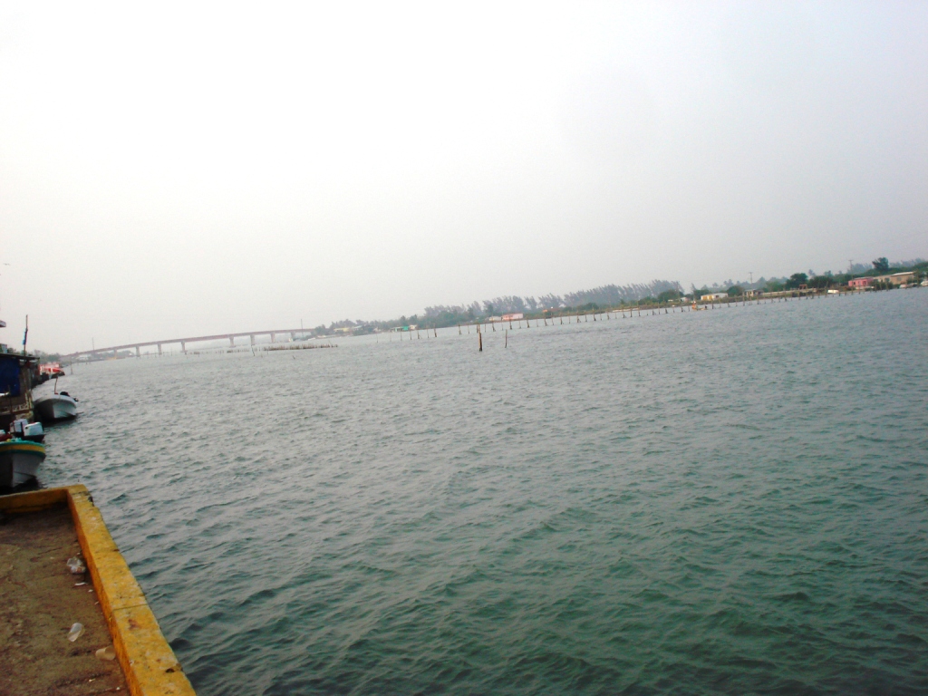
A fishing town at the south end of the 85 km Tamiahua lagoon, famous for oysters and seafood, with boat trips to the lagoon islands and Isla Lobos.
From Tuxpan: 45 min by car (42 km by road) How to get there ↓
Near here
See everything nearby ↓


Plan your visit to Tamiahua
Where to stay near Tamiahua
Compare hotels, posadas and guest houses in Tamiahua.
Tours to Tamiahua
Day trips around Papantla sometimes stop in Tamiahua; a tour is the easy way to see it without a car.
How to get to Tamiahua
- From Tuxpan: about 45 min by road (~42 km)
- Nearest airport: Poza Rica (PAZ), 2 h 45 min by car to Papantla
Links open a partner site. We may earn a commission if you book, at no cost to you.
About Tamiahua
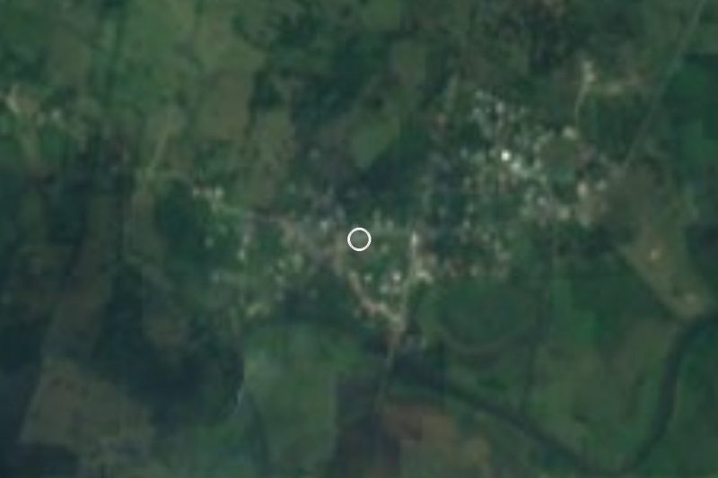
Tamiahua is a fishing town and municipal seat on the northern coast of Veracruz, at the southern end of the Tamiahua lagoon, only a few metres above sea level. The town had 4,908 people at the 2020 census. The lagoon is a long, shallow coastal lagoon about 85 km long and some 1,400 km² in area, cut off from the Gulf of Mexico by a long sand barrier that bulges out at Cabo Rojo; half its shores are lined with mangroves, and it joins the sea a little south of the town at Corazones. The name is explained either from Nahuatl, "land of maize flowers", or from Huastec, "place of much water".
Tamiahua was declared a villa in 1830 and passed to the state of Veracruz in 1853; in 1861 Benito Juárez decreed a canal through the lagoon to link Tuxpan and Tampico. Fishing has always been the heart of the town. About 40 species of fish live in the lagoon, along with shrimp, blue crab, clams and above all oysters: in the period 1970–1981 Tamiahua produced on average up to 65 per cent of Mexico's oyster catch, and oyster fishing has long been the first source of income for the local fishing cooperatives. Maize, beans, green chillies and oranges are grown inland.
Visitors come mainly to eat and to go out on the water. From the town's landing stages boats take people through the channels and mangroves, past the stakes of the fish and shellfish traps, out to the Barra de Corazones, a beach of fine sand on the open sea, or to the islands of the lagoon such as El Ídolo, Pájaros and Juan A. Ramírez, the largest; Isla del Toro can only be visited with a permit from the local navy. Tamiahua is also the closest port to Isla Lobos and its coral reef, about 18 nautical miles offshore. In the town centre stands the church of Santiago Apóstol el Pescador, and the local dishes to look for are the platillo tamiahuero of mixed seafood, peppered oysters, stuffed shrimp and huatape, a seafood stew thickened with corn dough.
How to get to Tamiahua
Drive from Tuxpan: 45 min, 42 km
Tamiahua is roughly 40–50 km north of Tuxpan by road, under an hour's drive. Boats to the lagoon islands and the Barra de Corazones leave from the town's landing stages; the trip out to Isla Lobos takes about an hour from Tamiahua, depending on the sea.
Directions to Tamiahua on Google Maps
Distances are in a straight line; the road is usually longer.
Links open a partner site. We may earn a commission if you book, at no cost to you.
From the nearest cities to Tamiahua
- Tuxpan · 42 km by road, 45 min
- Poza Rica · 98 km by road, 1 h 35 min
- Papantla · 123 km by road, 1 h 50 min
Drive times by road from OpenStreetMap, without traffic or stops. Times marked ~ are estimated from the straight-line distance.
Before you go to Tamiahua: hours, prices and tips
- Best season
- Holy Week with a Passion play; Señor de las Misericordias 25 May; Santiago Apóstol, the patron, 25 July; Day of the Dead 31 October–2 November; Virgin of Guadalupe 12 December; regional fishing fair from 25 December. Enciclopedia de los Municipios de México (INAFED) · checked Oct 2026
- Rules
- Isla del Toro in the lagoon can only be visited with a permit issued by the local navy (Marina). Wikipedia (es): Tamiahua · checked Oct 2026
Hours and prices change, especially around holidays. Each fact links to where we checked it.
Visiting Tamiahua: what to see and do
Take a boat from the town landing through the lagoon channels and mangroves.
Go out to the Barra de Corazones beach or the lagoon islands of El Ídolo and Pájaros.
Eat oysters, the platillo tamiahuero and huatape de mariscos in the town's seafood restaurants.
See the church of Santiago Apóstol el Pescador.
Use Tamiahua as the base for a boat trip to the reef of Isla Lobos.
Plan your trip
Places to stay in Tamiahua
Compare hotels, posadas, and rentals in and around Tamiahua.
Tours & activities
Day trips around Papantla sometimes stop in Tamiahua; a tour is the easy way to see it without a car.
Rental cars
Pick up a car at PAZ (Poza Rica): about 2 h 45 min by road to Papantla, then 93 km more to Tamiahua, on your own schedule.
Flights
The nearest airport with scheduled flights is Poza Rica (PAZ), about 2 h 45 min by road from Papantla, the base for Tamiahua.
Mobile data
Signal can drop away from Papantla: download a map of the way to Tamiahua before you set out, or carry an eSIM with data.
Links open a partner site. We may earn a commission if you book, at no cost to you.
Photos
When to go to Tamiahua warm
Tamiahua shares the climate of Papantla, 93 km away. The best months to visit are February, March, April, and December.
See the month-by-month climate of Papantla
Weather in Tamiahua now and the next 7 days
Live forecast from Open-Meteo. Chance of rain is the day's highest.
The closest Pueblo Mágico: Papantla

Papantla is the Pueblo Mágico closest to Tamiahua, with places to stay, food, and more to see.
Closest to Tamiahua
-
Naranjos · Town · 26 km away
-
Mamey la Mar · Village · 34 km away
-
Túxpam de Rodríguez Cano · City · 36 km away
-
Potrero del Llano · Village · 37 km away
-
Las Sabinas · Village · 45 km away
-
Laguna de Tamiahua · Lagoon · 47 km away
-
Chontla · Town · 49 km away

Near Tamiahua


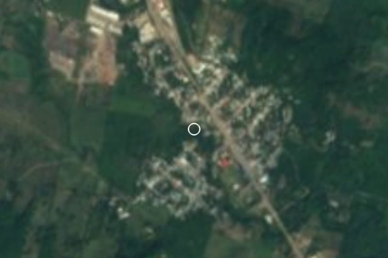





Drive times by road from OpenStreetMap, without traffic. Times marked ~ are estimated from the straight-line distance.
Location from OpenStreetMap. Written by Puebloteca.