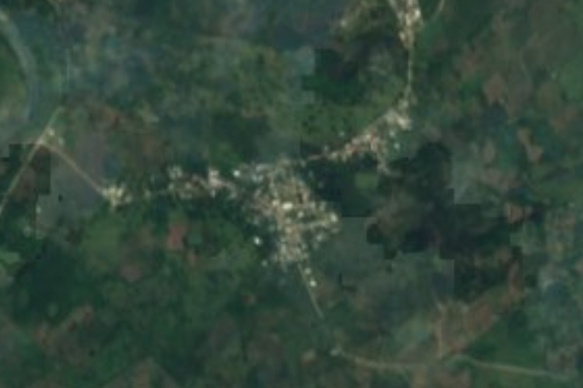
Village Pantepec, Puebla Sierra Norte de Puebla
Pantepec village at just 162 m, in the hot, rainy lowlands of northern Puebla, close to Veracruz and the Pantepec River.
From Poza Rica: 1 h by car (68 km by road) How to get there ↓
Near here
See everything nearby ↓



Plan your visit to Ameluca
Where to stay near Ameluca
Compare hotels, posadas and guest houses in Ameluca.
Tours to Ameluca
Day trips and guided outings from Xicotepec often include Ameluca; with a local guide you can get there without a car.
How to get to Ameluca
- From Poza Rica: about 1 h by road (~68 km)
- Nearest airport: Poza Rica (PAZ), 2 h 7 min by car to Xicotepec
Links open a partner site. We may earn a commission if you book, at no cost to you.
About Ameluca
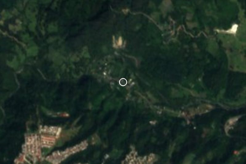
Few places in Puebla sit so low: Ameluca lies at just 162 m above sea level, at the northern tip of the state, where the mountains break up into hills and valleys already facing the Veracruz coastal plain. Its Nahuatl name joins amatl, amate tree, with the idea of ownership and the place suffix -can, and translates as "where there are amate trees". It had 1,191 people in 2020, slightly up from 1,126 in 2010, and lies about 13 km in a straight line from Pantepec, the municipal seat, 33 km from Xicotepec and 39 km from Poza Rica, the nearest city; the state capital is 174 km away in a straight line.
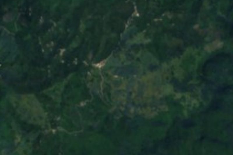
The municipality of Pantepec belongs to the Sierra Madre Oriental, in the band of low ranges of the Carso Huasteco, and borders Veracruz to the north and west. It is hot and very humid country: averages of 23 to 25 °C and 1,900 to 2,000 mm of rain a year, with heavy summer downpours and, in part of the territory, rain in every month. Everything drains to the Tuxpan basin through the Pantepec River, which rises in the mountains of Hidalgo, runs about 130 km and, on joining the Vinazco, forms the Tuxpan River, which reaches the Gulf. About 62% of the land is farmed, almost a quarter is grassland and the rest keeps its tropical forest.
The municipal population is very diverse: Totonac, Otomí, Tepehua, Nahuatl and other languages are spoken, by more than 6,700 speakers of Indigenous languages. In the seat, the parish church of San Juan Bautista dates from the 17th century. Local carpenters make furniture of mahogany, cedar and oak and parts for wooden sugar mills, and women weave and embroider the wool quechquémitl. People eat mole, pipián, tamales and zacahuil; for dessert, squash in panela, cassava and mango and guava preserves, with coffee, aguardiente and fruit wines. The music at fiestas is the huapango.
How to get to Ameluca
Drive from Poza Rica: 1 h, 68 km
From Puebla, the most direct bus option is from the CAPU to Poza Rica, Veracruz: ADO runs the route about four times a day and Autotransportes Tlaxcala-Apizaco-Huamantla roughly every four hours, taking about 3 h 30 min. Ameluca is some 39 km in a straight line from Poza Rica and 13 km from Pantepec; we found no published local transport schedule to the village, so a private vehicle or asking in Pantepec is the practical choice.
Directions to Ameluca on Google Maps
Distances are in a straight line; the road is usually longer.
Links open a partner site. We may earn a commission if you book, at no cost to you.
From the nearest cities to Ameluca
- Poza Rica · 68 km by road, 1 h
- Huauchinango · 69 km by road, 1 h
- Tuxpan · 87 km by road, 1 h 10 min
Drive times by road from OpenStreetMap, without traffic or stops. Times marked ~ are estimated from the straight-line distance.
Visiting Ameluca: what to see and do
The hills, pastures and forest around Ameluca.
The Pantepec River, heading for Veracruz and the Tuxpan.
The 17th-century parish church of San Juan Bautista in Pantepec.
Huapango music and zacahuil at local fiestas.
Plan your trip
Places to stay in Ameluca
Compare hotels, posadas, and rentals in and around Ameluca.
Tours & activities
Day trips and guided outings from Xicotepec often include Ameluca; with a local guide you can get there without a car.
Rental cars
Pick up a car at PAZ (Poza Rica): about 2 h 7 min by road to Xicotepec, then 33 km more to Ameluca, on your own schedule.
Flights
The nearest airport with scheduled flights is Poza Rica (PAZ), about 2 h 7 min by road from Xicotepec, the base for Ameluca.
Mobile data
Signal can drop away from Xicotepec: download a map of the way to Ameluca before you set out, or carry an eSIM with data.
Links open a partner site. We may earn a commission if you book, at no cost to you.
When to go to Ameluca mild
Ameluca shares the climate of Xicotepec, 33 km away. The best months to visit are January, February, March, and December.
See the month-by-month climate of Xicotepec
Weather in Ameluca now and the next 7 days
Live forecast from Open-Meteo. Chance of rain is the day's highest.
The closest Pueblo Mágico: Xicotepec

Xicotepec is the Pueblo Mágico closest to Ameluca, with places to stay, food, and more to see.
Also close to
- Pahuatlán · Puebla · 46 km away
- Huauchinango · Puebla · 49 km away
- Zozocolco · Veracruz · 53 km away
- Papantla · Veracruz · 54 km away
- Acaxochitlán · Hidalgo · 60 km away
Closest to Ameluca
-
Mecapalapa · Village · 5 km away
-
Apapantilla · Village · 18 km away
-
Ciudad de Lázaro Cárdenas · Town · 18 km away
-
Venustiano Carranza · Village · 18 km away
-
Metlaltoyuca · Town · 19 km away
-
Villa Ávila Camacho (La Ceiba) · Town · 20 km away
-
La Lagunilla · Village · 26 km away
-
Tlaxco · Village · 26 km away
Near Ameluca






Drive times by road from OpenStreetMap, without traffic. Times marked ~ are estimated from the straight-line distance.
Location from OpenStreetMap. Written by Puebloteca.