Village Citlaltépetl, Veracruz Huasteca Veracruzana
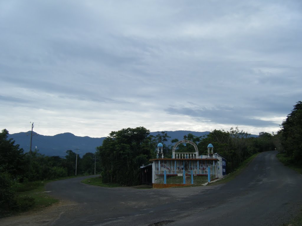
Second-largest village of Citlaltépetl, at the foot of the Sierra de Otontepec in the Veracruz Huasteca; it honours Saints Peter and Paul every 29 June.
From Tuxpan: 1 h 20 min by car (89 km by road) How to get there ↓
Near here
See everything nearby ↓



Plan your visit to Las Sabinas
Where to stay near Las Sabinas
Compare hotels, posadas and guest houses in Las Sabinas.
Tours to Las Sabinas
Day trips and guided outings from Veracruz often include Las Sabinas; with a local guide you can get there without a car.
How to get to Las Sabinas
- From Tuxpan: about 1 h 20 min by road (~89 km)
Links open a partner site. We may earn a commission if you book, at no cost to you.
About Las Sabinas
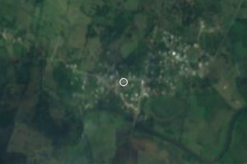
Las Sabinas is the second most populous locality in the municipality of Citlaltépetl, in northern Veracruz, a few minutes from the municipal seat. It sits 242 metres above sea level in the foothills of the Sierra de Otontepec, the northern Veracruz mountain shared by several Huasteca municipalities; maps show the Sierra de Otontepec Ecological Reserve and the Tanquián River a short distance from the village.
29 June is its day: Las Sabinas celebrates the feast of Saints Peter and Paul. The rest of the municipal calendar is worth knowing too, with the La Ceiba fair on 3 May, Corpus Christi in June, Santiago Apóstol on 25 July and the regional fair of San Nicolás de Tolentino, the municipality's patron, on 10 September in the seat.
In 2020 it had 1,252 residents, against 167 in 1900; most of the growth came between 1940 and 1990. This was Huastec country, and the Mexica kept a military outpost here; the municipality was created in 1872 out of the congregación of San Nicolás. Most people in the municipality identify as being of Indigenous descent, and some speak Nahuatl.
The climate is hot, averaging close to 26 °C with about 1,600 mm of rain a year. Mobile signal reaches most homes, but home internet is almost non-existent.
How to get to Las Sabinas
Drive from Tuxpan: 1 h 20 min, 89 km
From the seat of Citlaltépetl it is about 3.7 km and 5 minutes on the state road and Avenida Promotores. From Naranjos it is about 27 km and half an hour by state road via Bocanegra. From Cerro Azul it is about 52 km, some 55 minutes: Federal Highway 180 north and then state roads. From Tuxpan it is about 100 km and roughly an hour and a half on the 180D toll road and the Naranjos route, and from Poza Rica, the nearest large city, about 133 km and around two hours. Papantla, the nearest Pueblo Mágico, is more than two hours away. Long-distance bus lines reach Tuxpan and Poza Rica; we found no published timetable for local transport to Las Sabinas, so ask in Naranjos or in the municipal seat.
Directions to Las Sabinas on Google Maps
Distances are in a straight line; the road is usually longer.
Links open a partner site. We may earn a commission if you book, at no cost to you.
From the nearest cities to Las Sabinas
- Tuxpan · 89 km by road, 1 h 20 min
- Poza Rica · 134 km by road, 1 h 55 min
- Tampico · 124 km by road, 2 h
Drive times by road from OpenStreetMap, without traffic or stops. Times marked ~ are estimated from the straight-line distance.
Visiting Las Sabinas: what to see and do
The feast of Saints Peter and Paul, 29 June.
The Sierra de Otontepec and its ecological reserve.
The Tanquián River, near the village.
The San Nicolás de Tolentino fair in the municipal seat, 10 September.
Plan your trip
Places to stay in Las Sabinas
Compare hotels, posadas, and rentals in and around Las Sabinas.
Tours & activities
Day trips and guided outings from Veracruz often include Las Sabinas; with a local guide you can get there without a car.
Mobile data
Signal can drop away from Veracruz: download a map of the way to Las Sabinas before you set out, or carry an eSIM with data.
Links open a partner site. We may earn a commission if you book, at no cost to you.
Closest to Las Sabinas
-
Chontla · Town · 5 km away
-
Naranjos · Town · 21 km away
-
Potrero del Llano · Village · 31 km away
-
Mamey la Mar · Village · 33 km away
-
Tzacuala · Village · 43 km away
-
Tamiahua · Town · 45 km away
-
Chicontepec · Town · 49 km away
-
Tamoyón I · Village · 50 km away


Near Las Sabinas








Drive times by road from OpenStreetMap, without traffic. Times marked ~ are estimated from the straight-line distance.
Location from OpenStreetMap. Written by Puebloteca.