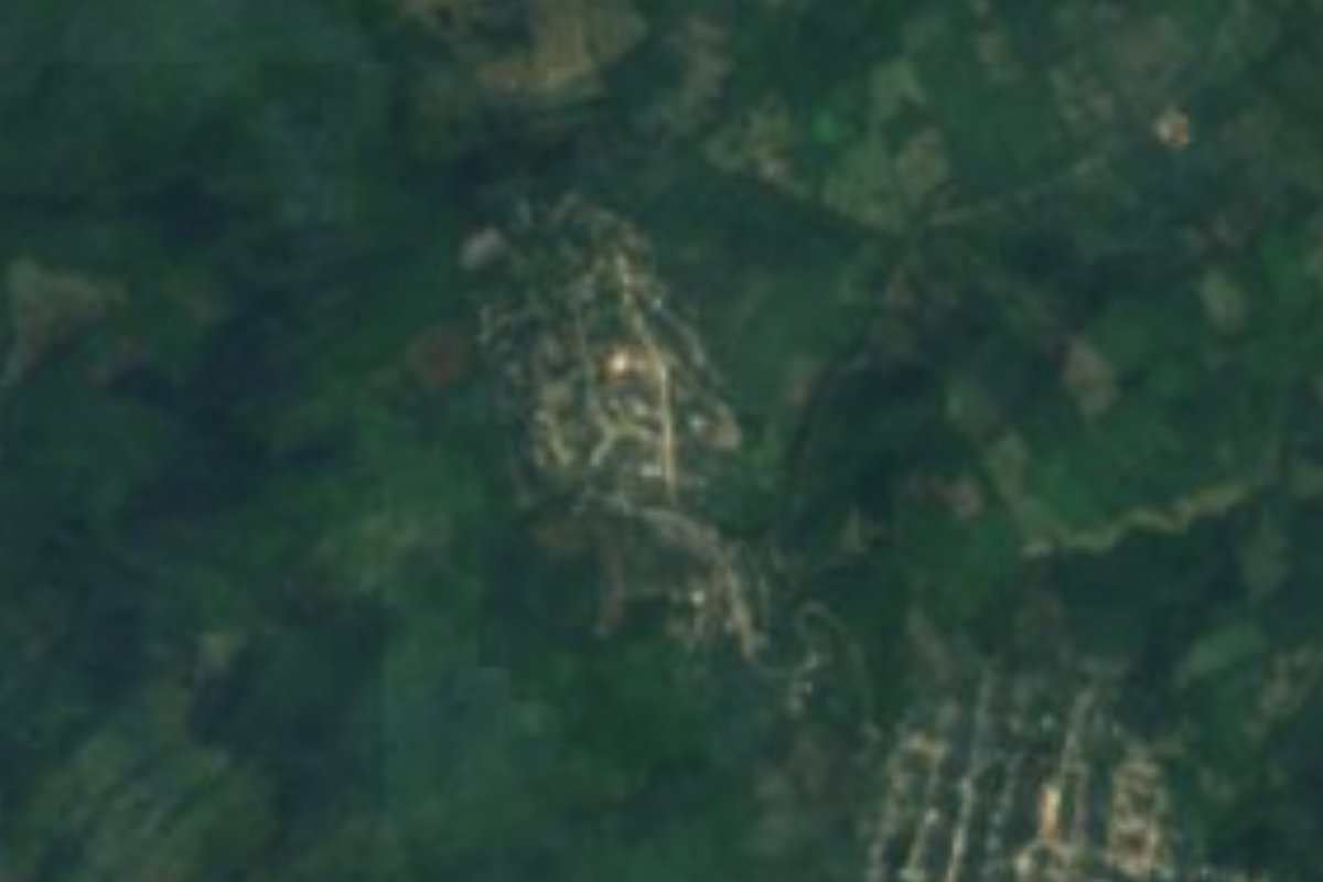
Village Huautla, Hidalgo Municipality of Huautla Hidalgo Huasteca
A village of 532 people at 194 m, about 10 km northeast of Huautla in the Calabozo river basin of the Hidalgo Huasteca.
From Tuxpan: 1 h 55 min by car (117 km by road) How to get there ↓
Near here
See everything nearby ↓



Plan your visit to Tzacuala
Where to stay near Tzacuala
Compare hotels, posadas and guest houses in Tzacuala.
Tours to Tzacuala
Day trips and guided outings from Metztitlán often include Tzacuala; with a local guide you can get there without a car.
 Tours from Xilitla
Surrealist Garden of Edward James, Castle of Health and Xilitla Nativity
★ 4.3 (10) · From US$100
How to get to Tzacuala
- From Tuxpan: about 1 h 55 min by road (~117 km)
- Nearest airport: Mexico City (Felipe Ángeles) (NLU), 2 h 18 min by car to Metztitlán
Links open a partner site. We may earn a commission if you book, at no cost to you.
Tours from Xilitla, near Tzacuala


Tours, prices and ratings from Viator, checked weekly. We may earn a commission if you book.
About Tzacuala
Tzacuala lies in the Hidalgo Huasteca at just 194 metres above sea level, about 10 km northeast of Huautla, the municipal seat. The terrain belongs to the Sierra Madre Oriental, Carso Huasteco subprovince, and its waters drain to the Moctezuma basin, on the border of the Calabozo river subbasins.
The climate is warm-humid with heavy summer rain. In 2020 it had 532 residents (250 men and 282 women) in 155 homes, 2.57% of the municipal population. INEGI rates its marginalization as high and its social lag as medium.
The Calabozo river carries weight in the area's history: along its banks, in Huautla communities such as Tamoyón and Coatzonco, there are tzacualme, stone mounds with circular bases that show continuous human occupation since at least the Late Classic, around AD 800 or 900. Tzacuala itself is a small rural village with no attractions of its own. It is not the Santa Ana Tzacuala of the dam, which is in the municipality of Acaxochitlán.
How to get to Tzacuala
Drive from Tuxpan: 1 h 55 min, 117 km
Tzacuala lies about 10 km (10.35 according to Wikipedia) northeast of Huautla, the municipal seat, which is the starting point: ask there for the road and transport out to the village.
In a straight line Poza Rica (Veracruz) is about 103 km away and Metztitlán about 80 km (at least about 120 and 90 minutes; by road it will be more). Do not confuse it with Santa Ana Tzacuala, which is in another municipality, so when asking say "Tzacuala, in Huautla".
Directions to Tzacuala on Google Maps
Distances are in a straight line; the road is usually longer.
Links open a partner site. We may earn a commission if you book, at no cost to you.
From the nearest cities to Tzacuala
- Tuxpan · 117 km by road, 1 h 55 min
- Huauchinango · about 135 km by road, ~2 h
- Tulancingo · about 150 km by road, ~2 h 10 min
Drive times by road from OpenStreetMap, without traffic or stops. Times marked ~ are estimated from the straight-line distance.
Before you go to Tzacuala: hours, prices and tips
- Best season
- Heavy rain falls in summer; the climate is warm-humid. Wikipedia: Tzacuala · checked Oct 2026
Hours and prices change, especially around holidays. Each fact links to where we checked it.
Visiting Tzacuala: what to see and do
The Calabozo river, which shapes the geography of Huautla municipality
The tzacualme (circular stone mounds) along the Calabozo's banks, in neighbouring Huautla communities such as Tamoyón and Coatzonco
Huautla, the municipal seat, on a plateau beside the river
Plan your trip
Places to stay in Tzacuala
Compare hotels, posadas, and rentals in and around Tzacuala.
Tours & activities
Day trips and guided outings from Metztitlán often include Tzacuala; with a local guide you can get there without a car.
Rental cars
Pick up a car at NLU (Mexico City (Felipe Ángeles)): about 2 h 18 min by road to Metztitlán, then 80 km more to Tzacuala, on your own schedule.
Flights
The nearest airport with scheduled flights is Mexico City (Felipe Ángeles) (NLU), about 2 h 18 min by road from Metztitlán, the base for Tzacuala.
Mobile data
Signal can drop away from Metztitlán: download a map of the way to Tzacuala before you set out, or carry an eSIM with data.
Links open a partner site. We may earn a commission if you book, at no cost to you.
When to go to Tzacuala mild
Tzacuala shares the climate of Metztitlán, 80 km away. The best months to visit are January, February, March, and December.
See the month-by-month climate of Metztitlán
Weather in Tzacuala now and the next 7 days
Live forecast from Open-Meteo. Chance of rain is the day's highest.
The closest Pueblo Mágico: Metztitlán

Metztitlán is the Pueblo Mágico closest to Tzacuala, with places to stay, food, and more to see.
Closest to Tzacuala
-
Ahuehuetl · Village · 9 km away
-
Huautla · Village · 10 km away
-
Tamoyón I · Village · 10 km away
-
Huazalinguillo · Village · 13 km away
-
Atlapexco · Village · 16 km away
-
Chicontepec · Town · 16 km away
-
Zacatipa · Village · 17 km away
-
Huejutla de Reyes · Town · 20 km away


Near Tzacuala







Drive times by road from OpenStreetMap, without traffic. Times marked ~ are estimated from the straight-line distance.
Location from OpenStreetMap. Written by Puebloteca.