City Altamira, Tamaulipas Municipality of Altamira
The fastest-growing city around Tampico: 161,820 people between the Miralta and Miramar lagoons, with a road out to Dunas Doradas beach.
From Tampico: 20 min by car (17 km by road) How to get there ↓
Near here
See everything nearby ↓


Plan your visit to Miramar
Where to stay near Miramar
Compare hotels, posadas and guest houses in Miramar.
Tours to Miramar
Day trips and guided outings from Tamaulipas often include Miramar; with a local guide you can get there without a car.
Links open a partner site. We may earn a commission if you book, at no cost to you.
About Miramar
Miramar is the largest town in the municipality of Altamira and one of the fastest-growing places in Tamaulipas. In the 1980s it was a rural settlement of fewer than 2,000 people; the 2020 census counted 161,820, which makes it the seventh-largest city in the state, ahead of Río Bravo. The reason is geography. Tampico ran out of municipal land to build on, so most newcomers to the metropolitan area end up in Altamira's large territory just to the north, and Miramar is where they settle. It is expected to overtake Tampico as the biggest city of the conurbation within a few decades.
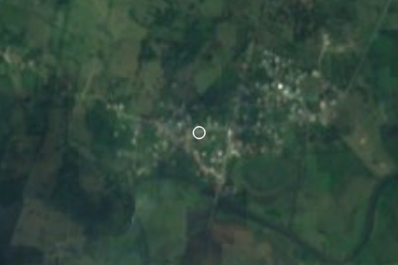
The city covers about 33 km² of flat ground 11 metres above sea level, squeezed between bodies of water: the Miralta lagoon to the west, the Miramar and El Gringo lagoons to the east, and beyond them the Gulf dunes. To the south it runs into Ciudad Madero and Tampico without a visible break, and to the north into the town of Altamira itself. The climate is tropical and subhumid, averaging 24.5 °C a year with about 976 mm of rain.
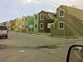
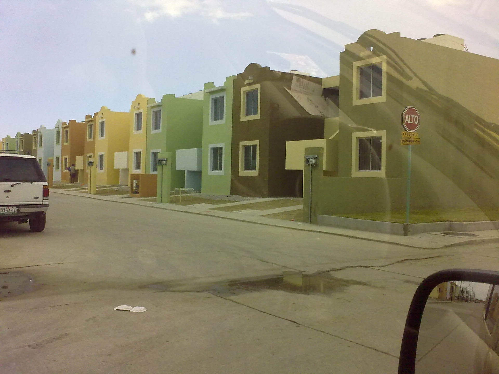
For visitors Miramar is the northern side of the metro area: new housing estates of brightly painted terraced houses, shopping avenues and quick access to the coast. Fourth Avenue in Colonia Miramar, off the Tampico–Altamira highway, leads down to Dunas Doradas beach, quieter than Madero's crowded Playa Miramar. Beside kilometre 20 of the same highway lies the Miralta lagoon, ringed by a residential development with a golf course, where people fish and do water sports.
How to get to Miramar
Drive from Tampico: 20 min, 17 km
Miramar starts where Tampico ends: from central Tampico it is about 15 km, 15 to 25 minutes depending on traffic, along federal highway 80, which here is the Tampico–Altamira highway and crosses the city from south to north. Tampico's international airport is on the way. Tampico's bus station is served by ADO, Ómnibus de México and Futura. From Ciudad Victoria it is about 225 km, just over 3 hours. The nearest Pueblo Mágico is Aquismón in the Huasteca Potosina, about 180 km (close to 3 hours) by highway 70 via Ciudad Valles.
Directions to Miramar on Google Maps
Distances are in a straight line; the road is usually longer.
Links open a partner site. We may earn a commission if you book, at no cost to you.
From the nearest cities to Miramar
- Tampico · 17 km by road, 20 min
- Ciudad Mante · 149 km by road, 2 h 15 min
- Ciudad Valles · about 160 km by road, ~2 h 20 min
Drive times by road from OpenStreetMap, without traffic or stops. Times marked ~ are estimated from the straight-line distance.
Visiting Miramar: what to see and do
Walk the shore of the Miralta lagoon beside kilometre 20 of the Tampico–Altamira highway.
Head down to Dunas Doradas beach via Fourth Avenue in Colonia Miramar.
Look out over the Miramar and El Gringo lagoons on the east side of the city.
Use Miramar as a base for Ciudad Madero's Playa Miramar and Tampico's historic centre.
Plan your trip
Places to stay in Miramar
Compare hotels, posadas, and rentals in and around Miramar.
Tours & activities
Day trips and guided outings from Tamaulipas often include Miramar; with a local guide you can get there without a car.
Mobile data
Signal can drop away from Tamaulipas: download a map of the way to Miramar before you set out, or carry an eSIM with data.
Links open a partner site. We may earn a commission if you book, at no cost to you.
Closest to Miramar
-
Altamira · City · 9 km away
-
Ciudad Madero · City · 10 km away
-
Laguna de Champayán · Lake · 13 km away
Near Miramar



Drive times by road from OpenStreetMap, without traffic. Times marked ~ are estimated from the straight-line distance.
Location from OpenStreetMap. Written by Puebloteca.