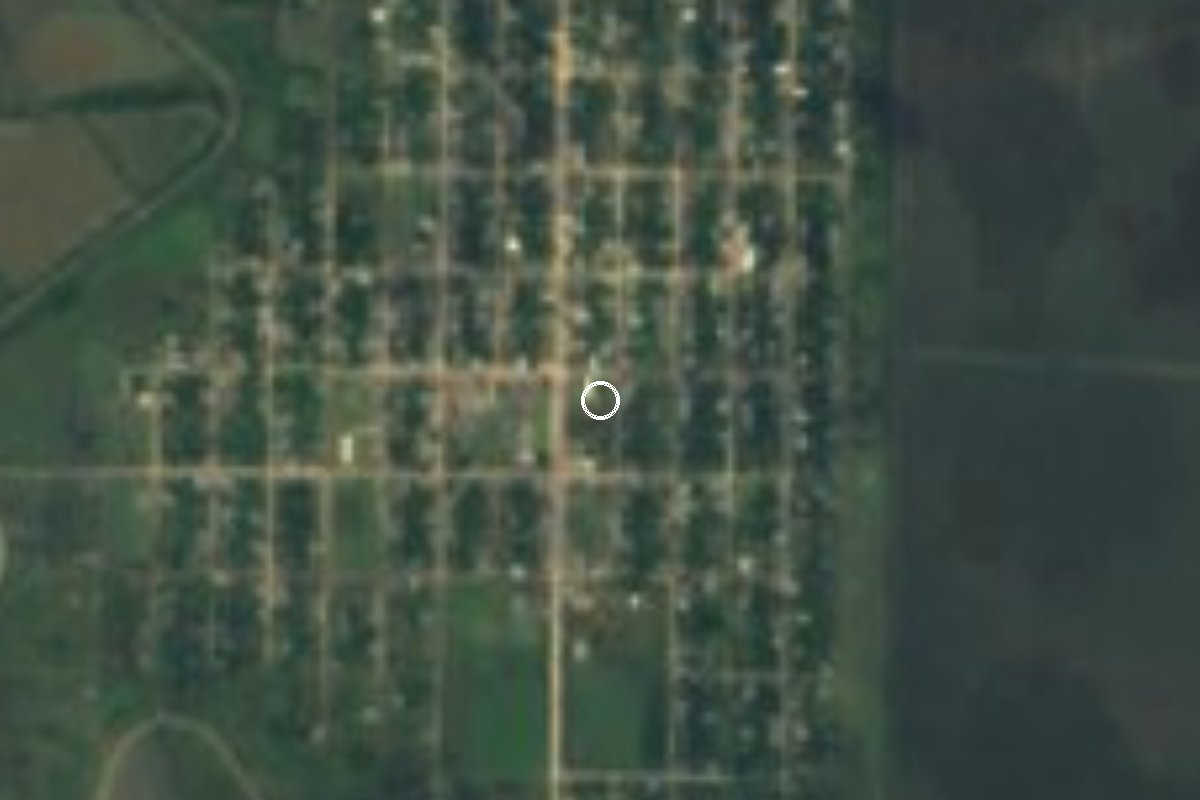
Village Pánuco, Veracruz Huasteca Veracruzana
A Huasteca Alta village in the far north-west of Pánuco, near the Tamaulipas line; the road in passes through Ébano in San Luis Potosí.
From Tampico: 1 h 45 min by car (93 km by road) How to get there ↓
Plan your visit to Guayalejo
Where to stay near Guayalejo
Compare hotels, posadas and guest houses in Guayalejo.
Tours to Guayalejo
Day trips and guided outings from Veracruz often include Guayalejo; with a local guide you can get there without a car.
Links open a partner site. We may earn a commission if you book, at no cost to you.
About Guayalejo
Guayalejo lies in the most remote corner of the Pánuco municipality, in the Huasteca Alta of northern Veracruz: about 48 km in a straight line north-west of the municipal seat, close to where Veracruz meets Tamaulipas and San Luis Potosí. It is low, hot country, some 35 metres above sea level, with an annual mean temperature of 24 °C.
The name is usually read as a Spanish corruption meaning something like "little place of guaje gourds".
The 2020 census counted 2,351 people in 680 homes, which still makes it one of the largest of the more than 750 localities in the municipality; in 2005, with 2,757 residents, it was already listed among Pánuco's main settlements, and it has been losing people since. The oddest thing for drivers is the way in: you do not reach it on a Veracruz road at all, but leave the state and go round through Ébano in San Luis Potosí.
How to get to Guayalejo
Drive from Tampico: 1 h 45 min, 93 km
From Pánuco it is about 72 km and 1 h 20 min: leave on Federal Highway 127 (Alazán–Canoas), join Federal Highway 70 (Tampico–Ciudad Valles) westbound to Ébano in San Luis Potosí, and there take state road 39 towards Estación Manuel; after about 22 km on it, a local road of some 7 km leads to Guayalejo. From Tampico the route follows the same Highway 70 to Ébano, about 96 km in all (roughly 1 h 50 min). From Ébano the last stretch is about 33 km and 45 minutes. We found no published bus service to the village.
Directions to Guayalejo on Google Maps
Distances are in a straight line; the road is usually longer.
Links open a partner site. We may earn a commission if you book, at no cost to you.
From the nearest cities to Guayalejo
- Tampico · 93 km by road, 1 h 45 min
- Ciudad Mante · 92 km by road, 1 h 55 min
- Ciudad Valles · 119 km by road, 2 h
Drive times by road from OpenStreetMap, without traffic or stops. Times marked ~ are estimated from the straight-line distance.
Visiting Guayalejo: what to see and do
Take the drive across the Huasteca plain between Ébano and the Tamaulipas line.
See a Huasteca Alta village far from any tourist route.
Combine it with Tampico or the town of Pánuco on the same trip.
Plan your trip
Places to stay in Guayalejo
Compare hotels, posadas, and rentals in and around Guayalejo.
Tours & activities
Day trips and guided outings from Veracruz often include Guayalejo; with a local guide you can get there without a car.
Mobile data
Signal can drop away from Veracruz: download a map of the way to Guayalejo before you set out, or carry an eSIM with data.
Links open a partner site. We may earn a commission if you book, at no cost to you.
Near Guayalejo


Drive times by road from OpenStreetMap, without traffic. Times marked ~ are estimated from the straight-line distance.
Location from OpenStreetMap. Written by Puebloteca.