
Town Gutiérrez Zamora, Veracruz Totonacapan Costa Esmeralda (Veracruz)
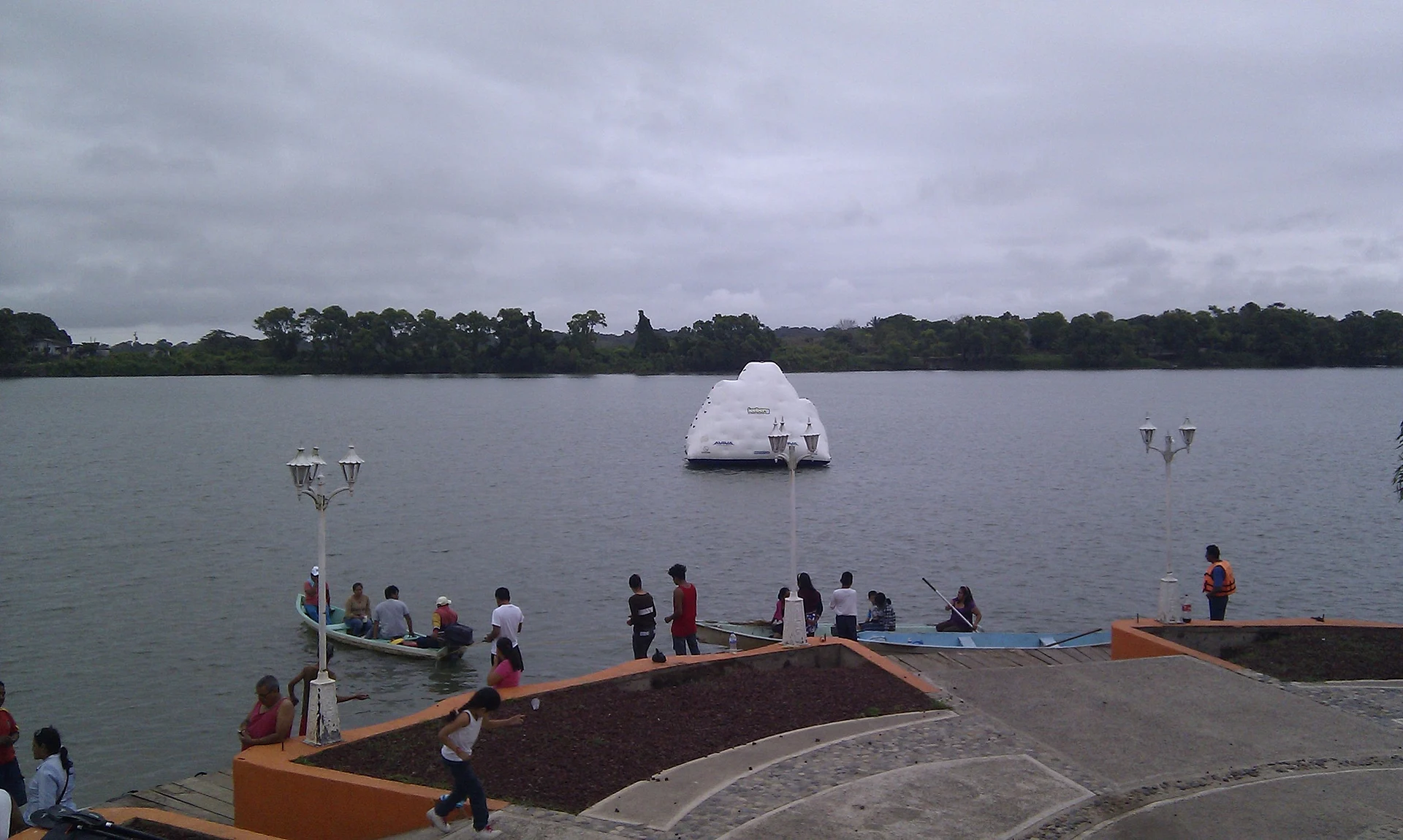
A riverside town on the way to Tecolutla, home to some of the oldest vanilla-curing businesses in the region.
From Papantla: 30 min by car (30 km by road) How to get there ↓
Near here
See everything nearby ↓



Plan your visit to Gutiérrez Zamora
Tours to Gutiérrez Zamora
Day trips around Papantla sometimes stop in Gutiérrez Zamora; a tour is the easy way to see it without a car.
How to get to Gutiérrez Zamora
- From Papantla: about 30 min by road (~30 km)
- 25 km east of Papantla
- Nearest airport: Poza Rica (PAZ), 2 h 45 min by car to Papantla
Links open a partner site. We may earn a commission if you book, at no cost to you.
About Gutiérrez Zamora
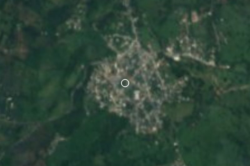
Gutiérrez Zamora is a river town about 25 kilometers east of Papantla, on the road to Tecolutla. It grew up in the 19th century on the banks of the Tecolutla River, and Italian immigrant families who arrived from 1858 played a large part in its founding; local history calls it the oldest Italian colony in Veracruz. The municipality was created in 1877 and named after Manuel Gutiérrez Zamora, a governor of the state.
The town's fortunes were tied to vanilla. The Totonac people of this region were growing the orchid long before the Spanish arrived, and Gutiérrez Zamora became the place where vanilla from the Papantla area was cured and shipped out by river. Some of the oldest vanilla companies in Mexico are still based here, and in the surrounding farms the vines grow up the trunks of shade trees, as they have for generations.
Today it is a working town rather than a tourist stop, but it is worth a pause on the way to the coast. The Tecolutla River is wide and green here, with boat trips into mangroves where crocodiles are sometimes seen. The main fair honors the Virgen del Carmen around July 16, and the town has also held a tarpon fishing tournament on the river. Look for local dishes like pulacle, a Totonac stew, and huatape, a corn-thickened shrimp soup.
How to get to Gutiérrez Zamora
Drive from Papantla: 30 min, 30 km
Gutiérrez Zamora is about 30 minutes east of Papantla by car on Highway 180. Buses between Papantla and Tecolutla usually pass through the town, so it is easy to stop here on the way to the beach.
25 km east of Papantla
Directions from Papantla on Google Maps
Distances are in a straight line; the road is usually longer.
Links open a partner site. We may earn a commission if you book, at no cost to you.
From the nearest cities to Gutiérrez Zamora
- Papantla · 30 km by road, 30 min
- Poza Rica · 57 km by road, 55 min
- Martínez de la Torre · 84 km by road, 1 h 10 min
Drive times by road from OpenStreetMap, without traffic or stops. Times marked ~ are estimated from the straight-line distance.
Before you go to Gutiérrez Zamora: hours, prices and tips
- Best season
- The town fair for the Virgen del Carmen peaks on July 16, with a farm and trade fair in the centre; on November 1 and 2 families set up Day of the Dead altars. Veracruz tourism · checked Oct 2026
Hours and prices change, especially around holidays. Each fact links to where we checked it.
Visiting Gutiérrez Zamora: what to see and do
Buy vanilla beans or extract from local producers, and ask whether any curing house is open to visitors.
Take a boat ride on the Tecolutla River into the mangroves.
Try pulacle, huatape de camarón and tamales at the market or a local fonda.
Come for the Virgen del Carmen fair around July 16.
Plan your trip
Places to stay in Gutiérrez Zamora
Hotel Boutique Finca Santa Luisa Hotel · ★★★ · 2.1 km from the center Find on Expedia Hotel Puerto Alegre Hotel · ★★★ · 7.7 km from the center Find on Expedia Hotchtel Glamping Hotel · ★★ · 7.8 km from the center Find on Expedia Hotel Anita Hotel · ★★ · 7.9 km from the center Find on Expedia Hotel Playa Los Wiwiriskis Hotel · 7.8 km from the center Find on Expedia Hotel Lhasa Hotel · 7.9 km from the center Find on ExpediaTours & activities
Day trips around Papantla sometimes stop in Gutiérrez Zamora; a tour is the easy way to see it without a car.
Rental cars
Pick up a car at PAZ (Poza Rica): about 2 h 45 min by road to Papantla, then 25 km more to Gutiérrez Zamora, on your own schedule.
Flights
The nearest airport with scheduled flights is Poza Rica (PAZ), about 2 h 45 min by road from Papantla, the base for Gutiérrez Zamora.
Mobile data
Signal can drop away from Papantla: download a map of the way to Gutiérrez Zamora before you set out, or carry an eSIM with data.
Links open a partner site. We may earn a commission if you book, at no cost to you. Hotel names from OpenStreetMap.
When to go to Gutiérrez Zamora warm
Gutiérrez Zamora shares the climate of Papantla, 25 km away. The best months to visit are February, March, April, and December.
See the month-by-month climate of Papantla
Weather in Gutiérrez Zamora now and the next 7 days
Live forecast from Open-Meteo. Chance of rain is the day's highest.
Make Papantla your base

Gutiérrez Zamora is an easy trip from Papantla, a Pueblo Mágico with places to stay, food, and more to see.
Also close to
- Zozocolco · Veracruz · 62 km away
- Cuetzalan · Puebla · 66 km away
- Teziutlán · Puebla · 72 km away
- Tlatlauquitepec · Puebla · 79 km away
Closest to Gutiérrez Zamora
-
Tecolutla · Town · 8 km away
-
Cuyuxquihui · Archaeological site · 24 km away
-
El Volador · Village · 27 km away · Veracruz
-
El Tajín · Archaeological site · 30 km away
-
Costa Esmeralda · Beach · 31 km away
-
Barra de Cazones · Beach · 33 km away
-
San José Acateno · Village · 38 km away · Puebla
-
Poza Rica de Hidalgo · City · 39 km away · Veracruz


Near Gutiérrez Zamora



Drive times by road from OpenStreetMap, without traffic. Times marked ~ are estimated from the straight-line distance.
Something wrong or missing on this page? Suggest a fix or addition
Location from OpenStreetMap. Written by Puebloteca.