


Town Tecolutla, Veracruz Totonacapan Costa Esmeralda (Veracruz)
Papantla's nearest beach town, at a river mouth on the Gulf, with a sea turtle camp and boat trips into the mangroves.
From Papantla: 40 min by car (41 km by road) How to get there ↓
Near here
See everything nearby ↓



Plan your visit to Tecolutla
Tours to Tecolutla
Day trips around Papantla sometimes stop in Tecolutla; a tour is the easy way to see it without a car.
How to get to Tecolutla
- From Papantla: about 40 min by road (~41 km)
- 33 km east of Papantla
- Nearest airport: Poza Rica (PAZ), 2 h 45 min by car to Papantla
Links open a partner site. We may earn a commission if you book, at no cost to you.
About Tecolutla
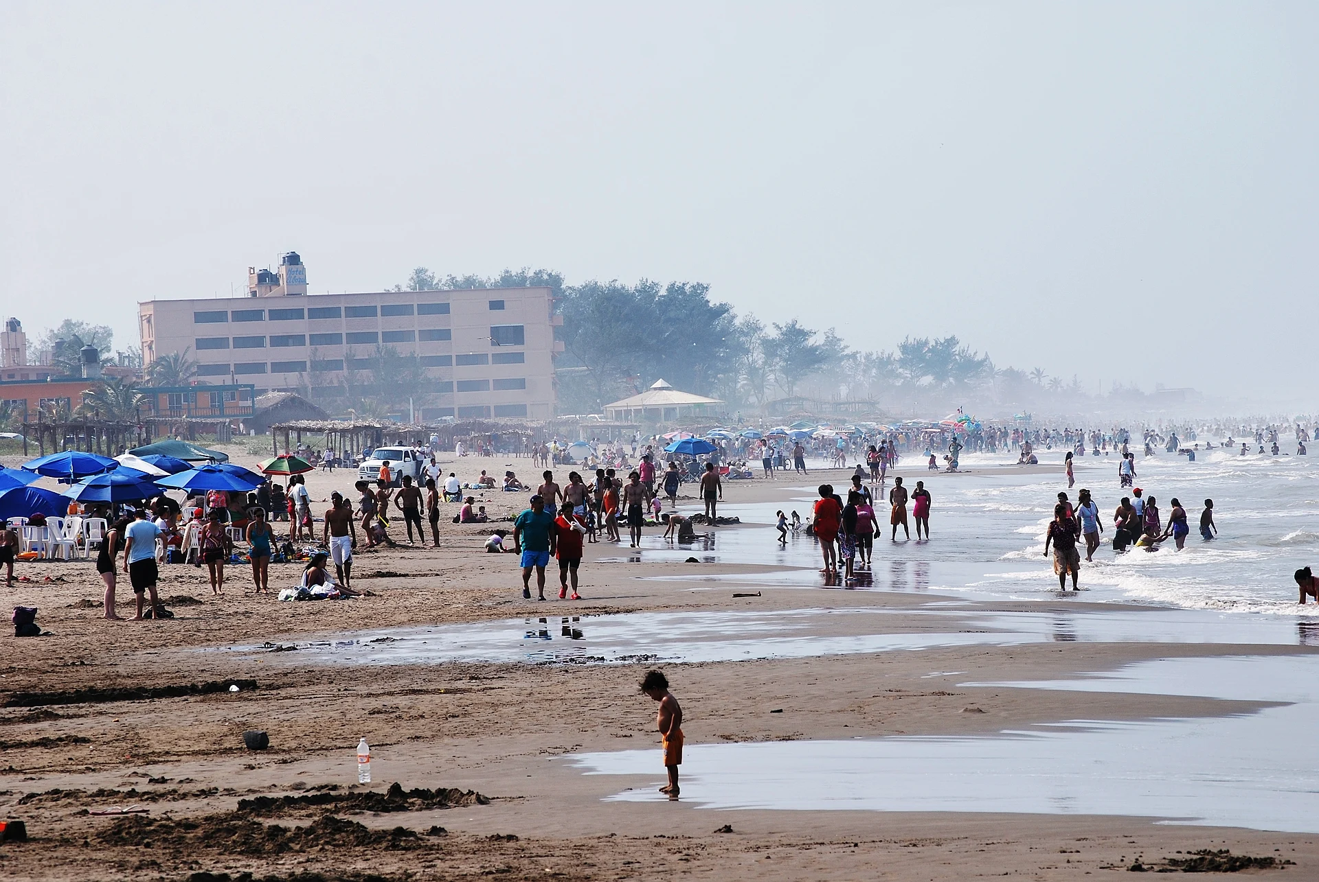
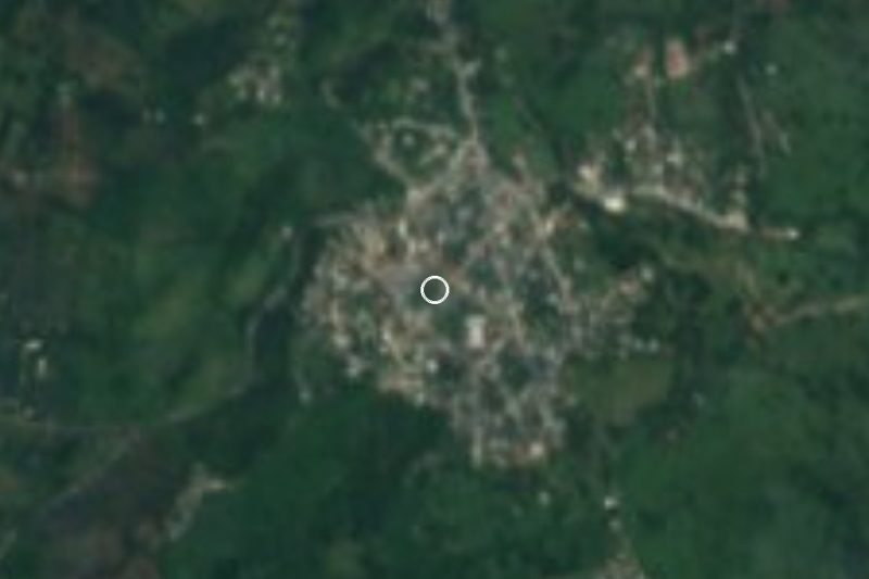
Tecolutla is the beach town people from Papantla head to on weekends and holidays, about 40 kilometers to the east. It sits where the Tecolutla River meets the Gulf of Mexico, so on one side of town there is open sea and on the other a wide river edged with mangroves. It marks the northern end of the stretch of coast known as the Costa Esmeralda.
The beach is long, flat and sandy, with palapa restaurants serving fish, shrimp and seafood cocktails. The water is warm for most of the year, but the Gulf can have strong currents, so watch the flags and swim near other people. The town gets very busy during Semana Santa and the summer holidays and is much quieter the rest of the time.
Tecolutla is also known for the Vida Milenaria sea turtle camp, a community project that has protected nests on this beach for decades, collecting eggs and releasing the hatchlings back to the sea in the warmer months. Local cooperatives run boat trips through the mangroves of the estuary, where you can see herons, kingfishers and other water birds. The town also holds a coconut festival, and in 1998 it made a cocada that set a Guinness record for its length.
How to get to Tecolutla
Drive from Papantla: 40 min, 41 km
Tecolutla is about 45 minutes to an hour from Papantla by car: take Highway 180 east to Gutiérrez Zamora and follow the signs to the coast. Second-class buses also connect Papantla with Tecolutla; check the schedule at the terminal, as departures are less frequent outside the holidays.
33 km east of Papantla
Directions from Papantla on Google Maps
Distances are in a straight line; the road is usually longer.
Links open a partner site. We may earn a commission if you book, at no cost to you.
From the nearest cities to Tecolutla
- Papantla · 41 km by road, 40 min
- Poza Rica · 67 km by road, 1 h 5 min
- Martínez de la Torre · 94 km by road, 1 h 20 min
Drive times by road from OpenStreetMap, without traffic or stops. Times marked ~ are estimated from the straight-line distance.
Before you go to Tecolutla: hours, prices and tips
- Best season
- Baby turtles are released from May to November, usually at dusk, though not every day; August brings sea water around 29 °C and the San Bartolomé fair (patron saint's day August 24). The Coconut Festival is in February. ADN40 / Veracruz tourism · checked Oct 2026
- Guide or tour
- A local cooperative runs boat trips into the mangroves from the river piers (about 1.5 hours, daily 9 am to 6 pm). Tours: Viator GetYourGuide Zona Turística · checked Oct 2026
Hours and prices change, especially around holidays. Each fact links to where we checked it.
Visiting Tecolutla: what to see and do
Spend the day on the beach and eat seafood at one of the palapa restaurants on the sand.
Take a boat trip with a local cooperative through the mangroves of the Tecolutla River estuary.
Visit the Vida Milenaria turtle camp; in the warmer months you may be able to join a hatchling release.
Walk to the river mouth at sunset and watch the fishing boats come in.
Plan your trip
Places to stay in Tecolutla
Kayam Hotel Boutique Hotel · ★★★ · 180 m from the center Find on Expedia Hotel Real del Mar Hotel · ★★★ · 220 m from the center Find on Expedia Hotel Plaza Hotel · 80 m from the center Find on Expedia Hotel Gil-Mar Hotel · 80 m from the center Find on Expedia Hotel Aqua Inn Hotel · 80 m from the center Find on Expedia Hotel Tonaly´s Hotel · 130 m from the center Find on ExpediaTours & activities
Day trips around Papantla sometimes stop in Tecolutla; a tour is the easy way to see it without a car.
Rental cars
Pick up a car at PAZ (Poza Rica): about 2 h 45 min by road to Papantla, then 33 km more to Tecolutla, on your own schedule.
Flights
The nearest airport with scheduled flights is Poza Rica (PAZ), about 2 h 45 min by road from Papantla, the base for Tecolutla.
Mobile data
Signal can drop away from Papantla: download a map of the way to Tecolutla before you set out, or carry an eSIM with data.
Links open a partner site. We may earn a commission if you book, at no cost to you. Hotel names from OpenStreetMap.
Photos
When to go to Tecolutla warm
Tecolutla shares the climate of Papantla, 33 km away. The best months to visit are February, March, April, and December.
See the month-by-month climate of Papantla
Weather in Tecolutla now and the next 7 days
Live forecast from Open-Meteo. Chance of rain is the day's highest.
Make Papantla your base

Tecolutla is an easy trip from Papantla, a Pueblo Mágico with places to stay, food, and more to see.
Also close to
Closest to Tecolutla
-
Gutiérrez Zamora · Town · 8 km away
-
Costa Esmeralda · Beach · 27 km away
-
El Volador · Village · 31 km away · Veracruz
-
Cuyuxquihui · Archaeological site · 32 km away
-
Barra de Cazones · Beach · 34 km away
-
El Tajín · Archaeological site · 39 km away
-
San José Acateno · Village · 44 km away · Puebla
-
Poza Rica de Hidalgo · City · 46 km away · Veracruz


Near Tecolutla



Drive times by road from OpenStreetMap, without traffic. Times marked ~ are estimated from the straight-line distance.
Something wrong or missing on this page? Suggest a fix or addition
Location from OpenStreetMap. Written by Puebloteca.