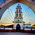

Village Acateno, Puebla Sierra Norte de Puebla
Seat of Acateno municipality in the low northern sierra: oranges, a fair on 19 March and rock paintings by the Tlacuilolapan river.
From Martínez de la Torre: 30 min by car (23 km by road) How to get there ↓
Near here
See everything nearby ↓


Plan your visit to San José Acateno
Where to stay near San José Acateno
Compare hotels, posadas and guest houses in San José Acateno.
Tours to San José Acateno
Day trips and guided outings from Teziutlán often include San José Acateno; with a local guide you can get there without a car.
How to get to San José Acateno
- From Martínez de la Torre: about 30 min by road (~23 km)
- Nearest airport: Poza Rica (PAZ), 2 h 14 min by car to Teziutlán
Links open a partner site. We may earn a commission if you book, at no cost to you.
About San José Acateno
San José Acateno is the seat of a municipality in Puebla's northern sierra that looks towards the Gulf of Mexico coastal plain, at altitudes of just 90 to 360 metres and bordering Papantla, Tlapacoyan and Martínez de la Torre in Veracruz. Acateno comes from Nahuatl: acatl, reed, and tentli, edge; 'at the edge of the reeds'. The 2020 census counted 3,651 people in the town, out of 9,170 for the whole municipality. In 1900 there were 382.
The church of Señor San José is the municipality's main historic monument, and its 19 March feast is known as the Orange Fair, the only one of its kind in the Teziutlán region. Citrus rules the economy: oranges, lemons, pineapple, bananas, coffee and chile, plus maize, beans and tomato. In the municipal palace on Cuauhtémoc street a mural surveys the municipality's natural and cultural wealth.
There is more around it. In the locality of Jiliapan stand the remains of pyramids called Las Torres, and near the Tlacuilolapan river caves hold rock paintings. South of the town rise the Tepalcachi and Acateno hills. In pre-Hispanic times the area was home to Totonacs and Nahuas and was subdued by the Triple Alliance; in 1895 it became a free municipality, within the former Teziutlán district.
How to get to San José Acateno
Drive from Martínez de la Torre: 30 min, 23 km
Acateno is in Puebla's far northeast, on the slope down to the Gulf coast, hard against Veracruz. Teziutlán, the nearest large Puebla city, is about 34 km away in a straight line (approx. 40 minutes by car, though the real mountain road is longer), and Poza Rica, in Veracruz, about 51 km (approx. 1 hour). Geographically the village is reached from Teziutlán, from Hueytamalco, or from Tlapacoyan and Martínez de la Torre in Veracruz, the municipalities it borders. From Puebla, buses to Teziutlán leave from the CAPU; from Mexico City, from TAPO and the Norte terminal. No fixed timetable is published as far as San José Acateno; ask at the Teziutlán terminal or at the town hall (acateno.gob.mx) about combis or taxis.
Directions to San José Acateno on Google Maps
Distances are in a straight line; the road is usually longer.
Links open a partner site. We may earn a commission if you book, at no cost to you.
From the nearest cities to San José Acateno
- Martínez de la Torre · 23 km by road, 30 min
- Teziutlán · 57 km by road, 55 min
- Papantla · 62 km by road, 1 h 10 min
Drive times by road from OpenStreetMap, without traffic or stops. Times marked ~ are estimated from the straight-line distance.
Before you go to San José Acateno: hours, prices and tips
- Best season
- Patron feast of San José on 19 March, known as the Orange Fair. Wikipedia (es), Municipio de Acateno · checked Oct 2026
Hours and prices change, especially around holidays. Each fact links to where we checked it.
Visiting San José Acateno: what to see and do
The church of Señor San José, the municipality's main historic monument.
The mural in the municipal palace on Cuauhtémoc street.
The Las Torres pyramids at Jiliapan.
Rock paintings in caves near the Tlacuilolapan river.
The Orange Fair on 19 March.
The Tepalcachi and Acateno hills south of the town.
Plan your trip
Places to stay in San José Acateno
Compare hotels, posadas, and rentals in and around San José Acateno.
Tours & activities
Day trips and guided outings from Teziutlán often include San José Acateno; with a local guide you can get there without a car.
Rental cars
Pick up a car at PAZ (Poza Rica): about 2 h 14 min by road to Teziutlán, then 34 km more to San José Acateno, on your own schedule.
Flights
The nearest airport with scheduled flights is Poza Rica (PAZ), about 2 h 14 min by road from Teziutlán, the base for San José Acateno.
Mobile data
Signal can drop away from Teziutlán: download a map of the way to San José Acateno before you set out, or carry an eSIM with data.
Links open a partner site. We may earn a commission if you book, at no cost to you.
When to go to San José Acateno cool
San José Acateno shares the climate of Teziutlán, 34 km away. The best months to visit are February, March, April, and November.
See the month-by-month climate of Teziutlán
Weather in San José Acateno now and the next 7 days
Live forecast from Open-Meteo. Chance of rain is the day's highest.
The closest Pueblo Mágico: Teziutlán

Teziutlán is the Pueblo Mágico closest to San José Acateno, with places to stay, food, and more to see.
Also close to
- Cuetzalan · Puebla · 35 km away
- Papantla · Veracruz · 37 km away
- Zozocolco · Veracruz · 39 km away
- Tlatlauquitepec · Puebla · 43 km away
- Naolinco · Veracruz · 63 km away
Closest to San José Acateno
-
Cuyuxquihui · Archaeological site · 20 km away
-
Ayotoxco de Guerrero · Village · 21 km away
-
Río Filobobos · Nature reserve · 22 km away
-
Hueytamalco · Town · 23 km away
-
Mazatepec · Village · 25 km away
-
Plan de Arroyos · Village · 28 km away
-
Presa La Soledad · Lake · 31 km away
-
Yohualichan · Archaeological site · 32 km away
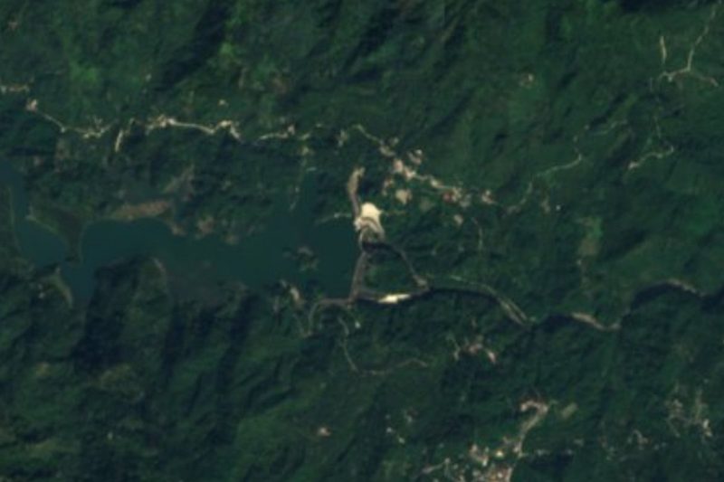

Near San José Acateno
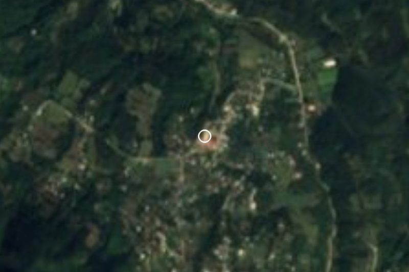


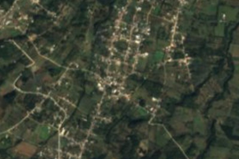


Drive times by road from OpenStreetMap, without traffic. Times marked ~ are estimated from the straight-line distance.
Location from OpenStreetMap. Written by Puebloteca.