Village Tlatlauquitepec, Puebla Municipality of Tlatlauquitepec Sierra Norte de Puebla
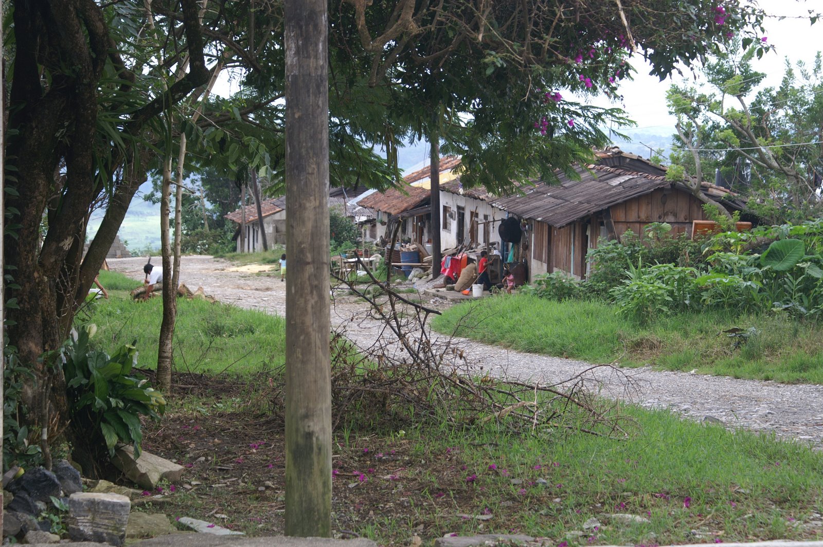
Coffee village at 625 m in Tlatlauquitepec municipality, with the Cueva del Tigre cave, smoked chicken and the Apulco river hydro plant.
From Teziutlán: 1 h by car (55 km by road) How to get there ↓
Near here
See everything nearby ↓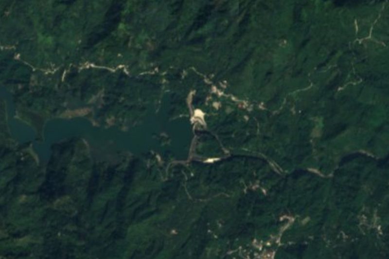


Plan your visit to Mazatepec
Where to stay near Mazatepec
Compare hotels, posadas and guest houses in Mazatepec.
Tours to Mazatepec
Day trips and guided outings from Cuetzalan often include Mazatepec; with a local guide you can get there without a car.
How to get to Mazatepec
- From Teziutlán: about 1 h by road (~55 km)
- Nearest airport: Poza Rica (PAZ), 2 h 46 min by car to Cuetzalan
Links open a partner site. We may earn a commission if you book, at no cost to you.
About Mazatepec
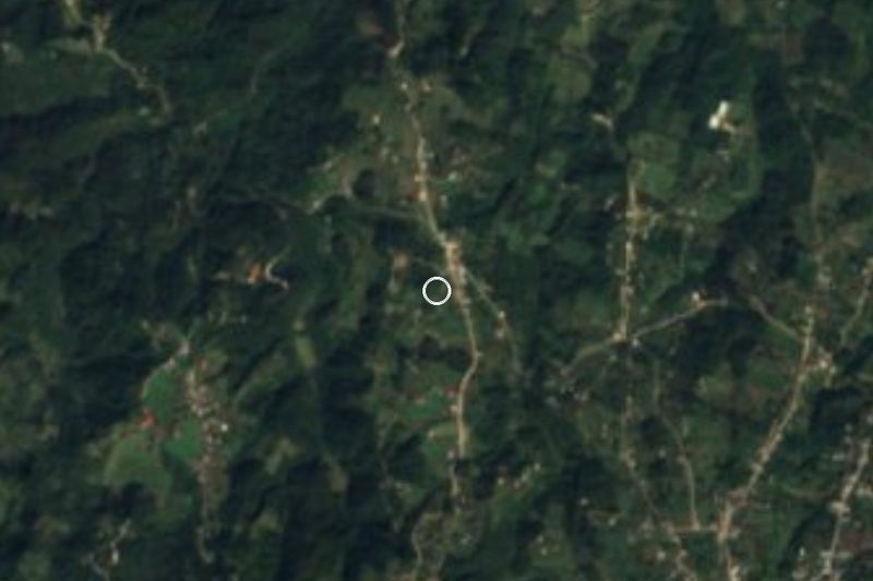
Mazatepec lies in the lower Sierra Norte de Puebla, at 625 metres, where the hills of Tlatlauquitepec municipality slope down toward the Apulco river basin. The 2020 census counted 1,617 residents. The name is Nahuatl: mazatl, deer; tepetl, hill; and the locative -co, "at the hill of the deer". Brocket deer no longer survive in the municipality, wiped out by hunting and clearing, but the name stayed.
Three things carry Mazatepec's reputation. One is coffee, grown around the village. Another is smoke cooking: smoked chicken originated around Mazatepec, and it is the dish travel writers tell you to eat on arrival. The third is the Cueva del Tigre, on the road that runs from Tlatlauquitepec toward the village: a cavern with stalactites and stalagmites, a vaulted entrance, water that can reach above the knee and a chamber 18 metres high. Pre-Hispanic remains of a Totonac settlement have turned up there, and it is thought to have been a ceremonial site: around the spring equinox sunlight enters the cave for about three days.
The Apulco river, which runs through the north of the municipality and marks the boundary with Ayotoxco, feeds the Adolfo Ruiz Cortines hydroelectric complex, made up of the La Soledad dam and the Mazatepec power station. The village has its own post-office agency, and a herbal liqueur called Yolixpa is sold in the area.
How to get to Mazatepec
Drive from Teziutlán: 1 h, 55 km
Mazatepec is reached from the town of Tlatlauquitepec by the Tlatlauquitepec-Mazatepec state road, about 20 km, approx. half an hour or more depending on the stretch; the cave is on that same road and travel guides speak of around an hour from the centre. Tlatlauquitepec is reached from Puebla by federal highway 129 and the 129D toll road, which crosses the south of the municipality and links Puebla with Teziutlán; the turn for Mazatepec starts at the municipal seat. A road from Cuetzalan also arrives from the north, about 16 km by road (approx. 22 minutes; 11 km as the crow flies). The municipality has a bus line called Vía, taxis and suburban routes, but there is no fixed timetable published to Mazatepec: ask at the Tlatlauquitepec terminal, which gets buses from CAPU in Puebla or from TAPO in Mexico City.
Directions to Mazatepec on Google Maps
Distances are in a straight line; the road is usually longer.
Links open a partner site. We may earn a commission if you book, at no cost to you.
From the nearest cities to Mazatepec
- Teziutlán · 55 km by road, 1 h
- Papantla · 72 km by road, 1 h 20 min
- Huauchinango · about 90 km by road, ~1 h 20 min
Drive times by road from OpenStreetMap, without traffic or stops. Times marked ~ are estimated from the straight-line distance.
Before you go to Mazatepec: hours, prices and tips
- Time needed
- The basic Cueva del Tigre tour is 1 km and takes about 1 h 30; the long circuit covers some 3 km between caverns. México Desconocido · checked Oct 2026
- Guide or tour
- A guide is required for cave diving; tours are organised by La Cueva del Tigre Tours. Tours: Viator GetYourGuide México Desconocido · checked Oct 2026
- What to bring
- A change of clothes and shoes; waterproof footwear, since the water can rise above the knee. México Desconocido · checked Oct 2026
- Rules
- Cave diving requires a guide and experience for safety; visits are run by La Cueva del Tigre Tours, which is worth contacting beforehand. México Desconocido · checked Oct 2026
Hours and prices change, especially around holidays. Each fact links to where we checked it.
Visiting Mazatepec: what to see and do
The Cueva del Tigre: a basic 1 km tour (about 1 h 30) or a longer circuit of some 3 km to the 18 m vaulted chamber.
Cave diving in the cave, only with a guide and experience.
Smoked chicken, a specialty of the Mazatepec area.
The coffee plantations of the area and the Yolixpa herbal liqueur.
The La Soledad dam and the hydroelectric plant on the Apulco river.
Plan your trip
Places to stay in Mazatepec
Compare hotels, posadas, and rentals in and around Mazatepec.
Tours & activities
Day trips and guided outings from Cuetzalan often include Mazatepec; with a local guide you can get there without a car.
Rental cars
Pick up a car at PAZ (Poza Rica): about 2 h 46 min by road to Cuetzalan, then 11 km more to Mazatepec, on your own schedule.
Flights
The nearest airport with scheduled flights is Poza Rica (PAZ), about 2 h 46 min by road from Cuetzalan, the base for Mazatepec.
Mobile data
Signal can drop away from Cuetzalan: download a map of the way to Mazatepec before you set out, or carry an eSIM with data.
Links open a partner site. We may earn a commission if you book, at no cost to you.
When to go to Mazatepec mild
Mazatepec shares the climate of Cuetzalan, 11 km away. The best months to visit are February, March, April, and December.
See the month-by-month climate of Cuetzalan
Weather in Mazatepec now and the next 7 days
Live forecast from Open-Meteo. Chance of rain is the day's highest.
The closest Pueblo Mágico: Cuetzalan

Cuetzalan is the Pueblo Mágico closest to Mazatepec, with places to stay, food, and more to see.
Also close to
- Teziutlán · Puebla · 19 km away
- Tlatlauquitepec · Puebla · 20 km away
- Zozocolco · Veracruz · 22 km away
- Tetela de Ocampo · Puebla · 46 km away
- Papantla · Veracruz · 49 km away
Closest to Mazatepec
-
Presa La Soledad · Lake · 7 km away
-
Ayotoxco de Guerrero · Village · 9 km away
-
Cascada Las Brisas · Waterfall · 9 km away
-
Yohualichan · Archaeological site · 10 km away
-
San Miguel Tzinacapan · Town · 13 km away
-
Hueyapan · Town · 15 km away
-
Cascada de Puxtla · Waterfall · 16 km away
-
Hueytamalco · Town · 16 km away

Near Mazatepec
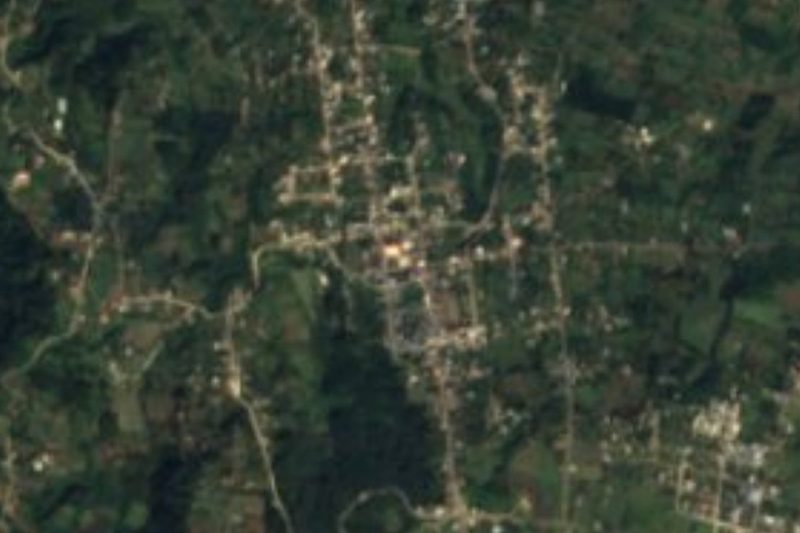




Drive times by road from OpenStreetMap, without traffic. Times marked ~ are estimated from the straight-line distance.
Location from OpenStreetMap. Written by Puebloteca.