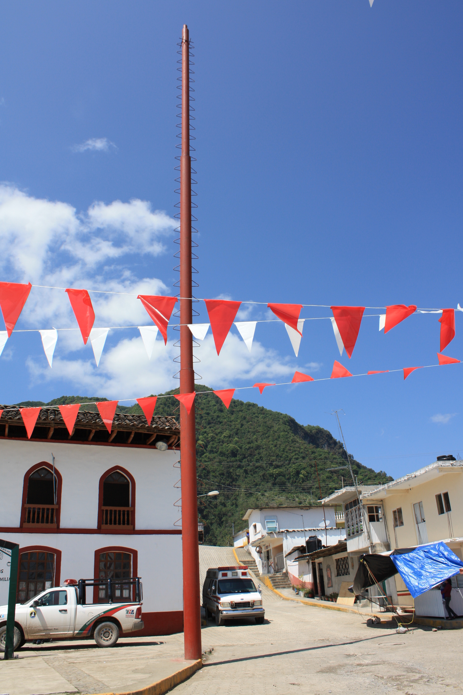
Village Tlacuilotepec, Puebla Sierra Norte de Puebla
Village in Puebla's northern sierra in the Huastec karst, with rain all year, about 10 km from the Pueblo Mágico of Pahuatlán.
From Huauchinango: 55 min by car (49 km by road) How to get there ↓
Near here
See everything nearby ↓
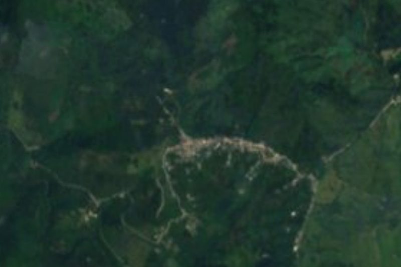
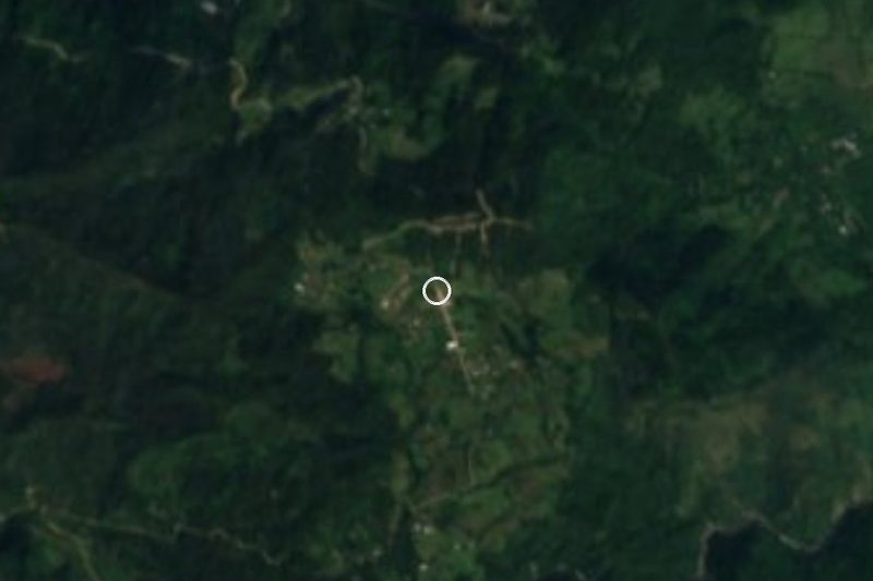

Plan your visit to Tlacuilotepec
Where to stay near Tlacuilotepec
Compare hotels, posadas and guest houses in Tlacuilotepec.
Tours to Tlacuilotepec
Day trips and guided outings from Pahuatlán often include Tlacuilotepec; with a local guide you can get there without a car.
How to get to Tlacuilotepec
- From Huauchinango: about 55 min by road (~49 km)
- Nearest airport: Poza Rica (PAZ), 2 h 3 min by car to Pahuatlán
Links open a partner site. We may earn a commission if you book, at no cost to you.
About Tlacuilotepec
Tlacuilotepec is the seat of the municipality of the same name in Puebla's northern sierra, at about 1,310 m. The village had 1,638 people in 2020, while the municipality, spread over 62 settlements, had 17,115 in 2010: nearly everyone lives in communities scattered through the mountains, such as San Pedro Petlacotla and Papaloctipan. The municipality covers 0.5% of the state, between 260 and 1,680 m, and borders Hidalgo, Taxco, Jalpan, Xicotepec, Huauchinango, Naupan, Pahuatlán and Tlaxco.
It is steep, high mountain country: INEGI places it in the Huastec karst of the Sierra Madre Oriental, with Cretaceous and Jurassic limestone and shale. Rain is heavy and falls all year, 2,400 to 2,600 mm annually, in a semi-warm humid climate with mean temperatures of 16 to 24 °C. Its permanent rivers, the Acalman, Álamo and San Marcos, drain to the Tuxpan and Cazones basins, toward the Gulf.
Almost half the land is farmed, though INEGI rates most of the slopes as unsuitable for crops; the rest is pasture, forest and a few patches of tropical forest. For travellers, the village is about 10 km in a straight line from the Pueblo Mágico of Pahuatlán and about 41 km from Tulancingo in Hidalgo, on mountain roads.
How to get to Tlacuilotepec
Drive from Huauchinango: 55 min, 49 km
Tlacuilotepec lies in Puebla's northern sierra next to the Hidalgo line. The Pueblo Mágico of Pahuatlán is about 10 km away in a straight line and Tulancingo in Hidalgo about 41 km; Huauchinango is the nearest large Puebla town. Puebla city is about 144 km away in a straight line. These are mountain roads: travel by daylight.
Directions to Tlacuilotepec on Google Maps
Distances are in a straight line; the road is usually longer.
Links open a partner site. We may earn a commission if you book, at no cost to you.
From the nearest cities to Tlacuilotepec
- Huauchinango · 49 km by road, 55 min
- Tulancingo · 62 km by road, 1 h 10 min
- Pachuca · 110 km by road, 1 h 45 min
Drive times by road from OpenStreetMap, without traffic or stops. Times marked ~ are estimated from the straight-line distance.
Visiting Tlacuilotepec: what to see and do
The village centre.
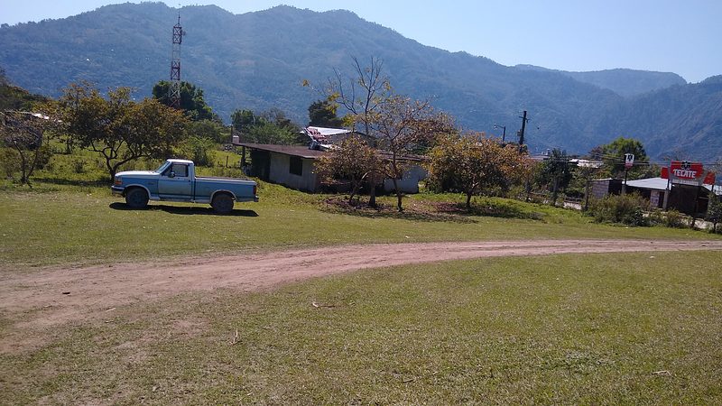
The mountain landscape, dropping from 1,680 to 260 m.
Pair it with Pahuatlán, a Pueblo Mágico about 10 km away.
Plan your trip
Places to stay in Tlacuilotepec
Compare hotels, posadas, and rentals in and around Tlacuilotepec.
Tours & activities
Day trips and guided outings from Pahuatlán often include Tlacuilotepec; with a local guide you can get there without a car.
Rental cars
Pick up a car at PAZ (Poza Rica): about 2 h 3 min by road to Pahuatlán, then 10 km more to Tlacuilotepec, on your own schedule.
Flights
The nearest airport with scheduled flights is Poza Rica (PAZ), about 2 h 3 min by road from Pahuatlán, the base for Tlacuilotepec.
Mobile data
Signal can drop away from Pahuatlán: download a map of the way to Tlacuilotepec before you set out, or carry an eSIM with data.
Links open a partner site. We may earn a commission if you book, at no cost to you.
When to go to Tlacuilotepec mild
Tlacuilotepec shares the climate of Pahuatlán, 10 km away. The best months to visit are January, February, March, and December.
See the month-by-month climate of Pahuatlán
Weather in Tlacuilotepec now and the next 7 days
Live forecast from Open-Meteo. Chance of rain is the day's highest.
The closest Pueblo Mágico: Pahuatlán

Pahuatlán is the Pueblo Mágico closest to Tlacuilotepec, with places to stay, food, and more to see.
Also close to
- Xicotepec · Puebla · 11 km away
- Huauchinango · Puebla · 17 km away
- Acaxochitlán · Hidalgo · 23 km away
- Zacatlán · Puebla · 45 km away
- Chignahuapan · Puebla · 55 km away
Closest to Tlacuilotepec
-
San Pablito · Town · 10 km away
-
Xolotla · Town · 10 km away
-
La Lagunilla · Village · 11 km away
-
Tlaxco · Village · 12 km away
-
Ahila · Viewpoint · 13 km away
-
Presa Necaxa · Lake · 14 km away
-
Cascada de Totolapa · Waterfall · 15 km away
-
Chachahuantla · Village · 15 km away
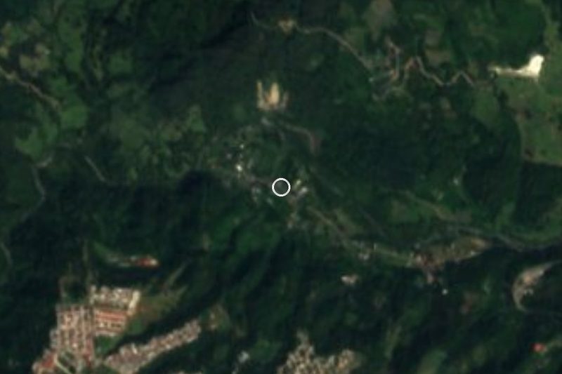

Near Tlacuilotepec
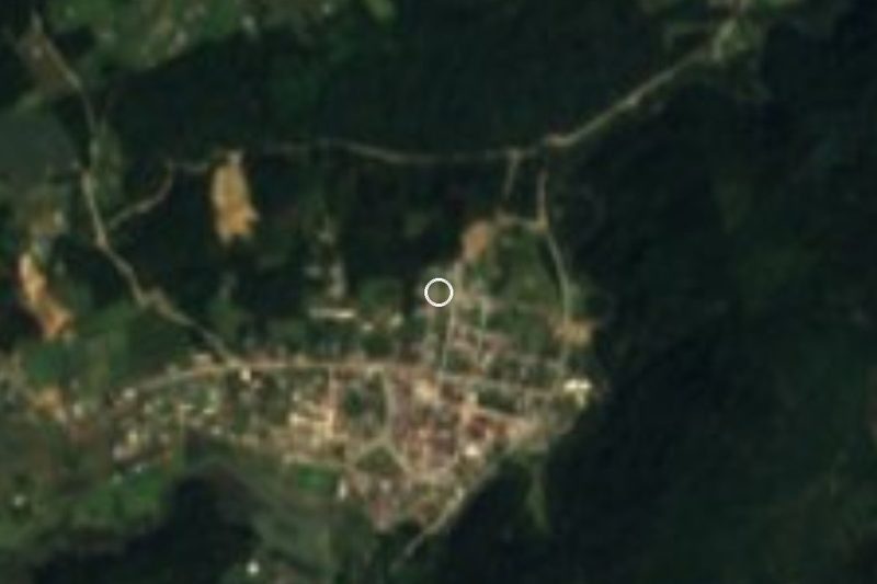

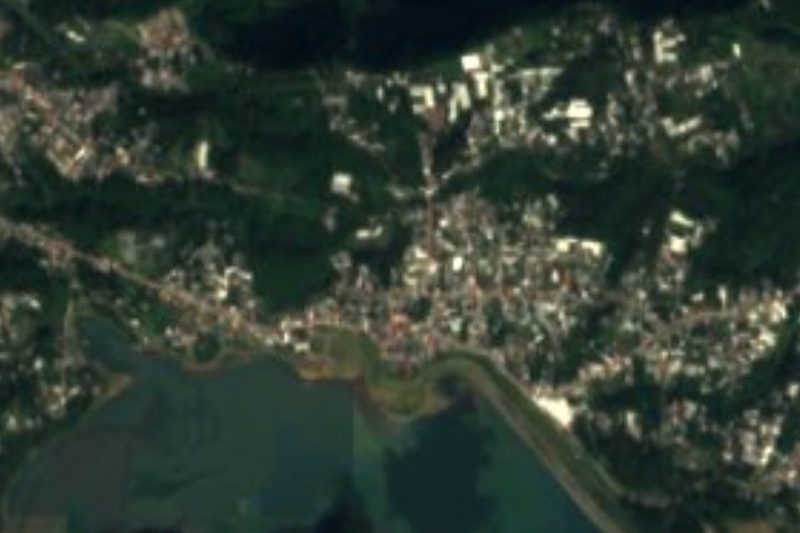

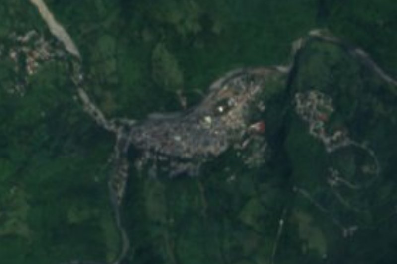


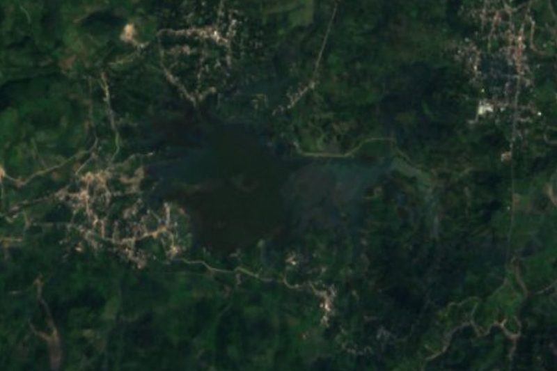

Drive times by road from OpenStreetMap, without traffic. Times marked ~ are estimated from the straight-line distance.
Location from OpenStreetMap. Written by Puebloteca.