Village Zacatlán, Puebla Municipality of Zacatlán Sierra Norte de Puebla
Zacatlán junta auxiliar at 2,478 m and gateway to the Valle de Piedras Encimadas; a pueblo by decree since 2018, with a Guadalupe parish.
From Huauchinango: 35 min by car (27 km by road) How to get there ↓
Near here
See everything nearby ↓



Plan your visit to Camotepec
Where to stay near Camotepec
Compare hotels, posadas and guest houses in Camotepec.
Tours to Camotepec
Day trips and guided outings from Huauchinango often include Camotepec; with a local guide you can get there without a car.
 Tours from Zacatlan
Zacatlán Guided Tour walking through the Center
★ 5.0 (2) · From US$8
How to get to Camotepec
- From Huauchinango: about 35 min by road (~27 km)
- Nearest airport: Poza Rica (PAZ), 1 h 59 min by car to Huauchinango
Links open a partner site. We may earn a commission if you book, at no cost to you.
Tours from Zacatlan, near Camotepec
Tours, prices and ratings from Viator, checked weekly. We may earn a commission if you book.
About Camotepec
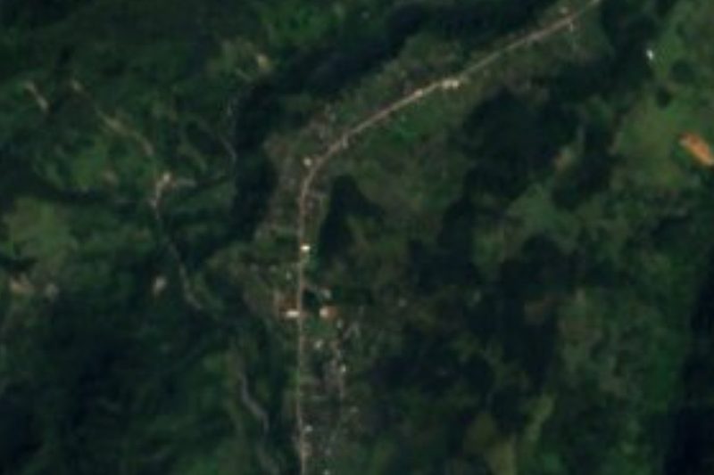
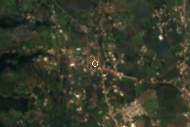
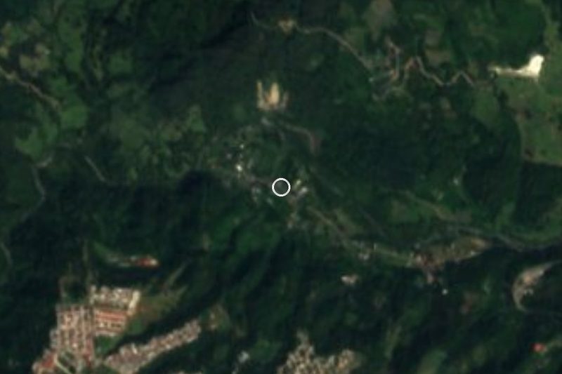
The name comes from Nahuatl camotli and tepetl: "on the hill of the sweet potato". Camotepec is one of Zacatlán's eleven juntas auxiliares and, according to Wikipedia, the municipality's fourth-largest community; the 2020 census counted 2,601 residents. It sits at about 2,478 m in the north of the municipality, toward the Huauchinango line, and people live mainly from farming and livestock.
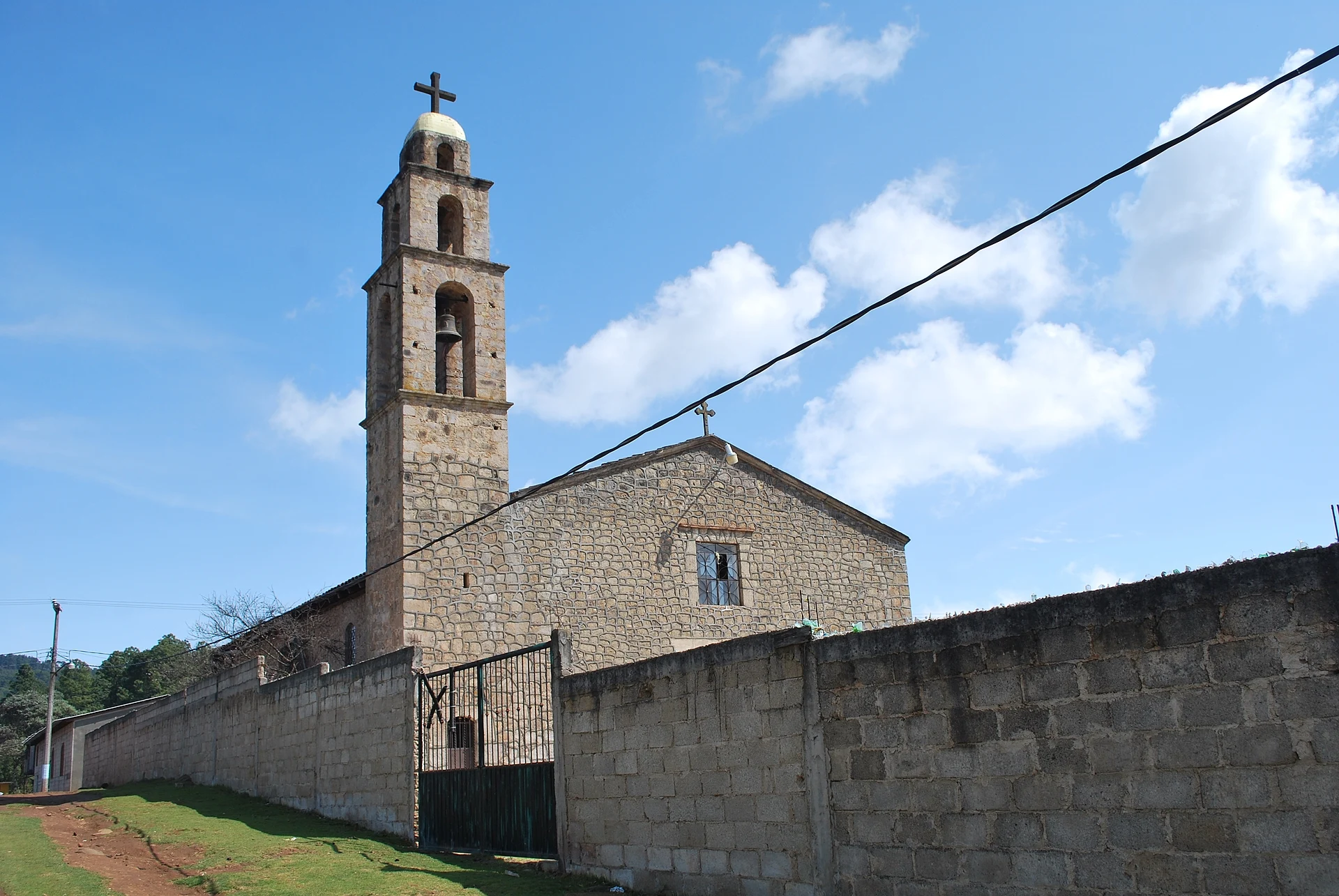
Its status is new. A Puebla state decree published on 2 July 2018 raised it to the rank of pueblo so that, together with the hamlet of Rancho Nuevo, it could form the junta auxiliar of Camotepec. The village's landmark is the parish church of Nuestra Señora de Guadalupe, a plain stone building with a bell tower.
What brings visitors is the Valle de Piedras Encimadas, which lies within Camotepec's land: some 2,000 hectares of rocks stacked up by erosion, 10 m high on average and up to 20 m in places. The state government created an ecotourism park there in 2002 by buying 200 hectares from ejido members and private owners, and the municipality now runs more than 300; the rest of the valley remains private. The main way into the valley leaves the Zacatlán–Huauchinango road at the Camotepec turn-off, so most people heading for the rocks pass through the village.
How to get to Camotepec
Drive from Huauchinango: 35 min, 27 km
Take the road between Zacatlán and Huauchinango and turn off for Camotepec. From Zacatlán, the municipal seat and a Pueblo Mágico, it is about 27 km and roughly 35 minutes, mostly on federal highway 119; the municipal encyclopedia reckons about 40 minutes. From Huauchinango, the nearest Pueblo Mágico, it is about 25 km and roughly 35 minutes on federal highway 130 and the local road. From Tulancingo in Hidalgo, the nearest city, it is about 49 km and roughly 50 minutes via highway 130 and toll road 132D. From the city of Puebla it is about 131 km, roughly 2 hours, via Apizaco and highway 119D.
Directions to Camotepec on Google Maps
Distances are in a straight line; the road is usually longer.
Links open a partner site. We may earn a commission if you book, at no cost to you.
From the nearest cities to Camotepec
- Huauchinango · 27 km by road, 35 min
- Tulancingo · 49 km by road, 50 min
- Pachuca · 96 km by road, 1 h 30 min
Drive times by road from OpenStreetMap, without traffic or stops. Times marked ~ are estimated from the straight-line distance.
Visiting Camotepec: what to see and do
The parish church of Nuestra Señora de Guadalupe.
The Valle de Piedras Encimadas, with rock formations 10 to 20 m tall.
The municipal ecotourism park inside the valley.
The farmland of Zacatlán's high country.
Plan your trip
Places to stay in Camotepec
Compare hotels, posadas, and rentals in and around Camotepec.
Tours & activities
Day trips and guided outings from Huauchinango often include Camotepec; with a local guide you can get there without a car.
Rental cars
Pick up a car at PAZ (Poza Rica): about 1 h 59 min by road to Huauchinango, then 14 km more to Camotepec, on your own schedule.
Flights
The nearest airport with scheduled flights is Poza Rica (PAZ), about 1 h 59 min by road from Huauchinango, the base for Camotepec.
Mobile data
Signal can drop away from Huauchinango: download a map of the way to Camotepec before you set out, or carry an eSIM with data.
Links open a partner site. We may earn a commission if you book, at no cost to you.
When to go to Camotepec mild
Camotepec shares the climate of Huauchinango, 14 km away. The best months to visit are January, February, March, and December.
See the month-by-month climate of Huauchinango
Weather in Camotepec now and the next 7 days
Live forecast from Open-Meteo. Chance of rain is the day's highest.
The closest Pueblo Mágico: Huauchinango

Huauchinango is the Pueblo Mágico closest to Camotepec, with places to stay, food, and more to see.
Also close to
- Zacatlán · Puebla · 17 km away
- Acaxochitlán · Hidalgo · 19 km away
- Chignahuapan · Puebla · 24 km away
- Pahuatlán · Puebla · 28 km away
- Xicotepec · Puebla · 30 km away
Closest to Camotepec
-
Valle de Piedras Encimadas · Nature reserve · 4 km away
-
Benito Juárez · Village · 7 km away
-
Beristáin · Village · 8 km away
-
Zempoala · Village · 9 km away
-
Ahuazotepec · Village · 10 km away
-
Ahuacatlán · Village · 12 km away
-
Cascadas la Morena · Waterfall · 12 km away
-
El Tejocotal · Village · 12 km away
Near Camotepec




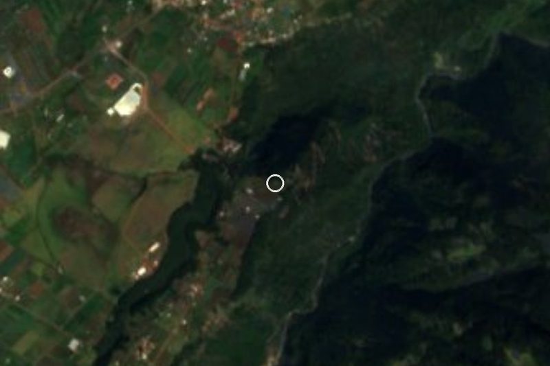


Drive times by road from OpenStreetMap, without traffic. Times marked ~ are estimated from the straight-line distance.
Location from OpenStreetMap. Written by Puebloteca.