
Village Chignahuapan, Puebla Municipality of Chignahuapan Sierra Norte de Puebla
A Chignahuapan hamlet at 2,403 m with its bridge and 596 residents, 11 km from the town, on the sierra's cool high plateau.
From Huauchinango: 50 min by car (64 km by road) How to get there ↓
Near here
See everything nearby ↓


Plan your visit to Acolihuia
Where to stay near Acolihuia
Compare hotels, posadas and guest houses in Acolihuia.
Tours to Acolihuia
Day trips and guided outings from Chignahuapan often include Acolihuia; with a local guide you can get there without a car.
How to get to Acolihuia
- From Huauchinango: about 50 min by road (~64 km)
- Nearest airport: Puebla (PBC), 1 h 30 min by car to Chignahuapan
Links open a partner site. We may earn a commission if you book, at no cost to you.
About Acolihuia
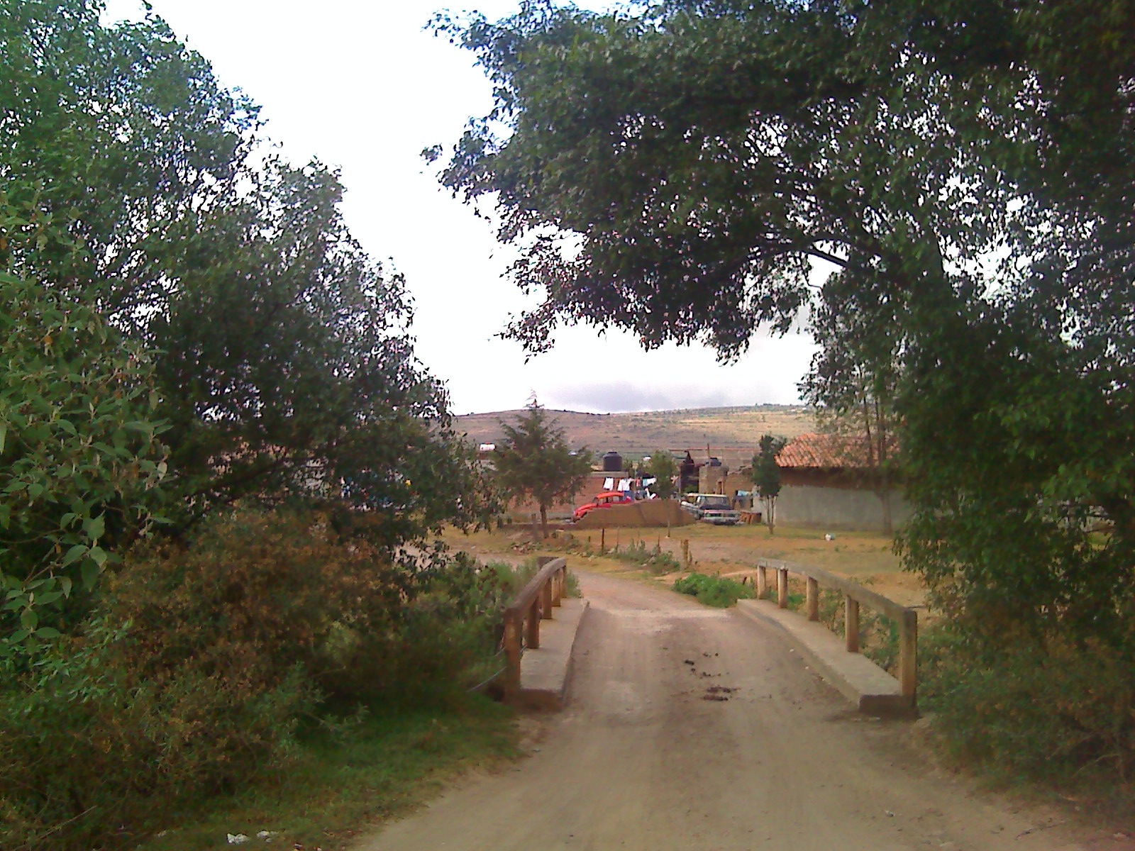
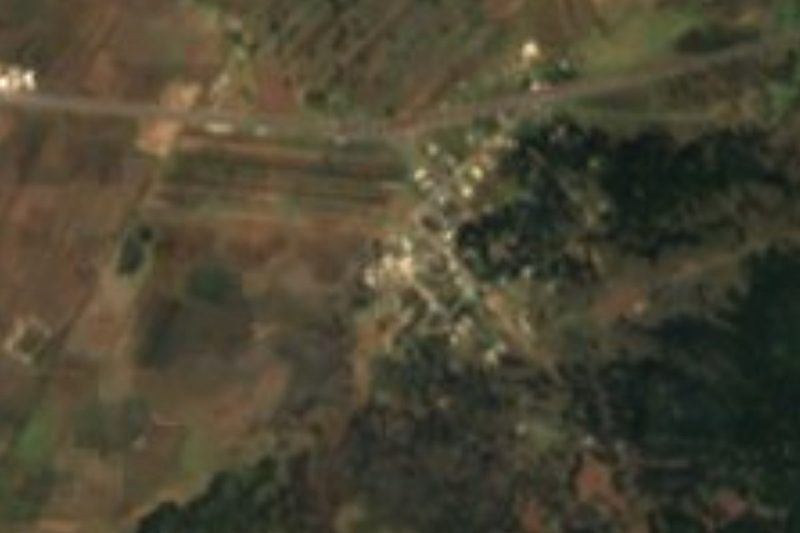
The most photographed thing in Acolihuia is its bridge, the one shown on this page; it is the image the village is known by. It is a small place: the 2020 census recorded 596 residents, living at about 2,403 metres in the municipality of Chignahuapan, roughly 11 km in a straight line southwest of the municipal seat, the Pueblo Mágico known for its Christmas baubles.
The streams of this area belong to a much larger system. Three quarters of the municipality drains into the Tecolutla basin, which ends at the Gulf; a little over a fifth belongs to the Moctezuma basin, in the Pánuco region, and a sliver of about 2 percent flows toward the Atoyac and the Balsas. INEGI lists many year-round streams, such as the Agrio, the Blanco, Cantarranas and the Hondo, plus dams and small reservoirs. The main body of water is the Ajolotla lagoon. Among farmed hills, forests still cover a bit more than a third of the land.
Cold is part of daily life: municipal averages range from 10 to 16 degrees and annual rain runs from 600 to 900 mm, falling mostly in summer. According to Wikipedia, Chignahuapan is the second-largest municipality in Puebla, at about 759 km². Its people make clay pottery, footwear, rustic furniture and, above all, Christmas baubles and ornaments; kitchens turn out cheese bread, pressed chicharrón, pumpkin-seed and pine-nut jamoncillo and milk sweets.
How to get to Acolihuia
Drive from Huauchinango: 50 min, 64 km
Acolihuia is about 11 km in a straight line from Chignahuapan, 42 km from Tulancingo (Hidalgo) and some 83 km from Puebla city. Head to Chignahuapan first, then take local roads southwest. At 2,400 metres mornings are cold, so bring a jacket.
Directions to Acolihuia on Google Maps
Distances are in a straight line; the road is usually longer.
Links open a partner site. We may earn a commission if you book, at no cost to you.
From the nearest cities to Acolihuia
- Huauchinango · 64 km by road, 50 min
- Chiautempan · 62 km by road, 55 min
- Huamantla · 74 km by road, 1 h
Drive times by road from OpenStreetMap, without traffic or stops. Times marked ~ are estimated from the straight-line distance.
Visiting Acolihuia: what to see and do
The Acolihuia bridge is the village's signature view. Chignahuapan, 11 km away, has the 16th-century church of Santiago Apóstol and the modern church of the Inmaculada, which houses a carved wooden image. The Ajolotla lagoon is also in the municipality.
Plan your trip
Places to stay in Acolihuia
Compare hotels, posadas, and rentals in and around Acolihuia.
Tours & activities
Day trips and guided outings from Chignahuapan often include Acolihuia; with a local guide you can get there without a car.
Rental cars
Pick up a car at PBC (Puebla): about 1 h 30 min by road to Chignahuapan, then 11 km more to Acolihuia, on your own schedule.
Flights
The nearest airport with scheduled flights is Puebla (PBC), about 1 h 30 min by road from Chignahuapan, the base for Acolihuia.
Mobile data
Signal can drop away from Chignahuapan: download a map of the way to Acolihuia before you set out, or carry an eSIM with data.
Links open a partner site. We may earn a commission if you book, at no cost to you.
When to go to Acolihuia cool
Acolihuia shares the climate of Chignahuapan, 11 km away. The best months to visit are February, March, April, and May.
See the month-by-month climate of Chignahuapan
Weather in Acolihuia now and the next 7 days
Live forecast from Open-Meteo. Chance of rain is the day's highest.
The closest Pueblo Mágico: Chignahuapan

Chignahuapan is the Pueblo Mágico closest to Acolihuia, with places to stay, food, and more to see.
Also close to
- Tlaxco · Tlaxcala · 19 km away
- Zacatlán · Puebla · 24 km away
- Tetela de Ocampo · Puebla · 34 km away
- Acaxochitlán · Hidalgo · 42 km away
- Huauchinango · Puebla · 44 km away
Closest to Acolihuia
-
Rinconada · Village · 10 km away
-
Sebastopol · Village · 11 km away
-
Peñón del Rosario · Mountain · 14 km away
-
Acopinalco del Peñón · Village · 15 km away
-
Aguas Termales de Chignahuapan · Hot springs · 15 km away
-
Cascada Monumental · Waterfall · 18 km away
-
Cascadas de Tulimán · Waterfall · 18 km away
-
El Rosario · Town · 18 km away
Near Acolihuia

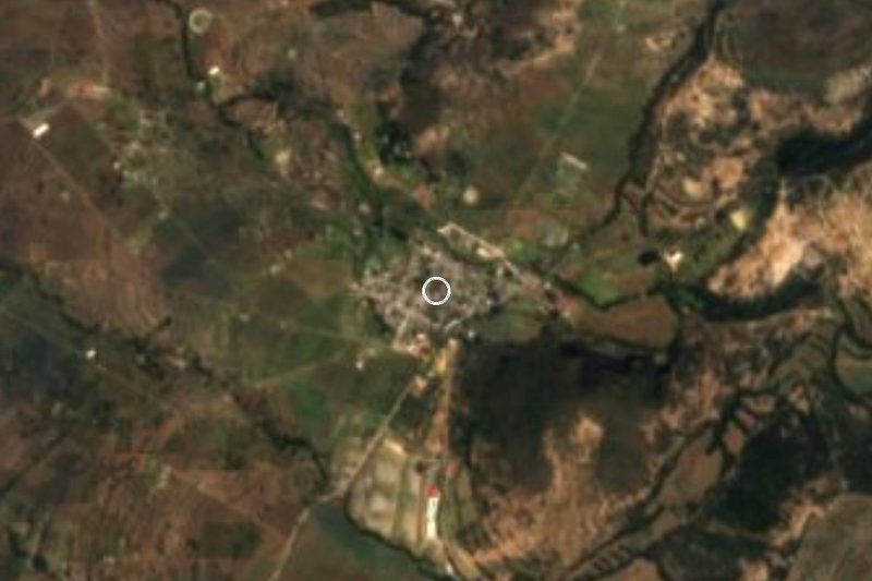




Drive times by road from OpenStreetMap, without traffic. Times marked ~ are estimated from the straight-line distance.
Location from OpenStreetMap. Written by Puebloteca.