
Village Tlaxco, Tlaxcala Municipality of Tlaxco Northern Tlaxcala
Tlaxco locality at 2,744 m with 693 residents, known for Hacienda Santiago Tecomalucan, a former pulque hacienda.
From Chiautempan: 45 min by car (44 km by road) How to get there ↓
Near here
See everything nearby ↓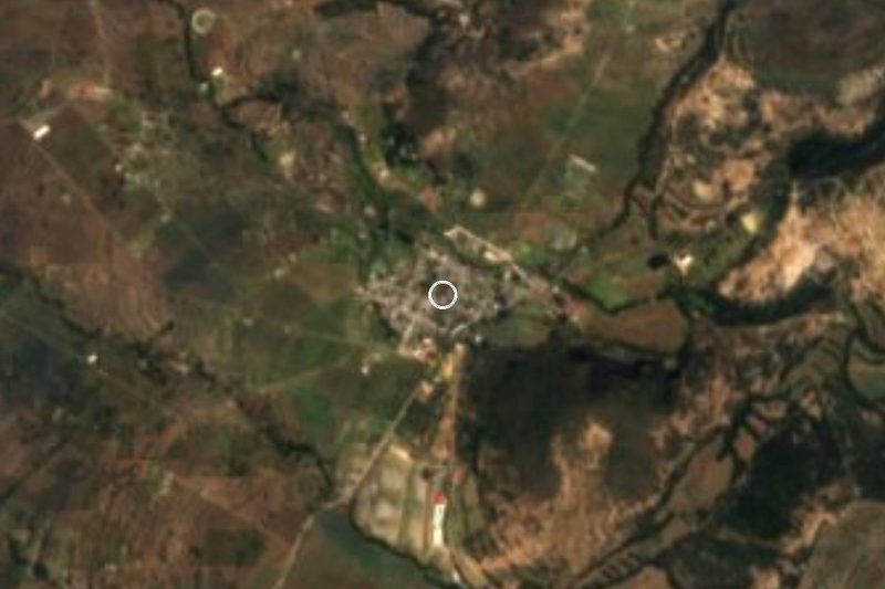


Plan your visit to Tecomalucan
Where to stay near Tecomalucan
Compare hotels, posadas and guest houses in Tecomalucan.
Tours to Tecomalucan
Day trips and guided outings from Tlaxco often include Tecomalucan; with a local guide you can get there without a car.
 Tours from Puebla City
Africam Safari Zoo Admission with Transportation
★ 4.8 (87) · From US$35
How to get to Tecomalucan
- From Chiautempan: about 45 min by road (~44 km)
- Nearest airport: Puebla (PBC), 1 h 6 min by car to Tlaxco
Links open a partner site. We may earn a commission if you book, at no cost to you.
Tours from Puebla City, near Tecomalucan


Tours, prices and ratings from Viator, checked weekly. We may earn a commission if you book.
About Tecomalucan
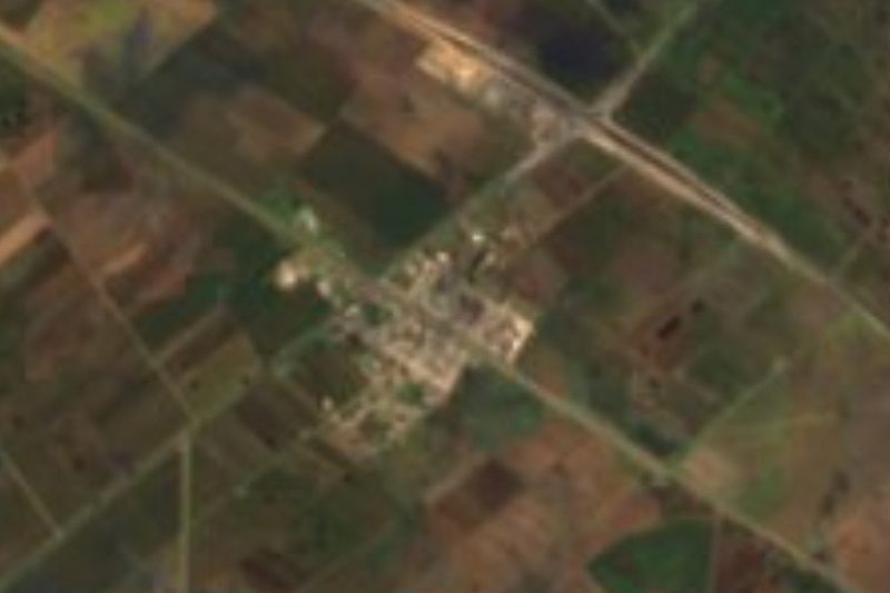
Tecomalucan is about 6 km from Tlaxco, the municipal seat, at 2,744 metres, at the foot of several hills: El Convento (2,820 m) is 1.2 km to the north, while La Rayuela and La Alcaparra rise above 2,860 and 2,900 m to the south. The 2020 census counted 693 residents, up from 602 in 2010 and 545 in 2005, making it the 13th of the municipality's 221 localities. Its immediate neighbour is San José Atotonilco, less than a kilometre to the southeast, with 3,637 people.
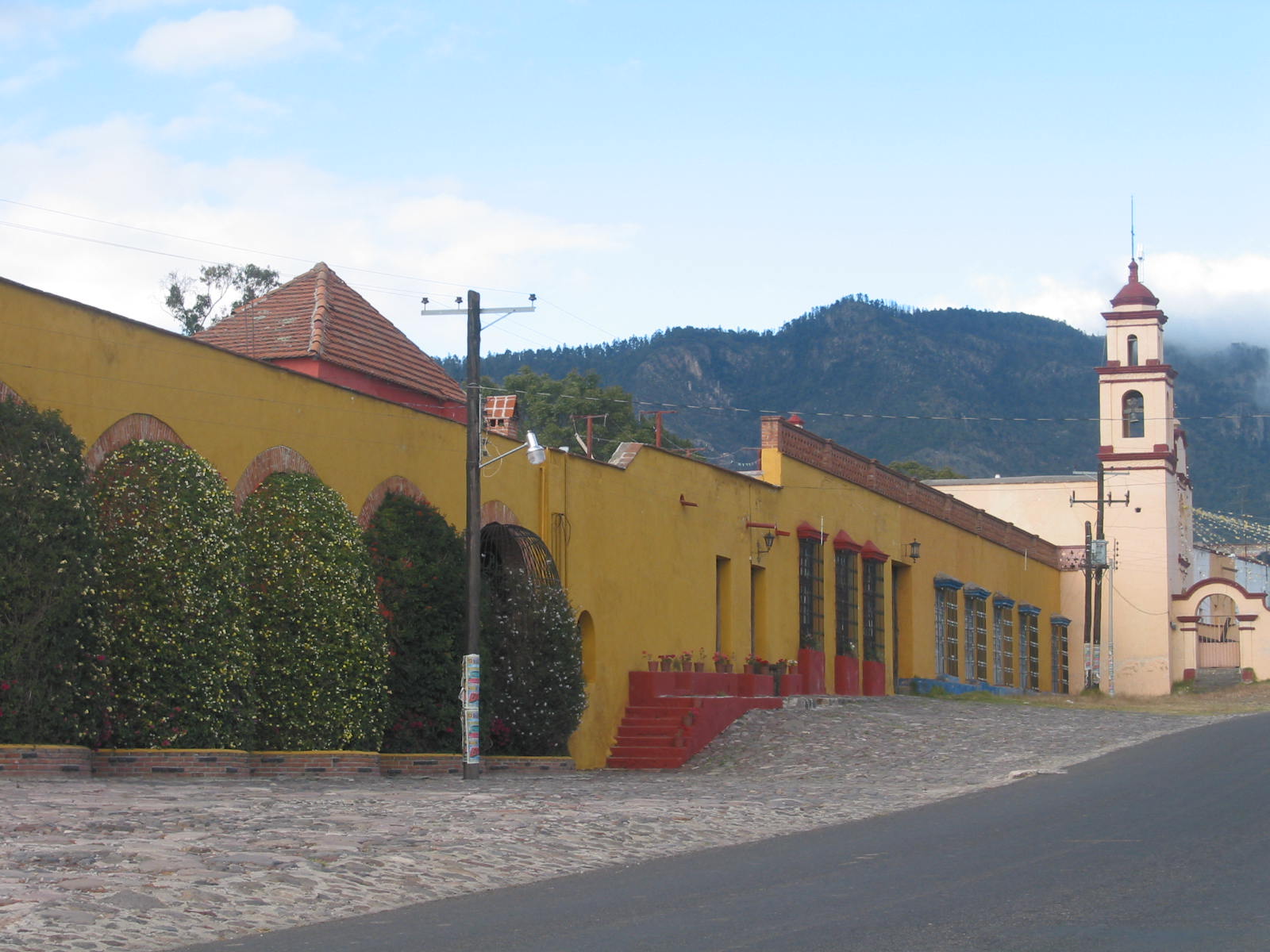
The name is Nahuatl and is linked to tecómatl, the clay vessel: "place of vessels" or tecomates. The building that defines the village is Hacienda Santiago Tecomalucan, built between the 18th and 20th centuries for farming and pulque production. It keeps its granary, tinacal (pulque-fermenting hall), machero, stable, corrals, chapel, workers' quarters and the owner's house, with stone and adobe walls about 80 cm thick, a plastered facade and a flat roof of wooden beams with tejamanil. In photographs it appears as a long yellow facade with arches and trimmed hedges, a pink-and-red bell tower beside it and wooded mountain behind.
From the Revolution it is recounted that the hacienda's single dovecote was used to send messages by carrier pigeon, passing information for the revolutionaries. Today the main house is rented for events such as weddings, baptisms, first communions and quinceañeras, and no visiting hours are published.
In the same locality, on the Apizaco–Tlaxco road, is Rancholandia, a family countryside park with boat rides, trout fishing, zipline, ATVs, shooting and gotcha, plus cabins and camping.
How to get to Tecomalucan
Drive from Chiautempan: 45 min, 44 km
Tecomalucan lies on the Apizaco–Tlaxco road, about 6 km in a straight line from Tlaxco and 9 km by road (around 10 minutes by car, approx.). From Tlaxcala take federal highway 117 and then 119 toward Tlaxco, in under an hour. From Apizaco a direct bus run by Autobuses Teotihuacan goes to Tlaxco, hourly, about 40 minutes (indicative figure); then continue by taxi. From Mexico City there are buses from the TAPO terminal to Tlaxcala, and the trip to Tlaxco takes about 3 hours. In Tlaxcala the bus terminal is Exal. No local transport schedules to the hacienda are published.
Directions to Tecomalucan on Google Maps
Distances are in a straight line; the road is usually longer.
Links open a partner site. We may earn a commission if you book, at no cost to you.
From the nearest cities to Tecomalucan
- Chiautempan · 44 km by road, 45 min
- Huamantla · 45 km by road, 45 min
- San Martín Texmelucan · 68 km by road, 55 min
Drive times by road from OpenStreetMap, without traffic or stops. Times marked ~ are estimated from the straight-line distance.
Before you go to Tecomalucan: hours, prices and tips
- Hours
- The hacienda is rented for events; there are no published visiting hours. Haciendas de México · checked Oct 2026
Hours and prices change, especially around holidays. Each fact links to where we checked it.
Visiting Tecomalucan: what to see and do
Hacienda Santiago Tecomalucan, with its chapel, tinacal and dovecote
The yellow arched facade and bell tower beside the hacienda
Rancholandia: boating, trout fishing, zipline and camping
Cerro El Convento (2,820 m), 1.2 km north of the village
Tlaxco, a Pueblo Mágico, 9 km away, with the Parroquia de San Agustín
Plan your trip
Places to stay in Tecomalucan
Compare hotels, posadas, and rentals in and around Tecomalucan.
Tours & activities
Day trips and guided outings from Tlaxco often include Tecomalucan; with a local guide you can get there without a car.
Rental cars
Pick up a car at PBC (Puebla): about 1 h 6 min by road to Tlaxco, then 6 km more to Tecomalucan, on your own schedule.
Flights
The nearest airport with scheduled flights is Puebla (PBC), about 1 h 6 min by road from Tlaxco, the base for Tecomalucan.
Mobile data
Signal can drop away from Tlaxco: download a map of the way to Tecomalucan before you set out, or carry an eSIM with data.
Links open a partner site. We may earn a commission if you book, at no cost to you.
When to go to Tecomalucan cool
Tecomalucan shares the climate of Tlaxco, 6 km away. The best months to visit are January, February, November, and December.
See the month-by-month climate of Tlaxco
Weather in Tecomalucan now and the next 7 days
Live forecast from Open-Meteo. Chance of rain is the day's highest.
The closest Pueblo Mágico: Tlaxco

Tlaxco is the Pueblo Mágico closest to Tecomalucan, with places to stay, food, and more to see.
Also close to
- Chignahuapan · Puebla · 26 km away
- Huamantla · Tlaxcala · 35 km away
- Tetela de Ocampo · Puebla · 36 km away
- Zacatlán · Puebla · 38 km away
- Ixtenco · Tlaxcala · 41 km away
Closest to Tecomalucan
-
La Peñuela · Mountain · 4 km away
-
Hacienda Santa María Xalostoc · Landmark · 5 km away
-
Capulac · Village · 8 km away
-
Santa María Zotoluca · Village · 9 km away
-
Acopinalco del Peñón · Village · 12 km away
-
San José de la Laguna · Village · 12 km away
-
Villa de las Flores · Village · 12 km away
-
Plan de Ayala · Village · 13 km away
Near Tecomalucan




Drive times by road from OpenStreetMap, without traffic. Times marked ~ are estimated from the straight-line distance.
Location from OpenStreetMap. Written by Puebloteca.