Village Tlaxco, Tlaxcala Municipality of Tlaxco Northern Tlaxcala
A Tlaxco locality at 2,582 m, founded in 1947, with 1,866 residents in 2020; its chapel is dedicated to the Immaculate Conception.
From Chiautempan: 45 min by car (45 km by road) How to get there ↓
Near here
See everything nearby ↓


Plan your visit to Lagunilla
Where to stay near Lagunilla
Compare hotels, posadas and guest houses in Lagunilla.
Tours to Lagunilla
Day trips and guided outings from Tlaxco often include Lagunilla; with a local guide you can get there without a car.
 Markets private tour: La Ciudadela, Sonora, San Juan & Lagunilla
★ 5.0 (10) · From US$110
How to get to Lagunilla
- From Chiautempan: about 45 min by road (~45 km)
- Nearest airport: Puebla (PBC), 1 h 6 min by car to Tlaxco
Links open a partner site. We may earn a commission if you book, at no cost to you.
Popular tours to Lagunilla


Tours, prices and ratings from Viator, checked weekly. We may earn a commission if you book.
About Lagunilla
Lagunilla is a locality in the municipality of Tlaxco, in northern Tlaxcala, at about 2,582 metres above sea level. Its INEGI code is 290340033. According to Wikipedia it was founded on 17 December 1947, a fairly recent date for a village in the Tlaxco highlands.
The censuses show steady growth: 515 inhabitants in 1950, 556 in 1960, 623 in 1970 and a drop to 421 in 1980. Since then the population rose to 1,167 in 1990, 1,367 in 2000, 1,567 in 2010 and 1,866 in the 2020 census.
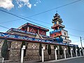
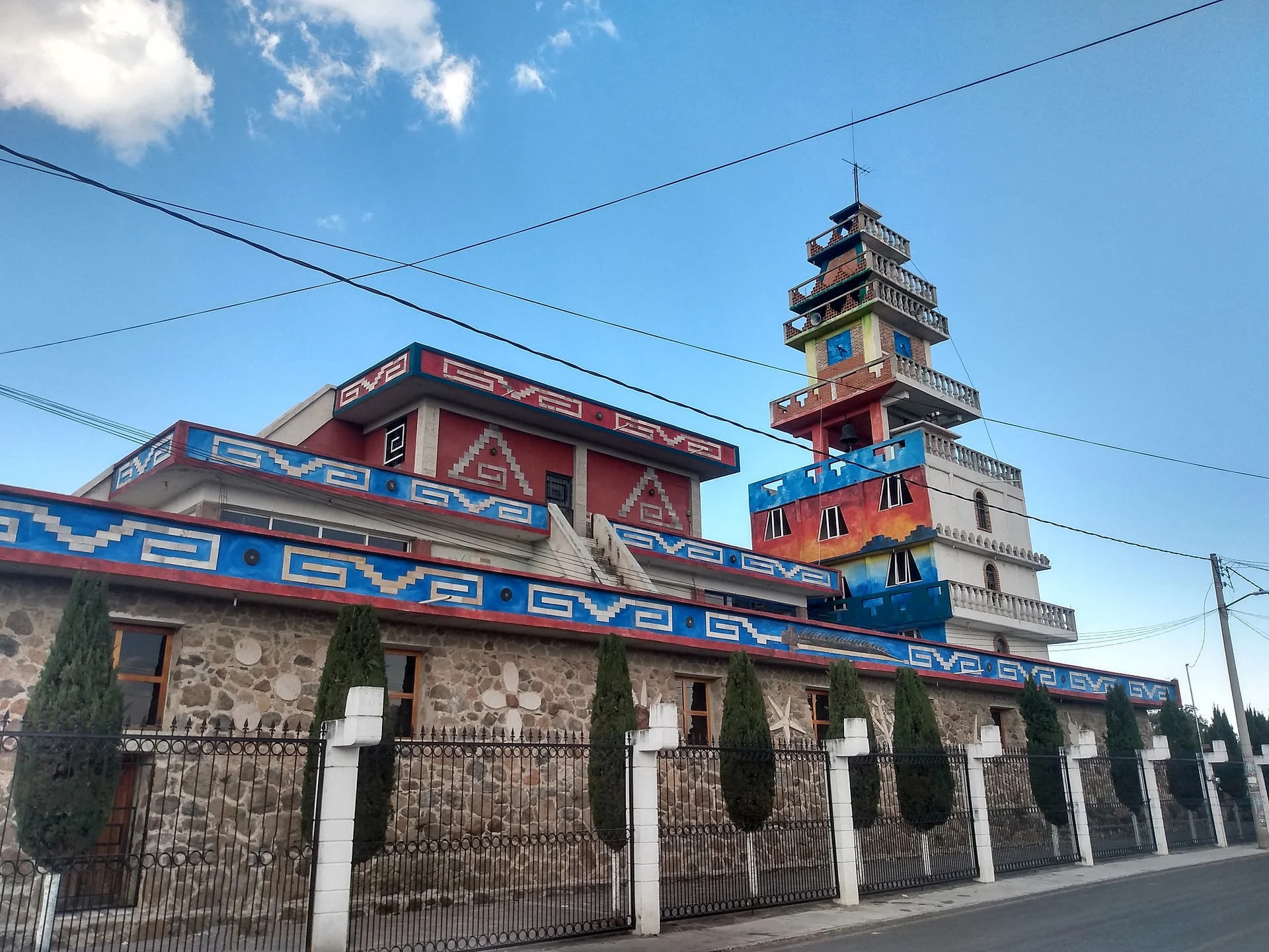
The building that identifies the locality is the Capilla de la Inmaculada Concepción, photographed on Wikimedia Commons; Wikipedia lists Lagunilla among localities under the patronage of the Immaculate Conception, though.
Lagunilla lies a few kilometres from Presa El Muerto and José María Morelos Buenavista, and the dam is fed partly by the Lagunillas channel, which carries water only in the rainy season. It is more a stop for people travelling through Tlaxco's rural communities than a place with organised attractions.
How to get to Lagunilla
Drive from Chiautempan: 45 min, 45 km
Lagunilla is in the municipality of Tlaxco, about 16 km west of the municipal seat in a straight line (calculated from coordinates), at 2,582 m. Tlaxco is about 44 km from Tlaxcala, 25 km from Apizaco and 74 km from Puebla, and its main roads are the Tlaxco-Apizaco road, the Tlaxco-Chignahuapan road and federal highway 119D. From Tlaxco head west toward José María Morelos Buenavista and ask for the way to Lagunilla; by car it is about 20 minutes.. Regional buses run to Tlaxco from Tlaxcala and Apizaco; the nearest big city is Tlaxcala (about 44 km to Tlaxco).
Directions to Lagunilla on Google Maps
Distances are in a straight line; the road is usually longer.
Links open a partner site. We may earn a commission if you book, at no cost to you.
From the nearest cities to Lagunilla
- Chiautempan · 45 km by road, 45 min
- San Martín Texmelucan · 55 km by road, 1 h
- Huamantla · 66 km by road, 1 h
Drive times by road from OpenStreetMap, without traffic or stops. Times marked ~ are estimated from the straight-line distance.
Visiting Lagunilla: what to see and do
The Capilla de la Inmaculada Concepción
Rural life in the Tlaxco highlands, at 2,582 m
Presa El Muerto, near Buenavista
In Tlaxco, the Parroquia de San Agustín, a federal monument with an altarpiece finished in 1760
Plan your trip
Places to stay in Lagunilla
Compare hotels, posadas, and rentals in and around Lagunilla.
Tours & activities
Day trips and guided outings from Tlaxco often include Lagunilla; with a local guide you can get there without a car.
Rental cars
Pick up a car at PBC (Puebla): about 1 h 6 min by road to Tlaxco, then 16 km more to Lagunilla, on your own schedule.
Flights
The nearest airport with scheduled flights is Puebla (PBC), about 1 h 6 min by road from Tlaxco, the base for Lagunilla.
Mobile data
Signal can drop away from Tlaxco: download a map of the way to Lagunilla before you set out, or carry an eSIM with data.
Links open a partner site. We may earn a commission if you book, at no cost to you.
When to go to Lagunilla cool
Lagunilla shares the climate of Tlaxco, 16 km away. The best months to visit are January, February, November, and December.
See the month-by-month climate of Tlaxco
Weather in Lagunilla now and the next 7 days
Live forecast from Open-Meteo. Chance of rain is the day's highest.
The closest Pueblo Mágico: Tlaxco

Tlaxco is the Pueblo Mágico closest to Lagunilla, with places to stay, food, and more to see.
Also close to
- Chignahuapan · Puebla · 33 km away
- Zacatlán · Puebla · 47 km away
- Otumba · Estado de México · 51 km away
- Zempoala · Hidalgo · 52 km away
- Huamantla · Tlaxcala · 52 km away
Closest to Lagunilla
-
Mariano Matamoros · Village · 2 km away
-
Mazaquiáhuac · Village · 2 km away
-
Maguey Cenizo · Village · 4 km away
-
San José Tepeyahualco · Village · 4 km away
-
San Lorenzo Soltepec · Village · 5 km away
-
El Rosario · Town · 6 km away
-
Presa El Muerto · Lake · 6 km away
-
José María Morelos Buenavista · Village · 7 km away


Near Lagunilla


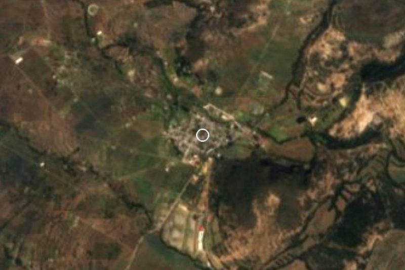


Drive times by road from OpenStreetMap, without traffic. Times marked ~ are estimated from the straight-line distance.
Location from OpenStreetMap. Written by Puebloteca.