

Village Tlaxco, Tlaxcala Municipality of Tlaxco Northern Tlaxcala
Hamlet of 152 people at 2,601 m, born from the breakup of the Mazaquiáhuac hacienda, with a gabled chapel and a white bell tower.
From Chiautempan: 55 min by car (51 km by road) How to get there ↓
Near here
See everything nearby ↓


Plan your visit to Maguey Cenizo
Where to stay near Maguey Cenizo
Compare hotels, posadas and guest houses in Maguey Cenizo.
Tours to Maguey Cenizo
Day trips and guided outings from Tlaxco often include Maguey Cenizo; with a local guide you can get there without a car.
 Tours from Zacatlan
Zacatlán Guided Tour walking through the Center
★ 5.0 (2) · From US$8
How to get to Maguey Cenizo
- From Chiautempan: about 55 min by road (~51 km)
- Nearest airport: Puebla (PBC), 1 h 6 min by car to Tlaxco
Links open a partner site. We may earn a commission if you book, at no cost to you.
Tours from Zacatlan, near Maguey Cenizo
Tours, prices and ratings from Viator, checked weekly. We may earn a commission if you book.
About Maguey Cenizo
Maguey Cenizo is one of the smallest and highest places in this part of Tlaxco: 2,601 metres above sea level and 152 residents at the 2020 census (90 women and 62 men) in 35 homes. It ranks 29th among the municipality's 221 localities. The climate is temperate highland, with a mean of 12.8 °C, January the coldest month (10.3 °C) and almost 733 mm of rain a year spread over some 234 days.
The name refers to the maguey, and the community's origin lies in the land itself: when agrarian reform broke up the Mazaquiáhuac and El Rosario hacienda complex from 1939, one of the grants was an ejido called Maguey Cenizo, of 234 hectares, one of eight carved out of those pulque estates. The ex-hacienda, now a military base, is 2.5 km to the east.
The chapel is the building you see from the road. In the Commons photo it has a steeply pitched gabled roof, a large arched window topped by a colourful decoration, a double staircase with a white balustrade leading to the main entrance, orange doors and a white bell tower behind, on a lawn with cypresses. Around it are ranches of one or two residents, such as El Jagüey de los Columpios and Loma Bonita, and the nearest sizeable community is Mariano Matamoros, 2.2 km to the southeast. 2.63% of residents identify as Indigenous.
How to get to Maguey Cenizo
Drive from Chiautempan: 55 min, 51 km
Maguey Cenizo is about 19 km in a straight line west of Tlaxco, the municipal seat and Pueblo Mágico (roughly 30 km and 33 minutes by car according to the locality directory based on INEGI). To reach Tlaxco there is a direct bus from TAPO in Mexico City with Autotransportes Tlaxcala, Apizaco, Huamantla (ATAH): about 2 h 30 min, with departures roughly every 4 hours according to Rome2rio. From Apizaco, Autobuses Teotihuacan runs to Tlaxco every hour in about 25 minutes. From town to the hamlet you take secondary roads; there are no published schedules for public transport straight there, so your own car or a taxi from Tlaxco is the practical choice. Mariano Matamoros (2.2 km) and Mazaquiáhuac (2.5 km) are close, so the three communities fit into a single outing.
Directions to Maguey Cenizo on Google Maps
Distances are in a straight line; the road is usually longer.
Links open a partner site. We may earn a commission if you book, at no cost to you.
From the nearest cities to Maguey Cenizo
- Chiautempan · 51 km by road, 55 min
- Huamantla · 71 km by road, 1 h 5 min
- San Martín Texmelucan · 60 km by road, 1 h 10 min
Drive times by road from OpenStreetMap, without traffic or stops. Times marked ~ are estimated from the straight-line distance.
Visiting Maguey Cenizo: what to see and do
The gabled chapel with its arched window and white tower.
The maguey and farm plots of the ejido that shares the village's name.
The ex-hacienda of Mazaquiáhuac, 2.5 km east, now a military installation.
Mariano Matamoros, 2.2 km southeast, with its stepped-tower church.
Plan your trip
Places to stay in Maguey Cenizo
Compare hotels, posadas, and rentals in and around Maguey Cenizo.
Tours & activities
Day trips and guided outings from Tlaxco often include Maguey Cenizo; with a local guide you can get there without a car.
Rental cars
Pick up a car at PBC (Puebla): about 1 h 6 min by road to Tlaxco, then 19 km more to Maguey Cenizo, on your own schedule.
Flights
The nearest airport with scheduled flights is Puebla (PBC), about 1 h 6 min by road from Tlaxco, the base for Maguey Cenizo.
Mobile data
Signal can drop away from Tlaxco: download a map of the way to Maguey Cenizo before you set out, or carry an eSIM with data.
Links open a partner site. We may earn a commission if you book, at no cost to you.
When to go to Maguey Cenizo cool
Maguey Cenizo shares the climate of Tlaxco, 19 km away. The best months to visit are January, February, November, and December.
See the month-by-month climate of Tlaxco
Weather in Maguey Cenizo now and the next 7 days
Live forecast from Open-Meteo. Chance of rain is the day's highest.
The closest Pueblo Mágico: Tlaxco

Tlaxco is the Pueblo Mágico closest to Maguey Cenizo, with places to stay, food, and more to see.
Also close to
- Chignahuapan · Puebla · 33 km away
- Zacatlán · Puebla · 45 km away
- Otumba · Estado de México · 48 km away
- Zempoala · Hidalgo · 48 km away
- Tetela de Ocampo · Puebla · 53 km away
Closest to Maguey Cenizo
-
Mariano Matamoros · Village · 2 km away
-
Mazaquiáhuac · Village · 2 km away
-
Lagunilla · Village · 4 km away
-
Tierra y Libertad · Town · 5 km away
-
El Rosario · Town · 7 km away
-
San José Tepeyahualco · Village · 8 km away
-
San Lorenzo Soltepec · Village · 8 km away
-
La Magdalena Soltepec · Village · 10 km away


Near Maguey Cenizo


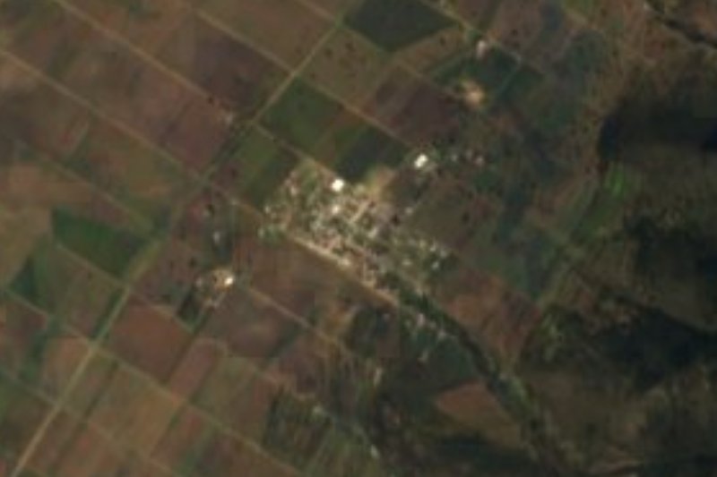


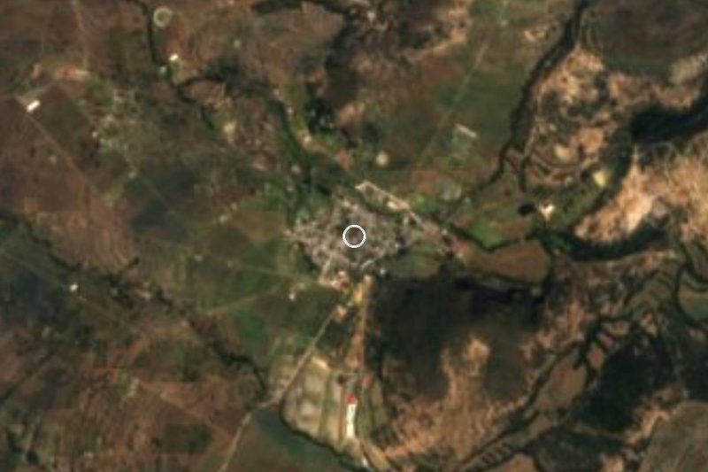
Drive times by road from OpenStreetMap, without traffic. Times marked ~ are estimated from the straight-line distance.
Location from OpenStreetMap. Written by Puebloteca.