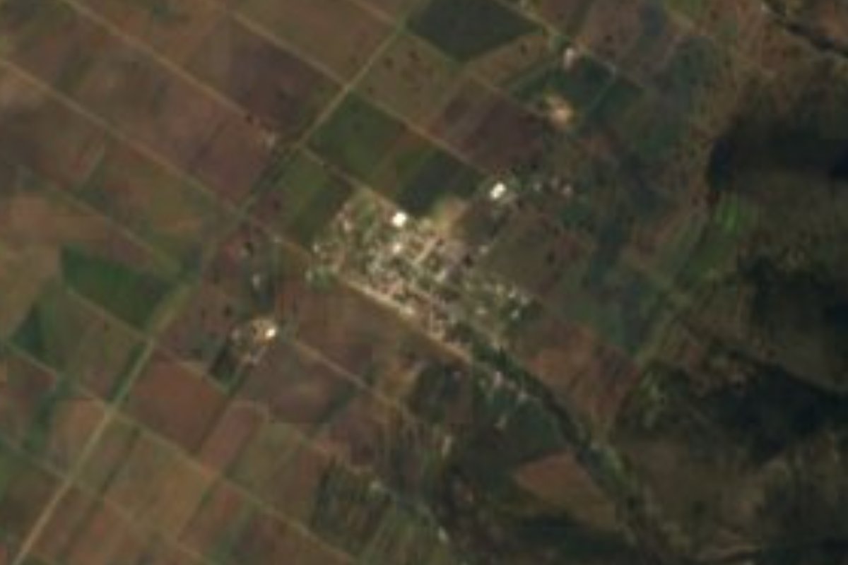
Village Apan, Hidalgo Municipality of Apan
A village of 610 people on the Apan plain at 2,518 m, in the watershed of the Tochac and Tecocomulco lagoons.
From San Martín Texmelucan: 45 min by car (53 km by road) How to get there ↓
Near here
See everything nearby ↓




Plan your visit to Los Voladores
Where to stay near Los Voladores
Compare hotels, posadas and guest houses in Los Voladores.
Tours to Los Voladores
Day trips and guided outings from Otumba often include Los Voladores; with a local guide you can get there without a car.
 Tours from Zacatlan
Zacatlán Guided Tour walking through the Center
★ 5.0 (2) · From US$8
How to get to Los Voladores
- From San Martín Texmelucan: about 45 min by road (~53 km)
- Nearest airport: Mexico City (Felipe Ángeles) (NLU), 43 min by car to Otumba
Links open a partner site. We may earn a commission if you book, at no cost to you.
Tours from Zacatlan, near Los Voladores
Tours, prices and ratings from Viator, checked weekly. We may earn a commission if you book.
About Los Voladores
Los Voladores lies out on the Llanos de Apan at 2,518 metres above sea level, in the municipality of Apan in southern Hidalgo. The 2020 census counted 610 residents in 173 occupied homes, 1.31% of the municipal population. INEGI rates its marginalization as medium and its social lag as very low.
The ground is flat country of the Trans-Mexican Volcanic Belt, in the Lagos y Volcanes de Anáhuac subprovince. Runoff drains toward the watershed of the Tochac and Tecocomulco lagoons, and the climate is temperate and sub-humid with summer rain. Across the municipality the mean annual temperature is around 14 °C and about 620 mm of rain falls a year, June and August being the wettest months; at this altitude the cold of December and February is real.
The surroundings are typical pulque-plateau country: grass for sheep, rows of maguey, and patches of pine, oak and juniper. The Laguna de Tecocomulco, one of Hidalgo's three Ramsar sites (declared in 2003, 1,769 hectares), is not far. It is not a destination with attractions of its own: a stop on a drive across the Llanos de Apan.
How to get to Los Voladores
Drive from San Martín Texmelucan: 45 min, 53 km
Los Voladores belongs to the municipality of Apan and lies about 9 km southwest of Apan town according to Wikipedia (INEGI data); the map pin is somewhat closer, so count on 6 to 9 km. Apan, the municipal seat, is the natural starting point, and the local roads out onto the plain begin there.
In a straight line Otumba (a Pueblo Mágico) is about 27 km away and Tulancingo about 47 km; by road it is farther, at least about 30 and 55 minutes. The ground is flat, but in the wettest months (June and August) it is worth asking about the state of the dirt tracks before heading in.
Directions to Los Voladores on Google Maps
Distances are in a straight line; the road is usually longer.
Links open a partner site. We may earn a commission if you book, at no cost to you.
From the nearest cities to Los Voladores
- San Martín Texmelucan · 53 km by road, 45 min
- Chiautempan · 72 km by road, 1 h
- Pachuca · 74 km by road, 1 h 5 min
Drive times by road from OpenStreetMap, without traffic or stops. Times marked ~ are estimated from the straight-line distance.
Before you go to Los Voladores: hours, prices and tips
- Best season
- The wettest months in the municipality are June and August, the driest February and December; mean annual temperature is about 14 °C. Wikipedia: Municipio de Apan · checked Oct 2026
Hours and prices change, especially around holidays. Each fact links to where we checked it.
Visiting Los Voladores: what to see and do
The Llanos de Apan: open plain above 2,500 m with pasture and maguey fields
Laguna de Tecocomulco, a Ramsar site in the same watershed (1,769 ha)
Cerro Chulco, the municipality's best-known rise at 2,488 m
The town of Apan, the municipal seat
Plan your trip
Places to stay in Los Voladores
Compare hotels, posadas, and rentals in and around Los Voladores.
Tours & activities
Day trips and guided outings from Otumba often include Los Voladores; with a local guide you can get there without a car.
Rental cars
Pick up a car at NLU (Mexico City (Felipe Ángeles)): about 43 min by road to Otumba, then 27 km more to Los Voladores, on your own schedule.
Flights
The nearest airport with scheduled flights is Mexico City (Felipe Ángeles) (NLU), about 43 min by road from Otumba, the base for Los Voladores.
Mobile data
Signal can drop away from Otumba: download a map of the way to Los Voladores before you set out, or carry an eSIM with data.
Links open a partner site. We may earn a commission if you book, at no cost to you.
When to go to Los Voladores cool
Los Voladores shares the climate of Otumba, 27 km away. The best months to visit are January, February, November, and December.
See the month-by-month climate of Otumba
Weather in Los Voladores now and the next 7 days
Live forecast from Open-Meteo. Chance of rain is the day's highest.
The closest Pueblo Mágico: Otumba

Otumba is the Pueblo Mágico closest to Los Voladores, with places to stay, food, and more to see.
Also close to
- Zempoala · Hidalgo · 32 km away
- Teotihuacán · Estado de México · 37 km away
- Tlaxco · Tlaxcala · 40 km away
- Chignahuapan · Puebla · 51 km away
- Real del Monte · Hidalgo · 54 km away
Closest to Los Voladores
-
Chimalpa Tlalayote · Village · 3 km away
-
Apan · Town · 6 km away
-
Ocotepec · Village · 6 km away
-
Laguna de San Antonio de Atocha · Lagoon · 8 km away
-
Benito Juárez · Town · 13 km away
-
Ciudad Sahagún · Town · 13 km away
-
Tepeapulco · Town · 13 km away
-
Calpulalpan · Town · 14 km away


Near Los Voladores


Drive times by road from OpenStreetMap, without traffic. Times marked ~ are estimated from the straight-line distance.
Location from OpenStreetMap. Written by Puebloteca.