

Town Tlaxco, Tlaxcala Municipality of Tlaxco
Locality in Tlaxco, known as Unión Ejidal Tierra y Libertad, the fifth-largest in the municipality, at about 2,500 m.
From Chiautempan: 45 min by car (49 km by road) How to get there ↓
Near here
See everything nearby ↓


Plan your visit to Tierra y Libertad
Where to stay near Tierra y Libertad
Compare hotels, posadas and guest houses in Tierra y Libertad.
Tours to Tierra y Libertad
Day trips around Tlaxco sometimes stop in Tierra y Libertad; a tour is the easy way to see it without a car.
 Tours from Zacatlan
Zacatlán Guided Tour walking through the Center
★ 5.0 (2) · From US$8
How to get to Tierra y Libertad
- From Chiautempan: about 45 min by road (~49 km)
- Nearest airport: Puebla (PBC), 1 h 6 min by car to Tlaxco
Links open a partner site. We may earn a commission if you book, at no cost to you.
Tours from Zacatlan, near Tierra y Libertad
Tours, prices and ratings from Viator, checked weekly. We may earn a commission if you book.
About Tierra y Libertad
Tierra y Libertad, listed in official records as Unión Ejidal Tierra y Libertad, is a locality in the municipality of Tlaxco, in the northern highlands of Tlaxcala, at about 2,510 metres above sea level. The name takes up the Mexican Revolution slogan attributed to Ricardo Flores Magón and popularised by Emiliano Zapata. It is the fifth-largest of the municipality's 221 localities, with 2,593 people at the 2020 census (2,210 in 2010 and 1,773 in 2000); in 1980 there were 737.
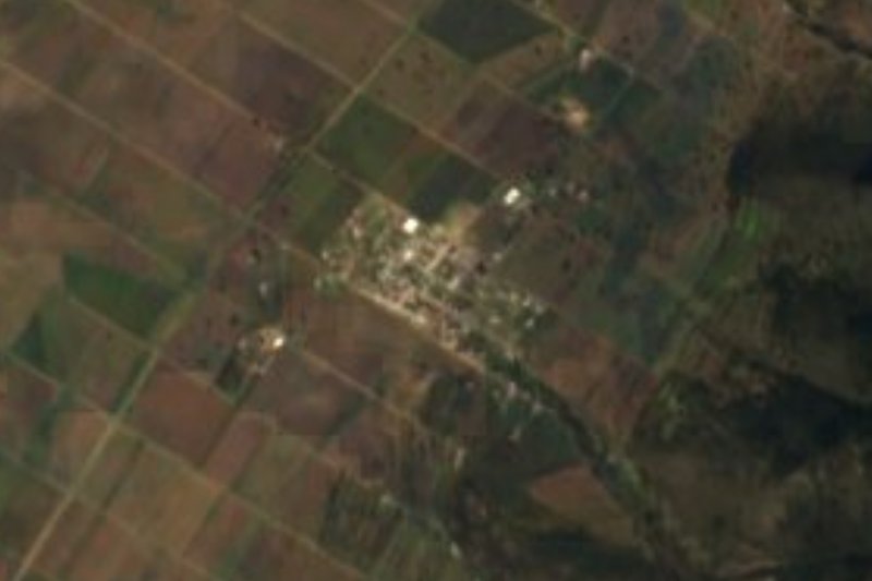
It is a dispersed settlement: its nearest neighbours are small ranches and hamlets such as Tlalpiza (0.8 km, with one resident), Daniel Muñoz (1 km) and Rancho Santa Rosa (1.4 km), while larger villages lie farther off, such as Santiago Tetlapayac, about 3.6 km away, and Ocotepec de Morelos at 4.6 km. Nearly all homes have electricity and piped water, though only about one in ten has internet.
The locality has an upper-secondary school, CEBTis 05, whose founding director served from 2005 to 2008, and a church dedicated to the Niños Mártires de Tlaxcala (the Child Martyrs of Tlaxcala), mentioned in a Tlaxco municipal document. There is no lodging in the village; the nearest is 17 to 21 km away. Visitors usually pair it with a trip to the city of Tlaxco, a Pueblo Mágico, about 33 km by road.
How to get to Tierra y Libertad
Drive from Chiautempan: 45 min, 49 km
Tierra y Libertad is about 23.5 km west of the city of Tlaxco as the crow flies; by road it is approx. 33 km and about 37 minutes by car. Tlaxco itself is about 44 km from Tlaxcala city, and its main roads are the Tlaxco–Apizaco and Tlaxco–Chignahuapan roads and federal highway 119D. From Tlaxco, local roads lead to the Unión Ejidal. There is no published public-transport route to the village; it is best reached by car, or ask in Tlaxco about shared transport and taxis. There is no registered lodging in the village.
Directions to Tierra y Libertad on Google Maps
Distances are in a straight line; the road is usually longer.
Links open a partner site. We may earn a commission if you book, at no cost to you.
From the nearest cities to Tierra y Libertad
- Chiautempan · 49 km by road, 45 min
- San Martín Texmelucan · 58 km by road, 1 h
- Huamantla · 71 km by road, 1 h
Drive times by road from OpenStreetMap, without traffic or stops. Times marked ~ are estimated from the straight-line distance.
Visiting Tierra y Libertad: what to see and do
The community church, dedicated to the Niños Mártires de Tlaxcala
Highland scenery at about 2,500 m
Santiago Tetlapayac, a neighbouring village about 3.6 km away
The city of Tlaxco, a Pueblo Mágico, about 33 km away
The Tlaxco fair, in honour of San Agustín, from 23 July to 31 August
Plan your trip
Places to stay in Tierra y Libertad
Compare hotels, posadas, and rentals in and around Tierra y Libertad.
Tours & activities
Day trips around Tlaxco sometimes stop in Tierra y Libertad; a tour is the easy way to see it without a car.
Rental cars
Pick up a car at PBC (Puebla): about 1 h 6 min by road to Tlaxco, then 23 km more to Tierra y Libertad, on your own schedule.
Flights
The nearest airport with scheduled flights is Puebla (PBC), about 1 h 6 min by road from Tlaxco, the base for Tierra y Libertad.
Mobile data
Signal can drop away from Tlaxco: download a map of the way to Tierra y Libertad before you set out, or carry an eSIM with data.
Links open a partner site. We may earn a commission if you book, at no cost to you.
When to go to Tierra y Libertad cool
Tierra y Libertad shares the climate of Tlaxco, 23 km away. The best months to visit are January, February, November, and December.
See the month-by-month climate of Tlaxco
Weather in Tierra y Libertad now and the next 7 days
Live forecast from Open-Meteo. Chance of rain is the day's highest.
The closest Pueblo Mágico: Tlaxco

Tlaxco is the Pueblo Mágico closest to Tierra y Libertad, with places to stay, food, and more to see.
Also close to
- Chignahuapan · Puebla · 37 km away
- Otumba · Estado de México · 44 km away
- Zempoala · Hidalgo · 45 km away
- Zacatlán · Puebla · 50 km away
- Teotihuacán · Estado de México · 53 km away
Closest to Tierra y Libertad
-
Maguey Cenizo · Village · 5 km away
-
Mazaquiáhuac · Village · 5 km away
-
Mariano Matamoros · Village · 6 km away
-
San Lorenzo Soltepec · Village · 6 km away
-
Lagunilla · Village · 7 km away
-
La Magdalena Soltepec · Village · 9 km away
-
Presa El Muerto · Lake · 10 km away
-
San José Tepeyahualco · Village · 10 km away


Near Tierra y Libertad




Drive times by road from OpenStreetMap, without traffic. Times marked ~ are estimated from the straight-line distance.
Location from OpenStreetMap. Written by Puebloteca.