Town Tlaxco, Tlaxcala Municipality of Tlaxco Northern Tlaxcala
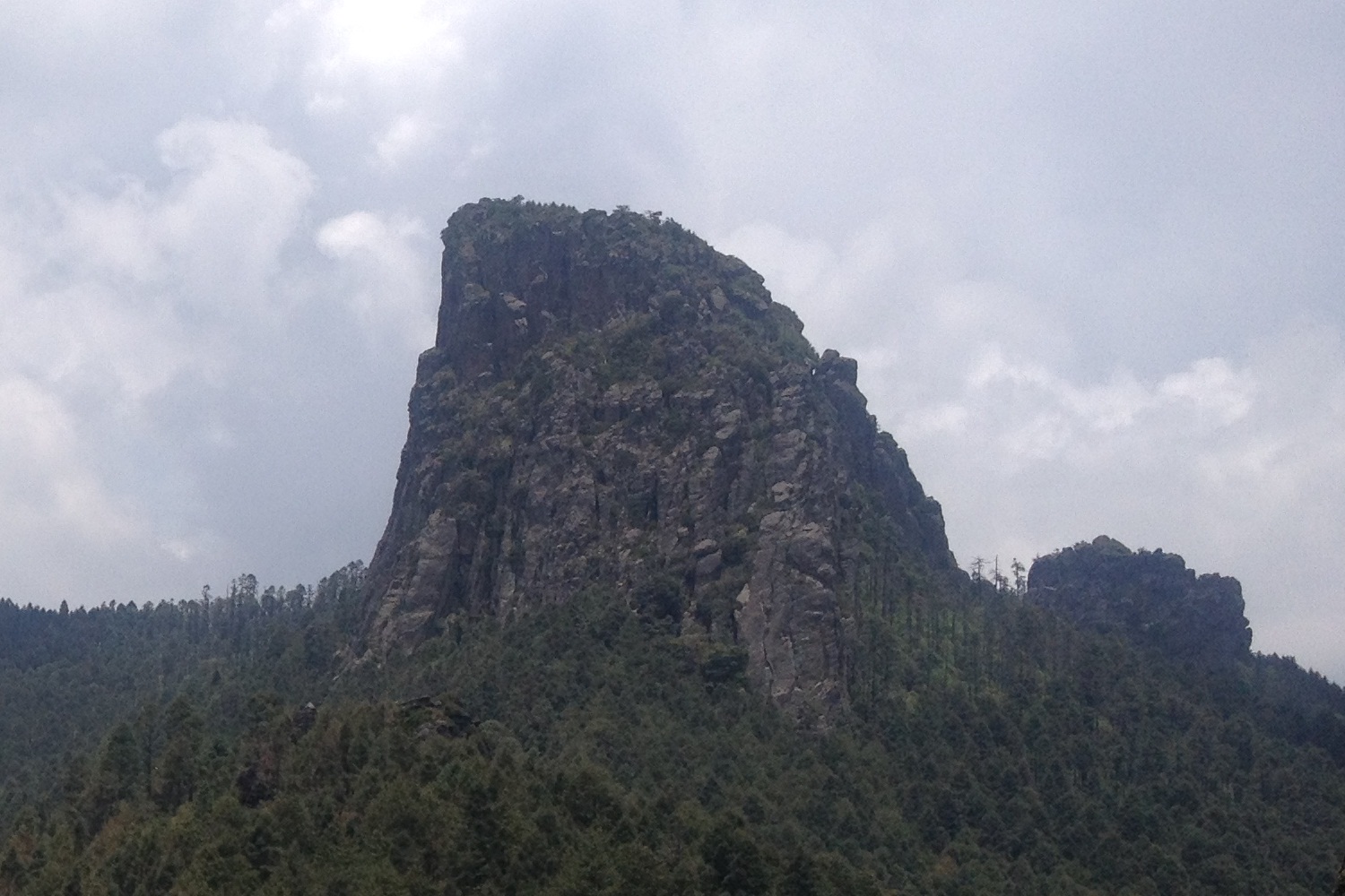
Mountain locality in Tlaxco at 2,694 m, at the foot of the Peñón del Rosario, the climbing and hiking crag that carries its name.
From Chiautempan: 55 min by car (52 km by road) How to get there ↓
Near here
See everything nearby ↓


Plan your visit to El Rosario
Where to stay near El Rosario
Compare hotels, posadas and guest houses in El Rosario.
Tours to El Rosario
Day trips around Tlaxco sometimes stop in El Rosario; a tour is the easy way to see it without a car.
 Monarch Butterfly El Rosario Private Tour by Car
From US$155
How to get to El Rosario
- From Chiautempan: about 55 min by road (~52 km)
- Nearest airport: Puebla (PBC), 1 h 6 min by car to Tlaxco
Links open a partner site. We may earn a commission if you book, at no cost to you.
Popular tours to El Rosario
Tours, prices and ratings from Viator, checked weekly. We may earn a commission if you book.
About El Rosario
El Rosario is a locality in the municipality of Tlaxco, in the northern Tlaxcala highlands, at 2,694 metres above sea level. Its name comes from its patron saint, Nuestra Señora del Rosario. The 2020 census counted 2,754 residents, more than double the figure at the start of the 20th century: 664 in 1900, 381 in 1940, 1,226 in 1980, 1,934 in 2000 and 2,368 in 2010.
What sets it apart on the map is the rock that rises above it. The Peñón del Rosario, a stone tower of roughly 3,400 metres that climbs almost vertically on three sides, takes its name from this village: El Rosario lies southwest of the summit and Acopinalco del Peñón southeast. The way to the top starts on the western side, from both villages along a forestry track, and a stretch of steps eases the final ascent. Climbers use it for its vertical walls and hikers for the views over the valley.
A local legend says the xochuca, the weeping flower, once grew on this rock, and that a ruler of Tlaxcallan sent for it to cover his daughter's tomb. Tlaxco, the municipal seat and a Pueblo Mágico, is about 12 km away, with the parish of San Agustín, the Laberintos de Tlaxco and the Feria de San Agustín in late August.
How to get to El Rosario
Drive from Chiautempan: 55 min, 52 km
El Rosario is about 12 km (approx.) from Tlaxco, half an hour through the mountains. Tlaxco is 44 km from Tlaxcala city and 74 km from Puebla: from Tlaxcala take toll road 117D and then federal highway 119 north (43 km, under an hour; there are tolls on the 117D). By bus, ATAH runs hourly from TAPO in Mexico City to Tlaxco in about two hours. There are no published public transport schedules from Tlaxco to El Rosario; go by taxi or your own car, and if you plan to climb the Peñón start early, since suggested access is during daylight, 7:00 to 17:00.
Directions to El Rosario on Google Maps
Distances are in a straight line; the road is usually longer.
Links open a partner site. We may earn a commission if you book, at no cost to you.
From the nearest cities to El Rosario
- Chiautempan · 52 km by road, 55 min
- Huamantla · 65 km by road, 1 h
- San Martín Texmelucan · 76 km by road, 1 h 5 min
Drive times by road from OpenStreetMap, without traffic or stops. Times marked ~ are estimated from the straight-line distance.
Before you go to El Rosario: hours, prices and tips
- Hours
- Daylight visits are recommended, 7:00 to 17:00. Programa Destinos México · checked Oct 2026
- Entry
- Access to the Peñón is free. Programa Destinos México · checked Oct 2026
- Best time of day
- November to February for clear skies; trails get harder in the rainy season. Programa Destinos México · checked Oct 2026
- Guide or tour
- Certified local guides are recommended. Tours: Viator GetYourGuide Programa Destinos México · checked Oct 2026
- What to bring
- Layered thermal clothing, a waterproof windproof jacket, grippy mountain shoes, trekking poles, sunscreen and sunglasses. Programa Destinos México · checked Oct 2026
Hours and prices change, especially around holidays. Each fact links to where we checked it.
Visiting El Rosario: what to see and do
Look up at the Peñón del Rosario, the roughly 3,400 m rock tower above the village.
Climb to the summit by the forestry track on the west side, with a stretch of steps at the end.
Climb its vertical walls if you have gear and experience, or hike the high-mountain trails.
Hear the legend of the xochuca, the weeping flower said to have grown on this rock.
Head down to Tlaxco for the parish of San Agustín and the Laberintos de Tlaxco.
Plan your trip
Places to stay in El Rosario
Compare hotels, posadas, and rentals in and around El Rosario.
Tours & activities
Day trips around Tlaxco sometimes stop in El Rosario; a tour is the easy way to see it without a car.
Rental cars
Pick up a car at PBC (Puebla): about 1 h 6 min by road to Tlaxco, then 12 km more to El Rosario, on your own schedule.
Flights
The nearest airport with scheduled flights is Puebla (PBC), about 1 h 6 min by road from Tlaxco, the base for El Rosario.
Mobile data
Signal can drop away from Tlaxco: download a map of the way to El Rosario before you set out, or carry an eSIM with data.
Links open a partner site. We may earn a commission if you book, at no cost to you.
When to go to El Rosario cool
El Rosario shares the climate of Tlaxco, 12 km away. The best months to visit are January, February, November, and December.
See the month-by-month climate of Tlaxco
Weather in El Rosario now and the next 7 days
Live forecast from Open-Meteo. Chance of rain is the day's highest.
The closest Pueblo Mágico: Tlaxco

Tlaxco is the Pueblo Mágico closest to El Rosario, with places to stay, food, and more to see.
Also close to
- Chignahuapan · Puebla · 28 km away
- Zacatlán · Puebla · 41 km away
- Tetela de Ocampo · Puebla · 47 km away
- Huamantla · Tlaxcala · 50 km away
- Zempoala · Hidalgo · 54 km away
Closest to El Rosario
-
Peñón del Rosario · Mountain · 4 km away
-
Hacienda Xochuca · Landmark · 5 km away
-
Mariano Matamoros · Village · 5 km away
-
Lagunilla · Village · 6 km away
-
Acopinalco del Peñón · Village · 7 km away
-
Maguey Cenizo · Village · 7 km away
-
Mazaquiáhuac · Village · 7 km away
-
Rinconada · Village · 7 km away


Near El Rosario


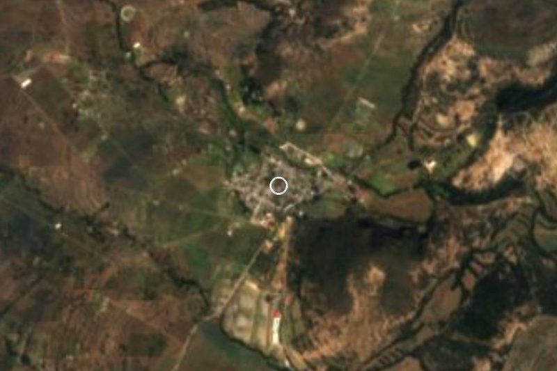


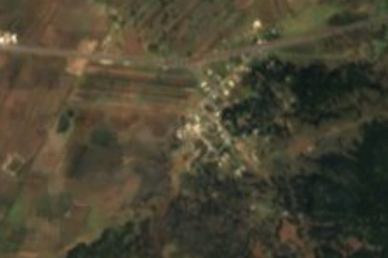
Drive times by road from OpenStreetMap, without traffic. Times marked ~ are estimated from the straight-line distance.
Location from OpenStreetMap. Written by Puebloteca.