

Village Almoloya, Hidalgo
Llanos de Apan village with an old hacienda 260 m from its centre; Apan, with hotels and restaurants, is about 2.4 km away.
From San Martín Texmelucan: 50 min by car (61 km by road) How to get there ↓
Near here
See everything nearby ↓



Plan your visit to Ocotepec
Where to stay near Ocotepec
Compare hotels, posadas and guest houses in Ocotepec.
Tours to Ocotepec
Day trips and guided outings from Tlaxco often include Ocotepec; with a local guide you can get there without a car.
 Experience the Day of the Dead Tour in Ocotopec from Mexico City
★ 3.7 (3) · From US$199
How to get to Ocotepec
- From San Martín Texmelucan: about 50 min by road (~61 km)
- Nearest airport: Puebla (PBC), 1 h 6 min by car to Tlaxco
Links open a partner site. We may earn a commission if you book, at no cost to you.
Popular tours to Ocotepec
Tours, prices and ratings from Viator, checked weekly. We may earn a commission if you book.
About Ocotepec
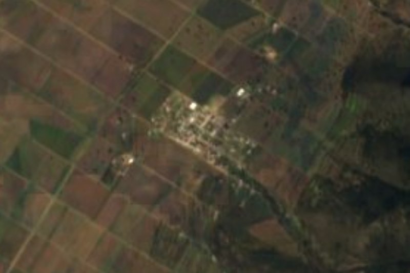
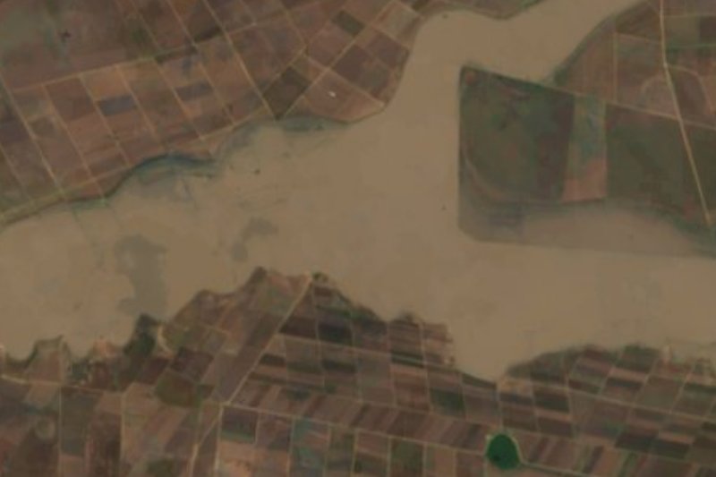
Ocotepec takes its name from Nahuatl and reads as "at the hill of the ocotes" (pitch pines), the etymology Wikipedia borrows from Cecilio Robelo. The village sits at 2,523 metres on the flat Llanos de Apan, in Almoloya municipality, and its water drains toward the Tochac and Tecocomulco lagoons. Weather is cool and temperate: about 13 °C on average over the year, January the coldest month, rain mostly in summer.
In 2020 it had 833 residents in 209 homes; INEGI records no speakers of an indigenous language, and almost every house has electricity and piped water. What sets the place apart is the former Hacienda San Francisco Ocotepec, which INEGI's locality map puts about 260 metres east of the centre, with some 70 inhabitants. The Escapada H guide includes it on its Apan haciendas route and says the estate was handed in 1824 to Leona Vicario and Andrés Quintana Roo, in return for the money they put into the independence cause.
The surroundings are plain broken by low hills: Cerro San Pedro (2,598 m) lies roughly 2 km west and Cerro San Fernando (2,648 m) about 2.4 km southwest, both within walking distance. The city of Apan, around 28,800 people, is 2.4 km to the northwest as the crow flies and holds the hotels and restaurants; Ocotepec itself has no lodging.
How to get to Ocotepec
Drive from San Martín Texmelucan: 50 min, 61 km
Ocotepec belongs to Almoloya municipality and lies about 3.4 km from the municipal seat in a straight line; Wikipedia puts it 3.75 km west. Almoloya is 66 km from Pachuca by the short route via Ciudad Sahagún, so from the state capital count roughly 70 km in all. The easiest base is Apan, about 2.4 km to the northwest, which has hotels (Emmanuel, Boutique Llanos de Apan, Plaza Inn María Elizabeth) and restaurants, and Ocotepec is a short hop from there. From the Pueblo Mágico of Zempoala it is about 46 km, around 60 minutes by car. A car, or a taxi from Apan, is the practical way in.
Directions to Ocotepec on Google Maps
Distances are in a straight line; the road is usually longer.
Links open a partner site. We may earn a commission if you book, at no cost to you.
From the nearest cities to Ocotepec
- San Martín Texmelucan · 61 km by road, 50 min
- Chiautempan · 61 km by road, 1 h
- Pachuca · 64 km by road, 1 h 5 min
Drive times by road from OpenStreetMap, without traffic or stops. Times marked ~ are estimated from the straight-line distance.
Visiting Ocotepec: what to see and do
Former Hacienda San Francisco Ocotepec, about 260 m east of the centre
Cerro San Pedro (2,598 m), roughly 2 km west
Cerro San Fernando (2,648 m), about 2.4 km southwest
The open plain of the Llanos de Apan and its low hills
Apan, 2.4 km northwest, for meals and a bed
Plan your trip
Places to stay in Ocotepec
Compare hotels, posadas, and rentals in and around Ocotepec.
Tours & activities
Day trips and guided outings from Tlaxco often include Ocotepec; with a local guide you can get there without a car.
Rental cars
Pick up a car at PBC (Puebla): about 1 h 6 min by road to Tlaxco, then 34 km more to Ocotepec, on your own schedule.
Flights
The nearest airport with scheduled flights is Puebla (PBC), about 1 h 6 min by road from Tlaxco, the base for Ocotepec.
Mobile data
Signal can drop away from Tlaxco: download a map of the way to Ocotepec before you set out, or carry an eSIM with data.
Links open a partner site. We may earn a commission if you book, at no cost to you.
When to go to Ocotepec cool
Ocotepec shares the climate of Tlaxco, 34 km away. The best months to visit are January, February, November, and December.
See the month-by-month climate of Tlaxco
Weather in Ocotepec now and the next 7 days
Live forecast from Open-Meteo. Chance of rain is the day's highest.
The closest Pueblo Mágico: Tlaxco

Tlaxco is the Pueblo Mágico closest to Ocotepec, with places to stay, food, and more to see.
Also close to
- Otumba · Estado de México · 34 km away
- Zempoala · Hidalgo · 35 km away
- Teotihuacán · Estado de México · 43 km away
- Chignahuapan · Puebla · 45 km away
- Real del Monte · Hidalgo · 55 km away
Closest to Ocotepec
-
Apan · Town · 2 km away
-
Los Voladores · Village · 6 km away
-
Chimalpa Tlalayote · Village · 9 km away
-
Laguna de San Antonio de Atocha · Lagoon · 9 km away
-
Tierra y Libertad · Town · 11 km away
-
Benito Juárez · Town · 12 km away
-
Ignacio Zaragoza · Village · 15 km away
-
Maguey Cenizo · Village · 15 km away


Near Ocotepec


Drive times by road from OpenStreetMap, without traffic. Times marked ~ are estimated from the straight-line distance.
Location from OpenStreetMap. Written by Puebloteca.