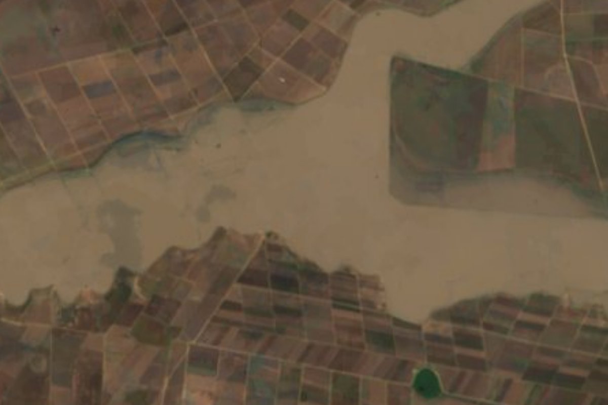
Lagoon Apan, Hidalgo Municipality of Apan
Laguna de Tochac, a remnant of the Basin of Mexico lakes in southern Apan, with endangered aquatic plants and carp fishing.
From San Martín Texmelucan: 1 h by car (60 km by road) How to get there ↓
Near here
See everything nearby ↓



Plan your visit to Laguna de San Antonio de Atocha
Where to stay near Laguna de San Antonio de Atocha
Compare hotels, posadas and guest houses in Laguna de San Antonio de Atocha.
Tours to Laguna de San Antonio de Atocha
Day trips and guided outings from Otumba often include Laguna de San Antonio de Atocha; with a local guide you can get there without a car.
How to get to Laguna de San Antonio de Atocha
- From San Martín Texmelucan: about 1 h by road (~60 km)
- Nearest airport: Mexico City (Felipe Ángeles) (NLU), 43 min by car to Otumba
Links open a partner site. We may earn a commission if you book, at no cost to you.
About Laguna de San Antonio de Atocha
Laguna de San Antonio de Atocha, also called Laguna de Tochac, lies in the southern part of the municipality of Apan at 2,480 metres above sea level. It is long and narrow, about 7.5 hectares, with a temperate sub-humid climate and summer rains. Studies describe it as a well-preserved relict of the great lakes that once covered the Basin of Mexico, together with the Apan and Tecocomulco lagoons, the only others of that system left in this area besides Zumpango, Chalco and Xochimilco.
Water arrives through the Atocha and Malayerba streams and from the San Marcos, Calpulalpan and Amaxac rivers, which run down from western Tlaxcala. With Tecocomulco, Tochac is the last refuge of endemic and endangered aquatic plants such as the yellow water star (Nymphoides fallax) and Sagittaria demersa.
Maize, barley, broad beans and beans are grown all around. Some farmers have raised embankments of up to three metres along the shore to gain land from the water, so the level on the east and west edges changes sharply through the year. In Lázaro Cárdenas, the village nearest the lake, a fishing cooperative catches carp.
How to get to Laguna de San Antonio de Atocha
Drive from San Martín Texmelucan: 1 h, 60 km
The lagoon is in the southern part of the municipality of Apan, Hidalgo. In a straight line it is about 52 km from Tulancingo and about 33 km from Otumba (approx.). The village nearest the lake is Lázaro Cárdenas, home to a fishing cooperative, so it is the place to ask about access to the shore. The banks are farmland with embankments, so a car is best and plots should not be crossed without permission.
Directions to Laguna de San Antonio de Atocha on Google Maps
Distances are in a straight line; the road is usually longer.
Links open a partner site. We may earn a commission if you book, at no cost to you.
From the nearest cities to Laguna de San Antonio de Atocha
- San Martín Texmelucan · 60 km by road, 1 h
- Chiautempan · 67 km by road, 1 h 10 min
- Pachuca · 71 km by road, 1 h 15 min
Drive times by road from OpenStreetMap, without traffic or stops. Times marked ~ are estimated from the straight-line distance.
Visiting Laguna de San Antonio de Atocha: what to see and do
The long lagoon of about 7.5 hectares at 2,480 m.
Endemic aquatic plants such as Nymphoides fallax and Sagittaria demersa.
The farm embankments along the shore.
The carp fishing cooperative in Lázaro Cárdenas.
Plan your trip
Places to stay in Laguna de San Antonio de Atocha
Compare hotels, posadas, and rentals in and around Laguna de San Antonio de Atocha.
Tours & activities
Day trips and guided outings from Otumba often include Laguna de San Antonio de Atocha; with a local guide you can get there without a car.
Rental cars
Pick up a car at NLU (Mexico City (Felipe Ángeles)): about 43 min by road to Otumba, then 33 km more to Laguna de San Antonio de Atocha, on your own schedule.
Flights
The nearest airport with scheduled flights is Mexico City (Felipe Ángeles) (NLU), about 43 min by road from Otumba, the base for Laguna de San Antonio de Atocha.
Mobile data
Signal can drop away from Otumba: download a map of the way to Laguna de San Antonio de Atocha before you set out, or carry an eSIM with data.
Links open a partner site. We may earn a commission if you book, at no cost to you.
When to go to Laguna de San Antonio de Atocha cool
Laguna de San Antonio de Atocha shares the climate of Otumba, 33 km away. The best months to visit are January, February, November, and December.
See the month-by-month climate of Otumba
Weather in Laguna de San Antonio de Atocha now and the next 7 days
Live forecast from Open-Meteo. Chance of rain is the day's highest.
The closest Pueblo Mágico: Otumba

Otumba is the Pueblo Mágico closest to Laguna de San Antonio de Atocha, with places to stay, food, and more to see.
Also close to
- Tlaxco · Tlaxcala · 35 km away
- Zempoala · Hidalgo · 40 km away
- Teotihuacán · Estado de México · 42 km away
- Chignahuapan · Puebla · 50 km away
- Huejotzingo · Puebla · 51 km away
Closest to Laguna de San Antonio de Atocha
-
Benito Juárez · Town · 5 km away
-
Chimalpa Tlalayote · Village · 8 km away
-
Los Voladores · Village · 8 km away
-
Ignacio Zaragoza · Village · 9 km away
-
Ocotepec · Village · 9 km away
-
Apan · Town · 10 km away
-
Domingo Arenas · Village · 12 km away
-
Tierra y Libertad · Town · 12 km away


Near Laguna de San Antonio de Atocha


Drive times by road from OpenStreetMap, without traffic. Times marked ~ are estimated from the straight-line distance.
Lists with Laguna de San Antonio de Atocha
Lakes and Lagoons in Hidalgo · 11 Lakes and Lagoons near Otumba · 9 Lakes and Lagoons near Tlaxco · 5 Lakes and Lagoons near San Martín Texmelucan · 6 Lakes and Lagoons near Zempoala · 8 Lakes and Lagoons near Teotihuacán · 11 Lakes and Lagoons near Chiautempan · 4 Lakes and Lagoons near Chignahuapan · 6Location from OpenStreetMap. Written by Puebloteca.