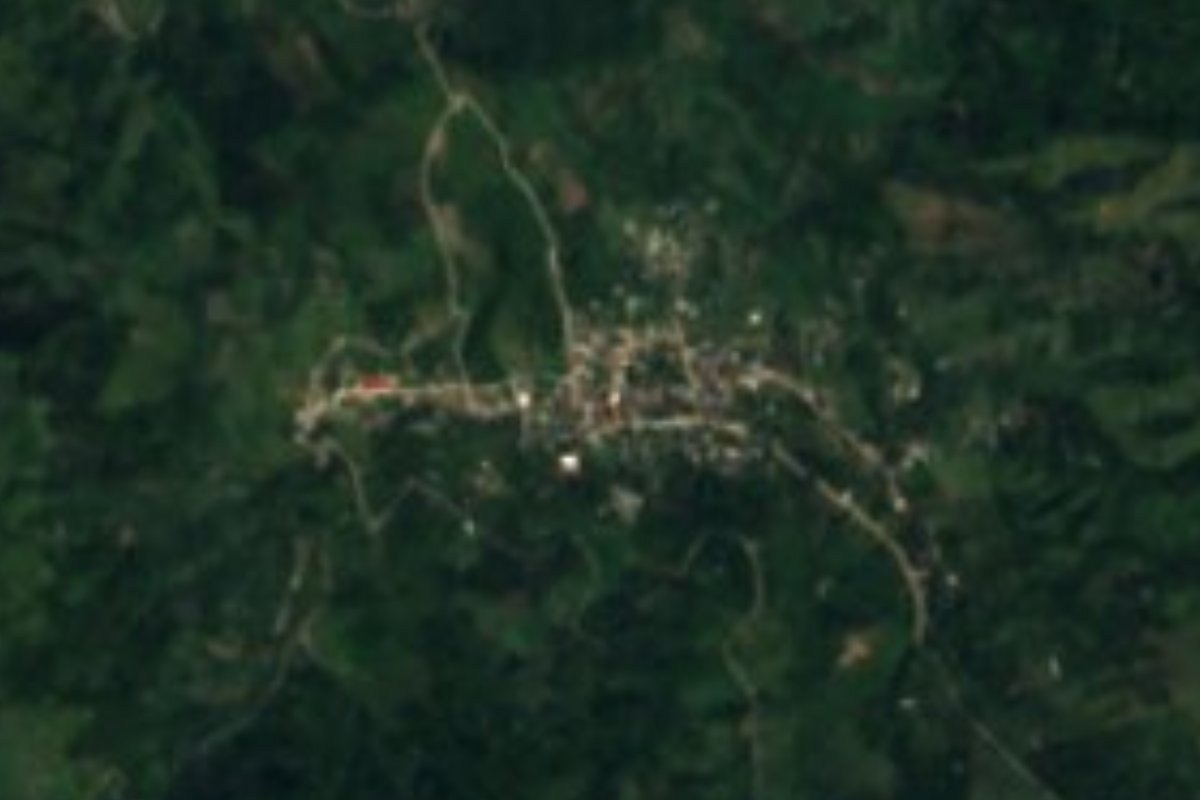
Village Tlaola, Puebla Municipality of Tlaola Sierra Norte de Puebla
Sierra Norte seat 14 km from Huauchinango, where up to 2,600 mm of rain falls a year and quetzalines, voladores and huehues dance in August.
From Huauchinango: 35 min by car (28 km by road) How to get there ↓
Near here
See everything nearby ↓


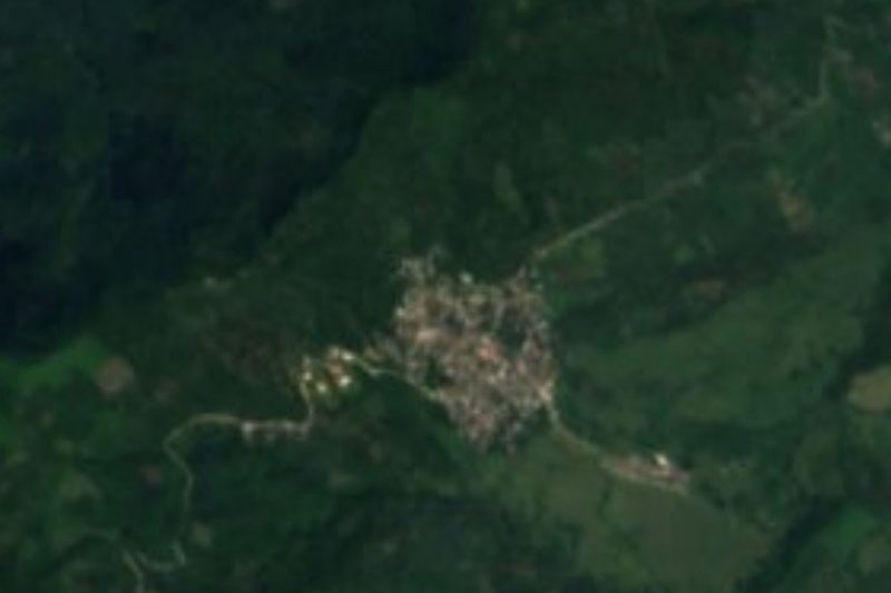
Plan your visit to Tlaola
Where to stay near Tlaola
Compare hotels, posadas and guest houses in Tlaola.
Tours to Tlaola
Day trips and guided outings from Huauchinango often include Tlaola; with a local guide you can get there without a car.
How to get to Tlaola
- From Huauchinango: about 35 min by road (~28 km)
- Nearest airport: Poza Rica (PAZ), 1 h 59 min by car to Huauchinango
Links open a partner site. We may earn a commission if you book, at no cost to you.
About Tlaola
Few municipal seats in Puebla are so small next to their own villages: in 2020 Tlaola had 1,561 residents, fewer than Xaltepuxtla, Chicahuaxtla, Xochinanacatlán or Tlaltepango in the same municipality. It sits at 1,172 m in the Sierra Norte, about 14 km from Huauchinango and some 46 km from Tulancingo, Hidalgo. The name comes from the Nahuatl Tlaolatl; the usual explanation links it to tlaolli, shelled maize, and atl, water, giving "maize that sprouts from the water" or "among the dry shelled maize".
In the Postclassic, Totonac and Otomí groups settled this area, and they ended up paying tribute to Texcoco once the Triple Alliance controlled the sierra. After the Conquest the land was granted as an encomienda; from 1750 it answered to Zacatlán in church matters, and in the 19th century it belonged to the district of Huauchinango, until the free municipality was created in 1895 with this village as its seat. Its historic monument is a parish church built in the 16th century. More than ten thousand people in the municipality speak an Indigenous language, mainly Nahuatl and Totonac.
Water shapes the landscape. The climate is humid and semi-warm with rain all year, average temperatures of 16 to 20 °C and 2,400 to 2,600 mm of precipitation. The municipality lies in the Tecolutla basin and is crossed by the Necaxa and Laxaxalpan rivers; just over half the land is farmed and a third is still forest. The big festival runs from 13 to 15 August for the Virgin of the Assumption, with masses, processions and the dances of the quetzalines, voladores, weavers, charros and huehues; for the Day of the Dead families build altars with flower arrangements. On the table: mole poblano, bean tamales and chileatole, with coffee and water-based chocolate.
How to get to Tlaola
Drive from Huauchinango: 35 min, 28 km
Tlaola lies in the Sierra Norte, about 14 km from Huauchinango, the nearest sizeable town, and some 126 km in a straight line from Puebla city. Tulancingo in Hidalgo is about 46 km away. The practical approach is to reach Huauchinango first and continue on the mountain road from there.
Directions to Tlaola on Google Maps
Distances are in a straight line; the road is usually longer.
Links open a partner site. We may earn a commission if you book, at no cost to you.
From the nearest cities to Tlaola
- Huauchinango · 28 km by road, 35 min
- Tulancingo · 71 km by road, 1 h 5 min
- Teziutlán · about 90 km by road, ~1 h 20 min
Drive times by road from OpenStreetMap, without traffic or stops. Times marked ~ are estimated from the straight-line distance.
Visiting Tlaola: what to see and do
The 16th-century parish church in the village centre.
The Assumption festival (13 to 15 August), with voladores, quetzalines and huehues.
The rain-soaked slopes and the Necaxa and Laxaxalpan rivers.
Plan your trip
Places to stay in Tlaola
Compare hotels, posadas, and rentals in and around Tlaola.
Tours & activities
Day trips and guided outings from Huauchinango often include Tlaola; with a local guide you can get there without a car.
Rental cars
Pick up a car at PAZ (Poza Rica): about 1 h 59 min by road to Huauchinango, then 14 km more to Tlaola, on your own schedule.
Flights
The nearest airport with scheduled flights is Poza Rica (PAZ), about 1 h 59 min by road from Huauchinango, the base for Tlaola.
Mobile data
Signal can drop away from Huauchinango: download a map of the way to Tlaola before you set out, or carry an eSIM with data.
Links open a partner site. We may earn a commission if you book, at no cost to you.
When to go to Tlaola mild
Tlaola shares the climate of Huauchinango, 14 km away. The best months to visit are January, February, March, and December.
See the month-by-month climate of Huauchinango
Weather in Tlaola now and the next 7 days
Live forecast from Open-Meteo. Chance of rain is the day's highest.
The closest Pueblo Mágico: Huauchinango

Huauchinango is the Pueblo Mágico closest to Tlaola, with places to stay, food, and more to see.
Also close to
- Xicotepec · Puebla · 19 km away
- Zacatlán · Puebla · 23 km away
- Pahuatlán · Puebla · 29 km away
- Acaxochitlán · Hidalgo · 29 km away
- Zozocolco · Veracruz · 35 km away
Closest to Tlaola
-
Chicahuaxtla · Village · 2 km away
-
Chiconcuautla · Village · 5 km away
-
Tlaltepango · Village · 5 km away
-
Presa Nexapa · Lake · 7 km away
-
Xaltepuxtla · Village · 7 km away
-
Xochinanacatlán · Village · 7 km away
-
Las Colonias de Hidalgo · Village · 8 km away
-
Papatlazolco · Village · 8 km away

Near Tlaola

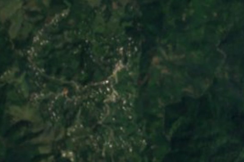
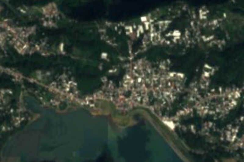


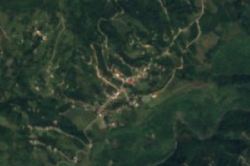


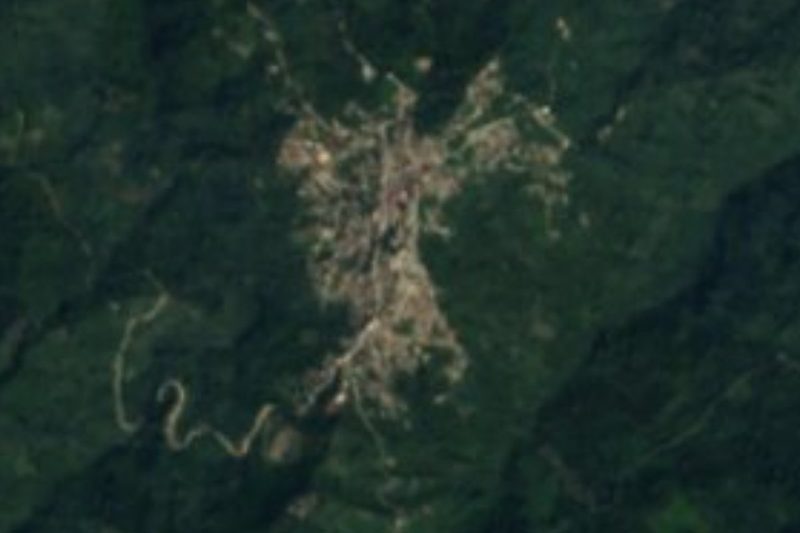
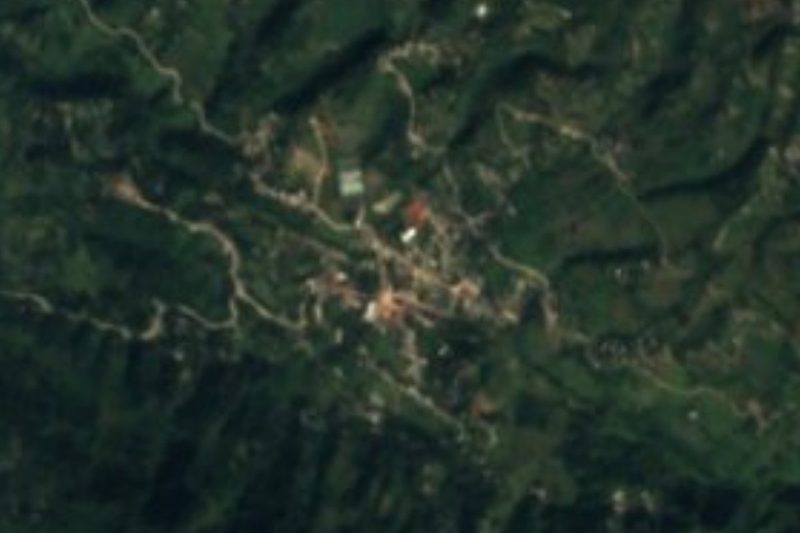
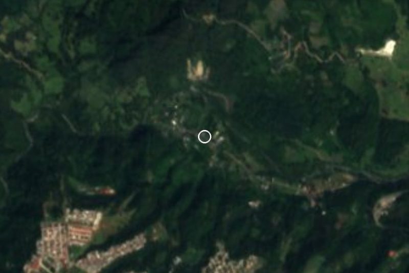
Drive times by road from OpenStreetMap, without traffic. Times marked ~ are estimated from the straight-line distance.
Location from OpenStreetMap. Written by Puebloteca.