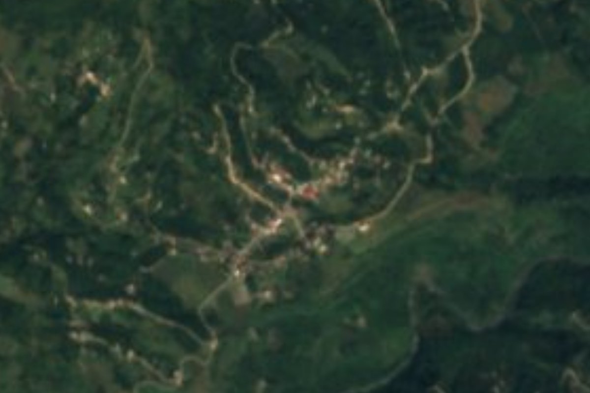
Village Tepetzintla, Puebla Sierra Norte de Puebla
Nahua village of Tepetzintla founded in 1940 by the Hernández family, in the Sierra Norte near Tetela de Ocampo; Saint Raphael feast on 24 October.
From Huamantla: about 1 h 25 min by road (~95 km) How to get there ↓
Near here
See everything nearby ↓


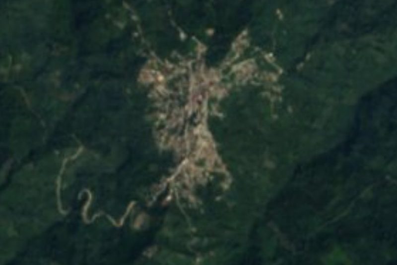
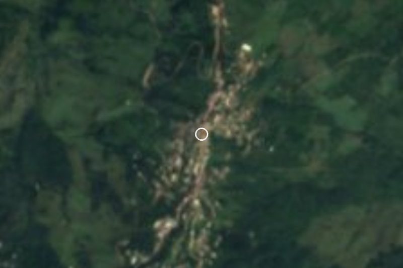

Plan your visit to Tlamanca de Hernández
Where to stay near Tlamanca de Hernández
Compare hotels, posadas and guest houses in Tlamanca de Hernández.
Tours to Tlamanca de Hernández
Day trips and guided outings from Tetela de Ocampo often include Tlamanca de Hernández; with a local guide you can get there without a car.
How to get to Tlamanca de Hernández
- From Huamantla: about 1 h 25 min by road (~95 km)
- Nearest airport: Puebla (PBC), 2 h 8 min by car to Tetela de Ocampo
Links open a partner site. We may earn a commission if you book, at no cost to you.
About Tlamanca de Hernández
Few villages in Puebla have such a recent and well-documented history. Tlamanca began around 1940 as a hamlet of 20 to 25 people who came from Xaltatempan, all of the Hernández family, who built palm-thatched houses, raised pigs and chickens and grew rain-fed maize, beans and broad beans. It depended on San Simón Chicometepec, "place among seven hills", until on 10 June 1946, before a state deputy, an envoy of the governor and more than 300 residents, the assembly asked for it to be raised to a pueblo. It was named Tlamanca de Hernández in honour of Daniel Hernández, brother of the founder, Rafael Hernández Quintero. In 2020 it had 2,062 residents and belongs to the municipality of Tepetzintla.
The name is explained as tlamantl, different, and ca, place: "different place", for its terrain, unlike that of its surroundings. The village covers about 1,100 hectares between 1,250 and 1,450 m; the 1,350 m reference was taken in the church courtyard. Progress came step by step: the Monday market, on land donated by Rafael Hernández, opened on 10 March 1947; the church was built between 1948 and 1952 on a plot given by Manuel Portillo; its own civil registry arrived in 1954, a full primary school in 1968, the telesecundaria in 1981, electricity in February 1982, the health centre in 1996 and the high school in 2002. Today it is split into neighbourhoods such as Plan de las Hayas, Hueyatlaco, Tlalchimal, Xaltepec, Ixcoyo and the El Milagro ejido.
About 70% of the people speak Nahuatl, though very few still wear the traditional white clothing. Farming remains the livelihood, with maize, beans, chile, squash, coffee, oranges, sweet limes and limes, plus some cattle; falling prices have pushed many young people to migrate to the cities or abroad. Patches of pine-oak and cloud forest survive on the edges. Tepetzintla, in the Tecolutla basin, averages 14 to 20 °C with 1,100 to 1,600 mm of rain; palm and cane are woven there, along with wool textiles, wood carving and pottery, and people drink coffee, chocolate and fruit wines. Tlamanca marks its founding in February with a basketball tournament that draws neighbouring villages, and on 24 October honours its patron, Saint Raphael the Archangel.
How to get to Tlamanca de Hernández
Tlamanca is about 109 km in a straight line from Puebla city and about 15 km from Tetela de Ocampo. Take the paved road from Tetela to Cuautempan, then a dirt road via Totomoxtla; another route links to Tepetzintla, Ahuacatlán and Zacatlán. Tulancingo is about 59 km away.
Directions to Tlamanca de Hernández on Google Maps
Distances are in a straight line; the road is usually longer.
Links open a partner site. We may earn a commission if you book, at no cost to you.
From the nearest cities to Tlamanca de Hernández
- Poza Rica · about 95 km by road, ~1 h 25 min
- Huamantla · about 95 km by road, ~1 h 25 min
- Huauchinango · 100 km by road, 1 h 55 min
Drive times by road from OpenStreetMap, without traffic or stops. Times marked ~ are estimated from the straight-line distance.
Visiting Tlamanca de Hernández: what to see and do
The village church, built between 1948 and 1952.
The Monday market, running since 1947.
The feast of Saint Raphael the Archangel on 24 October.
The founding-day basketball tournament in February.
Tetela de Ocampo, about 15 km away.
Plan your trip
Places to stay in Tlamanca de Hernández
Compare hotels, posadas, and rentals in and around Tlamanca de Hernández.
Tours & activities
Day trips and guided outings from Tetela de Ocampo often include Tlamanca de Hernández; with a local guide you can get there without a car.
Rental cars
Pick up a car at PBC (Puebla): about 2 h 8 min by road to Tetela de Ocampo, then 15 km more to Tlamanca de Hernández, on your own schedule.
Flights
The nearest airport with scheduled flights is Puebla (PBC), about 2 h 8 min by road from Tetela de Ocampo, the base for Tlamanca de Hernández.
Mobile data
Signal can drop away from Tetela de Ocampo: download a map of the way to Tlamanca de Hernández before you set out, or carry an eSIM with data.
Links open a partner site. We may earn a commission if you book, at no cost to you.
When to go to Tlamanca de Hernández cool
Tlamanca de Hernández shares the climate of Tetela de Ocampo, 15 km away. The best months to visit are January, February, March, and December.
See the month-by-month climate of Tetela de Ocampo
Weather in Tlamanca de Hernández now and the next 7 days
Live forecast from Open-Meteo. Chance of rain is the day's highest.
The closest Pueblo Mágico: Tetela de Ocampo

Tetela de Ocampo is the Pueblo Mágico closest to Tlamanca de Hernández, with places to stay, food, and more to see.
Also close to
- Zacatlán · Puebla · 16 km away
- Chignahuapan · Puebla · 27 km away
- Cuetzalan · Puebla · 31 km away
- Zozocolco · Veracruz · 32 km away
- Tlatlauquitepec · Puebla · 35 km away
Closest to Tlamanca de Hernández
-
San Esteban Cuautempan · Village · 5 km away
-
Tepango de Rodríguez · Village · 6 km away
-
Cascadas de Aconco · Waterfall · 8 km away
-
Zongozotla · Village · 9 km away
-
Amixtlán · Village · 11 km away
-
Camocuautla · Village · 11 km away
-
Cuacuila · Village · 11 km away
-
Tlacotepec · Village · 12 km away

Near Tlamanca de Hernández




Drive times by road from OpenStreetMap, without traffic. Times marked ~ are estimated from the straight-line distance.
Location from OpenStreetMap. Written by Puebloteca.