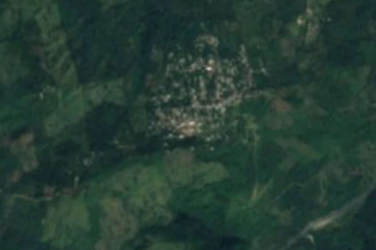
Village Jopala, Puebla Municipality of Jopala Sierra Norte de Puebla Totonacapan
Village of Jopala, Totonac country, at 565 m in the Sierra Norte; named for its patroness, Our Lady of Good Air. Clay, coffee and rain.
From Huauchinango: 1 h 30 min by car (63 km by road) How to get there ↓
Near here
See everything nearby ↓



Plan your visit to Buenos Aires
Where to stay near Buenos Aires
Compare hotels, posadas and guest houses in Buenos Aires.
Tours to Buenos Aires
Day trips and guided outings from Zozocolco often include Buenos Aires; with a local guide you can get there without a car.
How to get to Buenos Aires
- From Huauchinango: about 1 h 30 min by road (~63 km)
- Nearest airport: Poza Rica (PAZ), 3 h 15 min by car to Zozocolco
Links open a partner site. We may earn a commission if you book, at no cost to you.
About Buenos Aires
Nothing to do with Argentina: this Sierra Norte village takes its name from its patroness, Our Lady of Good Air (Nuestra Señora del Buen Aire). Buenos Aires had 1,584 residents in 2020 and lies at just 565 m, about 13 km north-east of Jopala and some 6 km west of Chicontla, the municipality's largest town. In a straight line it is 17 km from Zozocolco, across the line in Veracruz, 52 km from Poza Rica and 133 km from the city of Puebla.
Jopala, "green place" by its Nahuatl etymology, covers about 165 km² and has been Totonac and Nahua land since before the Conquest, which reached it in 1522; it became a free municipality in 1895. It borders Zihuateutla, Tlaola, Tlapacoya, Hermenegildo Galeana, San Felipe Tepatlán and Olintla, and to the east Filomeno Mata and Mecatlán in Veracruz. Its water feeds the Tecolutla river through two branches: a little over half the territory drains to the Necaxa and the rest to the Laxaxalpan. The climate is semi-warm and humid, with rain in every month and averages of 18 to 26 °C; six hectares in ten are farmed and nearly a third is pasture.
Tutunakú is spoken in the municipality alongside Spanish. The great celebration is the fair of the Virgin of the Assumption in the seat, from 12 to 22 August, with the dances of the Negritos, Toreadores, Malinches, San Miguel, Españoles and the Wewes, also called tejoneros; the 16th-century parish church of the Assumption stands there too. Potters work local clay, and the table offers mole poblano, pipián, tamales and pressed pork crackling, with coffee, chocolate, atole and refino, the local aguardiente.
How to get to Buenos Aires
Drive from Huauchinango: 1 h 30 min, 63 km
The gateway is Xicotepec de Juárez: the village of Patla, in the same municipality of Jopala, is about 17 km and just over 20 minutes by car from there. There is no direct bus from Puebla's CAPU to Xicotepec; you change in Huauchinango, about three and a half hours in all. We found no transport with a published timetable for the last stretch to Buenos Aires; ask in Xicotepec or Chicontla about colectivos or taxis.
Directions to Buenos Aires on Google Maps
Distances are in a straight line; the road is usually longer.
Links open a partner site. We may earn a commission if you book, at no cost to you.
From the nearest cities to Buenos Aires
- Huauchinango · 63 km by road, 1 h 30 min
- Papantla · 95 km by road, 2 h
- Poza Rica · 89 km by road, 2 h 5 min
Drive times by road from OpenStreetMap, without traffic or stops. Times marked ~ are estimated from the straight-line distance.
Visiting Buenos Aires: what to see and do
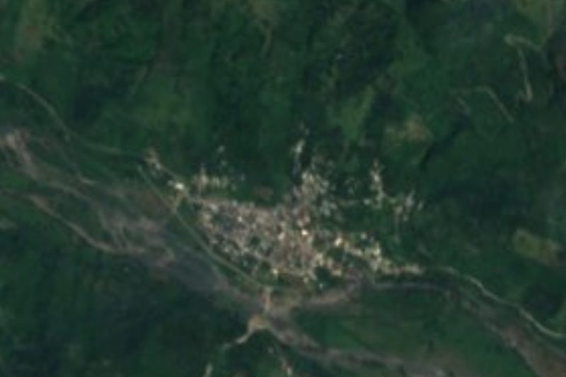
Buenos Aires' houses on the green mountainside.
The Assumption fair in Jopala, 12 to 22 August, with its dances.
Chicontla, the municipality's largest town, about 6 km away.
Plan your trip
Places to stay in Buenos Aires
Compare hotels, posadas, and rentals in and around Buenos Aires.
Tours & activities
Day trips and guided outings from Zozocolco often include Buenos Aires; with a local guide you can get there without a car.
Rental cars
Pick up a car at PAZ (Poza Rica): about 3 h 15 min by road to Zozocolco, then 17 km more to Buenos Aires, on your own schedule.
Flights
The nearest airport with scheduled flights is Poza Rica (PAZ), about 3 h 15 min by road from Zozocolco, the base for Buenos Aires.
Mobile data
Signal can drop away from Zozocolco: download a map of the way to Buenos Aires before you set out, or carry an eSIM with data.
Links open a partner site. We may earn a commission if you book, at no cost to you.
When to go to Buenos Aires warm
Buenos Aires shares the climate of Zozocolco, 17 km away. The best months to visit are February, March, November, and December.
See the month-by-month climate of Zozocolco
Weather in Buenos Aires now and the next 7 days
Live forecast from Open-Meteo. Chance of rain is the day's highest.
The closest Pueblo Mágico: Zozocolco

Zozocolco is the Pueblo Mágico closest to Buenos Aires, with places to stay, food, and more to see.
Also close to
- Cuetzalan · Puebla · 28 km away
- Xicotepec · Puebla · 28 km away
- Huauchinango · Puebla · 32 km away
- Zacatlán · Puebla · 33 km away
- Tetela de Ocampo · Puebla · 38 km away
Closest to Buenos Aires
-
Bienvenido · Village · 4 km away
-
Jopala · Village · 6 km away
-
Olintla · Village · 9 km away
-
Tlapacoya · Village · 11 km away
-
Cerro Grande · Village · 12 km away
-
Dimas López · Village · 12 km away
-
Amixtlán · Village · 13 km away
-
Camocuautla · Village · 13 km away
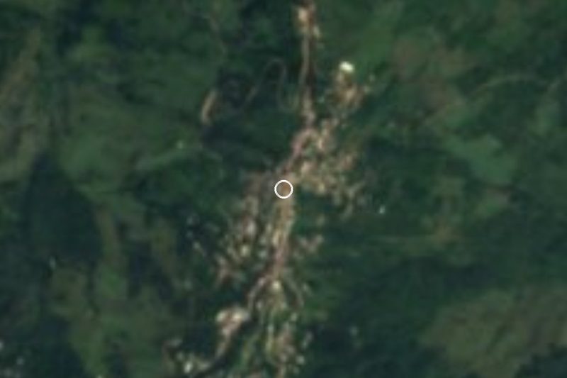

Near Buenos Aires




Drive times by road from OpenStreetMap, without traffic. Times marked ~ are estimated from the straight-line distance.
Location from OpenStreetMap. Written by Puebloteca.