Village Filomeno Mata, Veracruz Totonacapan
Farming village in the Totonac highlands, 9 km northeast of Filomeno Mata on state road 127 at about 320 m.
From Poza Rica: 1 h 10 min by car (58 km by road) How to get there ↓
Near here
See everything nearby ↓



Plan your visit to Cerro Grande
Where to stay near Cerro Grande
Compare hotels, posadas and guest houses in Cerro Grande.
Tours to Cerro Grande
Day trips and guided outings from Zozocolco often include Cerro Grande; with a local guide you can get there without a car.
How to get to Cerro Grande
- From Poza Rica: about 1 h 10 min by road (~58 km)
- Nearest airport: Poza Rica (PAZ), 3 h 15 min by car to Zozocolco
Links open a partner site. We may earn a commission if you book, at no cost to you.
About Cerro Grande
Cerro Grande is one of only ten localities in the small municipality of Filomeno Mata, which borders Puebla state to the south and west. It lies about 9 km northeast of the municipal seat and well below it: the seat stands at around 740 m, while Cerro Grande sits at about 320 m in the foothills of the Papantla range. In 2020 it had 1,506 residents, most of them living from farming.
This is Totonac country. The municipal seat was once called Meztitlán, "place dedicated to the moon", a dependency of Mecatlán that later became Santo Domingo Meztitlán; in 1932 it took the name of the liberal journalist Filomeno Mata. The climate is warm, averaging about 23 °C, with rain in summer and early autumn, and the streams drain toward the Necaxa or Tecolutla river. The woods hold chalahuite, laurel, cedar and jonote trees, and the wildlife includes chachalacas, raccoons, rattlesnakes and coral snakes.
Festive life centres on the municipal seat, which honours Saint Rose of Lima from 28 August to 5 September with Voladores and the dances of the Negritos, Quetzales, Tejoneros, Malinches and Tocotines. On 1 and 2 November families set up altars with their dead relatives' favourite dishes, and 12 December belongs to the Virgin of Guadalupe. Huapango is the local music, wooden washing troughs called bateas are carved by hand, and pork or beef is stewed in chileajo.
How to get to Cerro Grande
Drive from Poza Rica: 1 h 10 min, 58 km
Cerro Grande lies on state road VER 127, about 9 km from Filomeno Mata, some 11 minutes. From Poza Rica, the nearest large city, it is about 58 km and 1 h 10 min: take Federal Highway 130 (Pachuca-Tuxpan) west, turn onto the Entabladero-Poza Rica road and then the branch road to Coyutla (VER 127) into the hills. From Zozocolco de Hidalgo, the nearest Pueblo Mágico, it is about 30 km, around 40 minutes, also joining VER 127. Poza Rica's central bus station (Av. Puebla at Pánuco) is served by ADO, ETN and other lines; ETN runs from Mexico City's Terminal Norte in about 3 h 40 min. We found no published colectivo routes or timetables between Poza Rica, Coyutla or Filomeno Mata and Cerro Grande, so the mountain stretch is best done by car or local transport.
Directions to Cerro Grande on Google Maps
Distances are in a straight line; the road is usually longer.
Links open a partner site. We may earn a commission if you book, at no cost to you.
From the nearest cities to Cerro Grande
- Poza Rica · 58 km by road, 1 h 10 min
- Papantla · 65 km by road, 1 h 10 min
- Huauchinango · 71 km by road, 1 h 25 min
Drive times by road from OpenStreetMap, without traffic or stops. Times marked ~ are estimated from the straight-line distance.
Visiting Cerro Grande: what to see and do
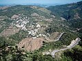
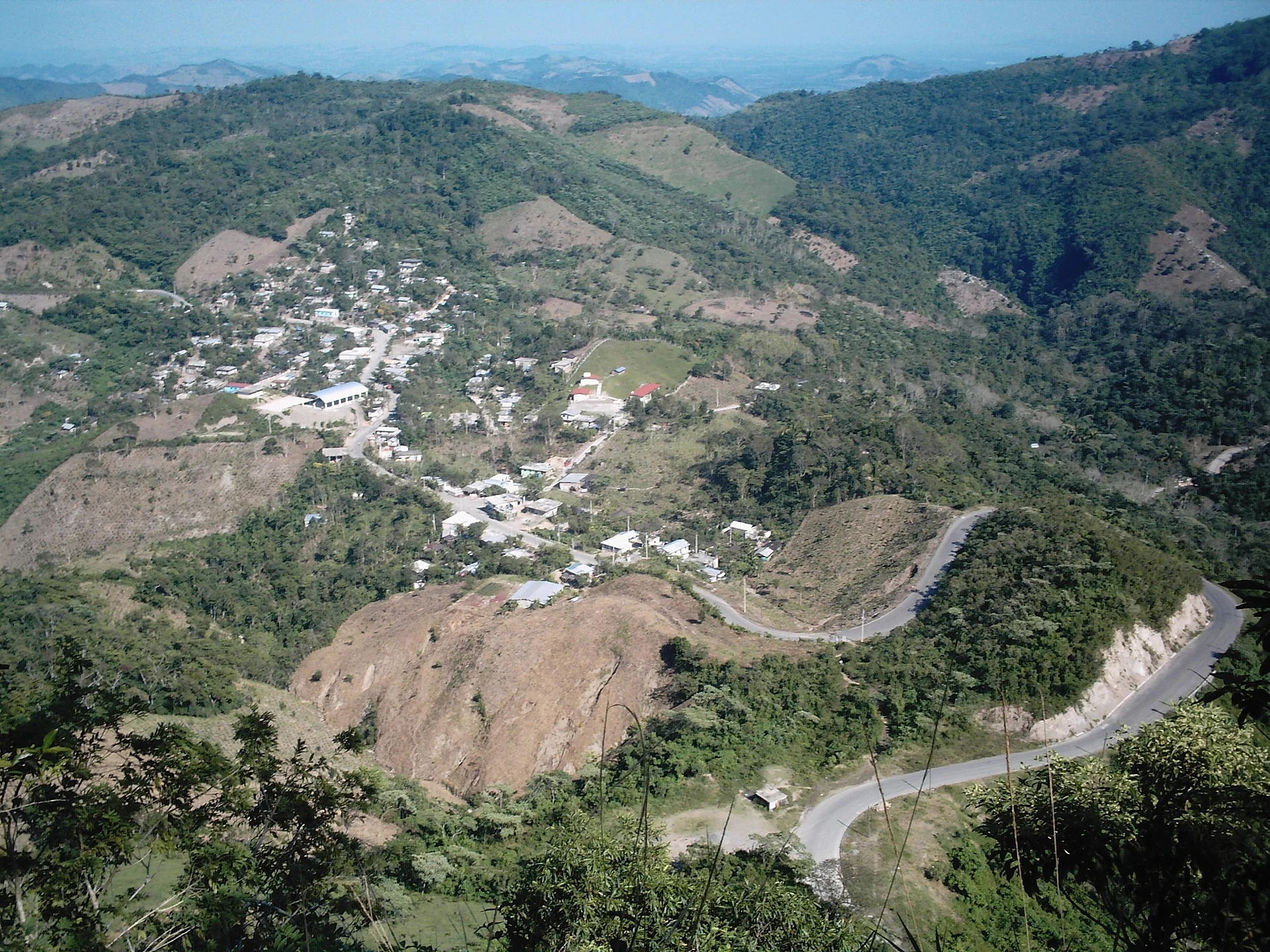
The hillside village and the views over the Papantla hills.
State road 127 between Cerro Grande and Filomeno Mata, winding through the hills.
The feast of Saint Rose of Lima in Filomeno Mata, 28 August to 5 September, with Voladores and dances.
Day of the Dead altars, 1 and 2 November.
Hand-carved wooden bateas made in the municipality.
La Piedra Agujerada, in the north of the municipality by Coahuitlán, with a waterfall of about 100 m (hard to reach).
Plan your trip
Places to stay in Cerro Grande
Compare hotels, posadas, and rentals in and around Cerro Grande.
Tours & activities
Day trips and guided outings from Zozocolco often include Cerro Grande; with a local guide you can get there without a car.
Rental cars
Pick up a car at PAZ (Poza Rica): about 3 h 15 min by road to Zozocolco, then 15 km more to Cerro Grande, on your own schedule.
Flights
The nearest airport with scheduled flights is Poza Rica (PAZ), about 3 h 15 min by road from Zozocolco, the base for Cerro Grande.
Mobile data
Signal can drop away from Zozocolco: download a map of the way to Cerro Grande before you set out, or carry an eSIM with data.
Links open a partner site. We may earn a commission if you book, at no cost to you.
When to go to Cerro Grande warm
Cerro Grande shares the climate of Zozocolco, 15 km away. The best months to visit are February, March, November, and December.
See the month-by-month climate of Zozocolco
Weather in Cerro Grande now and the next 7 days
Live forecast from Open-Meteo. Chance of rain is the day's highest.
The closest Pueblo Mágico: Zozocolco

Zozocolco is the Pueblo Mágico closest to Cerro Grande, with places to stay, food, and more to see.
Also close to
- Cuetzalan · Puebla · 30 km away
- Xicotepec · Puebla · 30 km away
- Huauchinango · Puebla · 39 km away
- Papantla · Veracruz · 44 km away
- Zacatlán · Puebla · 45 km away
Closest to Cerro Grande
-
Coyutla · Town · 3 km away
-
Progreso de Zaragoza · Village · 5 km away
-
Jopala · Village · 8 km away
-
Dimas López · Village · 10 km away
-
Buenos Aires · Village · 12 km away
-
Coxquihui · Town · 12 km away
-
Bienvenido · Village · 15 km away
-
Chicontla · Village · 15 km away
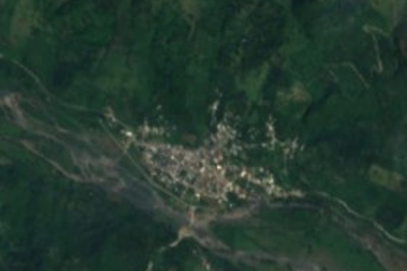
Near Cerro Grande





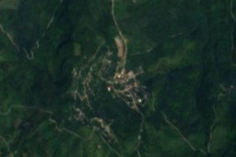


Drive times by road from OpenStreetMap, without traffic. Times marked ~ are estimated from the straight-line distance.
Location from OpenStreetMap. Written by Puebloteca.