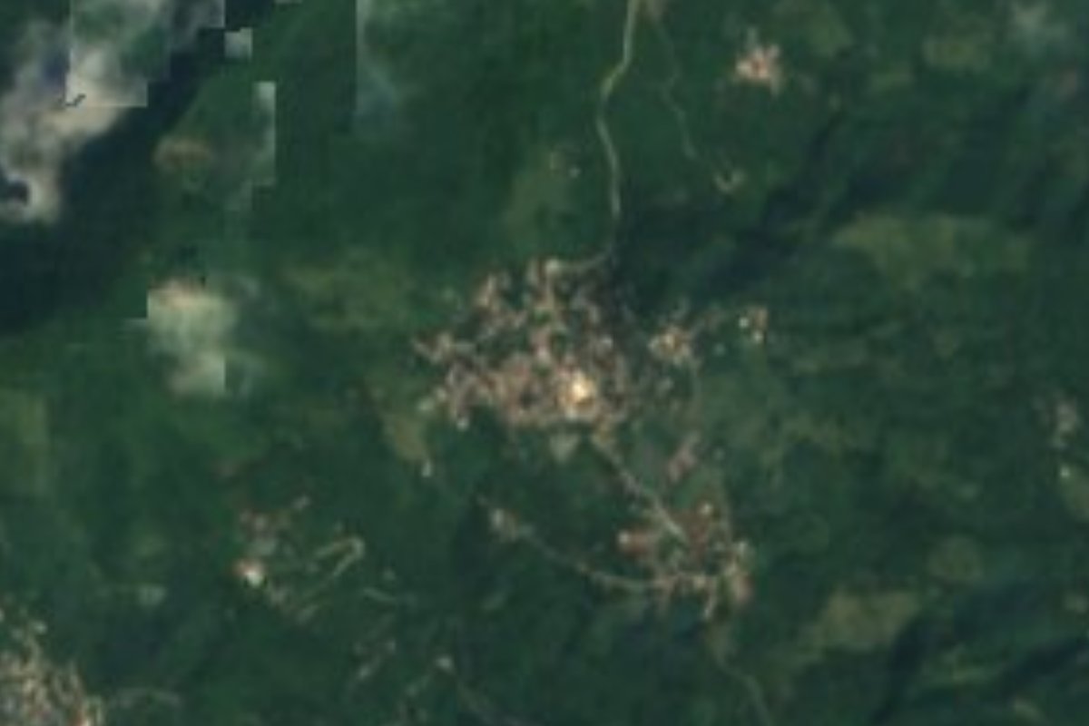
Village Huejutla de Reyes, Hidalgo Municipality of Huejutla de Reyes Hidalgo Huasteca
Village of 1,868 people at 863 m southwest of Huejutla de Reyes, with hills 1 km away and Xantolo in the seat at the end of October.
From Tulancingo: about 2 h 10 min by road (~145 km) How to get there ↓
Near here
See everything nearby ↓




Plan your visit to Ixcatlán
Where to stay near Ixcatlán
Compare hotels, posadas and guest houses in Ixcatlán.
Tours to Ixcatlán
Day trips and guided outings from Xilitla often include Ixcatlán; with a local guide you can get there without a car.
 Tours from Xilitla
Surrealist Garden of Edward James, Castle of Health and Xilitla Nativity
★ 4.3 (10) · From US$100
How to get to Ixcatlán
- From Tulancingo: about 2 h 10 min by road (~145 km)
- Nearest airport: Querétaro (QRO), 3 h 27 min by car to Xilitla
Links open a partner site. We may earn a commission if you book, at no cost to you.
Tours from Xilitla, near Ixcatlán


Tours, prices and ratings from Viator, checked weekly. We may earn a commission if you book.
About Ixcatlán
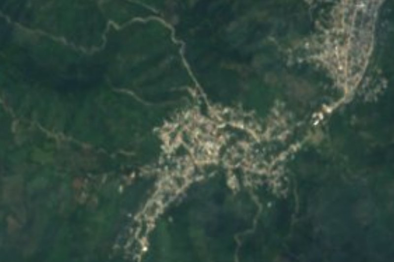
Ixcatlán sits at 863 metres in the Huasteca of Hidalgo, about 13.6 km southwest of Huejutla de Reyes. Its 1,868 residents (2020) make it the seventh-largest of the municipality's 213 localities. The name is Nahuatl: ichcatl, 'cotton', and tlan, 'place' — the place where cotton is plentiful. Other communities carry its name as a surname around it: Ahuacahíxpa Ixcatlán 400 metres away, Aguacatitla Ixcatlán 900 metres, and Poxtla Ixcatlán with 430 people; Axcaco, with 916, is a kilometre and a half off.
The land is mountain and low hills, and peaks show from the village: Tepexhica (769 m) 1 km to the southeast and Zihuapiltepetl (1,138 m) 1.2 km to the northwest. Pueblos América records an average of 19 °C and about 262 rainy days a year. The municipality, with a warm humid climate, has cedar, sapote, capulín and acacia among its plants and the tigrillo (a small wild cat), deer, armadillo, wild boar, hummingbirds and hawks among its animals; farmers grow maize, beans and 2,440 hectares of coffee.
In Huejutla municipality more than half the people speak an indigenous language, mostly Huasteca Nahuatl, and the cooking shows it: zacahuil, bocoles, enchiladas in dried-chile or sesame sauce, cecina, Huasteca-style chicken and beef barbacoa. In the seat, the 16th-century Augustinian convent of San Agustín stands on the base of an indigenous pyramid, and the clock on Plaza Revolución plays 'El Cantador' every hour. From 30 October to 2 November 2026 it hosts Xantolo, the Day of the Dead festival, with masked dance troupes, offerings and a monumental altar of more than 1,100 square metres.
How to get to Ixcatlán
Federal highway 105 passes near Ixcatlán; OpenStreetMap names it the Carretera Pachuca-Tempoal and shows it paved. Local roads, partly unpaved, branch off it toward the community. Huejutla de Reyes lies about 13.6 km to the northeast in a straight line. From Pachuca, Rome2rio estimates about 3 h 14 min by car and an ADO bus with five departures a day, taking about 4 h 21 min.
From Mexico City, ADN40 estimates about seven hours by bus from the Terminal Central del Norte (Futura or ADO) and advises drivers to take the Mexico-Pachuca motorway and then federal 105, which has many curves and some fog; drive in daylight.
Directions to Ixcatlán on Google Maps
Distances are in a straight line; the road is usually longer.
Links open a partner site. We may earn a commission if you book, at no cost to you.
From the nearest cities to Ixcatlán
- Huauchinango · about 145 km by road, ~2 h 10 min
- Tulancingo · about 145 km by road, ~2 h 10 min
- Ciudad Valles · 161 km by road, 2 h 50 min
Drive times by road from OpenStreetMap, without traffic or stops. Times marked ~ are estimated from the straight-line distance.
Before you go to Ixcatlán: hours, prices and tips
- Best season
- Huejutla de Reyes holds its Xantolo (Huasteca Day of the Dead) from 30 October to 2 November; in 2026 it includes an altar of more than 1,100 m², an offering for deceased children on 31 October and the lighting of 2,026 candles on 2 November. About 80,000 visitors are expected and the region has roughly 1,800 rooms, so book early. ADN40 · checked Oct 2026
Hours and prices change, especially around holidays. Each fact links to where we checked it.
Visiting Ixcatlán: what to see and do
Cerros Tepexhica (769 m) and Zihuapiltepetl (1,138 m), 1 and 1.2 km from the community.
Axcaco and Aguacatitla Ixcatlán, neighbouring communities a kilometre or so away.
The San Agustín convent and Huejutla's 16th-century cathedral, in the seat.
The Plaza Revolución clock in Huejutla, which plays 'El Cantador' every hour.
Huejutla's Xantolo, from 30 October to 2 November 2026.
Huasteca cooking: zacahuil, bocoles and dried-chile or sesame enchiladas.
Plan your trip
Places to stay in Ixcatlán
Compare hotels, posadas, and rentals in and around Ixcatlán.
Tours & activities
Day trips and guided outings from Xilitla often include Ixcatlán; with a local guide you can get there without a car.
Rental cars
Pick up a car at QRO (Querétaro): about 3 h 27 min by road to Xilitla, then 58 km more to Ixcatlán, on your own schedule.
Flights
The nearest airport with scheduled flights is Querétaro (QRO), about 3 h 27 min by road from Xilitla, the base for Ixcatlán.
Mobile data
Signal can drop away from Xilitla: download a map of the way to Ixcatlán before you set out, or carry an eSIM with data.
Links open a partner site. We may earn a commission if you book, at no cost to you.
When to go to Ixcatlán mild
Ixcatlán shares the climate of Xilitla, 58 km away. The best months to visit are February, March, August, and November.
See the month-by-month climate of Xilitla
Weather in Ixcatlán now and the next 7 days
Live forecast from Open-Meteo. Chance of rain is the day's highest.
The closest Pueblo Mágico: Xilitla

Xilitla is the Pueblo Mágico closest to Ixcatlán, with places to stay, food, and more to see.
Also close to
- Metztitlán · Hidalgo · 60 km away
- Aquismón · San Luis Potosí · 78 km away
Closest to Ixcatlán
-
Tlaltzintla · Village · 4 km away
-
Coacuilco · Village · 6 km away
-
Jaltocán · Town · 6 km away
-
Acuatempa · Village · 7 km away
-
Contépec · Village · 7 km away
-
Macuxtepetla · Village · 7 km away
-
Huichapa · Village · 9 km away
-
San Francisco · Village · 9 km away

Near Ixcatlán






Drive times by road from OpenStreetMap, without traffic. Times marked ~ are estimated from the straight-line distance.
Location from OpenStreetMap. Written by Puebloteca.