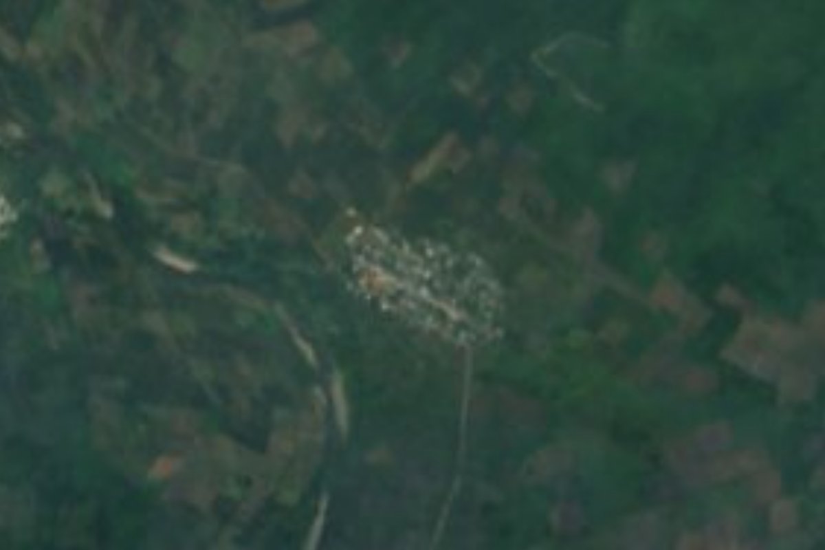
Village San Felipe Orizatlán, Hidalgo Municipality of San Felipe Orizatlán Hidalgo Huasteca
Huasteca locality in San Felipe Orizatlán at 148 m, almost empty until 1980 and home to 599 people in 2020; the seat is about 4 km away.
From Ciudad Valles: 2 h 15 min by car (133 km by road) How to get there ↓
Near here
See everything nearby ↓


Plan your visit to Santa Ana
Where to stay near Santa Ana
Compare hotels, posadas and guest houses in Santa Ana.
Tours to Santa Ana
Day trips and guided outings from Xilitla often include Santa Ana; with a local guide you can get there without a car.
How to get to Santa Ana
- From Ciudad Valles: about 2 h 15 min by road (~133 km)
- Nearest airport: Querétaro (QRO), 3 h 27 min by car to Xilitla
Links open a partner site. We may earn a commission if you book, at no cost to you.
About Santa Ana
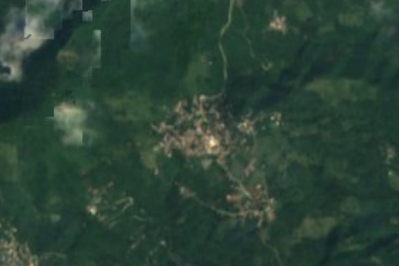
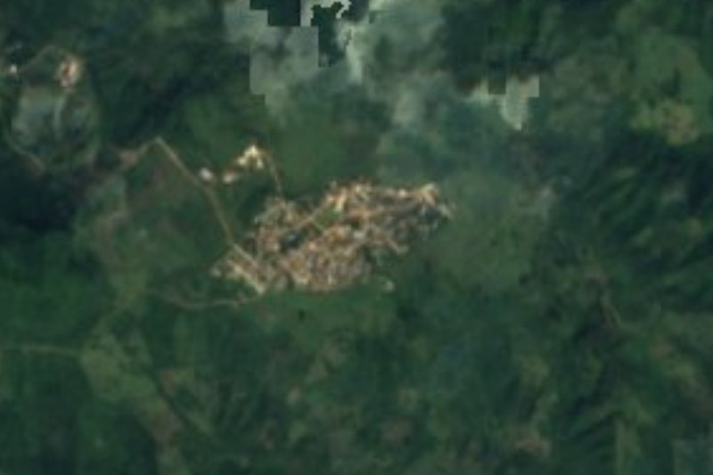
Santa Ana lies in the lowlands of the Huasteca of Hidalgo, just 148 metres above the sea, in rugged terrain of the Huasteca Karst subprovince. It is hot and humid, with heavy summer downpours, and runoff heads for the San Pedro River, part of the Moctezuma basin. INEGI assigns it to San Felipe Orizatlán, a municipality spread between 100 and 600 metres of altitude.
The most striking part of its history is the census. In 1910 there were 48 people; by 1950 no one was left, and in 1980 nine were counted. Ten years later 410 residents appear, and the number has risen steadily since: 405 in 2000, 451 in 2010 and 599 in 2020 (306 men and 293 women), 1.56% of the municipality. The figures do not explain the change, but they show a recent settlement rather than one of the region's old villages.
Orizatlán, the municipal seat, has a church raised in the 16th century with a neoclassical bas-relief and a bell tower decorated with figures of rough stone. The municipality's name joins its patron saint, San Felipe de Jesús, to the Nahuatl word for "place of rice"; Nahuatl speakers in the Huasteca call it Sahwantitlan. Wind bands are part of every popular festival in the area, and zacahuil, river prawns called acamayas, ranch-style chicken and squash are among the municipality's traditional dishes.
How to get to Santa Ana
Drive from Ciudad Valles: 2 h 15 min, 133 km
Santa Ana is about 4 km from San Felipe Orizatlán in a straight line, about 25 km from Tlanchinol and about 37 km from Huautla (approximate figures worked out from Wikipedia's coordinates; by road they will be longer). Federal Highway 105, which Wikipedia lists as running from Pachuca to Huejutla through Metzquititlán, Molango and Tlanchinol, is the area's main artery. Criterio Hidalgo reports that when the Tlanchinol–Huejutla stretch is blocked by landslides, the authorities point drivers to the road through Hueyapa toward San Felipe Orizatlán, so Orizatlán is linked to Tlanchinol by that route. From Orizatlán to Santa Ana, follow the local road; ask in the seat about the final stretch and about transport.
Directions to Santa Ana on Google Maps
Distances are in a straight line; the road is usually longer.
Links open a partner site. We may earn a commission if you book, at no cost to you.
From the nearest cities to Santa Ana
- Ciudad Valles · 133 km by road, 2 h 15 min
- Huauchinango · about 165 km by road, ~2 h 25 min
- Tulancingo · about 165 km by road, ~2 h 25 min
Drive times by road from OpenStreetMap, without traffic or stops. Times marked ~ are estimated from the straight-line distance.
Visiting Santa Ana: what to see and do
Orizatlán's 16th-century church, with its neoclassical bas-relief.
The low hill country at 148 m, with jungle and pasture.
Zacahuil and acamayas, dishes of the municipal kitchen.
The wind bands at the area's popular festivals.
Plan your trip
Places to stay in Santa Ana
Compare hotels, posadas, and rentals in and around Santa Ana.
Tours & activities
Day trips and guided outings from Xilitla often include Santa Ana; with a local guide you can get there without a car.
Rental cars
Pick up a car at QRO (Querétaro): about 3 h 27 min by road to Xilitla, then 46 km more to Santa Ana, on your own schedule.
Flights
The nearest airport with scheduled flights is Querétaro (QRO), about 3 h 27 min by road from Xilitla, the base for Santa Ana.
Mobile data
Signal can drop away from Xilitla: download a map of the way to Santa Ana before you set out, or carry an eSIM with data.
Links open a partner site. We may earn a commission if you book, at no cost to you.
When to go to Santa Ana mild
Santa Ana shares the climate of Xilitla, 46 km away. The best months to visit are February, March, August, and November.
See the month-by-month climate of Xilitla
Weather in Santa Ana now and the next 7 days
Live forecast from Open-Meteo. Chance of rain is the day's highest.
The closest Pueblo Mágico: Xilitla

Xilitla is the Pueblo Mágico closest to Santa Ana, with places to stay, food, and more to see.
Also close to
- Aquismón · San Luis Potosí · 64 km away
- Metztitlán · Hidalgo · 71 km away
Closest to Santa Ana

Near Santa Ana








Drive times by road from OpenStreetMap, without traffic. Times marked ~ are estimated from the straight-line distance.
Location from OpenStreetMap. Written by Puebloteca.