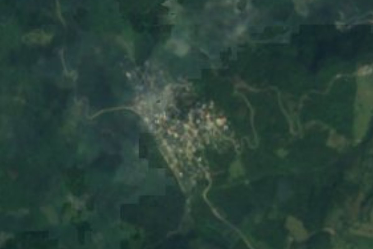
Village Tlanchinol, Hidalgo Municipality of Tlanchinol
Huasteca locality in Tlanchinol at 757 m with 1,056 residents in 2020, down from 1,348 in 2005; about 16 km in a straight line from the seat.
From Ciudad Valles: 2 h 10 min by car (132 km by road) How to get there ↓
Near here
See everything nearby ↓


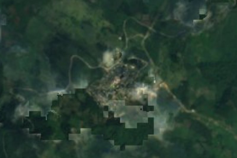
Plan your visit to Temango
Where to stay near Temango
Compare hotels, posadas and guest houses in Temango.
Tours to Temango
Day trips and guided outings from Xilitla often include Temango; with a local guide you can get there without a car.
How to get to Temango
- From Ciudad Valles: about 2 h 10 min by road (~132 km)
- Nearest airport: Querétaro (QRO), 3 h 27 min by car to Xilitla
Links open a partner site. We may earn a commission if you book, at no cost to you.
About Temango
Temango rises to 757 metres in the Huasteca of Hidalgo, inside the Huasteca Karst subprovince. The climate is semi-warm and humid with rain throughout the year, and its streams end up in the Amajac. It is one of the localities of the municipality of Tlanchinol; going by Wikipedia's coordinates, the seat is some 16 km off and San Felipe Orizatlán some 10 km, both as the crow flies.
The census series shows a recent decline. There were 288 people in 1900 and 776 in 1970; the count rose to 1,158 in 1980 and 1,245 in 1990, and peaked at 1,348 in 2005. It has lost almost three hundred since: 1,125 in 2010 and 1,056 in 2020, made up of 511 men and 545 women, 3.06% of the municipality.
The reference point nearby is Tlanchinol, where INEGI describes the former convent of San Agustín, from the 16th century, with a 10-metre bell gable of six arches for bells, one of them from 1571, and religious figures carved in wood and stone from the same period. The municipality is known for palm crafts (hats, mats, small brooms) and for zacahuil, enchiladas with cecina, and sweet potato and piloncillo candies and charamuscas.
How to get to Temango
Drive from Ciudad Valles: 2 h 10 min, 132 km
Temango is about 16 km from Tlanchinol, about 10 km from San Felipe Orizatlán, about 21 km from Tepehuacán de Guerrero and about 43 km from Huautla in a straight line (approximate figures from Wikipedia's coordinates; by road they will be longer). The Federal Highway 105 list runs through Tlanchinol, Acatipa and Huejutla, and Criterio Hidalgo has reported landslides and falling rocks on the Tlanchinol–Huejutla stretch; when it is cut, the authorities recommend the alternative via Hueyapa toward San Felipe Orizatlán. From either seat, ask about the road to Temango.
Directions to Temango on Google Maps
Distances are in a straight line; the road is usually longer.
Links open a partner site. We may earn a commission if you book, at no cost to you.
From the nearest cities to Temango
- Ciudad Valles · 132 km by road, 2 h 10 min
- Tulancingo · about 155 km by road, ~2 h 20 min
- Huauchinango · about 165 km by road, ~2 h 25 min
Drive times by road from OpenStreetMap, without traffic or stops. Times marked ~ are estimated from the straight-line distance.
Visiting Temango: what to see and do
The former convent of San Agustín in Tlanchinol, with its 10 m bell gable.
The 16th-century bells, one dated 1571, in that gable.
The hill landscape at 757 m in the Huasteca.
The palm crafts made in the municipality.
Zacahuil and enchiladas with cecina in the area.
Plan your trip
Places to stay in Temango
Compare hotels, posadas, and rentals in and around Temango.
Tours & activities
Day trips and guided outings from Xilitla often include Temango; with a local guide you can get there without a car.
Rental cars
Pick up a car at QRO (Querétaro): about 3 h 27 min by road to Xilitla, then 42 km more to Temango, on your own schedule.
Flights
The nearest airport with scheduled flights is Querétaro (QRO), about 3 h 27 min by road from Xilitla, the base for Temango.
Mobile data
Signal can drop away from Xilitla: download a map of the way to Temango before you set out, or carry an eSIM with data.
Links open a partner site. We may earn a commission if you book, at no cost to you.
When to go to Temango mild
Temango shares the climate of Xilitla, 42 km away. The best months to visit are February, March, August, and November.
See the month-by-month climate of Xilitla
Weather in Temango now and the next 7 days
Live forecast from Open-Meteo. Chance of rain is the day's highest.
The closest Pueblo Mágico: Xilitla

Xilitla is the Pueblo Mágico closest to Temango, with places to stay, food, and more to see.
Also close to
- Metztitlán · Hidalgo · 61 km away
- Aquismón · San Luis Potosí · 64 km away
Closest to Temango
-
Ahuatitla · Village · 5 km away
-
Huitepec · Village · 9 km away
-
Orizatlán · Town · 10 km away
-
Coacuilco · Village · 11 km away
-
Santa Ana · Village · 12 km away
-
Xilitla (Hidalgo) · Village · 14 km away
-
Jaltocán · Town · 16 km away
-
Tlanchinol · Town · 16 km away


Near Temango








Drive times by road from OpenStreetMap, without traffic. Times marked ~ are estimated from the straight-line distance.
Location from OpenStreetMap. Written by Puebloteca.